
Pueblos
- SHAWI
Cita
Ministerio de Cultura Perú. (2020). Lista de pueblos indígenas u originarios. BDPI: Base de Datos de Pueblos Indígenas u Originarios. https://bdpi.cultura.gob.pe/pueblos-indigenas
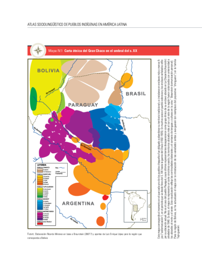
Carta étnica del Gran Chaco en el umbral del s. XX
Mapa 1890 - 1935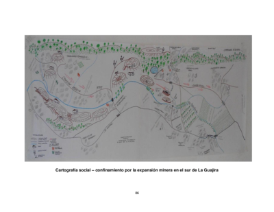
Cartografía social – confinamiento por la expansión minera en el sur de La Guajira
Mapa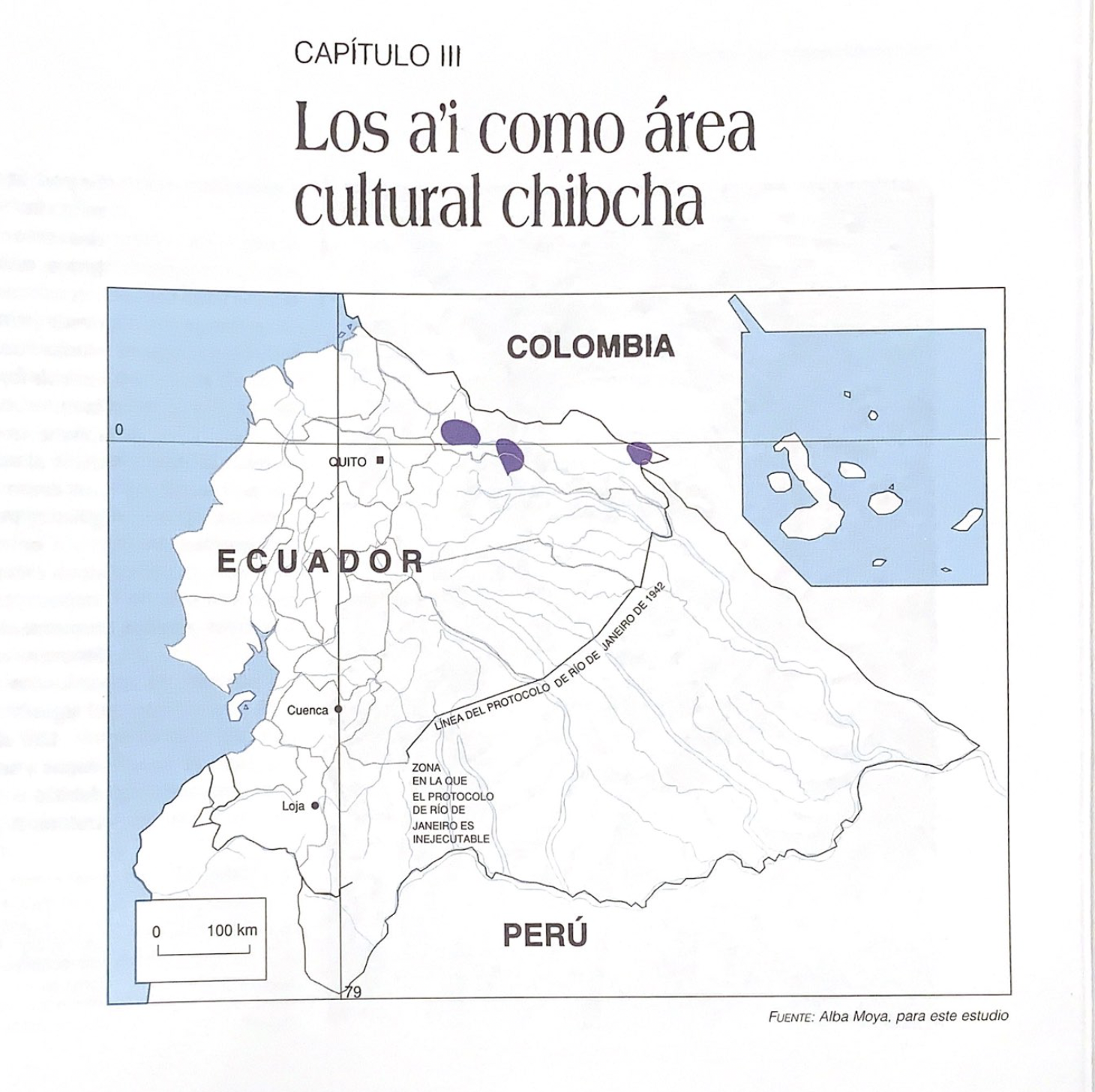
Los a'i como área cultural chibcha
Mapa 1997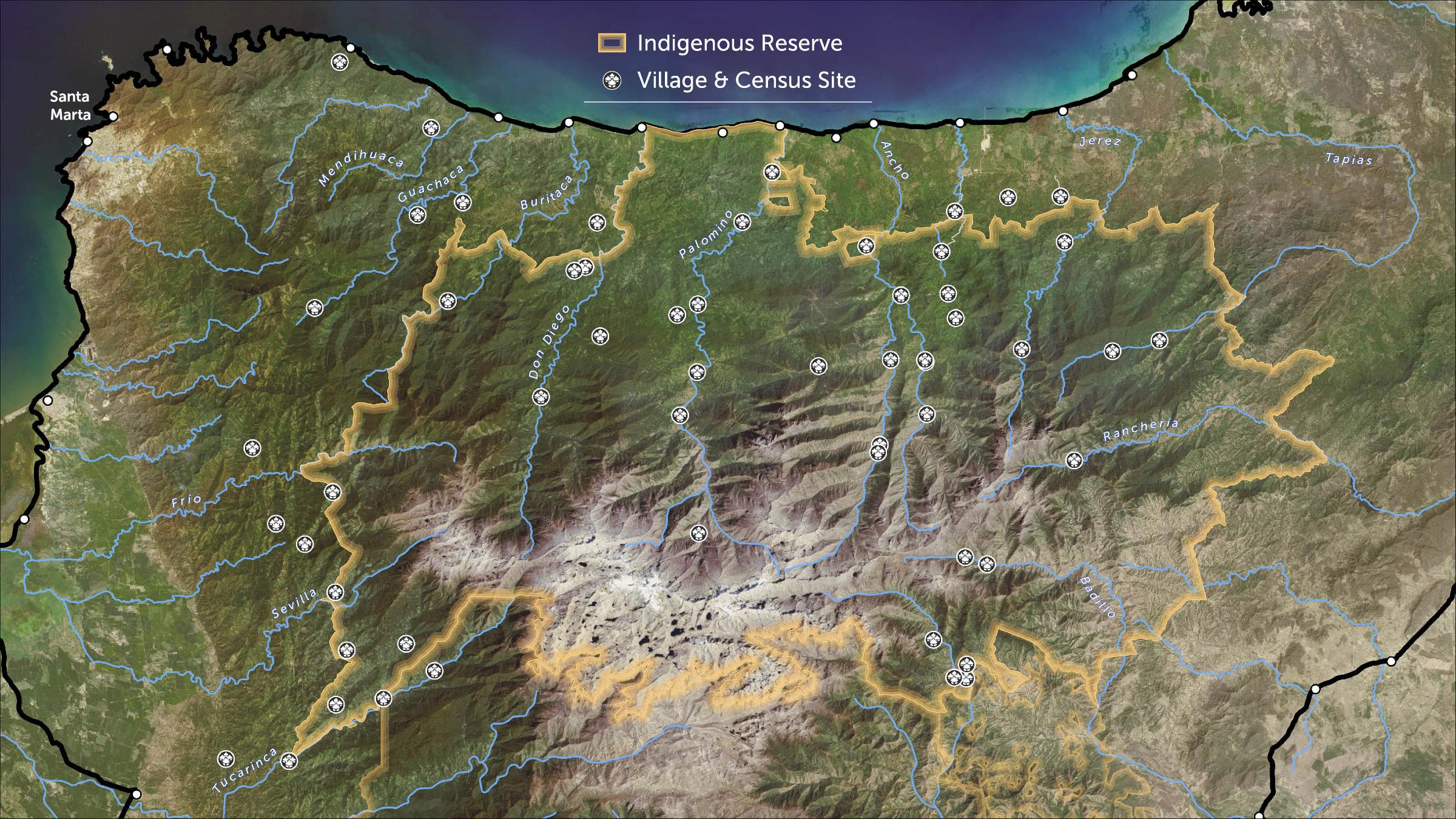
STRENGTHENING INDIGENOUS LAND RIGHTS IN COLOMBIA
Mapa 2019 - 2020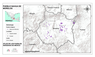
PUEBLO NAHUA DE MORELOS
Mapa 2020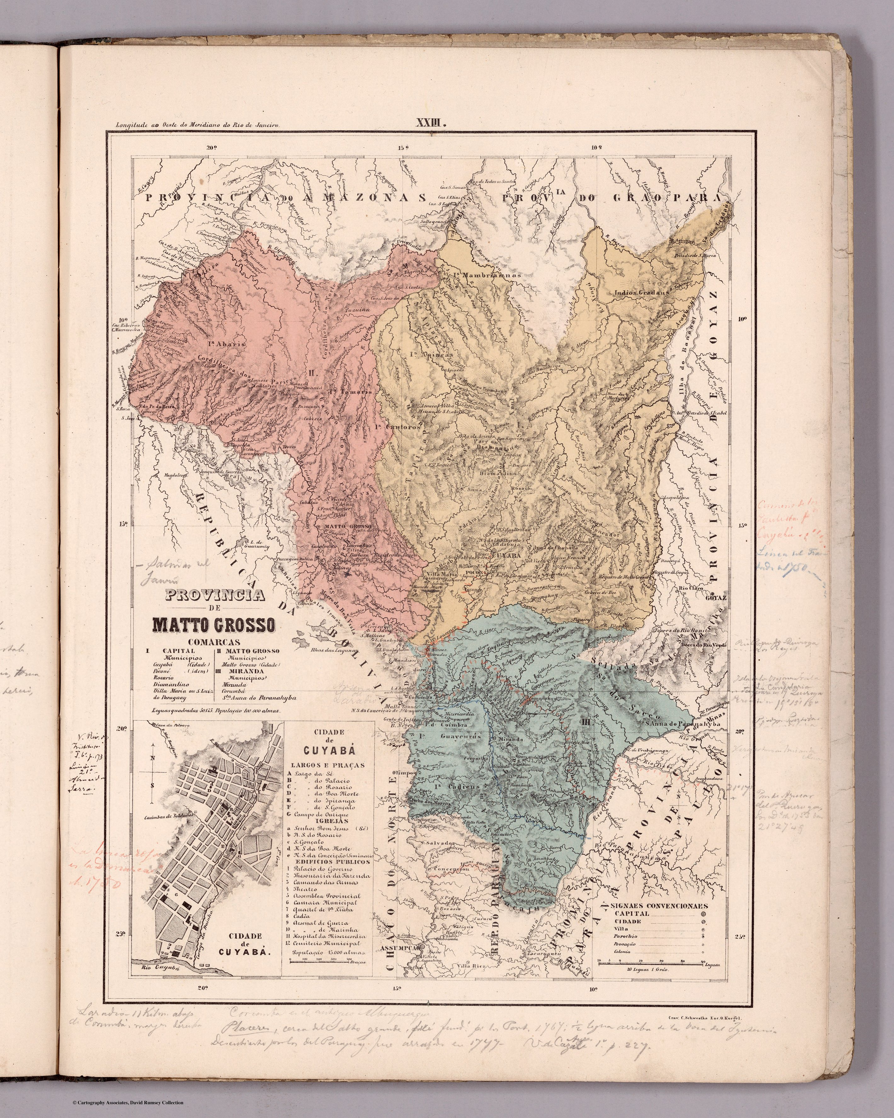
PROVINCIA DE MATTO GROSSO
Mapa 1800 - 1850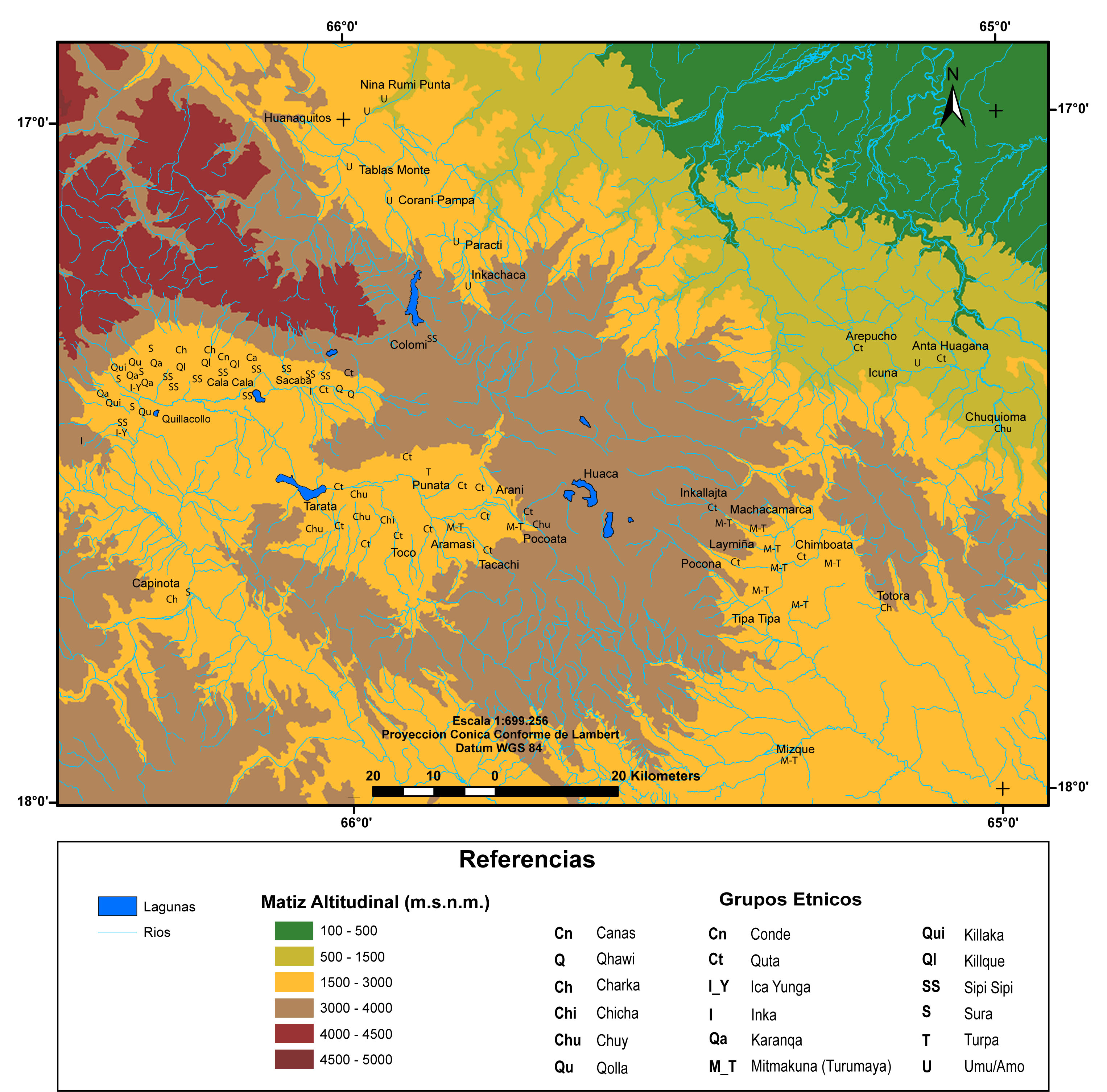
MULTI-ETHNIC TERRITORY under INCA DIRECT RULE: THE CENTRAL AND UPPER VALLEYS OF COCHABAMBA in the 1530s
Mapa 1520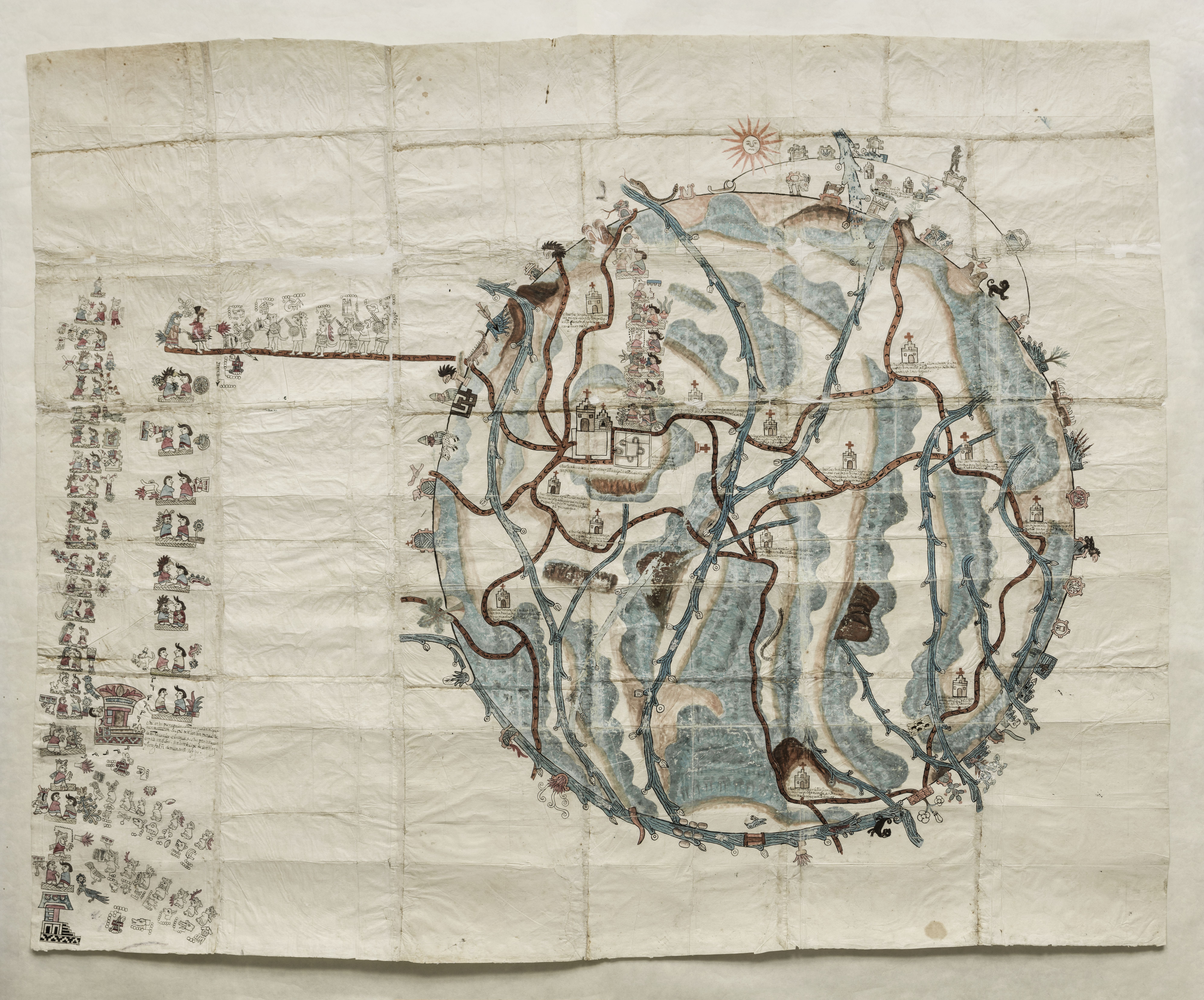
PINTURA DE TEOZACOALCO
Mapa 1500 - 1599