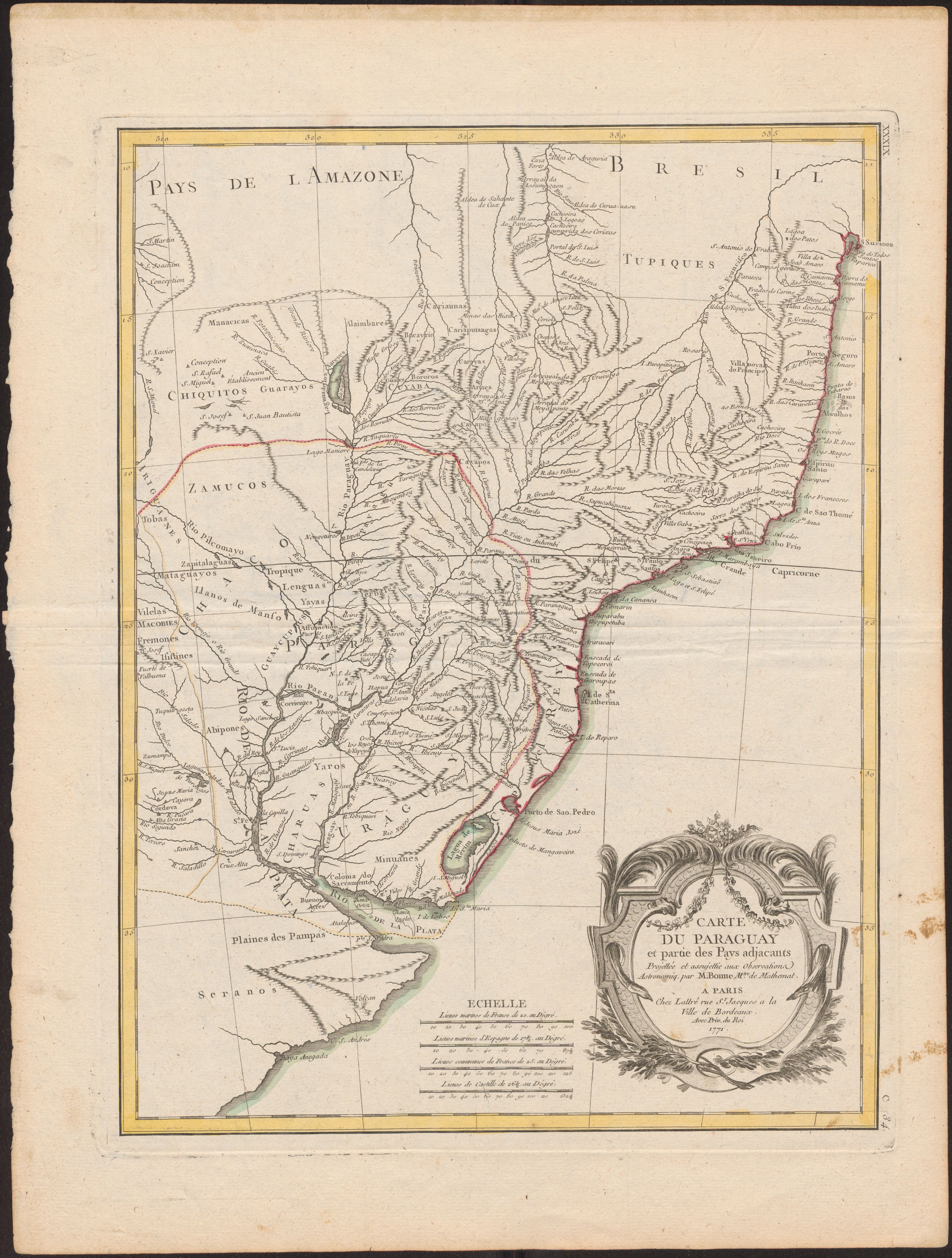
Dispossesions in the Americas

Dispossesions in the Americas

  • Inicio
  • Explorar
  • Autores
  • Sobre
  • Arte
  • Cuerpos
  • Planes de Estudio
  • Herencia Cultural
  • Mapas
  • Territorios
Volver a Explorar

Leyendo en Inglés

Mapa 1771

Carte Du Paraguay et partie des Pays adjacants

  • BONNE, RIGOBERT

Publicado: 1700-1770

  • Descargar Imágen
  • Descargar Imágen
Mapa 1771

Carte Du Paraguay et partie des Pays adjacants

  • BONNE, RIGOBERT

Publicado: 1700-1770

  • Descargar Imágen

Pueblos

  • TUPIQUES
  • CHIQUITOS
  • ZAMUCOS
  • LENGUAS
  • YAYAS
  • ALAIMBARES
  • CARIAUNAS
  • CARIAPUTANGAS
  • CAYAPOS
  • ARAES
  • GUARAYS
  • CARAYAS
  • GUAYAZAS
  • TOBAS
  • CHIRIGUANES
  • VILELAS
  • MOCOBIES
  • FRENTONES
  • ISISTINES
  • ABIPONES
  • GUAYCURUE
  • YAROS
  • MINUANE
  • CHARRUAS
  • YERBALES
  • SERRANOS

Cita

BONNE, RIGOBERT. Carte Du Paraguay et partie des Pays adjacants. Map. Paris, France: Lattré [et Delalain], 1771. Accessed July 9, 2023. https://digital.iai.spk-berlin.de/viewer/image/630107955/1/LOG_0000/

  • Descargar Imágen

Leyendo en Portugués

Mapa 1771

Carte Du Paraguay et partie des Pays adjacants

  • BONNE, RIGOBERT

Publicado: 1700-1770

  • Descargar Imágen

Pueblos

  • TUPIQUES
  • CHIQUITOS
  • ZAMUCOS
  • LENGUAS
  • YAYAS
  • ALAIMBARES
  • CARIAUNAS
  • CARIAPUTANGAS
  • CAYAPOS
  • ARAES
  • GUARAYS
  • CARAYAS
  • GUAYAZAS
  • TOBAS
  • CHIRIGUANES
  • VILELAS
  • MOCOBIES
  • FRENTONES
  • ISISTINES
  • ABIPONES
  • GUAYCURUE
  • YAROS
  • MINUANE
  • CHARRUAS
  • YERBALES
  • SERRANOS

Cita

BONNE, RIGOBERT. Carte Du Paraguay et partie des Pays adjacants. Map. Paris, France: Lattré [et Delalain], 1771. Accessed July 9, 2023. https://digital.iai.spk-berlin.de/viewer/image/630107955/1/LOG_0000/

  • Descargar Imágen

Artículos Relacionados

Amazonía

Amazonía

Obra de Arte
PUEBLO TLAPANECO

PUEBLO TLAPANECO

Mapa 2020
REGIÓN MONTANA DE GUERRERO

REGIÓN MONTANA DE GUERRERO

Mapa 2000
Map of the Inca Empire

Map of the Inca Empire

Mapa 1490 - 1499
Chinantla Subregions

Chinantla Subregions

Mapa 1969
MAPA DE SAN DIEGO XOCOYUCAN

MAPA DE SAN DIEGO XOCOYUCAN

Mapa 1500 - 1599
PROVINCIA DO GRAO PARÁ

PROVINCIA DO GRAO PARÁ

Mapa 1800 - 1850
PROVINCIE DELLO SPIRITO SANTO E DI PORTO SICURO

PROVINCIE DELLO SPIRITO SANTO E DI PORTO SICURO

Mapa 1600 - 1699

Despojos en las Américas

Un Proyecto de

University of Pennsylvania

Copyright 2024

Con el apoyo de

Mellon Foundation

Diseño y Desarrollo del Sitio

Element 84

Créditos Artísticos

BONNE, RIGOBERT. Carte Du Paraguay et partie des Pays adjacants. Map. Paris, France: Lattré [et Delalain], 1771. Accessed July 9, 2023. https://digital.iai.spk-berlin.de/viewer/image/630107955/1/LOG_0000/

Páginas del Sitio

  • Inicio
  • Explorar
  • Autores
  • Sobre
  • Arte
  • Cuerpos
  • Planes de Estudio
  • Herencia Cultural
  • Mapas
  • Territorios