Pueblos
- GUARANI
Cita
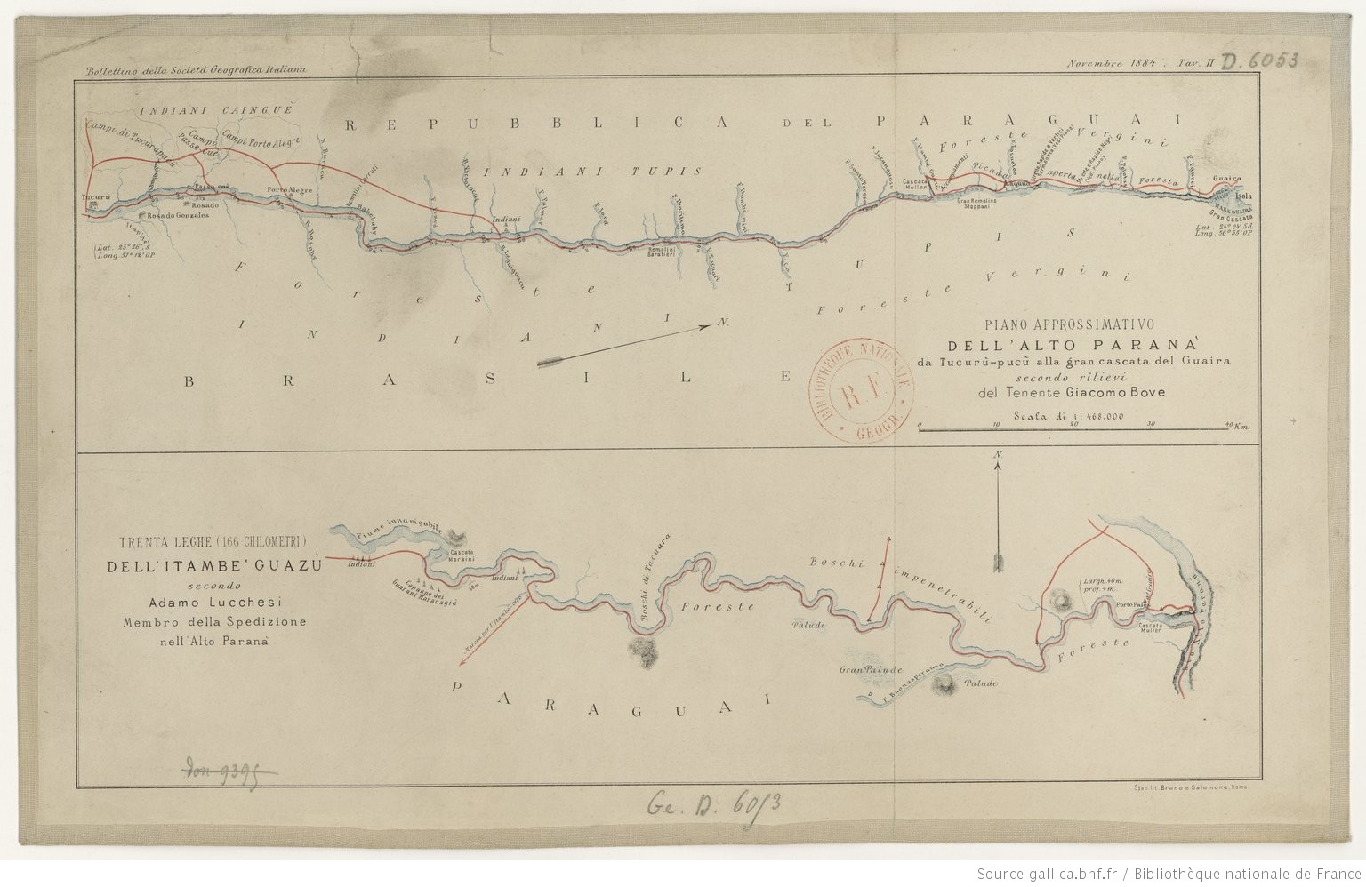
Lucchesi, Adamo. Trenta Leghe (166 chilometri) Dell' Itambe' Guazù. Map (Bottom). Rome: Bruno e Salomone, 1884. Accessed May 7, 2023. https://gallica.bnf.fr/ark:/12148/btv1b84449935#.
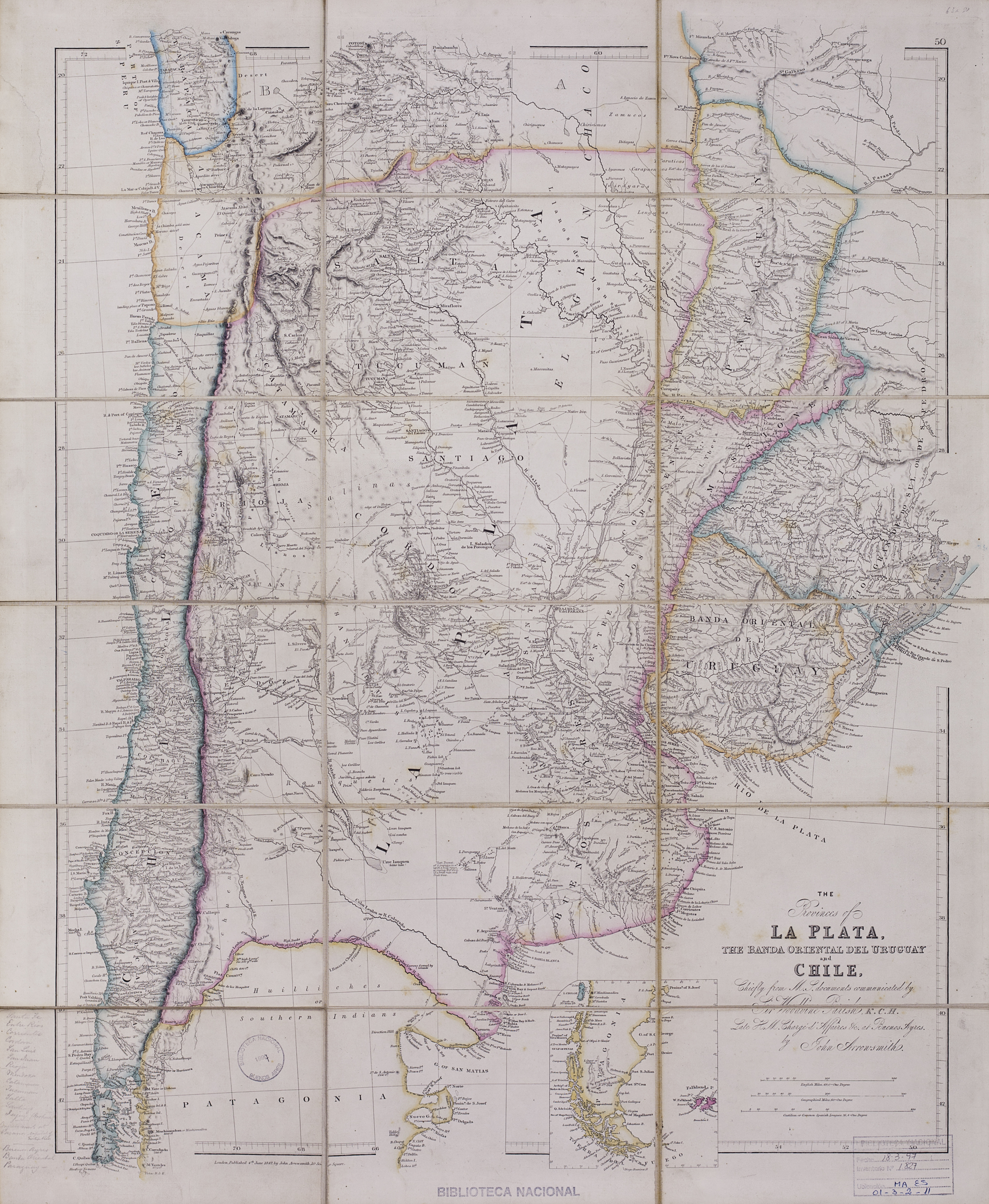
The provinces of La Plata, the Banda Oriental del Uruguay and Chile.
Mapa 1842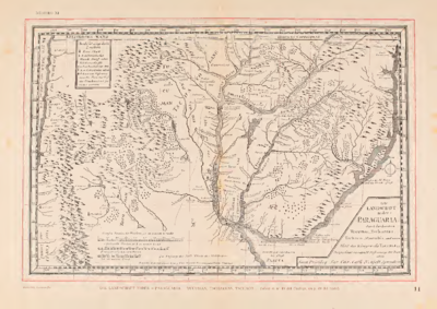
Die LANDSCHAFT nider = Paraguaria
Mapa 1728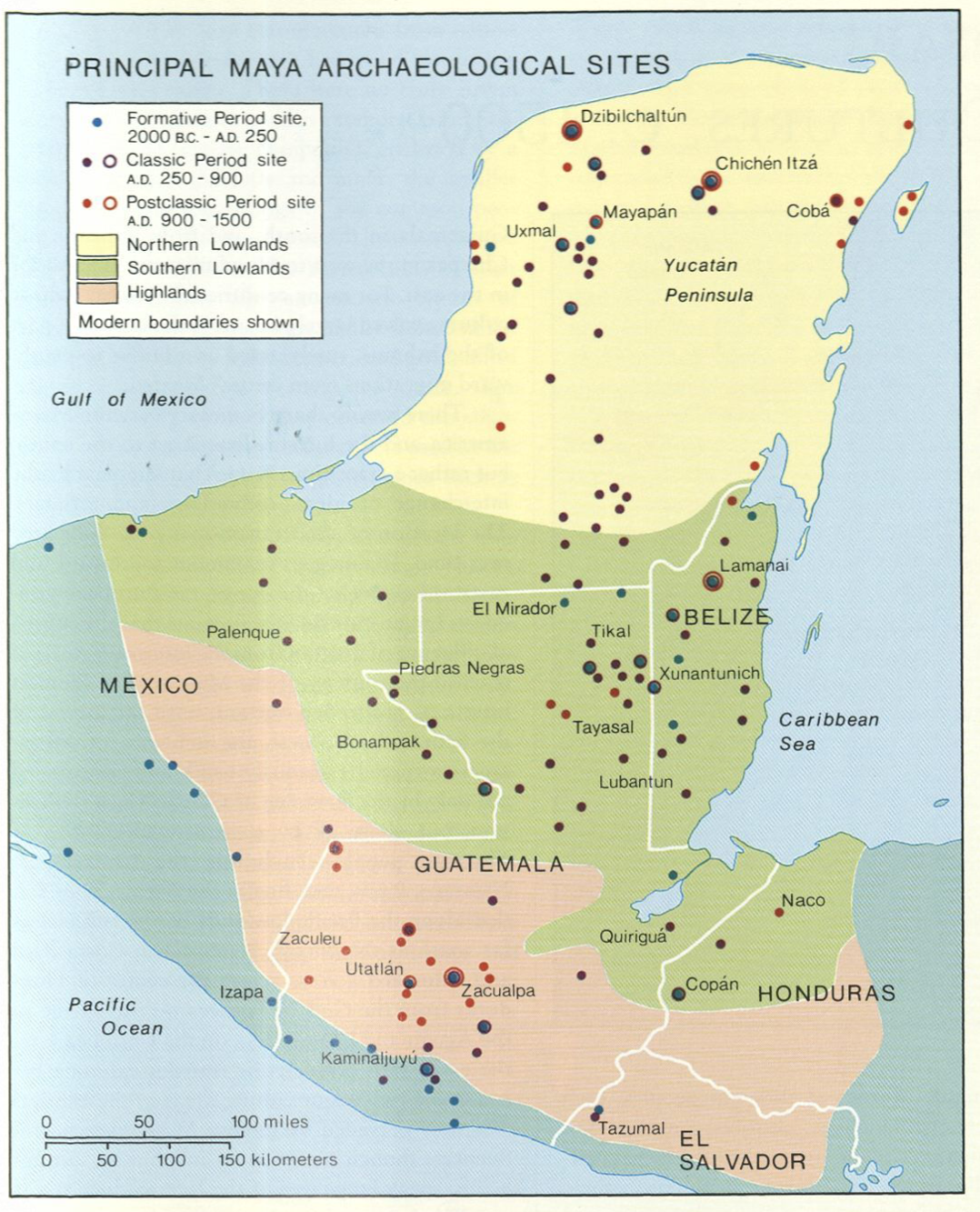
Principal Maya Archaeological Sites
Mapa 1490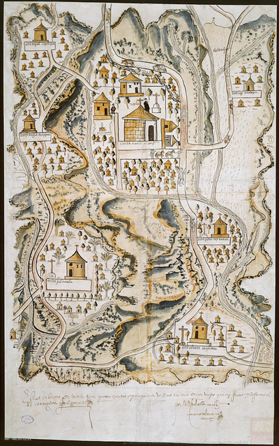
PUEBLO DE TETELA, PERTENECIENTE A LA CORONA, EN EL DISTRITO DE LA AUDIENCIA DE MÉXICO
Mapa 1581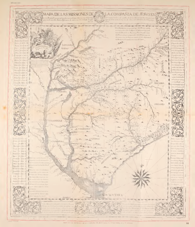
MAPA DE LAS MISSIONES DE LA COMPANIA DE JESVS EN
Mapa 1749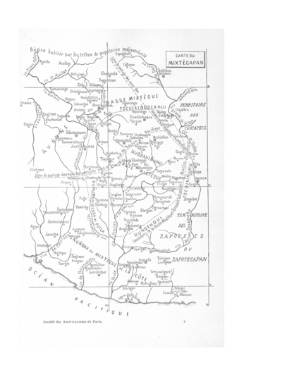
CARTE DU MIXTECAPAN
Mapa 1906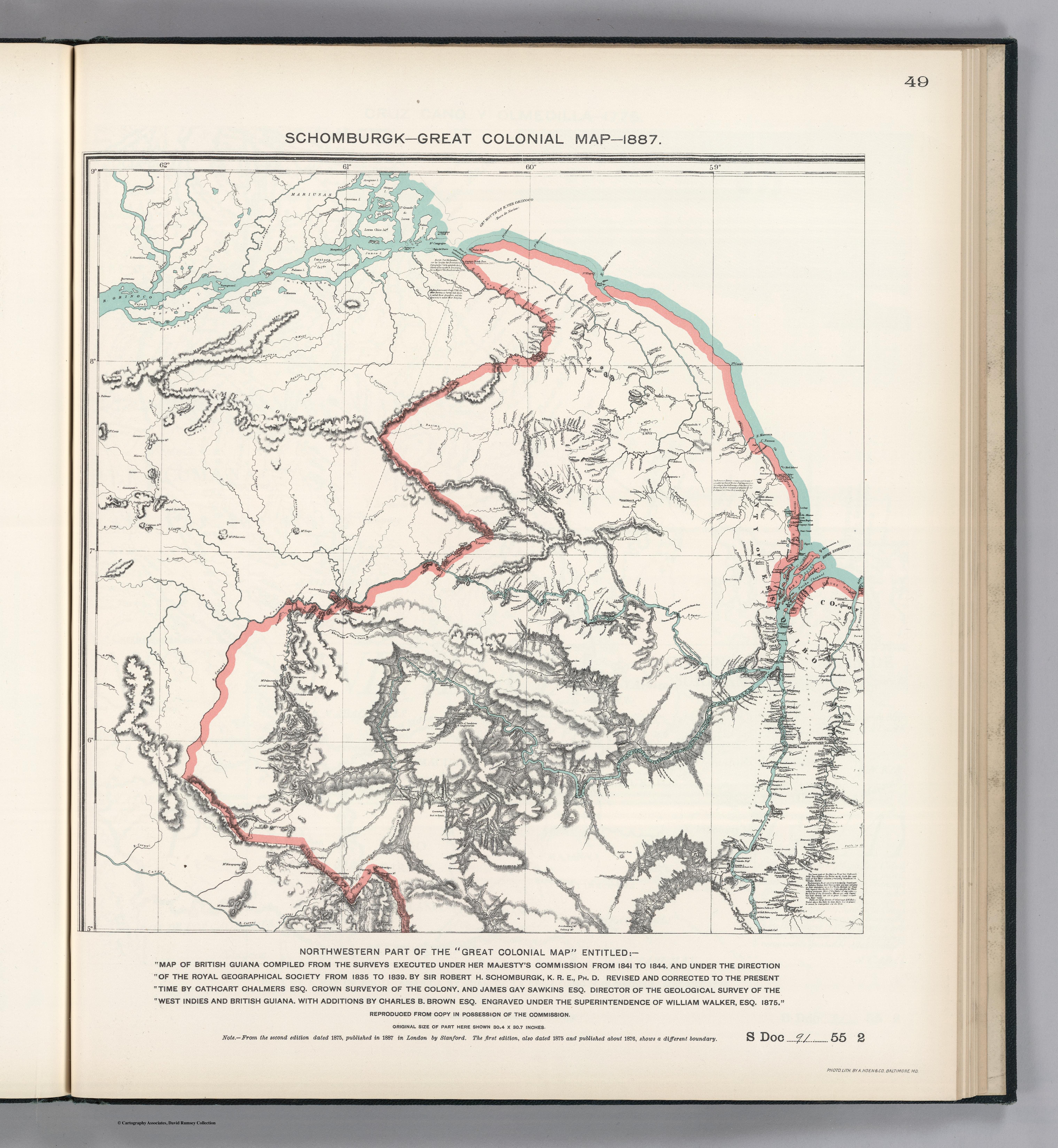
NORTHWEST PART OF THE "GREAT COLONIAL MAP"
Mapa 1875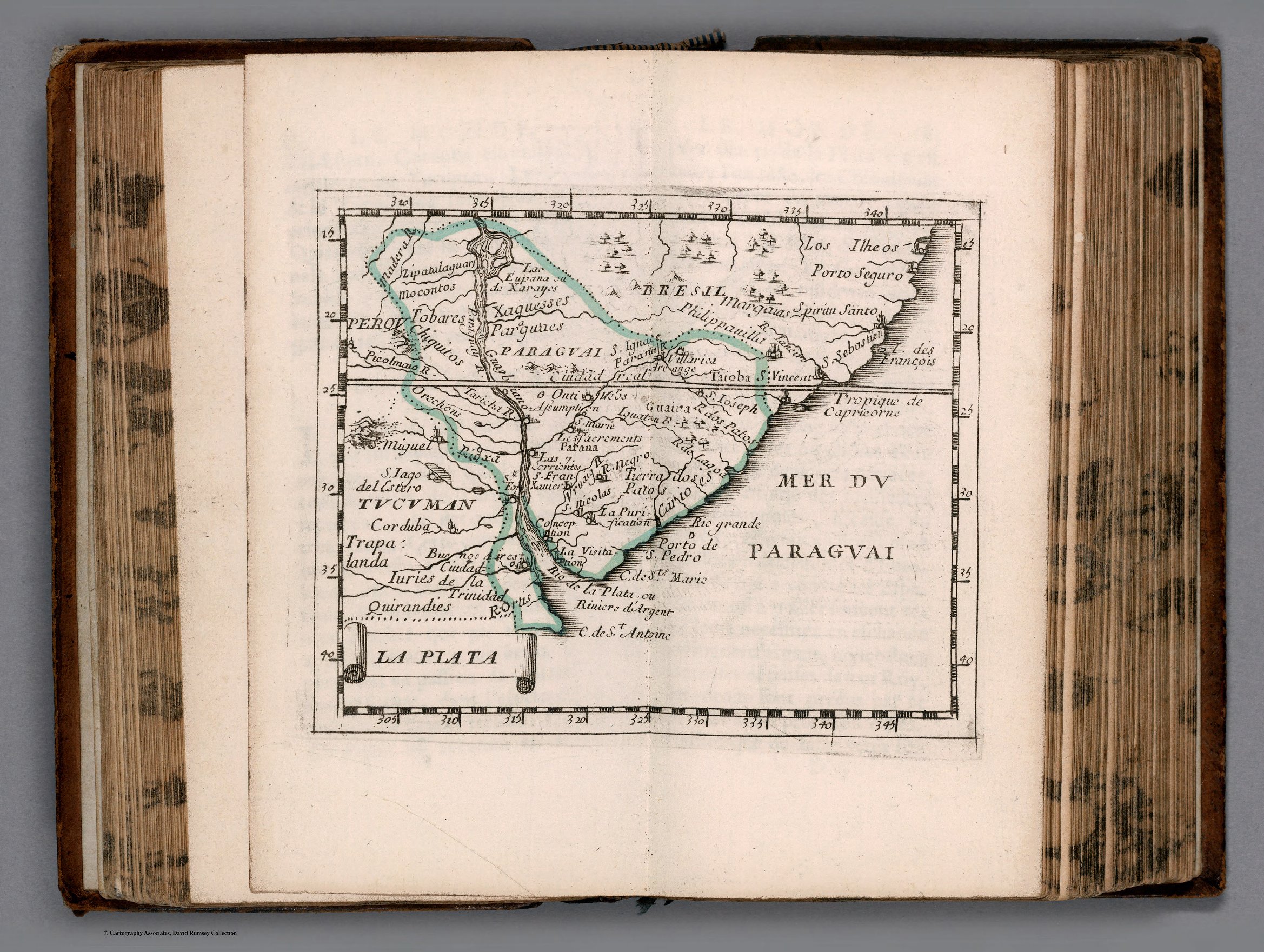
LA PLATA
Mapa 1658