Dispossesions in the Americas

Dispossesions in the Americas

  • Inicio
  • Explorar
  • Autores
  • Sobre
  • Arte
  • Cuerpos
  • Planes de Estudio
  • Herencia Cultural
  • Mapas
  • Territorios
Volver a Explorar

Leyendo en Inglés

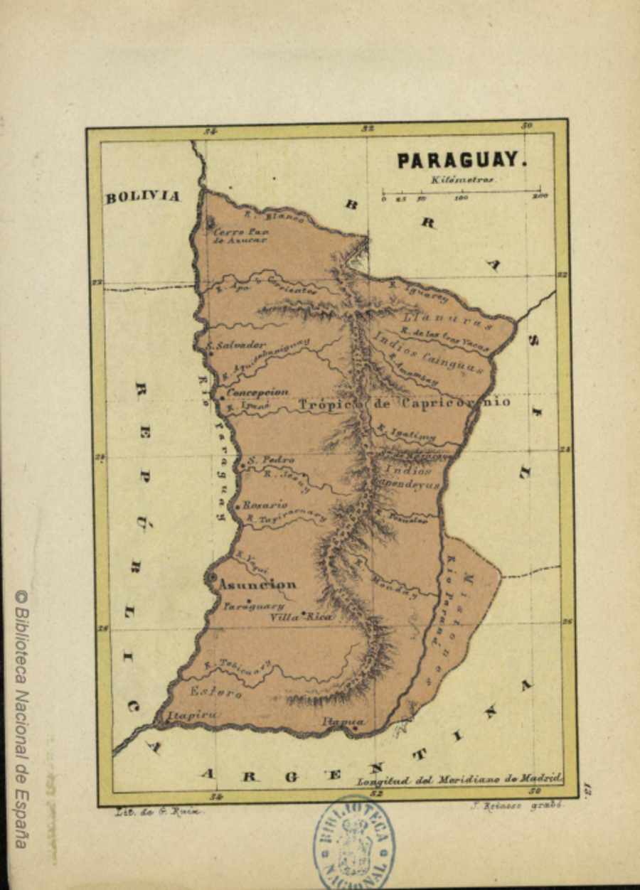
Mapa 1878

PARAGUAY

  • REINOSO, JOSE

Publicado: 1878

  • Descargar Imágen
  • Descargar Imágen
Mapa 1878

PARAGUAY

  • REINOSO, JOSE

Publicado: 1878

  • Descargar Imágen

Pueblos

  • PAI TAVYTERA
  • CANENDUYU

Citas

Reinoso, José. "Paraguay." Map. In América, 61. Vol. 3 of Atlas Universal de Geografía Moderna para uso de los niños. Madrid: Librería de Hernando, 1878. Accessed May 3, 2023. http://bdh.bne.es/bnesearch/detalle/bdh0000001445.
  • Descargar Imágen

Artículos Relacionados

Outside Threats to Maya Lands

Outside Threats to Maya Lands

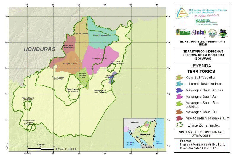
Mapa 1997
Pueblos Indígenas;Áreas Protegidas de Nicaragua

Pueblos Indígenas;Áreas Protegidas de Nicaragua

Mapa 2000
A draught of the country near Blewfields Bluff on the Mosquito Shore

A draught of the country near Blewfields Bluff on the Mosquito Shore

Mapa 1757
Paraguariæ Provinciæ soc. jesu cum adiacentibg. novissima descriptio : post iteratas peregrinationes & plures observationes patrum missionariorum eiusdem soc. tum huius provinciæ;cum & Peruanæ accuratissime delineata & emendata ann. 1732

Paraguariæ Provinciæ soc. jesu cum adiacentibg. novissima descriptio : post iteratas peregrinationes & plures observationes patrum missionariorum eiusdem soc. tum huius provinciæ;cum & Peruanæ accuratissime delineata & emendata ann. 1732

Mapa 1732
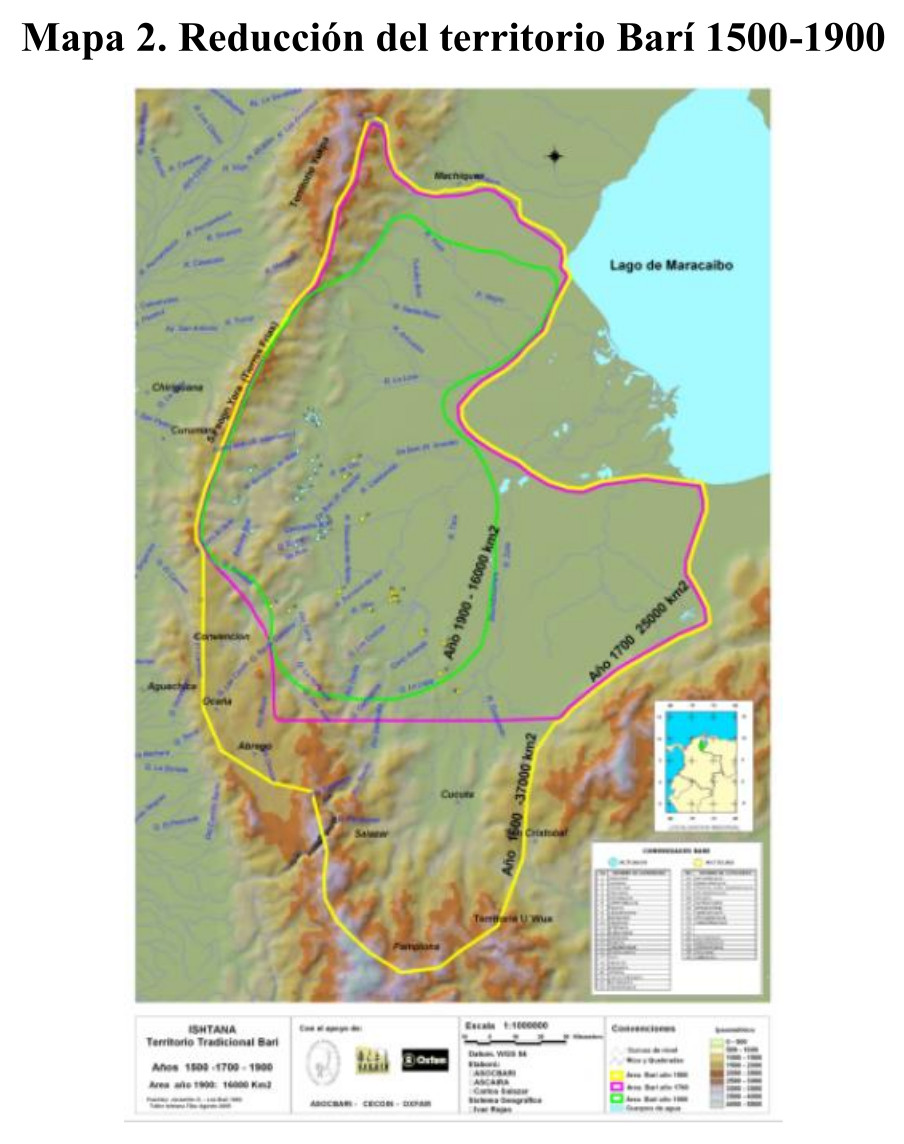
ATLAS de VENEZUELA ESTADO ZULIA

ATLAS de VENEZUELA ESTADO ZULIA

Mapa 1916
Indigenous provinces in El Salvador around 1500. (Adapted from Fowler 1989140-141, figure 5, with additional information from Lehman 1920:719, with modifications by the author.)

Indigenous provinces in El Salvador around 1500. (Adapted from Fowler 1989140-141, figure 5, with additional information from Lehman 1920:719, with modifications by the author.)

Mapa 1500
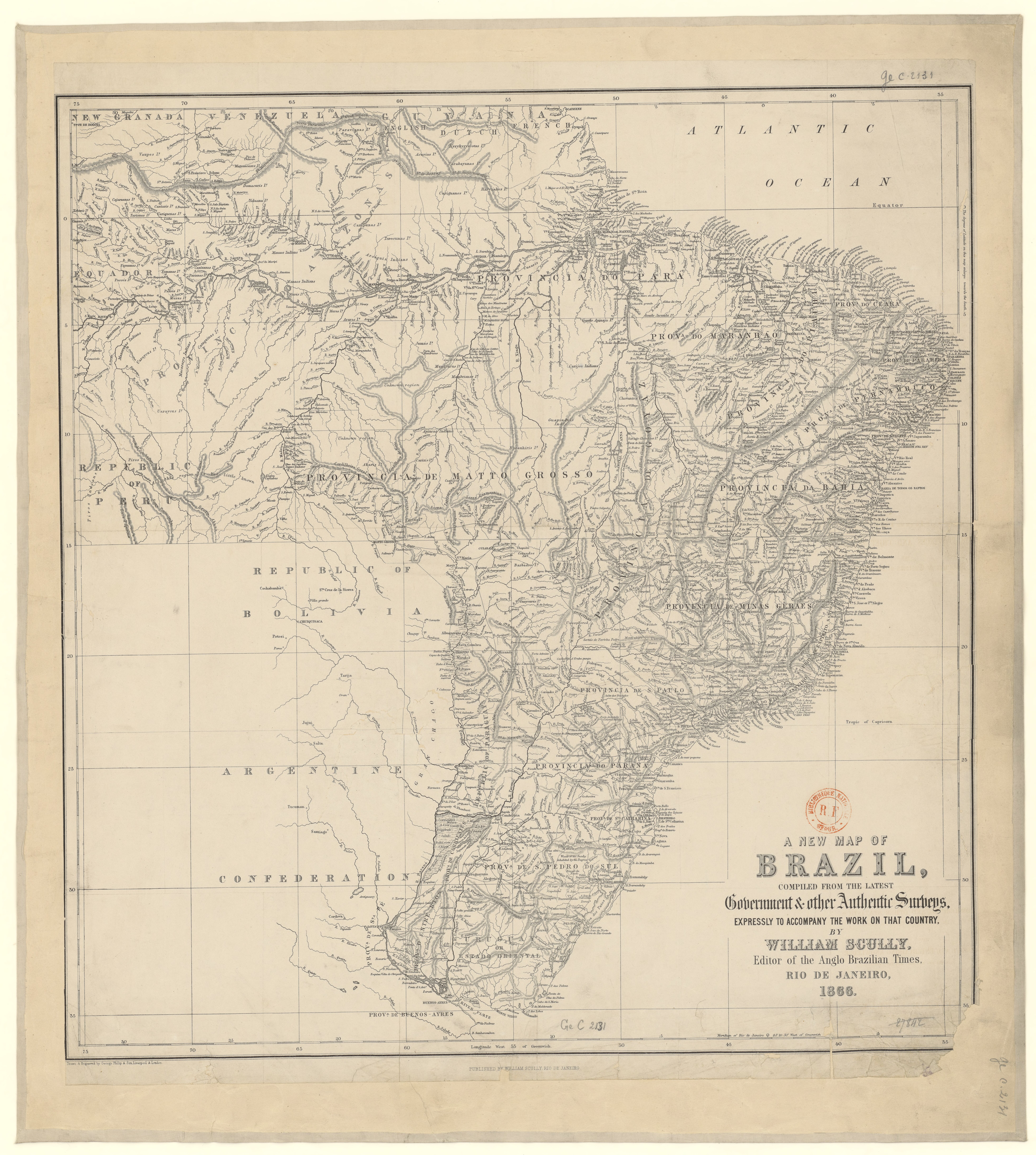
Partie de la Colombie et du Bresil. Amer. Merid. no. 9. (Dresse par Ph. Vandermaelen;lithographie par H. Ode. Cinquieme partie - Amer. merid. Bruxelles. 1827)

Partie de la Colombie et du Bresil. Amer. Merid. no. 9. (Dresse par Ph. Vandermaelen;lithographie par H. Ode. Cinquieme partie - Amer. merid. Bruxelles. 1827)

Mapa 1827
MAP 4. DISTRIBUTION OF ETHNIC GROUPS IN THE ORIENTE ON THE EVE OF SPANISH CONQUEST

MAP 4. DISTRIBUTION OF ETHNIC GROUPS IN THE ORIENTE ON THE EVE OF SPANISH CONQUEST

Mapa 1535

Despojos en las Américas

Un Proyecto de

University of Pennsylvania

Copyright 2024

Con el apoyo de

Mellon Foundation

Diseño y Desarrollo del Sitio

Element 84

Créditos Artísticos

Reinoso, José. “Paraguay.” Map. In América, 61. Vol. 3 of Atlas Universal de Geografía Moderna para uso de los niños. Madrid: Librería de Hernando, 1878. Accessed May 3, 2023. http://bdh.bne.es/bnesearch/detalle/bdh0000001445.
Páginas del Sitio

  • Inicio
  • Explorar
  • Autores
  • Sobre
  • Arte
  • Cuerpos
  • Planes de Estudio
  • Herencia Cultural
  • Mapas
  • Territorios