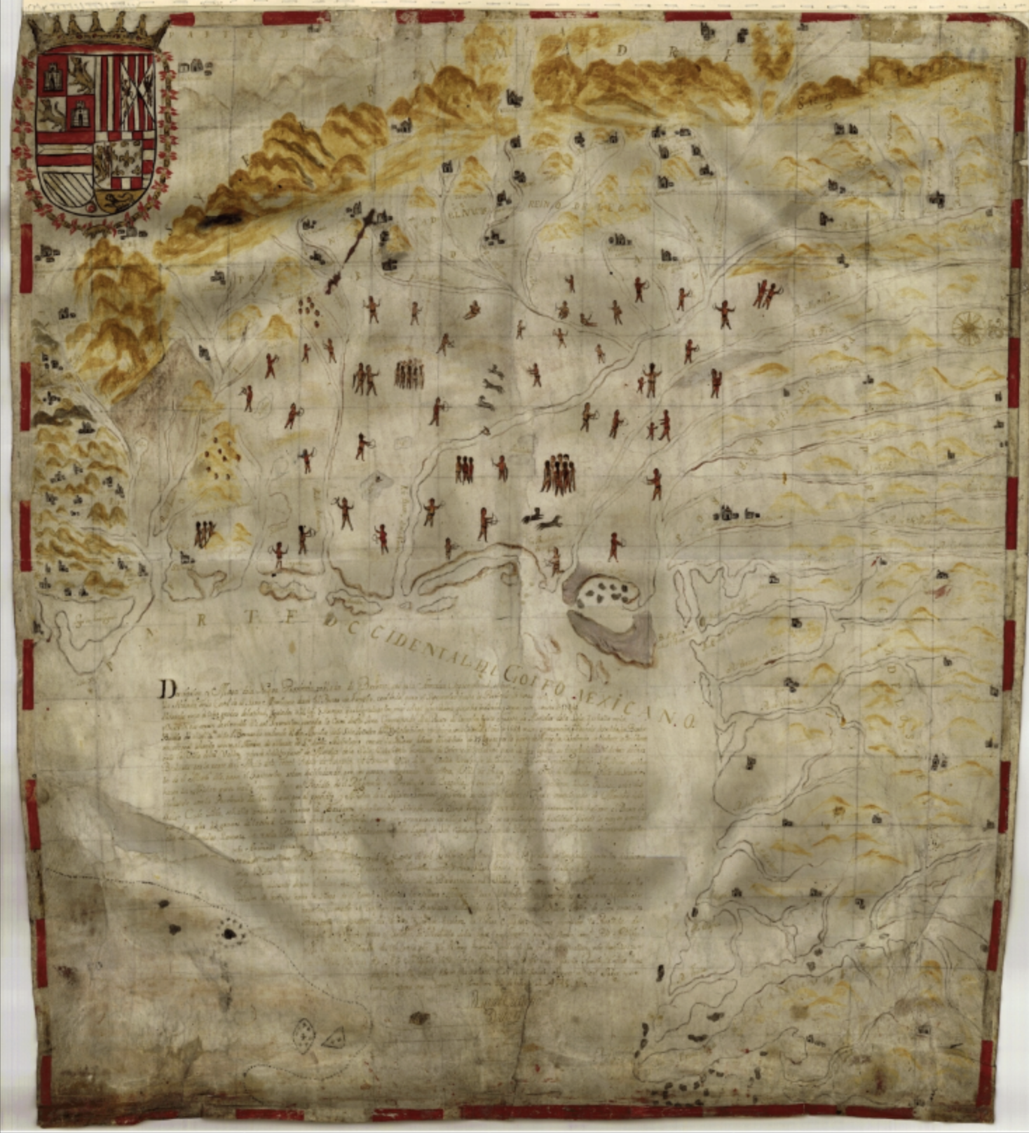
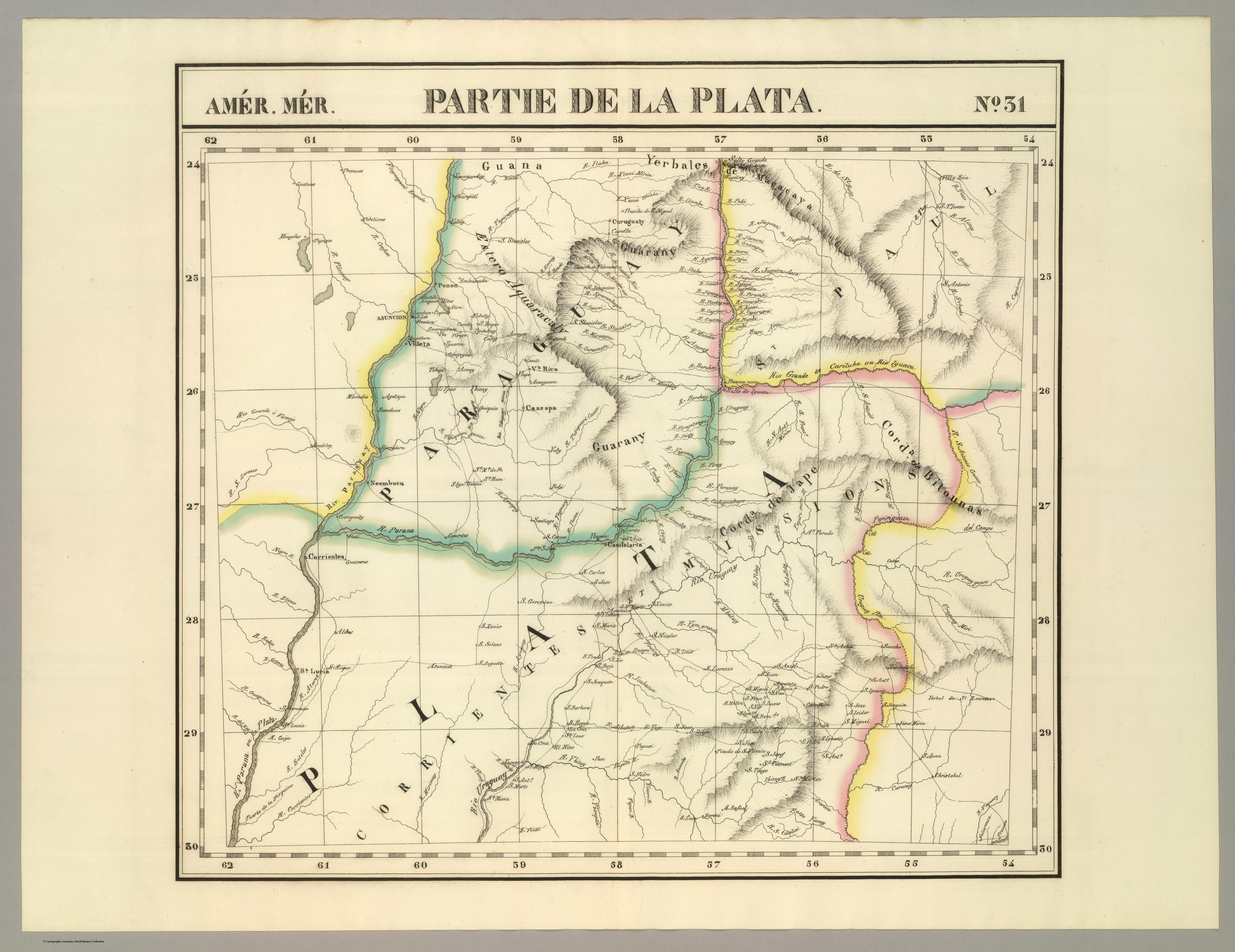
Dispossesions in the Americas

Dispossesions in the Americas

  • Inicio
  • Explorar
  • Autores
  • Sobre
  • Arte
  • Cuerpos
  • Planes de Estudio
  • Herencia Cultural
  • Mapas
  • Territorios
Volver a Explorar

Leyendo en Inglés

Mapa 1825

AMER. MÈR. PARTIE DE LA PLATA. N. 31.

  • VANDERMAELEN, PHILIPPE

Publicado: 1827

  • Descargar Imágen
  • Descargar Imágen
Mapa 1825

AMER. MÈR. PARTIE DE LA PLATA. N. 31.

  • VANDERMAELEN, PHILIPPE

Publicado: 1827

  • Descargar Imágen

Pueblos

  • GUANA
  • GUARANI

Cita

Vandermaelen, Philippe. Partie, la Plata. Amer. Merid. 31. Map. Bruxelles: Ph. Vandermaelen, 1827. Accessed April 23, 2023. https://www.davidrumsey.com/luna/servlet/detail/RUMSEY~8~1~25265~5500125:Partie,-la-Plata--Amer--Merid--26-?sort=pub_list_no_initialsort%2Cpub_date%2Cpub_list_no%2Cseries_no#.

  • Descargar Imágen

Leyendo en Portugués

Mapa 1825

AMER. MÈR. PARTIE DE LA PLATA. N. 31.

  • VANDERMAELEN, PHILIPPE

Publicado: 1827

  • Descargar Imágen

Pueblos

  • GUANA
  • GUARANI

Cita

Vandermaelen, Philippe. Partie, la Plata. Amer. Merid. 31. Map. Bruxelles: Ph. Vandermaelen, 1827. Accessed April 23, 2023. https://www.davidrumsey.com/luna/servlet/detail/RUMSEY~8~1~25265~5500125:Partie,-la-Plata--Amer--Merid--26-?sort=pub_list_no_initialsort%2Cpub_date%2Cpub_list_no%2Cseries_no#.

  • Descargar Imágen

Artículos Relacionados

Theories of Migration (Minuanes).

Theories of Migration (Minuanes).

Mapa 1680 - 1805
Native languages of the Yuman region

Native languages of the Yuman region

Mapa 2015
America noviter delineata

America noviter delineata

Mapa 1600 - 1699
RETAL IXIMULEW Mapa Lingüístico de Guatemala Idiomas mayas, xinka y garífuna

RETAL IXIMULEW Mapa Lingüístico de Guatemala Idiomas mayas, xinka y garífuna

Mapa 1994
El manifiesto PrEP

El manifiesto PrEP

Obra de Arte
MAPA DE LA NUEVA PROVINCIA POBLADA DE BARBAROS, SITUADA EN LA COSTA DEL SENO MEXICANO, DESDE EL PUERTO DE TAMPICO HASTA LA PROVINCIA DE TEXAS

MAPA DE LA NUEVA PROVINCIA POBLADA DE BARBAROS, SITUADA EN LA COSTA DEL SENO MEXICANO, DESDE EL PUERTO DE TAMPICO HASTA LA PROVINCIA DE TEXAS

Mapa 1744
Ubicación geográfica del pueblo texistepequeño

Ubicación geográfica del pueblo texistepequeño

Mapa 2018
Mapa de las tierras indígenas - Situación legal

Mapa de las tierras indígenas - Situación legal

Mapa 2017

Despojos en las Américas

Un Proyecto de

University of Pennsylvania

Copyright 2024

Con el apoyo de

Mellon Foundation

Diseño y Desarrollo del Sitio

Element 84

Créditos Artísticos

Vandermaelen, Philippe. Partie, la Plata. Amer. Merid. 31. Map. Bruxelles: Ph. Vandermaelen, 1827. Accessed April 23, 2023. https://www.davidrumsey.com/luna/servlet/detail/RUMSEY~8~1~25265~5500125:Partie,-la-Plata--Amer--Merid--26-?sort=pub_list_no_initialsort%2Cpub_date%2Cpub_list_no%2Cseries_no#.

Páginas del Sitio

  • Inicio
  • Explorar
  • Autores
  • Sobre
  • Arte
  • Cuerpos
  • Planes de Estudio
  • Herencia Cultural
  • Mapas
  • Territorios