Dispossesions in the Americas

Dispossesions in the Americas

  • Inicio
  • Explorar
  • Autores
  • Sobre
  • Arte
  • Cuerpos
  • Planes de Estudio
  • Herencia Cultural
  • Mapas
  • Territorios
Volver a Explorar

Leyendo en Inglés

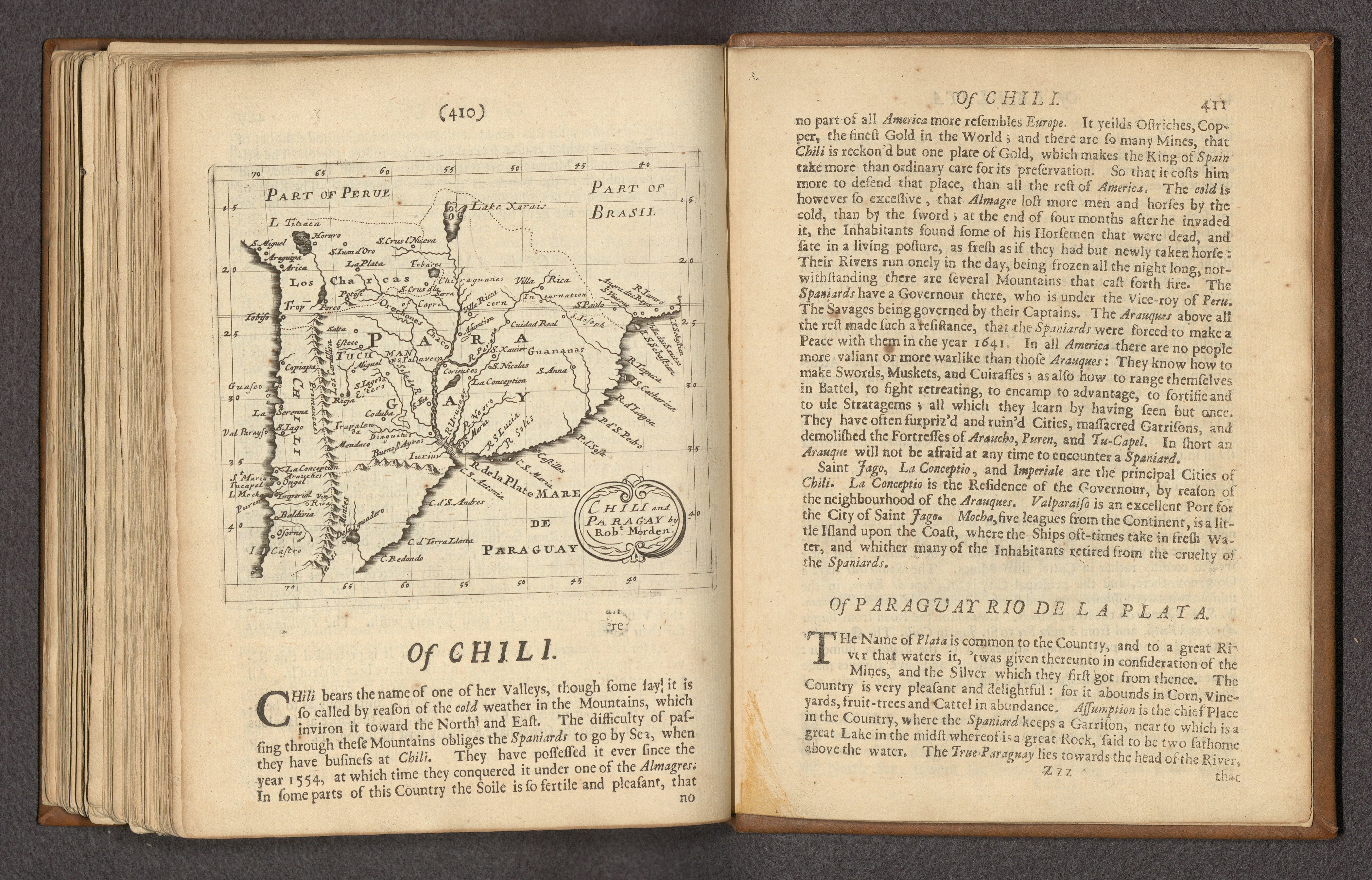
Mapa 1680

CHILI AND PARAGAY

  • MORDEN, ROBERT

Publicado: 1680

  • Descargar Imágen
  • Descargar Imágen
Mapa 1680

CHILI AND PARAGAY

  • MORDEN, ROBERT

Publicado: 1680

  • Descargar Imágen

Pueblos

  • TOBA
  • CHIRIGUANO
  • OREJONES
  • GUANANAS
  • DIAGUITA
  • ARACHANES

Citas

Morden, Robert. "Chili and Paragay." Map. In Foreign, 410. Vol. 2 of Geography rectified, or, A description of the world in all its kingdoms, provinces, countries, islands, cities, towns, seas, rivers, bayes, capes, ports : their ancient and present names, inhabitants, situations, histories, customs, governments, &c. : as also their commodities, coins, weights, and measures, compared with those at London. London: Atlas in Cornhill, 1680. Accessed April 23, 2023. https://www.davidrumsey.com/luna/servlet/detail/RUMSEY~8~1~335486~90103175:-Chile,-Paraguay,-Argentia--Text--O?sort=pub_list_no_initialsort%2Cpub_date%2Cpub_list_no%2Cseries_no.
  • Descargar Imágen

Artículos Relacionados

America noviter delineata

America noviter delineata

Mapa 1600 - 1699
Native languages of the Yuman region

Native languages of the Yuman region

Mapa 2015
LA PROVINCIA DE POTOSÍ EN EL ALTO PERÚ EN EL SIGLO XVII

LA PROVINCIA DE POTOSÍ EN EL ALTO PERÚ EN EL SIGLO XVII

Mapa 1600 - 1699
Cover-up of the Ponce de Leon statue at the Antorcha de la Amistad in Miami, Florida [Encubrimiento de la estatua de Ponce de León en la Antorcha de la Amistad en Miami, Florida]

Cover-up of the Ponce de Leon statue at the Antorcha de la Amistad in Miami, Florida [Encubrimiento de la estatua de Ponce de León en la Antorcha de la Amistad en Miami, Florida]

Obra de Arte
PARAGUAY

PARAGUAY

Mapa 1885
TERRITORIO DEL SEÑORÍO AYMARA DE LOS QARAQARA EN EL SIGLO XVI

TERRITORIO DEL SEÑORÍO AYMARA DE LOS QARAQARA EN EL SIGLO XVI

Mapa 1530
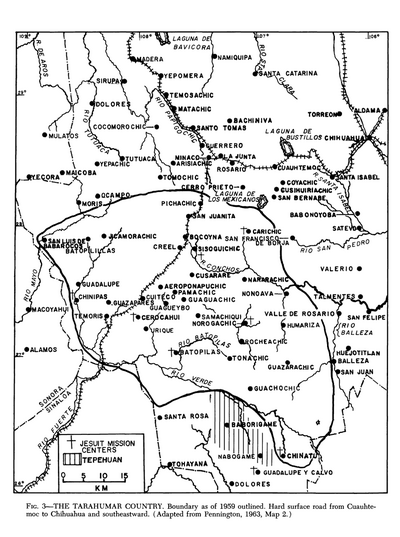
The Tarahumar Country, 1959

The Tarahumar Country, 1959

Mapa 1959
Mapa Del Pais Que Habitan Los Araucanos En Chile, De Poncho Chileno

Mapa Del Pais Que Habitan Los Araucanos En Chile, De Poncho Chileno

Mapa 1700 - 1800

Despojos en las Américas

Un Proyecto de

University of Pennsylvania

Copyright 2024

Con el apoyo de

Mellon Foundation

Diseño y Desarrollo del Sitio

Element 84

Créditos Artísticos

Morden, Robert. “Chili and Paragay.” Map. In Foreign, 410. Vol. 2 of Geography rectified, or, A description of the world in all its kingdoms, provinces, countries, islands, cities, towns, seas, rivers, bayes, capes, ports : their ancient and present names, inhabitants, situations, histories, customs, governments, &c. : as also their commodities, coins, weights, and measures, compared with those at London. London: Atlas in Cornhill, 1680. Accessed April 23, 2023. https://www.davidrumsey.com/luna/servlet/detail/RUMSEY~8~1~335486~90103175:-Chile,-Paraguay,-Argentia--Text--O?sort=pub_list_no_initialsort%2Cpub_date%2Cpub_list_no%2Cseries_no.
Páginas del Sitio

  • Inicio
  • Explorar
  • Autores
  • Sobre
  • Arte
  • Cuerpos
  • Planes de Estudio
  • Herencia Cultural
  • Mapas
  • Territorios