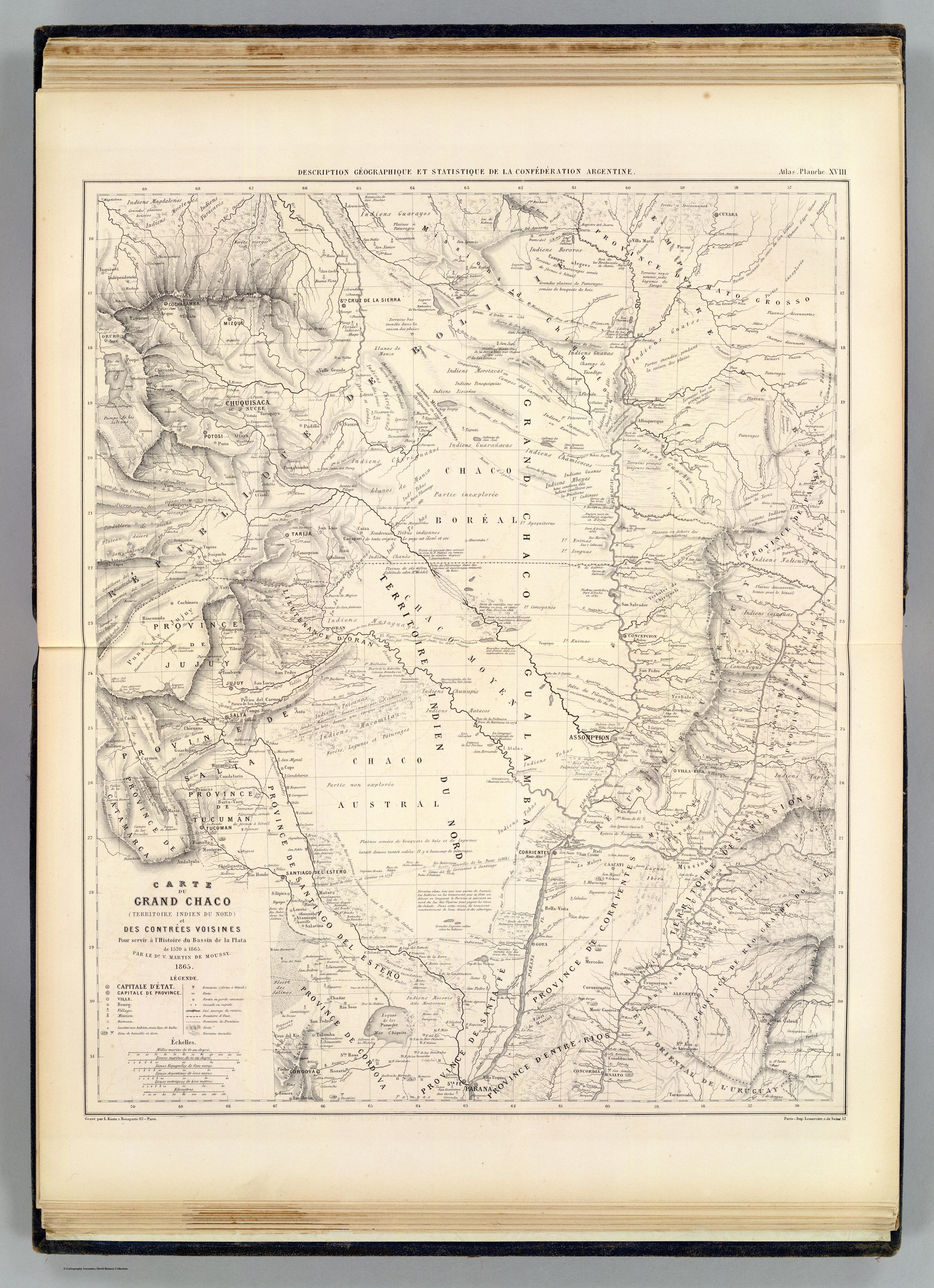
Dispossesions in the Americas

Dispossesions in the Americas

  • Inicio
  • Explorar
  • Autores
  • Sobre
  • Arte
  • Cuerpos
  • Planes de Estudio
  • Herencia Cultural
  • Mapas
  • Territorios
Volver a Explorar

Leyendo en Inglés

Mapa 1520

CARTE DU GRAND CHACO (TERRITOIRE INDIEN DU NORD) et DES CONTRÉES VOISINES

  • MARTIN DE MOUSSY, VICTOR

Publicado: 1865

  • Descargar Imágen
  • Descargar Imágen
Mapa 1520

CARTE DU GRAND CHACO (TERRITOIRE INDIEN DU NORD) et DES CONTRÉES VOISINES

  • MARTIN DE MOUSSY, VICTOR

Publicado: 1865

  • Descargar Imágen

Pueblos

  • GUARAYO
  • GUATOS
  • AYOREO
  • GUARANOCA
  • CHAMACOCOS
  • ZAMUCO
  • ENIMAGA
  • CHANE
  • GUANA
  • CHIRIGUANO
  • ITATINES
  • MBYA
  • GUAICURU
  • TOBA
  • LENGUA
  • NALICUEGAS
  • PAI TAVYTERA
  • MATACO
  • CHUNUPI
  • CANENDEYU
  • GUACHIS
  • CADIENOS
  • COMOYANES
  • PAISANAS
  • MALBALAS
  • TUPI
  • MOCOVIS
  • MOCETENES
  • YURACARES
  • BOROROS
  • CHIQUITOS
  • IZOZENOS
  • AYAQUITERAS
  • POTEROROS

Citas

Martin de Moussy, Victor. Carte du Grand Chaco et contrees voisines. Map. Paris: Firmin Didot Freres, 1865. Accessed April 18, 2023. https://www.davidrumsey.com/luna/servlet/detail/RUMSEY~8~1~20546~510072:Carte-du-Grand-Chaco-et-contrees-vo?sort=pub_list_no_initialsort%2Cpub_date%2Cpub_list_no%2Cseries_no#.

  • Descargar Imágen

Artículos Relacionados

FAMILIAS LINGUÍSTICAS Y LENGUAS INDÍGENAS. SEPTIMA REGION: SIERRA NEVADA DE SANTA MARTA

FAMILIAS LINGUÍSTICAS Y LENGUAS INDÍGENAS. SEPTIMA REGION: SIERRA NEVADA DE SANTA MARTA

Mapa 1989
Map of Honduras and San Salvador, Central America, Showing the line of the proposed Honduras Interoceanic Railway

Map of Honduras and San Salvador, Central America, Showing the line of the proposed Honduras Interoceanic Railway

Mapa 1854
PUEBLO KILIWA

PUEBLO KILIWA

Mapa 2020
PUEBLO ZOQUE

PUEBLO ZOQUE

Mapa 2020
Map of the RIVER AQUIRY (an Affluent of the Purûs)

Map of the RIVER AQUIRY (an Affluent of the Purûs)

Mapa 1800 - 1850
Distribución histórica de las poblaciones indígenas según la familia lingüística

Distribución histórica de las poblaciones indígenas según la familia lingüística

Mapa 1490
Las formas de propiedad y su registro: las tierras indígenas y recursos naturales

Las formas de propiedad y su registro: las tierras indígenas y recursos naturales

Mapa 2008
A Map of the Provinces Paraguay and Tucuman with the
     River Plate

A Map of the Provinces Paraguay and Tucuman with the River Plate

Mapa 1698

Despojos en las Américas

Un Proyecto de

University of Pennsylvania

Copyright 2024

Con el apoyo de

Mellon Foundation

Diseño y Desarrollo del Sitio

Element 84

Créditos Artísticos

Martin de Moussy, Victor. Carte du Grand Chaco et contrees voisines. Map. Paris: Firmin Didot Freres, 1865. Accessed April 18, 2023. https://www.davidrumsey.com/luna/servlet/detail/RUMSEY~8~1~20546~510072:Carte-du-Grand-Chaco-et-contrees-vo?sort=pub_list_no_initialsort%2Cpub_date%2Cpub_list_no%2Cseries_no#.

Páginas del Sitio

  • Inicio
  • Explorar
  • Autores
  • Sobre
  • Arte
  • Cuerpos
  • Planes de Estudio
  • Herencia Cultural
  • Mapas
  • Territorios