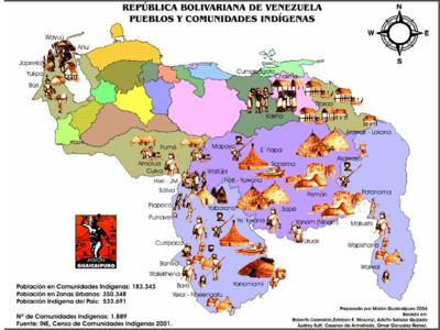
Pueblos
- PAYAGUA
Cita
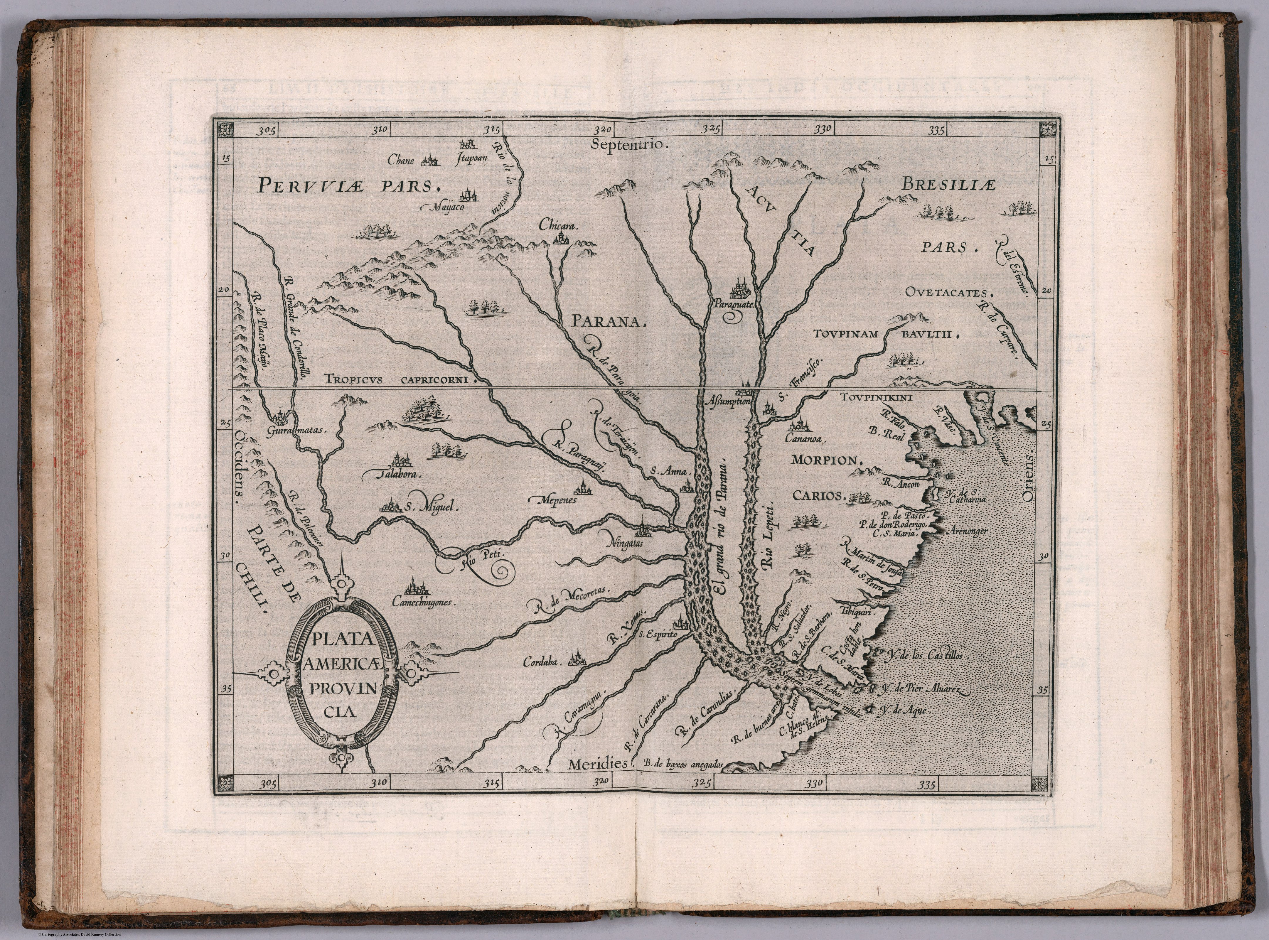
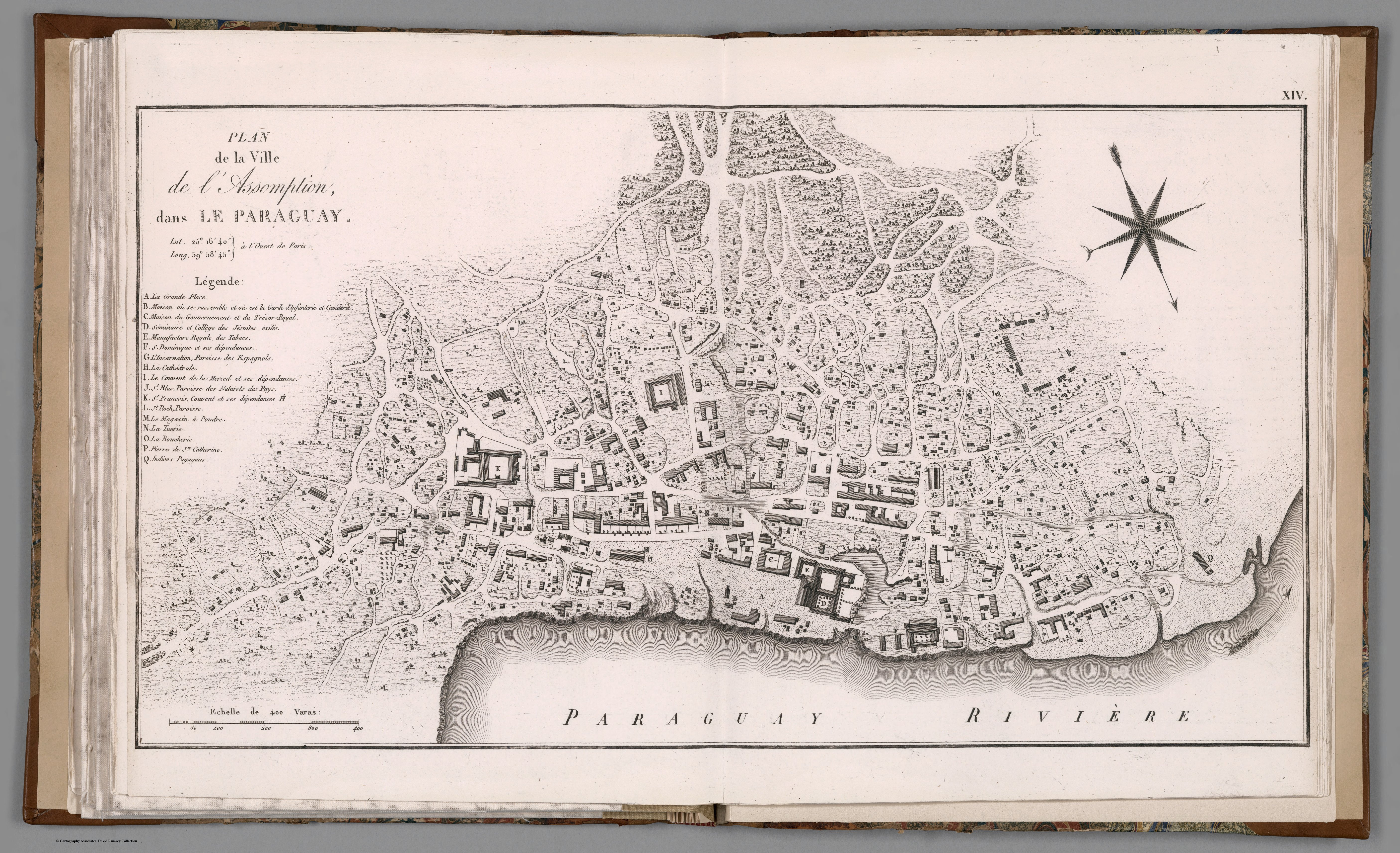
Azara, Felix de. Plan de la ville de l'Assomption dans le Paraguay. Map. Paris: Dentu, 1809. Accessed April 18, 2023. https://www.davidrumsey.com/luna/servlet/detail/RUMSEY~8~1~321469~90090555:XIV--Plan-de-la-ville-de-l-Assompti?sort=pub_list_no_initialsort%2Cpub_date%2Cpub_list_no%2Cseries_no#.