Pueblos
- MBYA
Cita
Zanardini, José, and Walter Biedermann. Los Indígenas Del Paraguay. 2nd ed. Asunción: ITAIPU Binacional, 2006.
Plano del valle del río de San Miguel, desde sus fuentes hasta San Francisco de Chamacuero
Mapa 1580
Map of the basin of La Plata : based upon the results of the expedition under the command of Thos. J. Page;U.S. Navy;in the years 1853;-'54;-'55;& 56 and of the adjacent countries
Mapa 1853 - 1856
South America: From the latest Discoveries, Shewing the Spanish and Portuguese Settlements, according to Mr. D'Anville.
Mapa 1771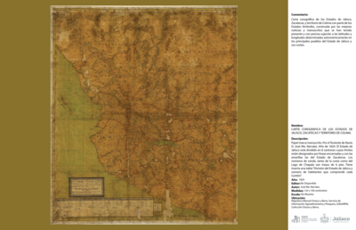
CARTA COROGRÁFICA DE JALISCO, ZACATECAS Y COLIMA
Mapa 1824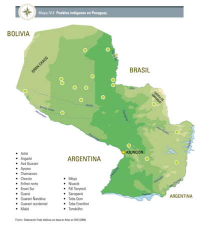
Pueblos Indígenas en Paraguay
Mapa 2009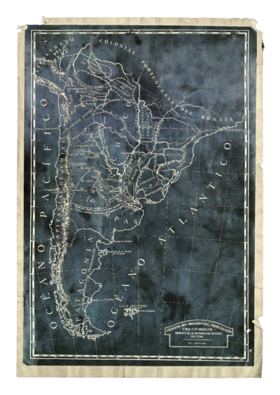
Esquema del virreinato del Río de la Plata y sus Intendencias después de la separación de Puno
Mapa 1796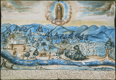
VISTA DE LA NUEVA POBLACION DE SAN FERNANDO DE GUADALUPE EN EL SALTO DE AGUA DEL RIO TULIJA, QUE LLEVA SU CORRIENTE A LAS LAGUNAS DE CHICHICASTE Y DE TÉRMINOS
Mapa 1795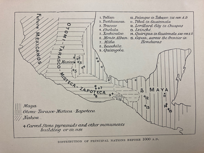
DISTRIBUTION OF PRINCIPAL NATIONS BEFORE 1000 AD
Mapa 1000