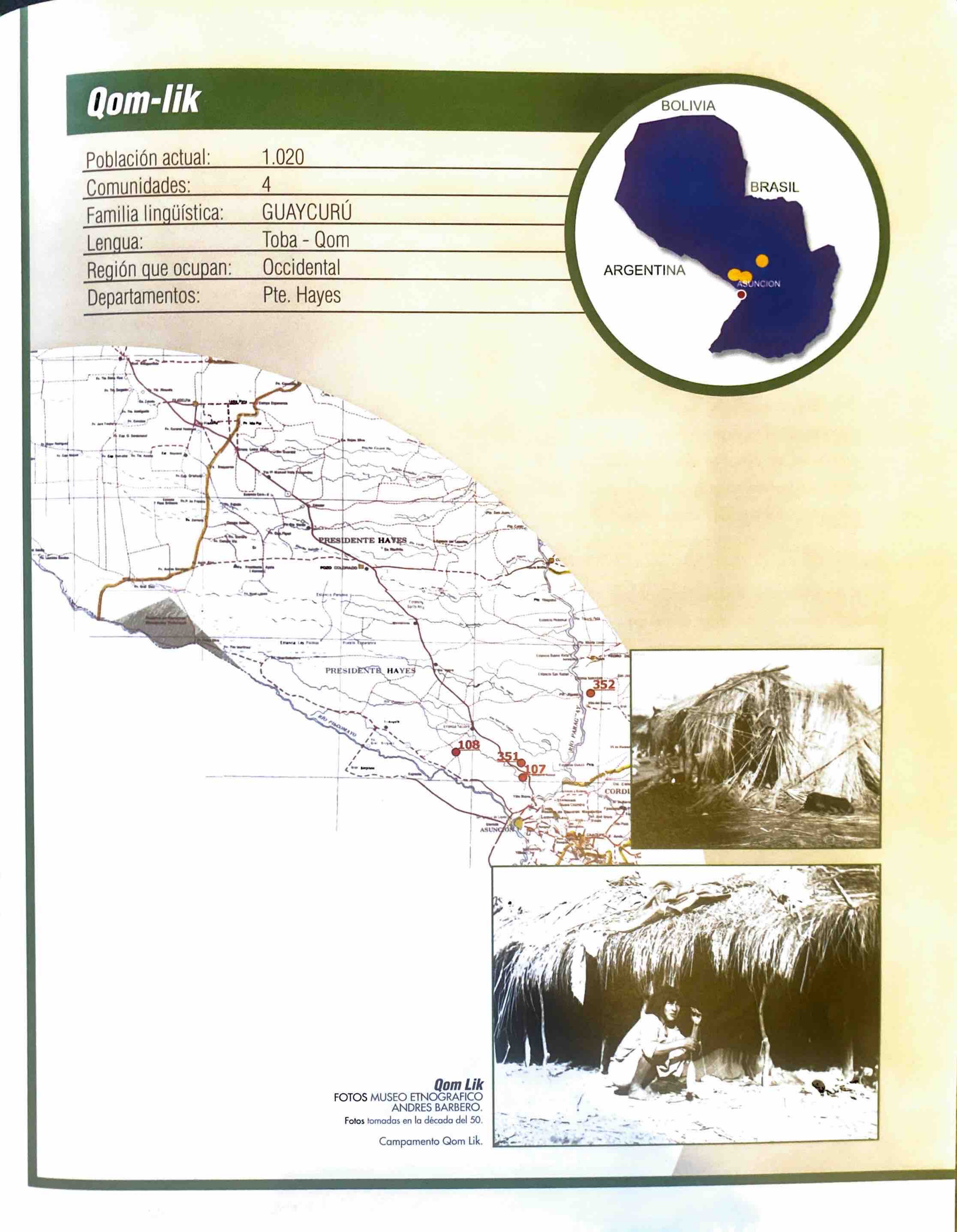
Pueblos
- QOM
Cita
Zanardini, José, and Walter Biedermann. Los Indígenas Del Paraguay. 2nd ed. Asunción: ITAIPU Binacional, 2006.
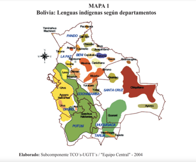
Lenguas indígenas según departamentos
Mapa 2004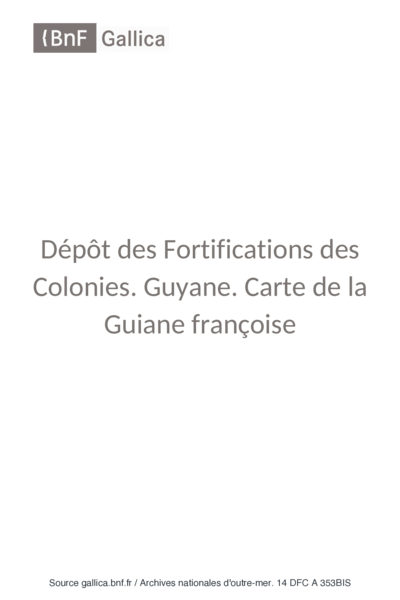
Carte de la Guiane française dressée à Cayenne par ordre du Gouvernement, dans la construction de laquelle, employant tous les matériaux géographiques qui se troucent actuellement au dépôt des Cartes et Plans de la Colonie, après les avoir assujétis à plusieurs observations astronomiques.
Mapa 1782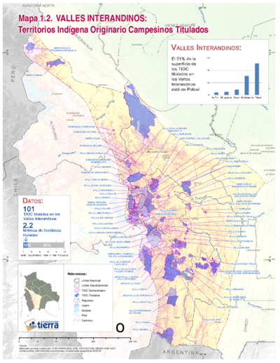
TITLED INDIGENOUS TERRITORIES (TIOCs) IN THE BOLIVIAN INTER-ANDEAN VALLEYS BY 2011
Mapa 2011
ACTUAL TERRITORIO NUKAK
Mapa 1978
MAPA ETNO-HISTÓRICO DO BRASIL E REGIÕES ADJACENTES
Mapa 1400 - 1944
Fig. 1 Map of the Guianas with schematic locations of the indigenous groups relevant to our study, based on the linguistic map of South America (http://www.muturzikin.com/cartesamerique/ 7.htm). Carib-speaking groups are indicated in yellow, Arawak-speaking groups in blue, Tupi-speaking Wayãpi in pink and the Warao-speaking group in green
Mapa 2000 - 2024
ARCHEOLOGICAL MAP OF MIDDLE AMERICA
Mapa 1968![Kowkülen [Ser líquido]](https://dnet8ble6lm7w.cloudfront.net/art_sm/AECU003.png)
Kowkülen [Ser líquido]
Obra de Arte