Pueblos
- INDIANS
Cita
Hacke, W., & Morden, R. (Cartographers). (1688). A draft of the Golden and adjacent islands [Map]. Gallica. https://gallica.bnf.fr/ark:/12148/btv1b5970838s/f1.item.r=Panama.zoom
FACSIMILE: NORTHERN PORTION OF SOUTH AMERICA
Mapa 1703
"Territorio Indígena Salitre (Bribri)"
Mapa 2010
Plano de la Yntendencia del Cuzco. Hecho de orden del Exmo. Sor. Virrey Fr. Franco. Gil y Lemos, año de 1792
Mapa 1792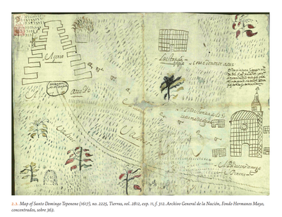
MAP OF SANTO DOMINGO TEPENENE
Mapa 1617
Colección de diferentes versiones del Perú Jaguar, Perú Otorongo y los “perucitos”
Obra de Arte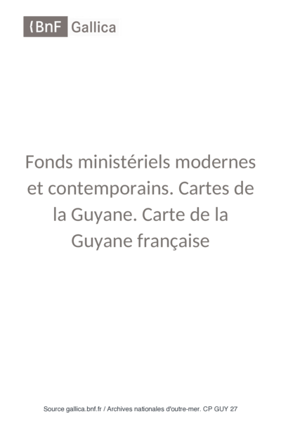
Cartes de la Guyane. Carte de la Guyane Drançaise. Dressée sur l'ordre de M.e M. E. Picanon Gouverneur.
Mapa 1907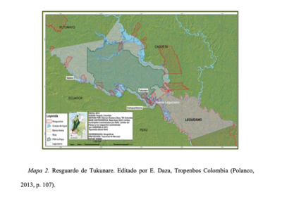
RESGUARDO DE TUKUNARE
Mapa 2012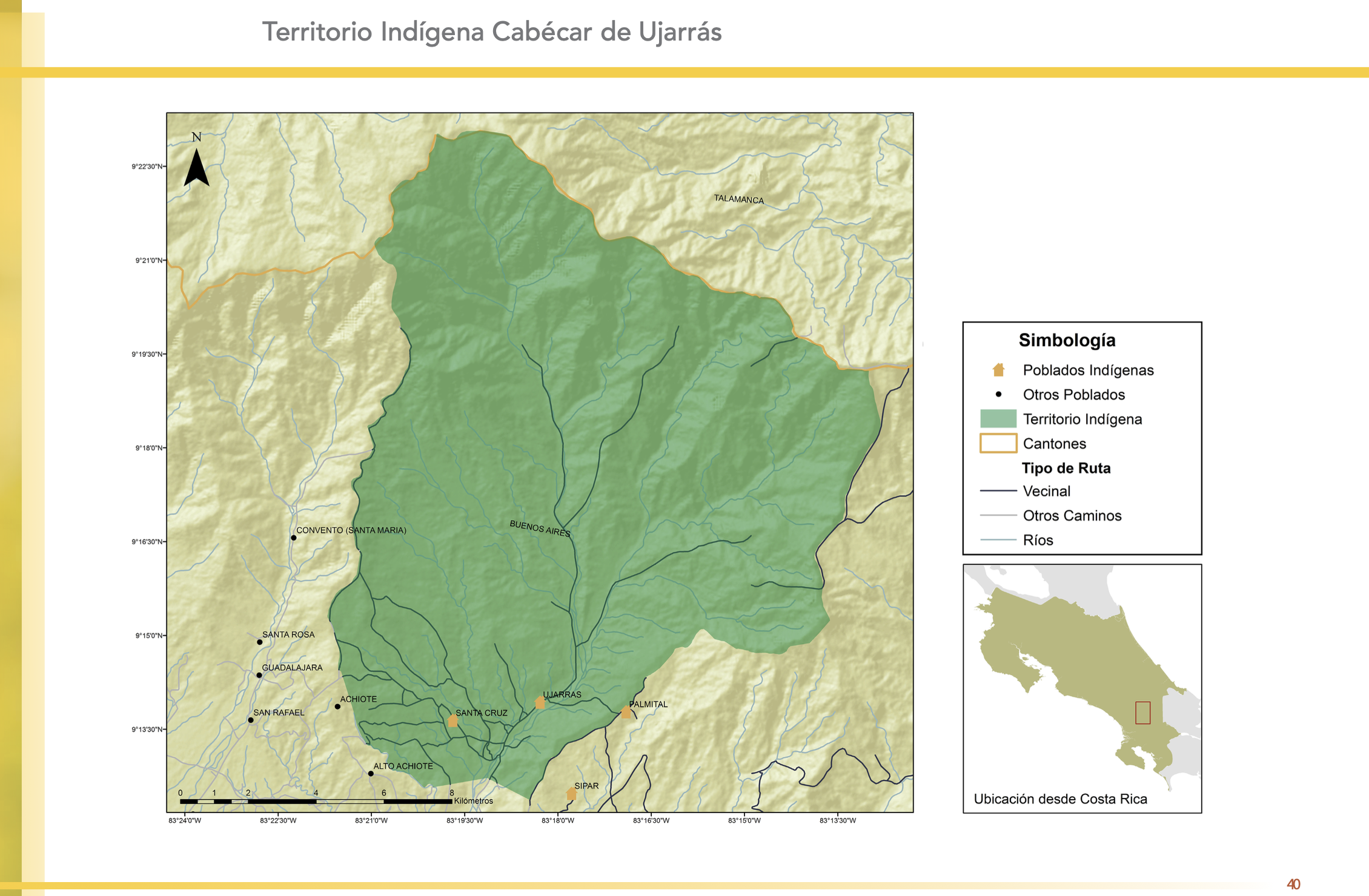
"Territorio Indígena Cabécar de Ujarrás"
Mapa 2010