Pueblos
- MOSQUITOS
Cita
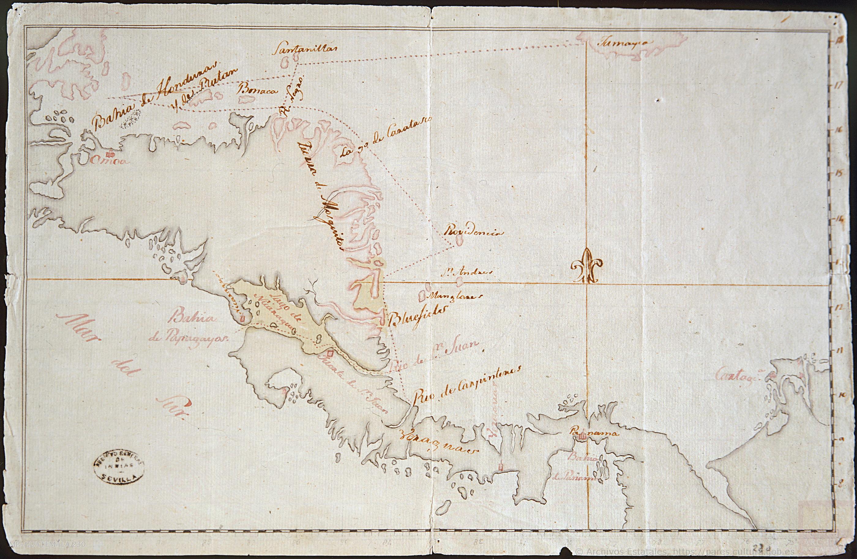
Mapa de la América Central comprendida entre el Golfo Dulce y Cartagena de Indias;por el Norte y entre la Bahía de Fonseca de Panamá por el Sur. 1777. MP-Guatemala;230. Archivo General de Indias. https://pares.mcu.es/ParesBusquedas20/catalogo/show/19823?nm
![Tawahka homeland, 1916: Showing Río Wampú (Wanpo), Río Patuca (Butuk), Cerro Quigungun (Wangkibila Volc [anol]), and the first cartographical rendering of Krautara (Moravian Archives, Bethlehem, Pennsylvania, Heath 1916)](https://dnet8ble6lm7w.cloudfront.net/maps_sm/HON/HON0014.png)