Pueblos
- ASANG
- AWAS
- TINGI
Cita
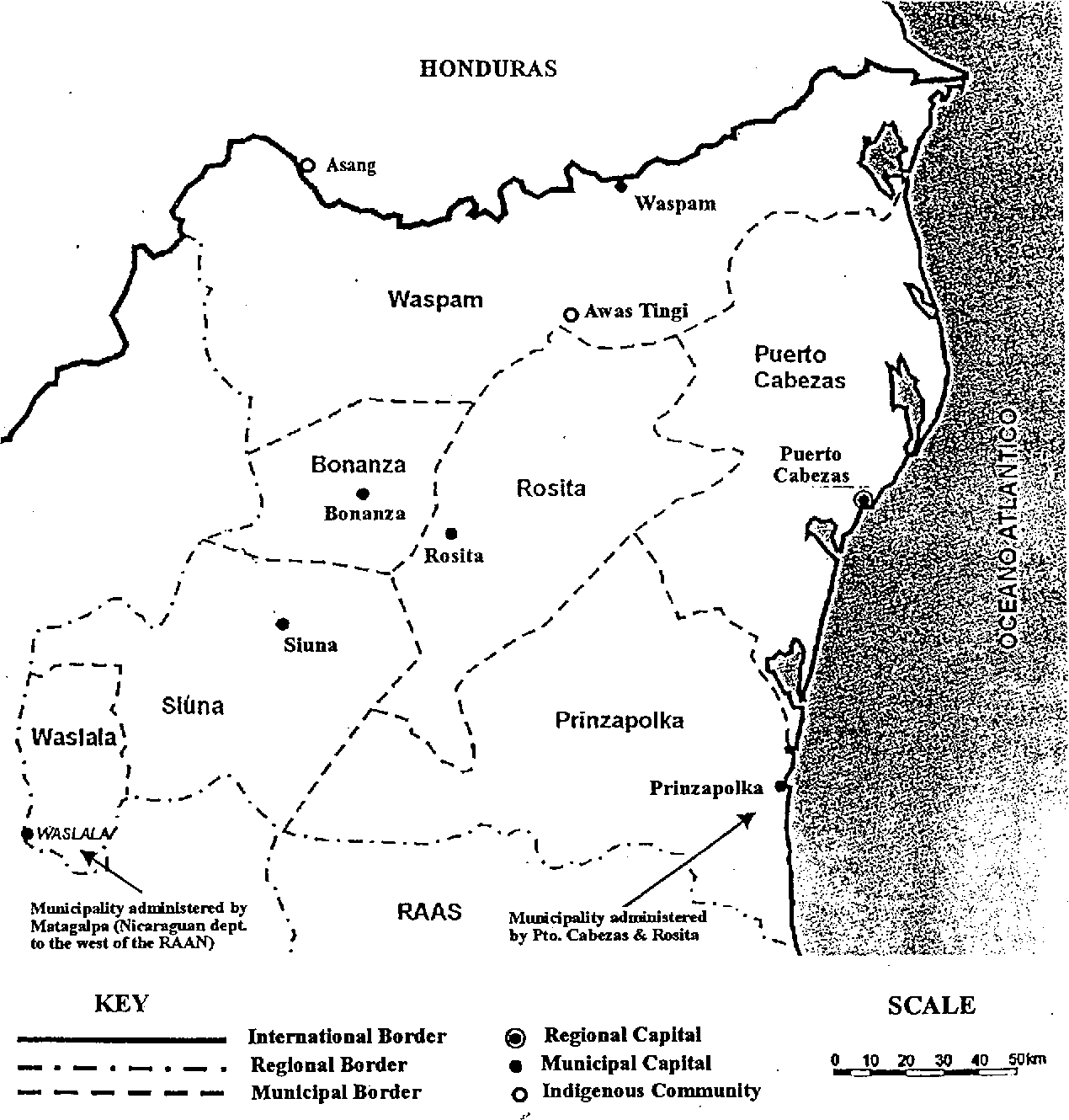
Fig 4. Map of the North Atlantic Autonomous Region (RAAN);Northeastern Nicaragua. Caddy;Emma. 1998. "Indigenous perspectives and resource management contexts: the case of northeastern Nicaragua." api. semanticscholar.org/CorpusID:130866240. Accessed July 27 2023. https://www.semanticscholar.org/paper/Indigenous-perspectives-and-resource-management-the-Caddy/fa7fba3ccc0ecdb6562208fda7bbe3cdeb6080ad