Dispossesions in the Americas

Dispossesions in the Americas

  • Inicio
  • Explorar
  • Autores
  • Sobre
  • Arte
  • Cuerpos
  • Planes de Estudio
  • Herencia Cultural
  • Mapas
  • Territorios
Volver a Explorar

Leyendo en Inglés

Mapa 1800 - 1856

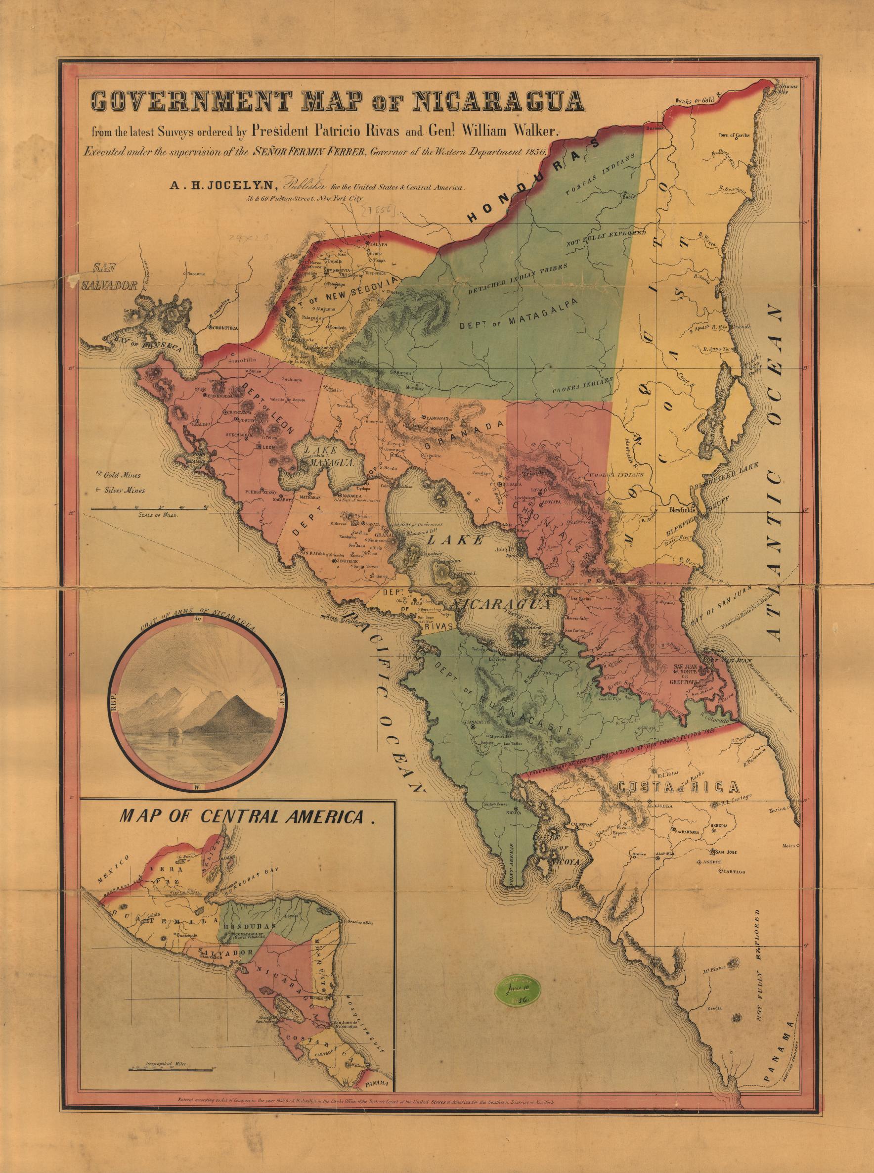
Government map of Nicaragua : from the latest surveys ordered by President Patricio Rivas and Genl. William Walker ;executed under the supervision of the Señor Fermín Ferrer;Governor of the Western Department;1856

  • JOCELYN;ALBERT

Publicado: 1856

  • Descargar Imágen
  • Descargar Imágen
Mapa 1800 - 1856

Government map of Nicaragua : from the latest surveys ordered by President Patricio Rivas and Genl. William Walker ;executed under the supervision of the Señor Fermín Ferrer;Governor of the Western Department;1856

  • JOCELYN;ALBERT

Publicado: 1856

  • Descargar Imágen

Pueblos

  • TOACAS
  • WOOLWA
  • COOKRA
  • CARIBS

Citas

Government map of Nicaragua : from the latest surveys ordered by President Patricio Rivas and Genl. William Walker ;executed under the supervision of the Señor Fermín Ferrer;Governor of the Western Department;1856. Jocelyn;Albert H. New York. Library of Congress Geography and Map Division. G4850 1856 .G6. http://hdl.loc.gov/loc.gmd/g4850.ma001010AccessedJuly252023.
  • Descargar Imágen

Artículos Relacionados

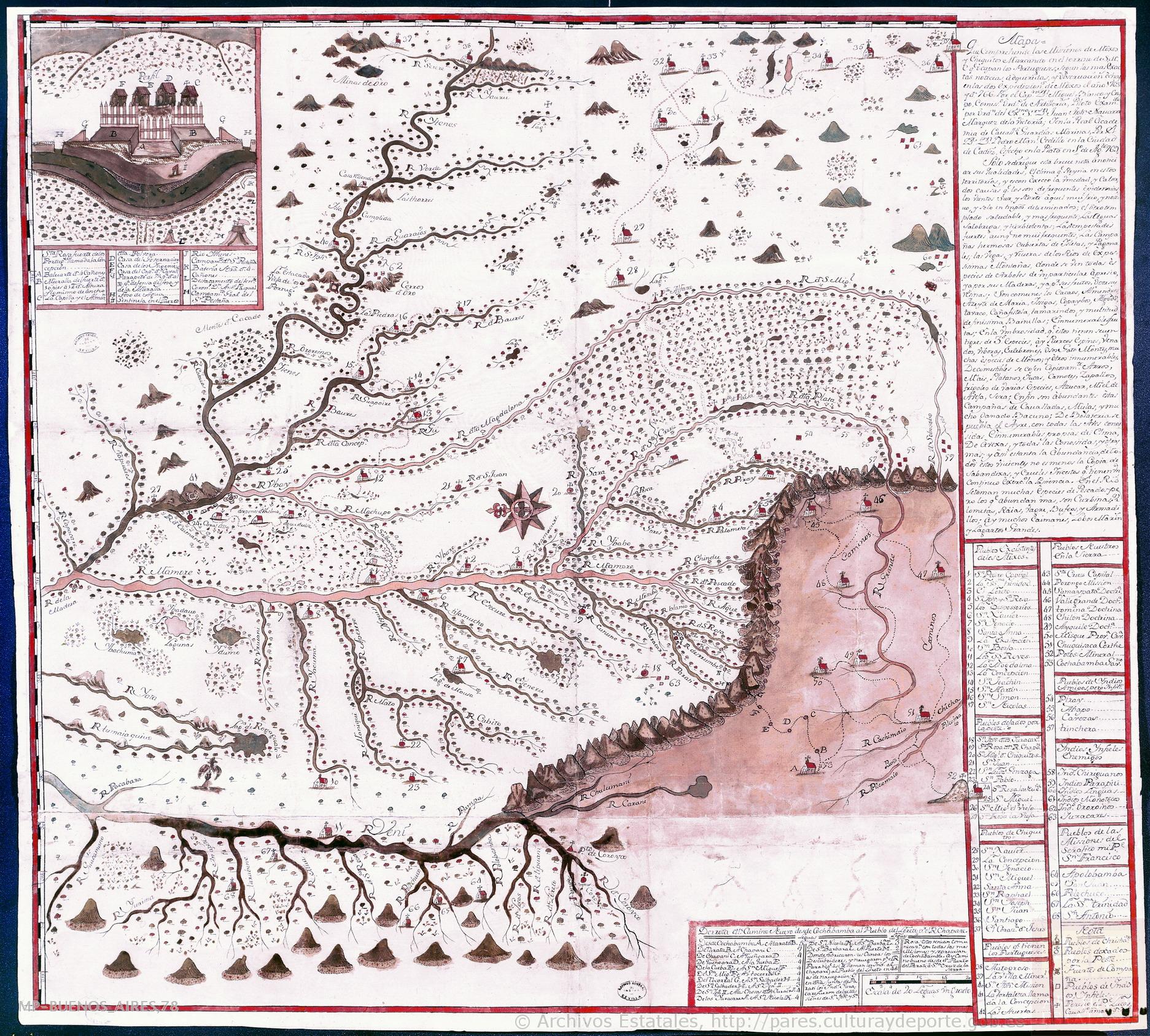
Misiones de los Indios Andaquiez  : sus navegaciones, y Ríos, naciones, y Caminos desde la Ciudad de Neyva hasta el Pueblo de la Ceja, y de este ála Concepción en el Río Putumayo

Misiones de los Indios Andaquiez : sus navegaciones, y Ríos, naciones, y Caminos desde la Ciudad de Neyva hasta el Pueblo de la Ceja, y de este ála Concepción en el Río Putumayo

Mapa 1792
PUEBLO OMAGUA

PUEBLO OMAGUA

Mapa 2021
La Guaiane ou coste sauvage, autrement El Dorado, et Pais des Amazones aujourd'hui Francce Equinoctiale suivant les relations des Indiens, Espagnols, Anglois, Holandois, et François.

La Guaiane ou coste sauvage, autrement El Dorado, et Pais des Amazones aujourd'hui Francce Equinoctiale suivant les relations des Indiens, Espagnols, Anglois, Holandois, et François.

Mapa 1600 - 1699
Provincia de Zacatecas

Provincia de Zacatecas

Mapa 1600 - 1699
MIDWEST HIGHLANDS OF GUATEMALA, POPULATION ESTIMATES AS OF 1937

MIDWEST HIGHLANDS OF GUATEMALA, POPULATION ESTIMATES AS OF 1937

Mapa 1937
Pueblo y tierras de Sopó

Pueblo y tierras de Sopó

Mapa 1758
MAPA DE LAS MISSIONES DE LA COMPANIA DE JESVS EN

MAPA DE LAS MISSIONES DE LA COMPANIA DE JESVS EN

Mapa 1749
DESCRIPCIÓN GEOGRAPHICA E HIDORGRÁPHICA DEL GOVIERNO DE VENEZUELA I SUS PROVINCIAS

DESCRIPCIÓN GEOGRAPHICA E HIDORGRÁPHICA DEL GOVIERNO DE VENEZUELA I SUS PROVINCIAS

Mapa 1634

Despojos en las Américas

Un Proyecto de

University of Pennsylvania

Copyright 2024

Con el apoyo de

Mellon Foundation

Diseño y Desarrollo del Sitio

Element 84

Créditos Artísticos

Government map of Nicaragua : from the latest surveys ordered by President Patricio Rivas and Genl. William Walker ;executed under the supervision of the Señor Fermín Ferrer;Governor of the Western Department;1856. Jocelyn;Albert H. New York. Library of Congress Geography and Map Division. G4850 1856 .G6. http://hdl.loc.gov/loc.gmd/g4850.ma001010AccessedJuly252023.
Páginas del Sitio

  • Inicio
  • Explorar
  • Autores
  • Sobre
  • Arte
  • Cuerpos
  • Planes de Estudio
  • Herencia Cultural
  • Mapas
  • Territorios