Pueblos
- CARIBES
- INDIOS
Cita
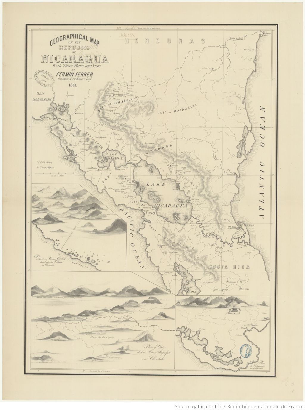
Geographic map of the NIcaragua: with three plans and views. Fermin Ferrer;Governor of the Western Department. 1855. Gallica. https://gallica.bnf.fr/ark:/12148/btv1b53171838v/f1.item.zoom#.AccessedJuly212023
No Title
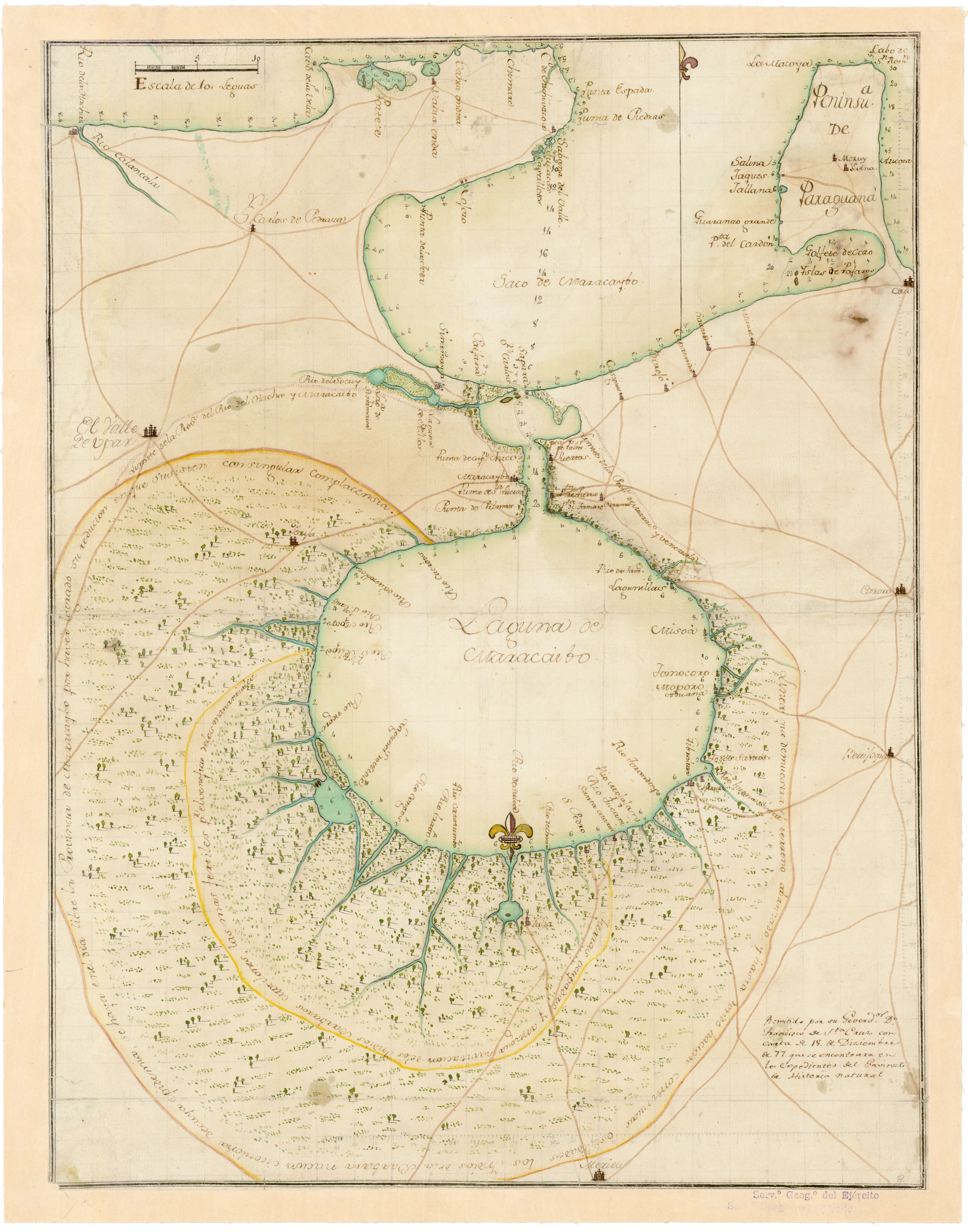
Mapa 1777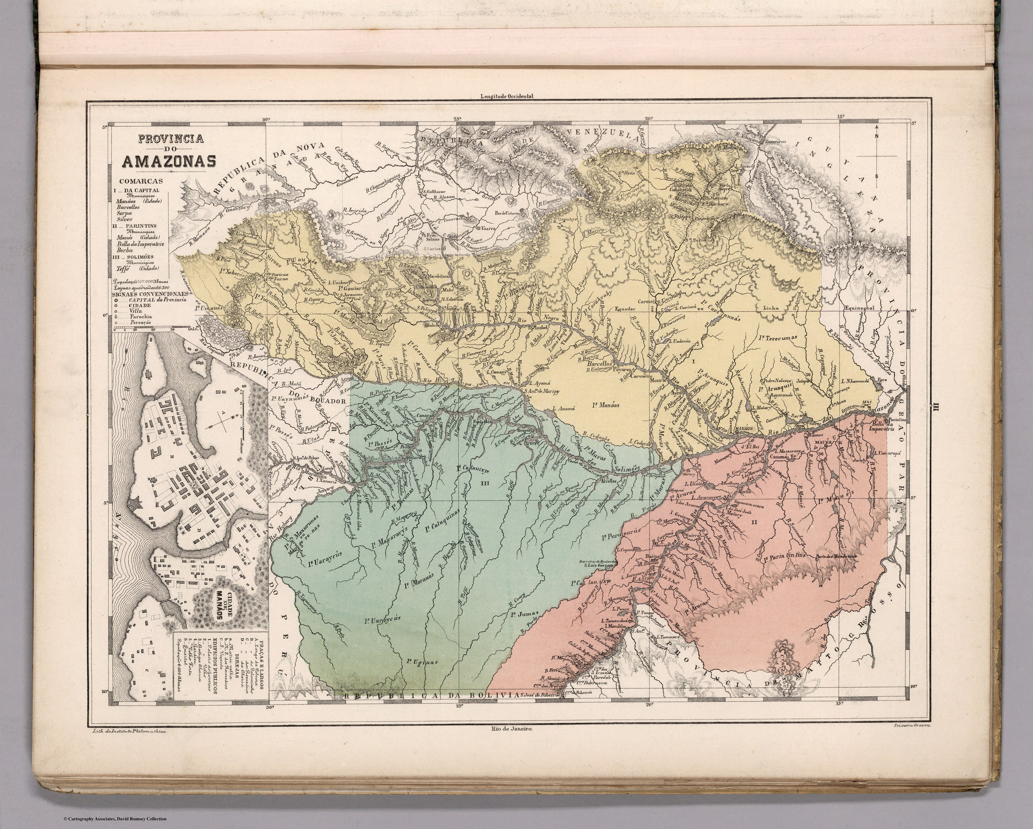
Provincia do AMAZONAS
Mapa 1800 - 1850
Cartes de la Guyane. Carte de la Guyane Drançaise. Dressée sur l'ordre de M.e M. E. Picanon Gouverneur.
Mapa 1907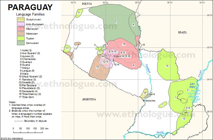
PARAGUAY Language Families
Mapa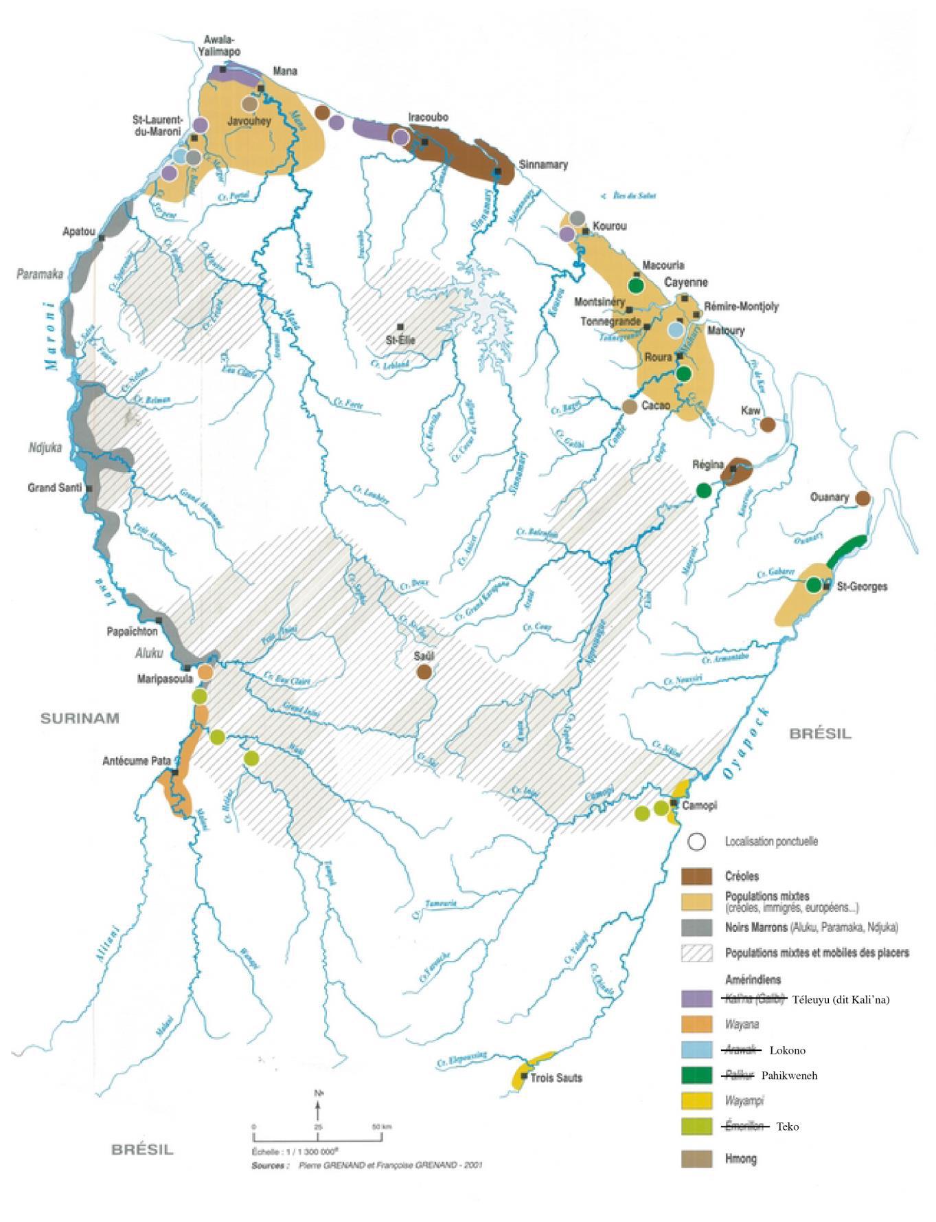
Cartographie des lieux de vies des peuples autochtones et des peuples bushinenges en Guyane française.
Mapa 2022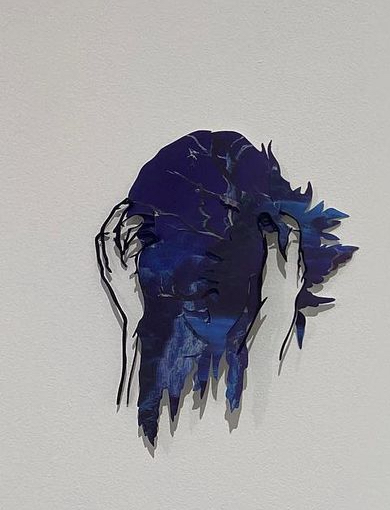
21
Obra de Arte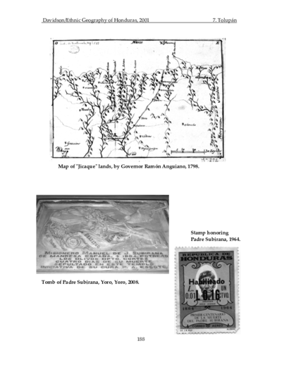
Map of "Jicaque" lands, by Governor Ramón Anguiano, 1798
Mapa 1798
Carte du cours de la rivière de Sinnamary depuis son embouchure jusqu'au saut, relevée à la boussole et par estime, le 30 octobre 1763, et corrigée le 8 novembre 1764 en mesurant les faces des habitations sur cette rivière conformément aux ordres de Mr. de Chauvalon.
Mapa 1764