Cita
Mundy, Barbara E. "Mapping the Aztec Capital: The 1524 Nuremberg Map of Tenochtitlan, Its Sources and Meanings." Imago Mundi 50 1998: 11-33. PDF. https://www.latinamericanstudies.org/aztecs/aztec-capital.pdf
CARTA DA PROVINCIA DE S. PAULO
Mapa 1887
Mapa histórico-geográfico de Perú, Chile y Buenos Aires
Mapa 1830
Esculpir el Silencio
Obra de Arte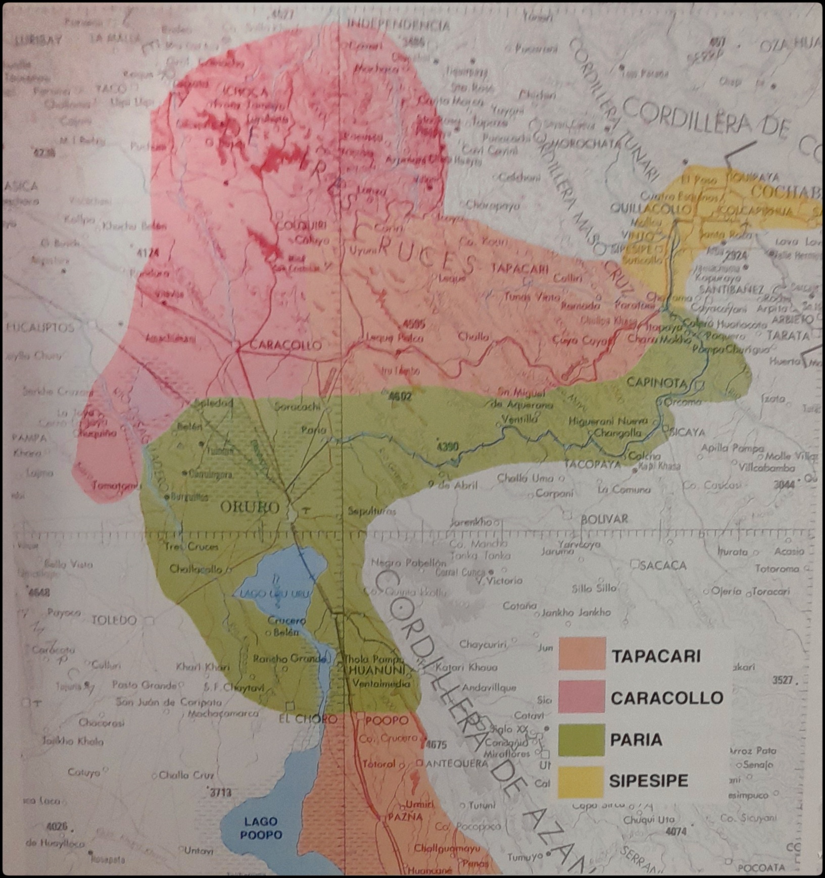
EL SEÑORÍO AYMARA DE LOS SURAS EN EL SIGLO XVI
Mapa 1500 - 1699
BORRADOR TOPOGRÁFICO DE LA LÍNEA DIVISORIA, QUE CITA EL ARTÍCULO 12º DEL TRATADO PRELIMINAR, Y AJUSTADAS DISTANCIAS HASTA SU PUNTO FINAL
Mapa 1800 - 1850
Mosquitia or The Mosquito Shore with The Eastern Part of Yucatán as far as the 20th Degree of North Latitude
Mapa 1787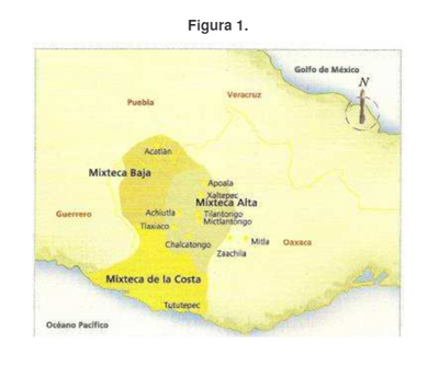
Ubicación geográfica del pueblo mixteco
Mapa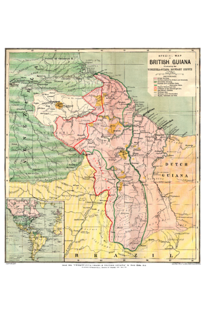
SPECIAL MAP OF BRITISH GUIANA Illustrating the VENEZUELA-GUIANA BOUNDARY DISPUTE
Mapa 1898