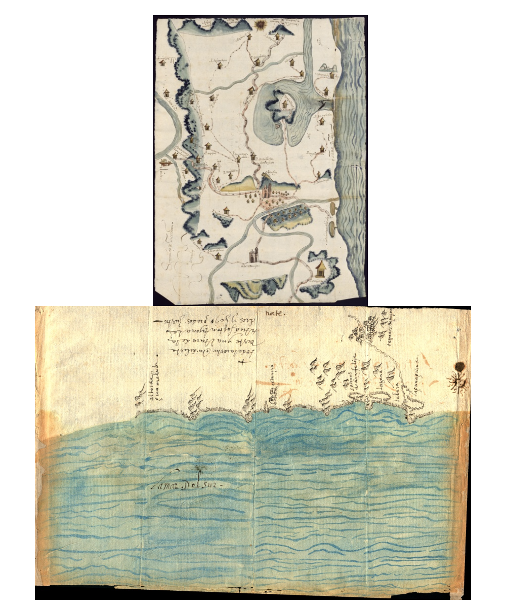
Cita
"Relaciones Geográficas de Oaxaca. Tehuantepec." Map. 1579-1585. http://bdmx.mx/documento/relaciones-geograficas-oaxaca-tehuantepec.
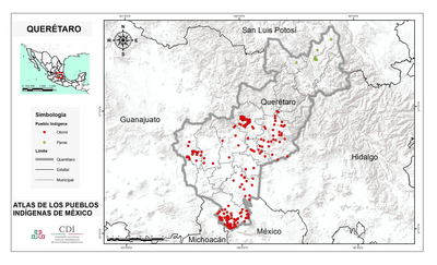
QUERÉTARO
Mapa 2015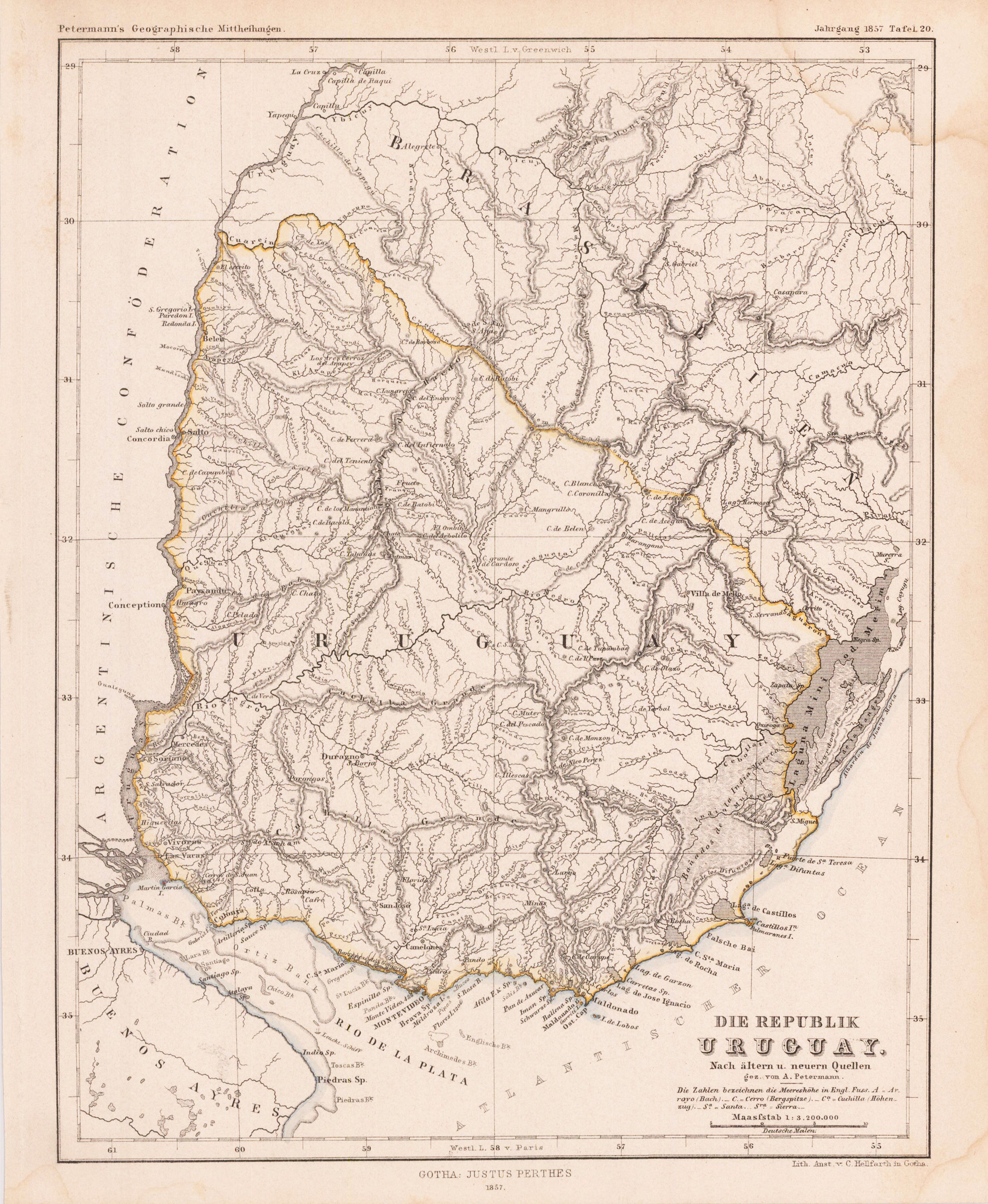
DIE REPUBLIK URUGUAY
Mapa 1857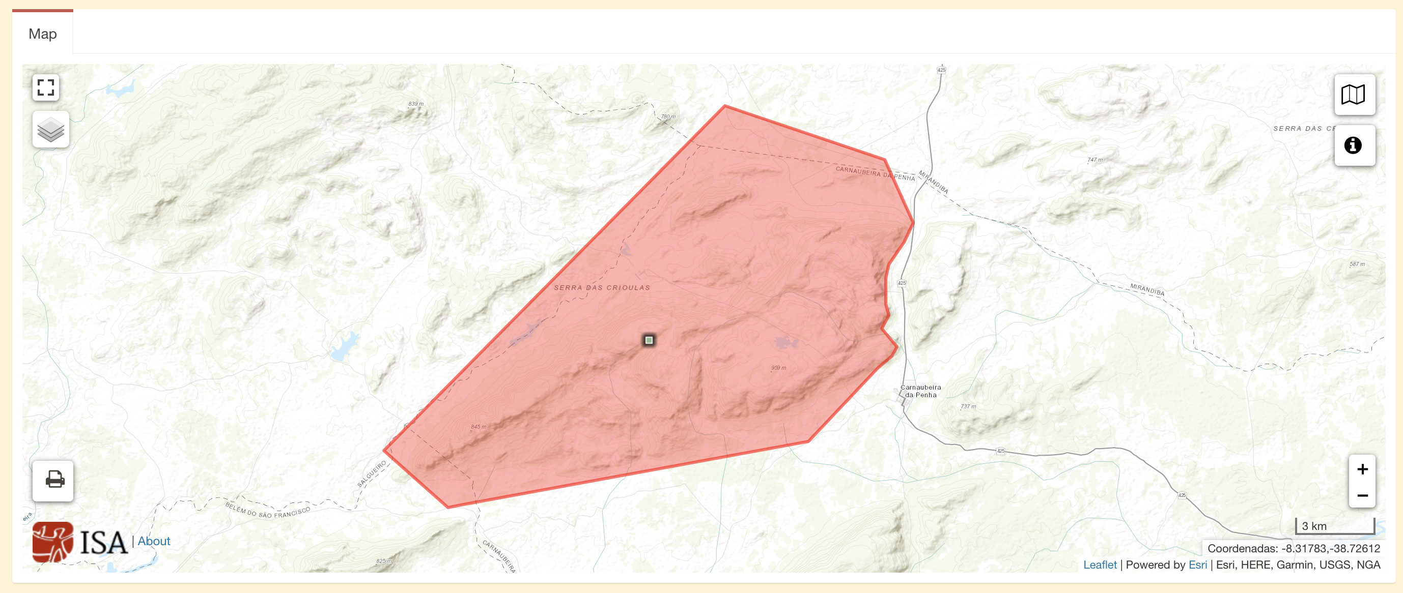
Terra Indígena Atikum
Mapa 1996 - 2021
Map of the basin of La Plata : based upon the results of the expedition under the command of Thos. J. Page;U.S. Navy;in the years 1853;-'54;-'55;& 56 and of the adjacent countries
Mapa 1853 - 1856
PUEBLO CHUJ
Mapa 2020
Terre de Sainte Croix, nommée apresent Bresil
Mapa 1749
Mapa con migraciones de indígenas misioneros y fundación de pueblos en Uruguay
Mapa 1828 - 1832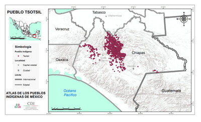
PUEBLO TSOTSIL
Mapa 2020