Cita
Comisión Nacional para el Desarrollo de los Pueblos Indígenas. Regiones indígenas de México. Publication no. 330.972. 2006. https://www.gob.mx/cms/uploads/attachment/file/35735/cdi-regiones-indigenas-mexico.pdf.
Present Distribution of the Otomi Family
Mapa 1969
Outside Threats to Maya Lands
Mapa 1997
Guiana siue Amazonum Regio.
Mapa 1600 - 1699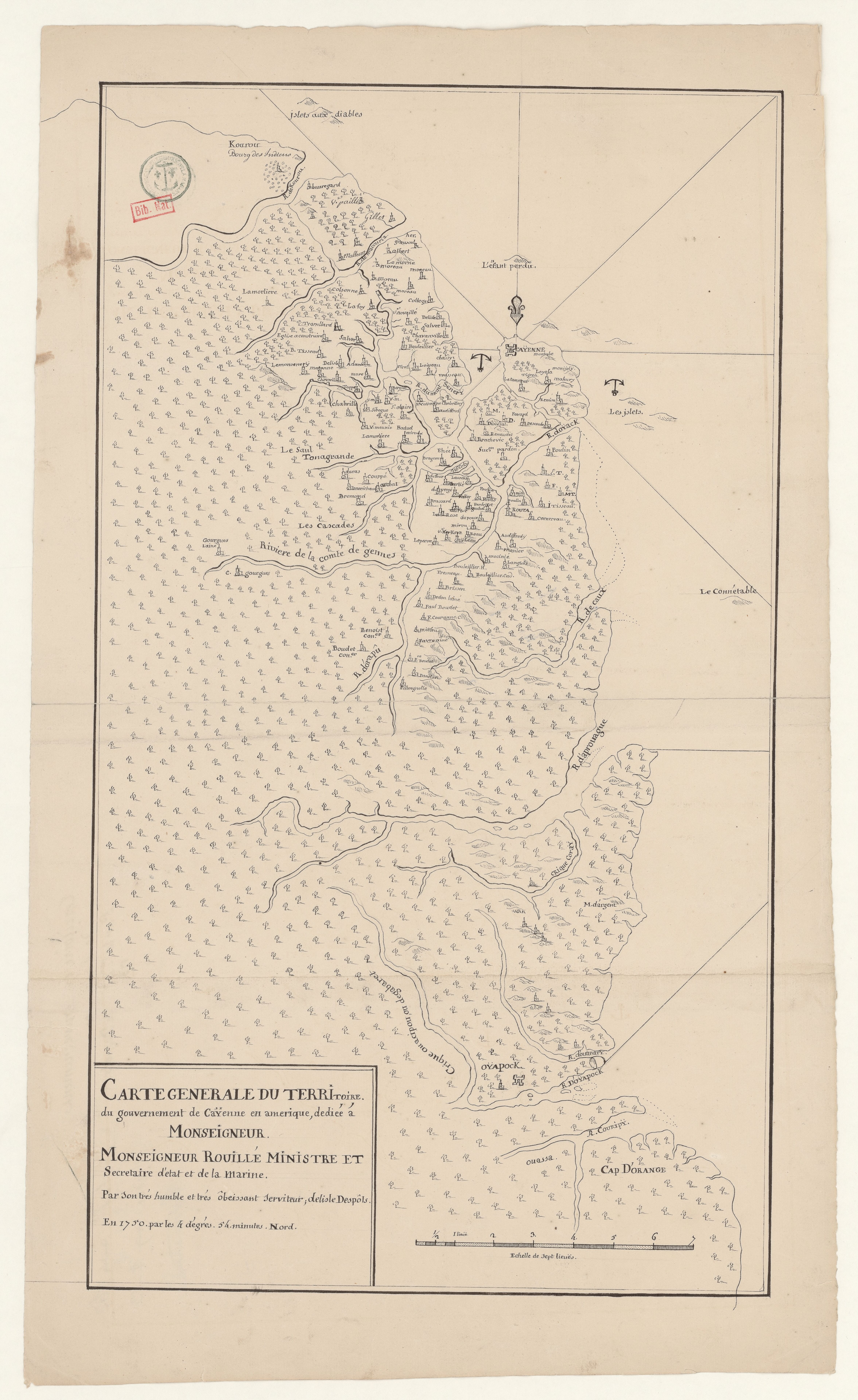
Carte générale du territoire du gouvernement de Caÿenne en amerique
Mapa 1750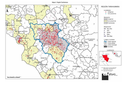
REGIÓN TARAHUMARA
Mapa 2000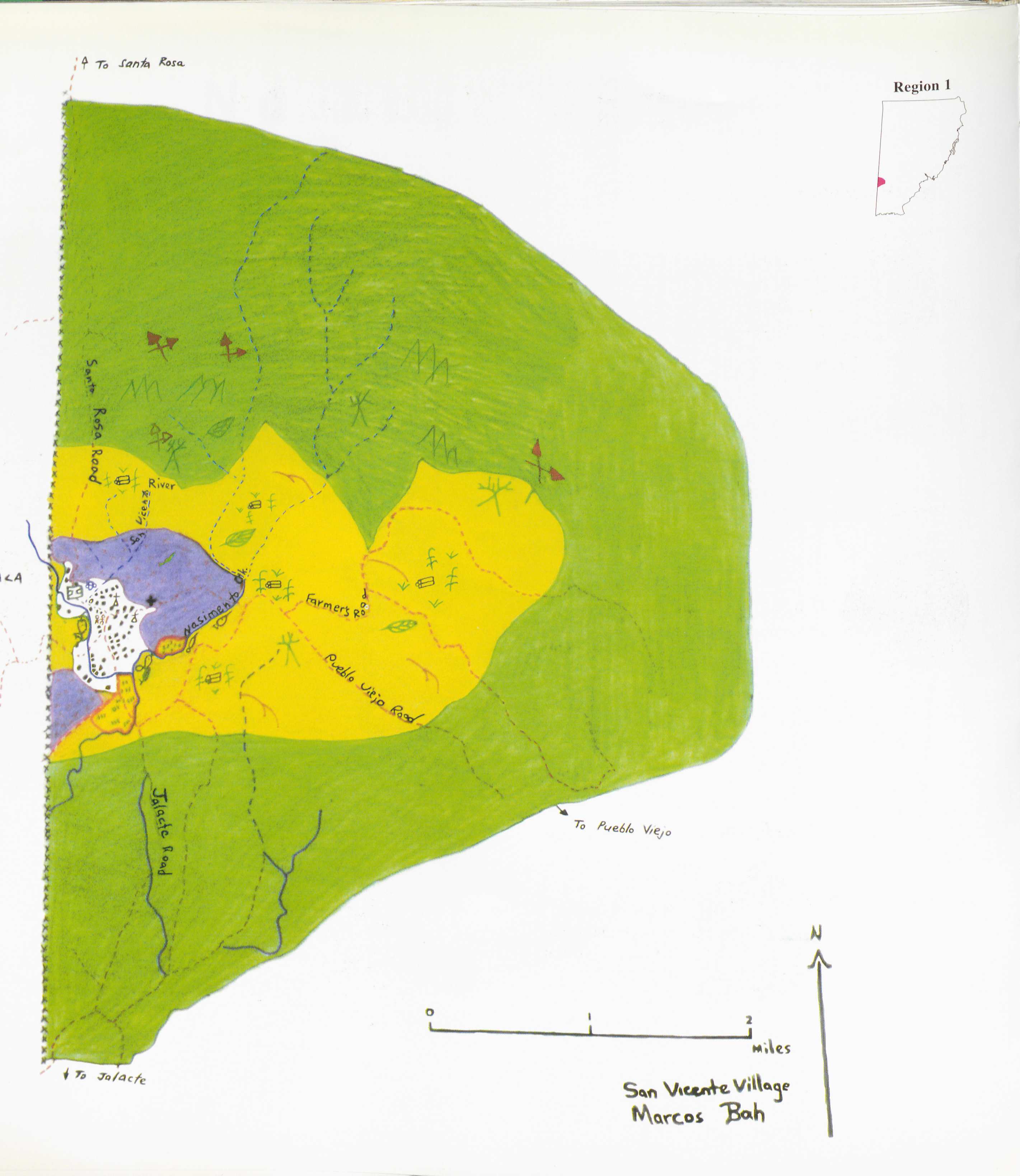
San Vicente
Mapa 1997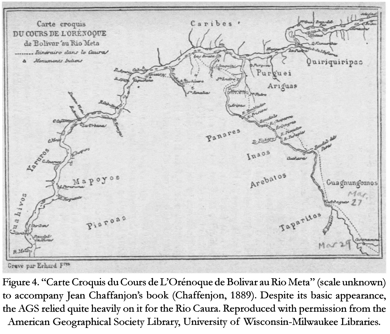
Carte Croquis DU COURS DE L'ORÉNOQUE de Bolivar àu Rio Meta
Mapa 1884
El descubrimiento del Amazonas
Obra de Arte