Cita
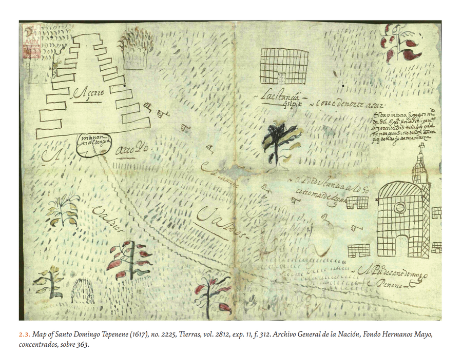
Hidalgo, Alex. Trail of Footprints: A History of Indigenous Maps from Viceregal Mexico. Austin: University of Texas Press, 2019. https://www.jstor.org/stable/10.7560/317518.6.

Government map of Nicaragua : from the latest surveys ordered by President Patricio Rivas and Genl. William Walker ;executed under the supervision of the Señor Fermín Ferrer;Governor of the Western Department;1856
Mapa 1800 - 1856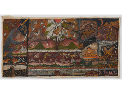
Cosmovisión huitoto
Obra de Arte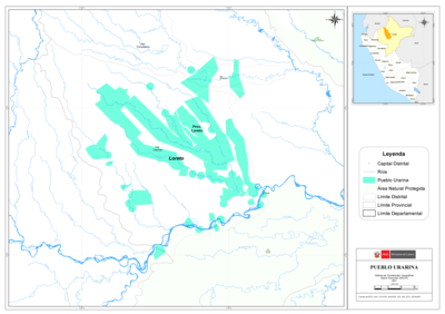
PUEBLO URARINA
Mapa 2021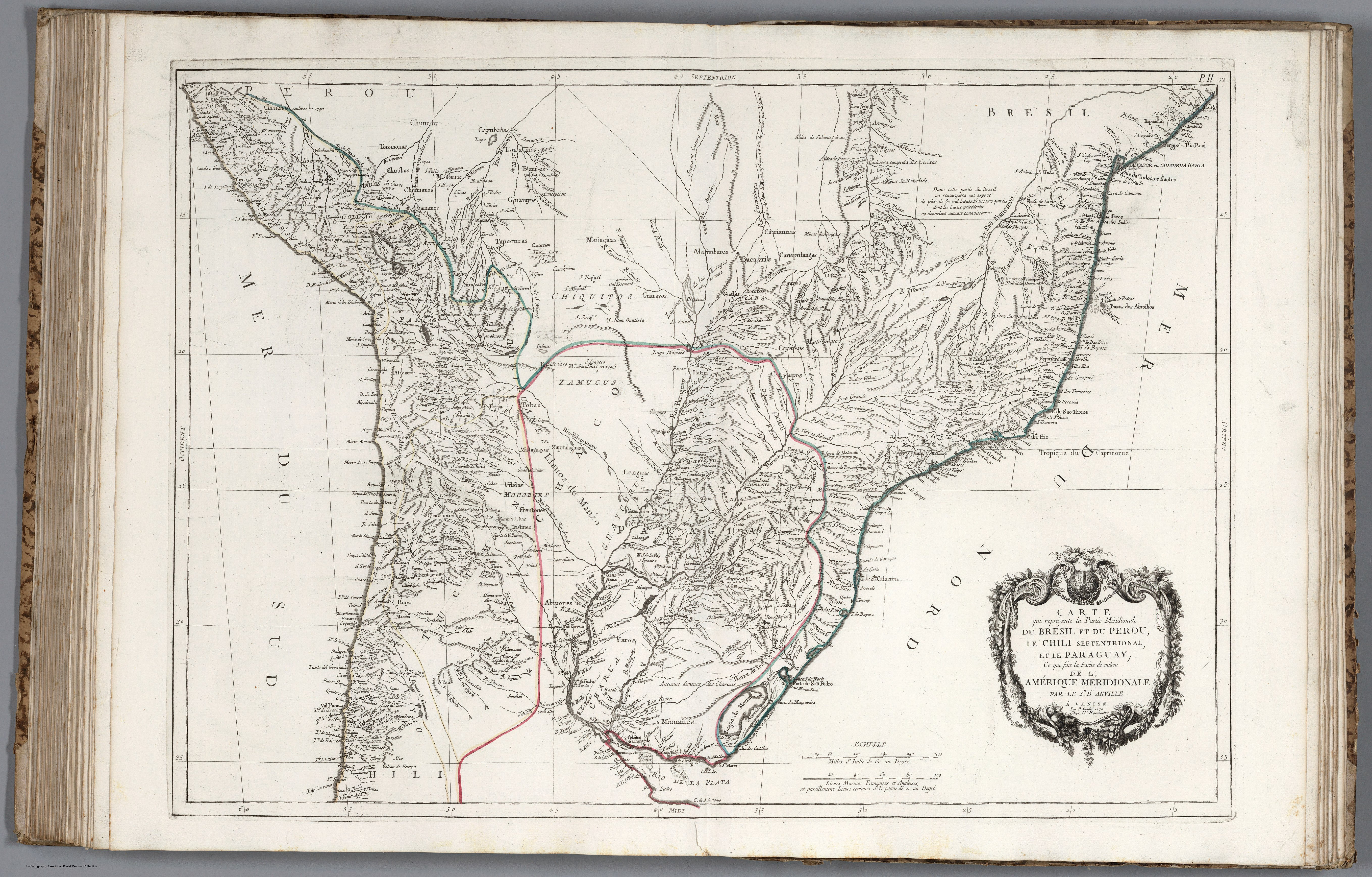
CARTE que représente la Partie Méridionale DU BRÉSIL ET DU PEROU;LE CHILI SEPTENTRIONAL;EL LE PARAGUAY;Ce qui fait la Pártie de milieu DE L’AMÉRIQUE MERIDIONALE PAR LE SR. D’ANVILLE À VENISE Par P. Santini 1779. Chez M’.Remondiri.
Mapa 1779
Aché
Mapa 2001
Maragnonii sive Amazonum Fluminis Terrarum in Orbe Maximi, quoad Hispanicae Potestati subest, ...
Mapa 1785
Carte du gouvernement de Cayenne dans l'Amerique méridionale.
Mapa 1696
REGIÓN ISTMO
Mapa 2000