
Pueblos
- HUASTECO
- NAHUA
- PAME
Cita
Instituto Nacional de los Pueblos Indígenas. "Distribución por Entidad Federativa." Atlas de los pueblos indígenas de México. http://atlas.inpi.gob.mx/distribucion-por-entidad-federativa/.
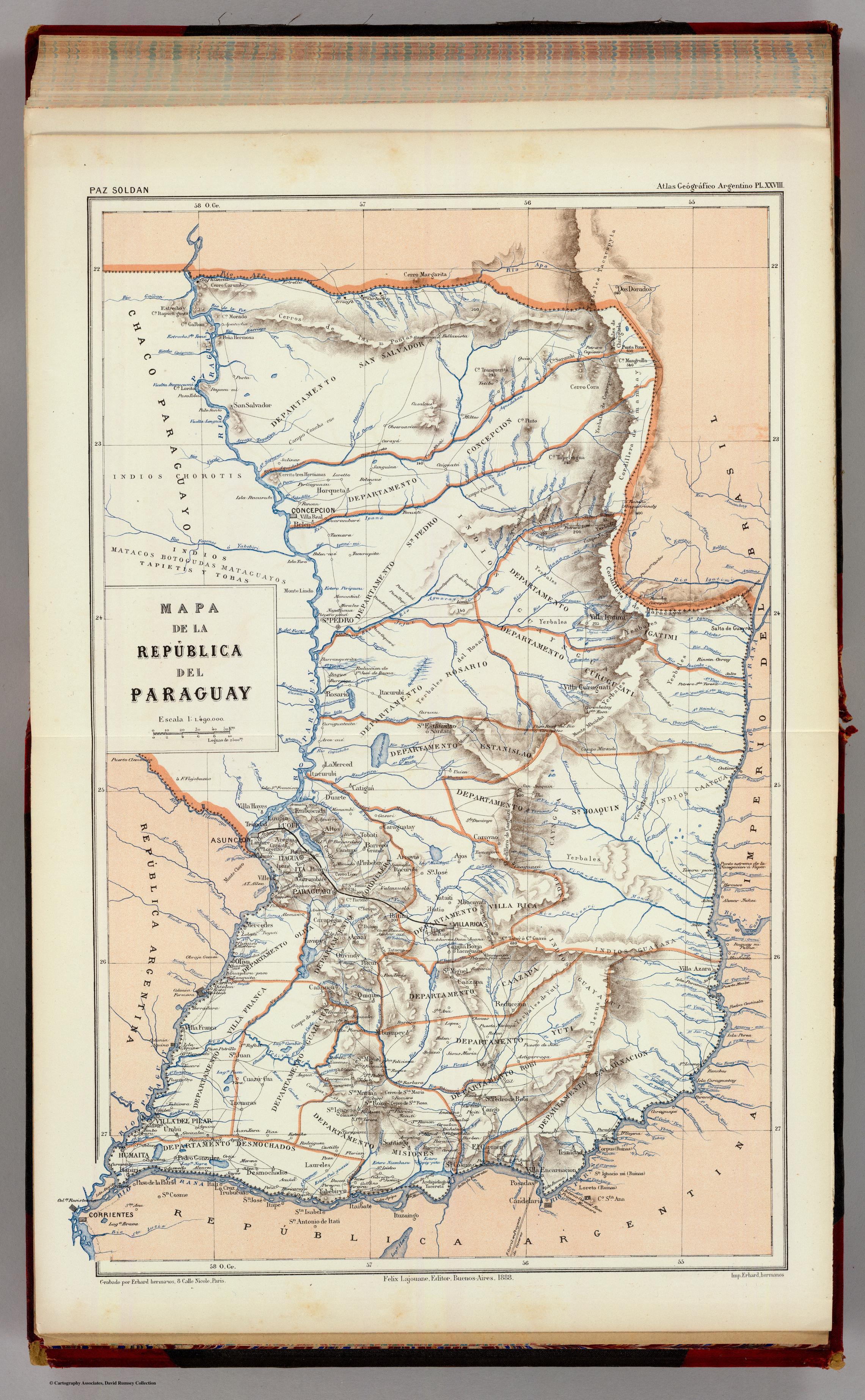
MAPA DE LA REPÚBLICA DEL PARAGUAY
Mapa 1888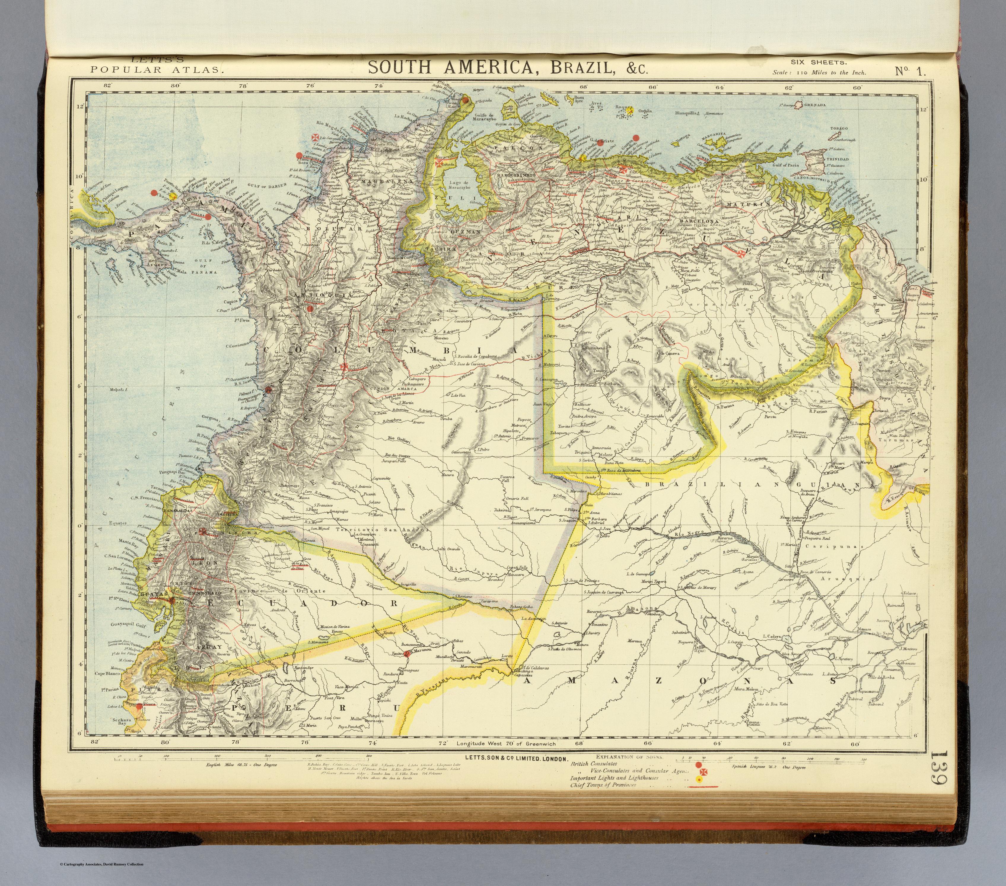
SOUTH AMERICA;BRAZIL;&C.
Mapa 1883
1. Angustia #1 2. Angustia #2 3. Angustia #7 4. Angustia #8 5. Angustia #10 6. Angustia #12
Obra de Arte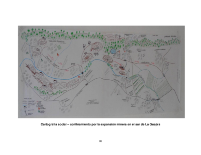
Cartografía social – confinamiento por la expansión minera en el sur de La Guajira
Mapa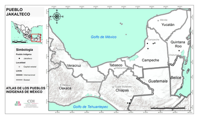
PUEBLO JAKALTECO
Mapa 2020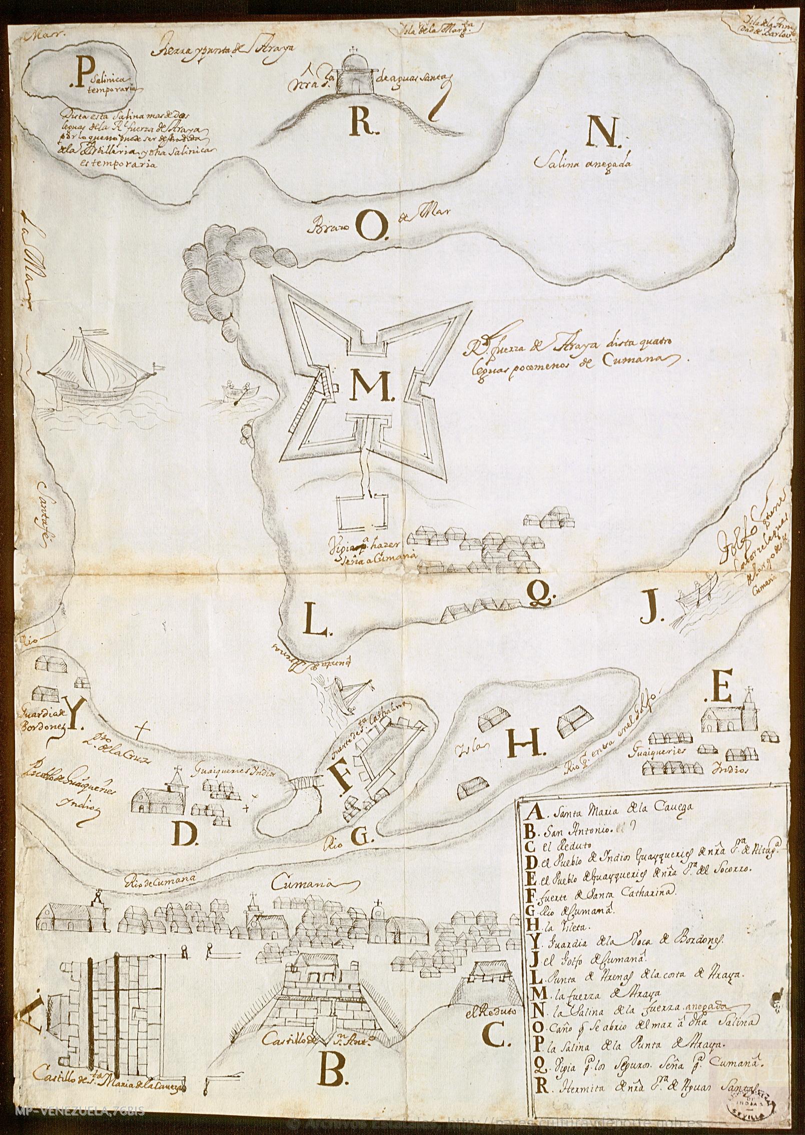
No Title
Mapa 1725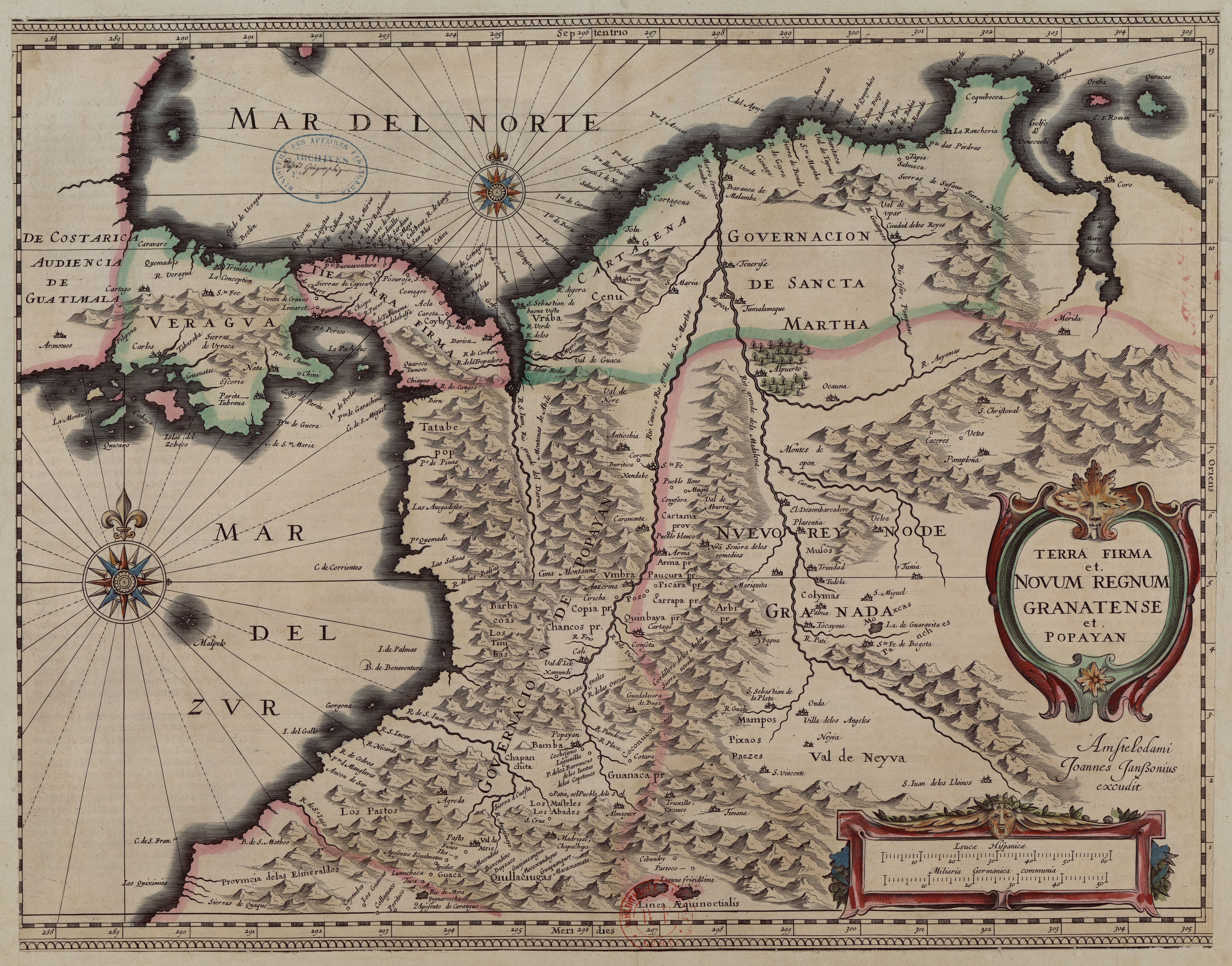
Terra Firma et Novum Regnum Granatense et Popayan
Mapa 1635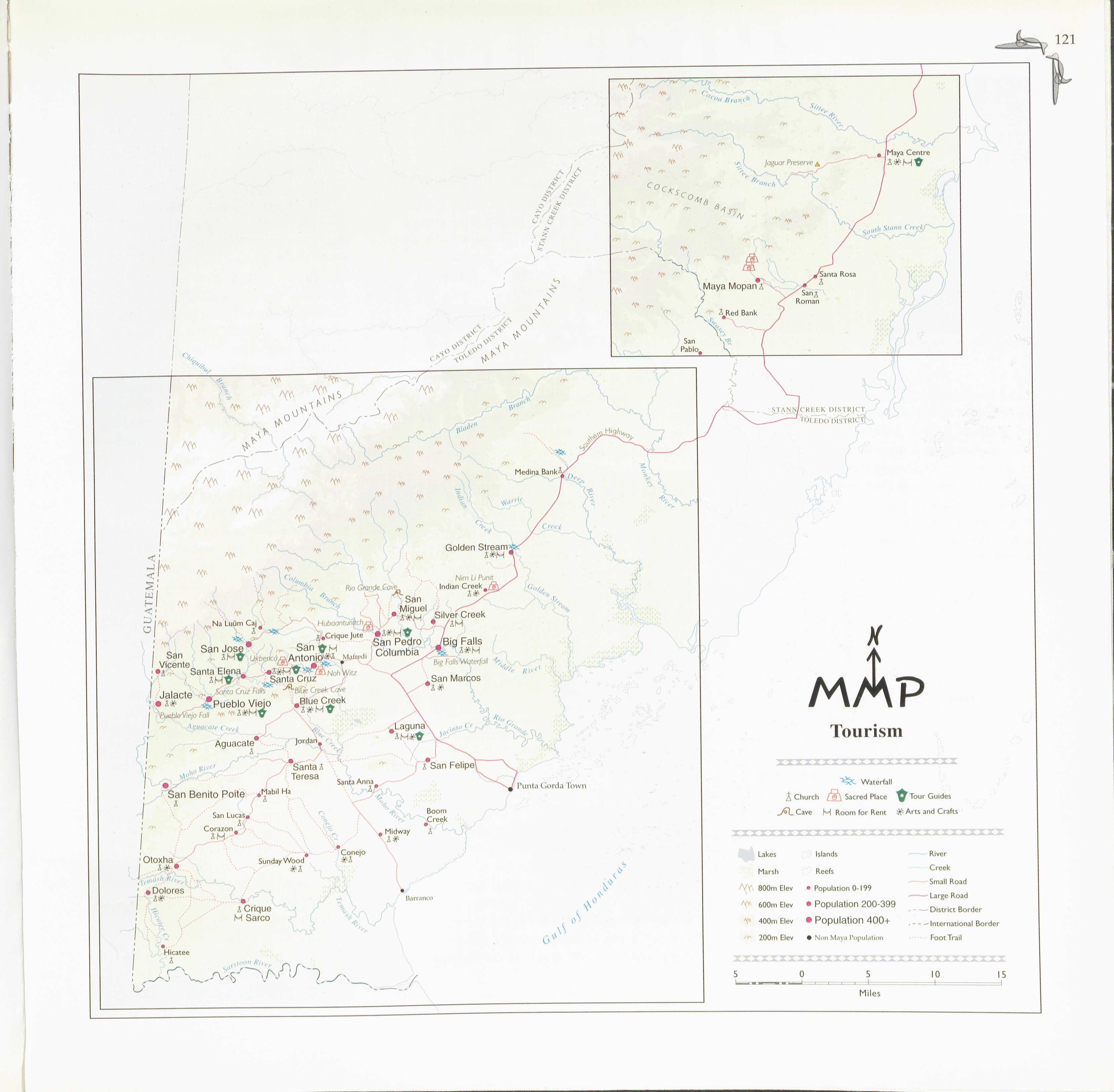
Tourism
Mapa 1997