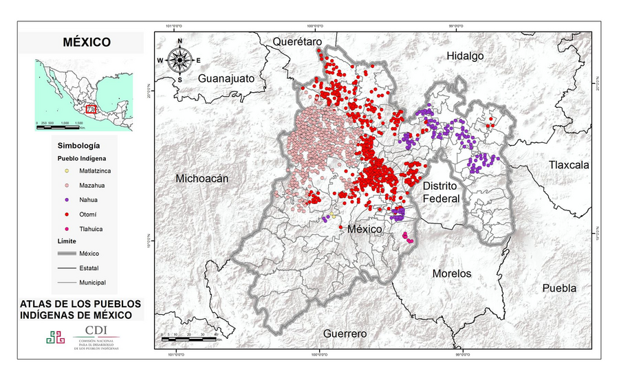
Pueblos
- MATLATZINCA
- MAZAHUA
- NAHUA
- OTOMI
- TLAHUICA
Cita
Instituto Nacional de los Pueblos Indígenas. "Distribución por Entidad Federativa." Atlas de los pueblos indígenas de México. http://atlas.inpi.gob.mx/distribucion-por-entidad-federativa/.
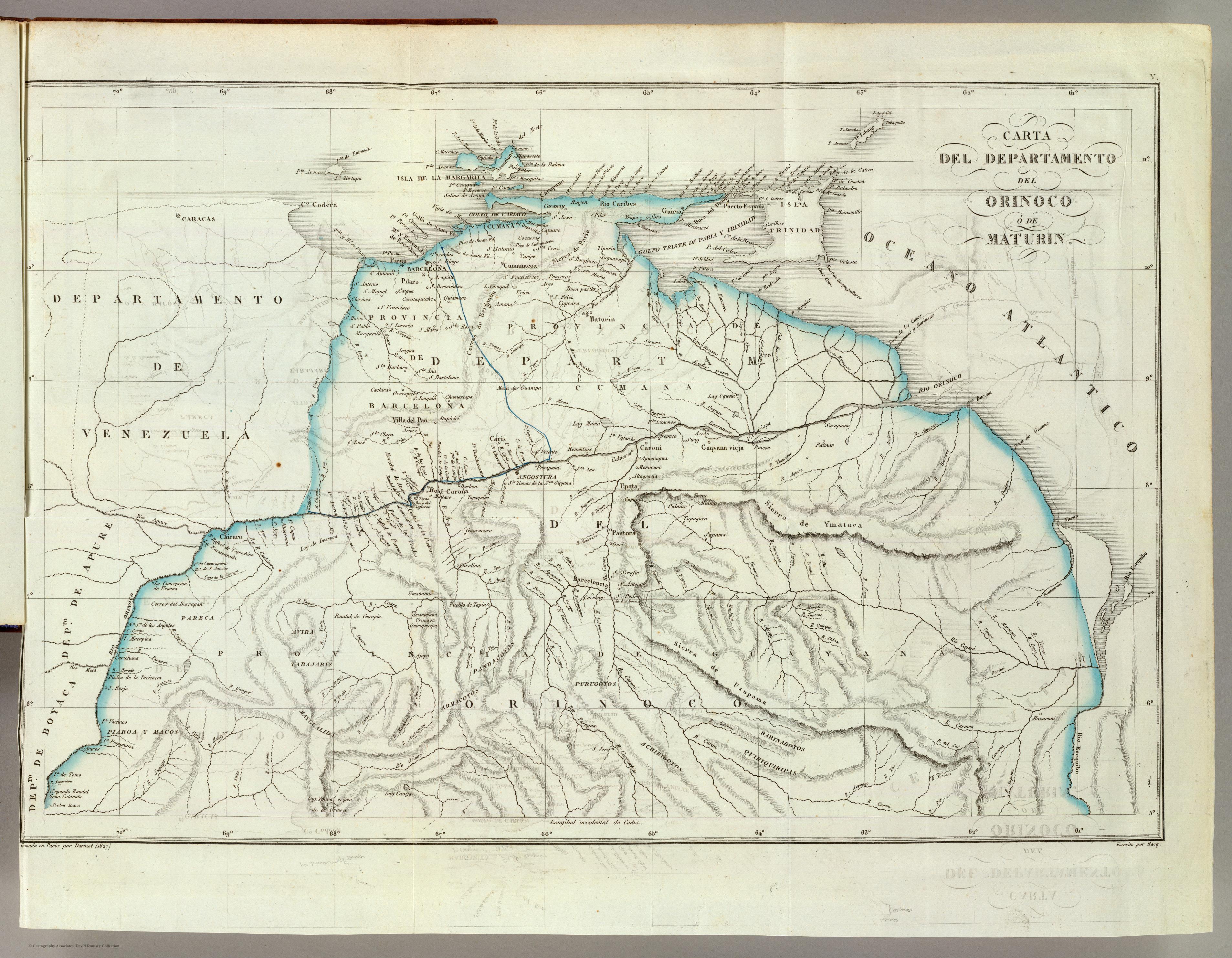
CARTA DEL DEPARTAMENTO DEL ORINOCO O DE MATURIN
Mapa 1827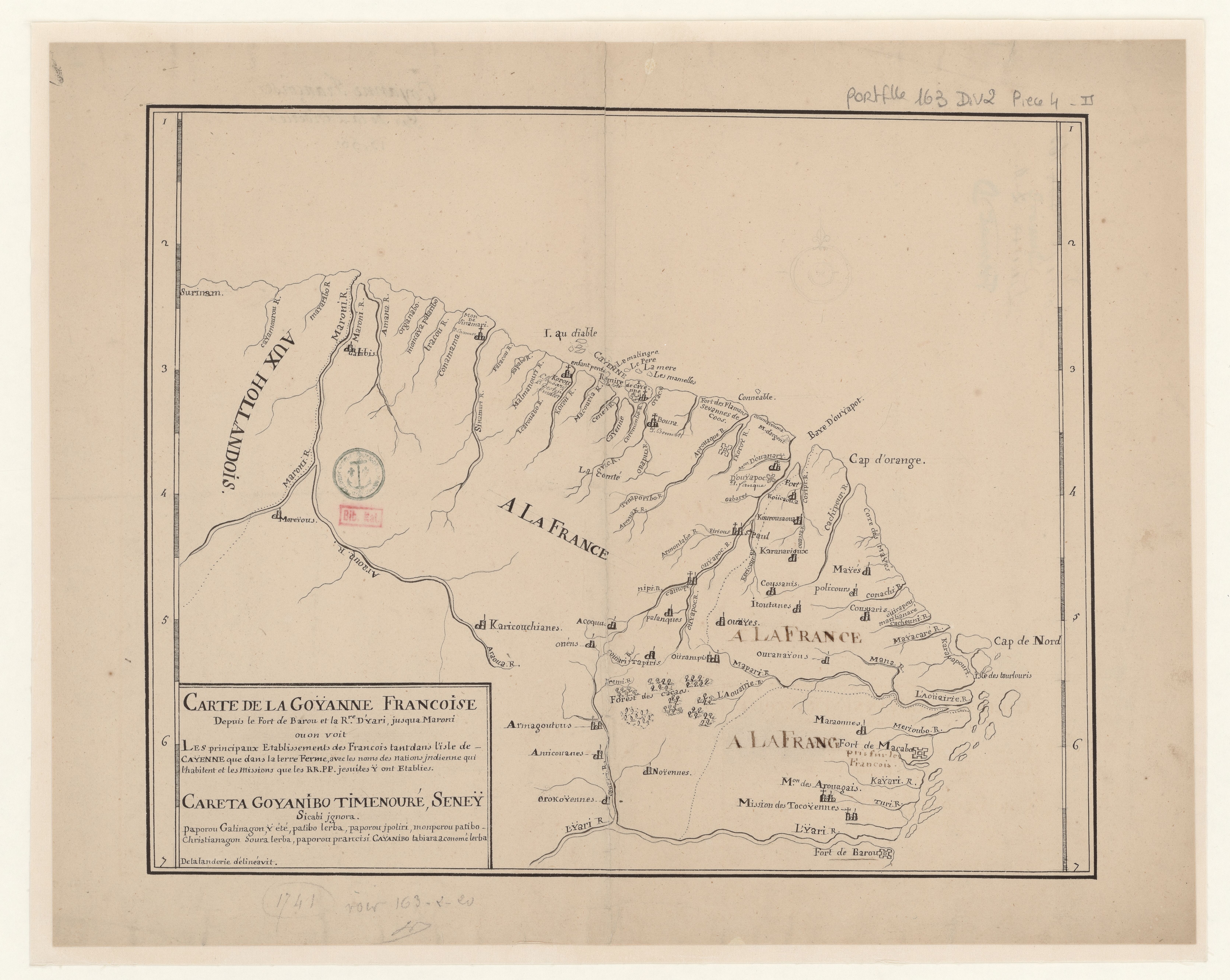
Carte de la Goÿanne francoise depuis le fort de Barou et la Rre. D'yari, jusqua Maroni ou on voit les principaux établissements des Francois tant das l'isle de Caÿenne que dans la terre ferme, avec les noms des nations indienne qui habitent et les missions que le RR.PP y ont établies.
Mapa 1741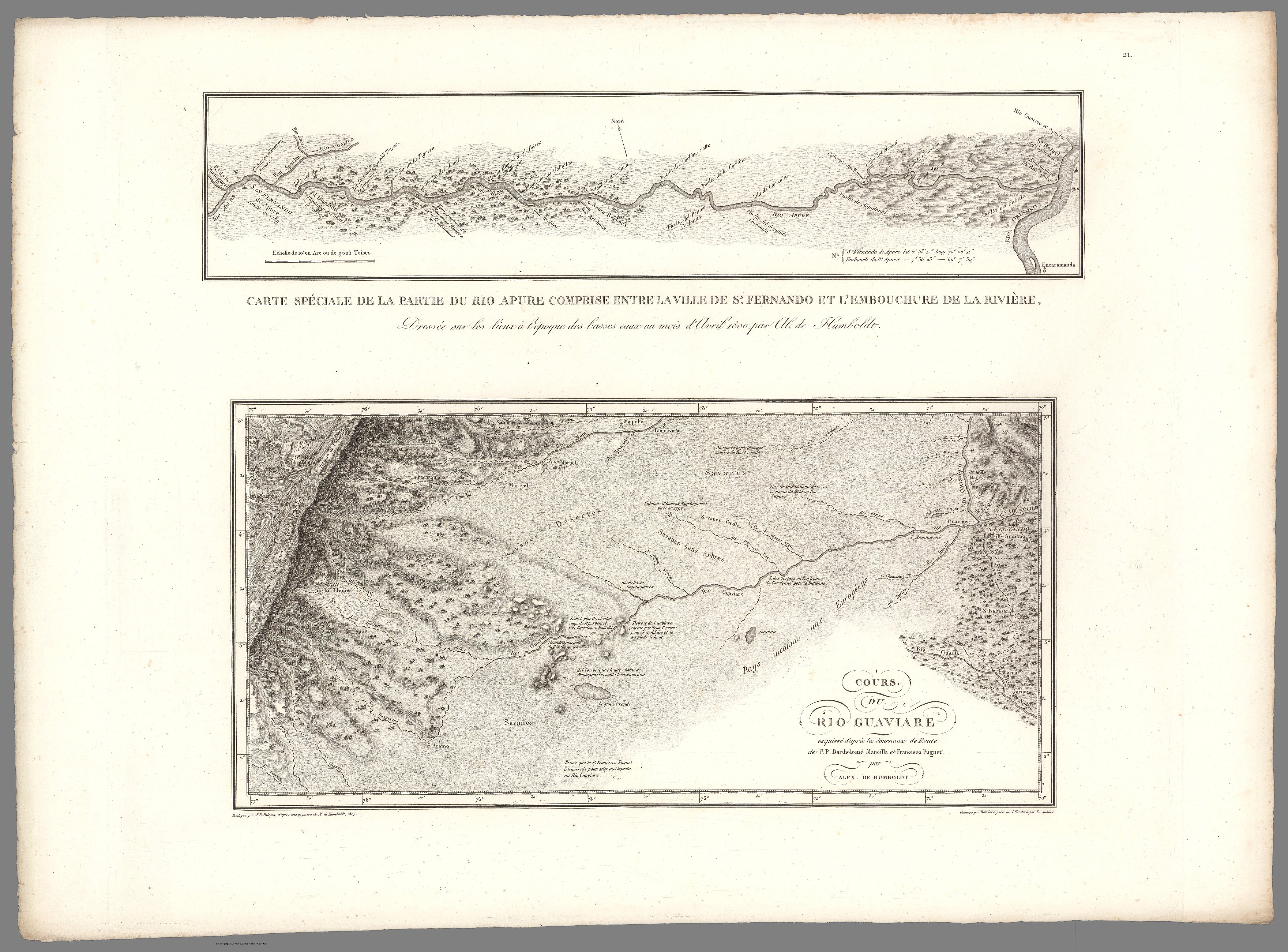
XXI. Cours du Rio Guaviare et de la partie de l'Apure comprise entre la ville de San-Fernando et le confluent de l'Apure avec l'Orenoque.
Mapa 1799 - 1804
DURANGO
Mapa 2015
Carte du Gouvernement de Cayenne dans l'Amérique Méridionale
Mapa 1763
PUEBLO NAHUA DE VERACRUZ
Mapa 2020
PUEBLO ISKONAWA
Mapa 2021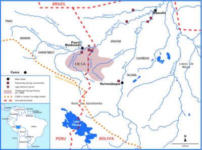
Ese Eja Communities
Mapa 1900