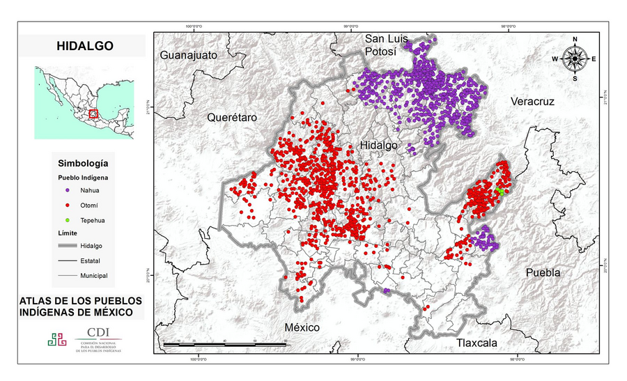
Pueblos
- NAHUA
- OTOMI
- TEPEHUA
Citas
Instituto Nacional de los Pueblos Indígenas. "Distribución por Entidad Federativa." Atlas de los pueblos indígenas de México. http://atlas.inpi.gob.mx/distribucion-por-entidad-federativa/.
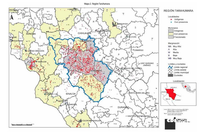
REGIÓN TARAHUMARA
Mapa 2000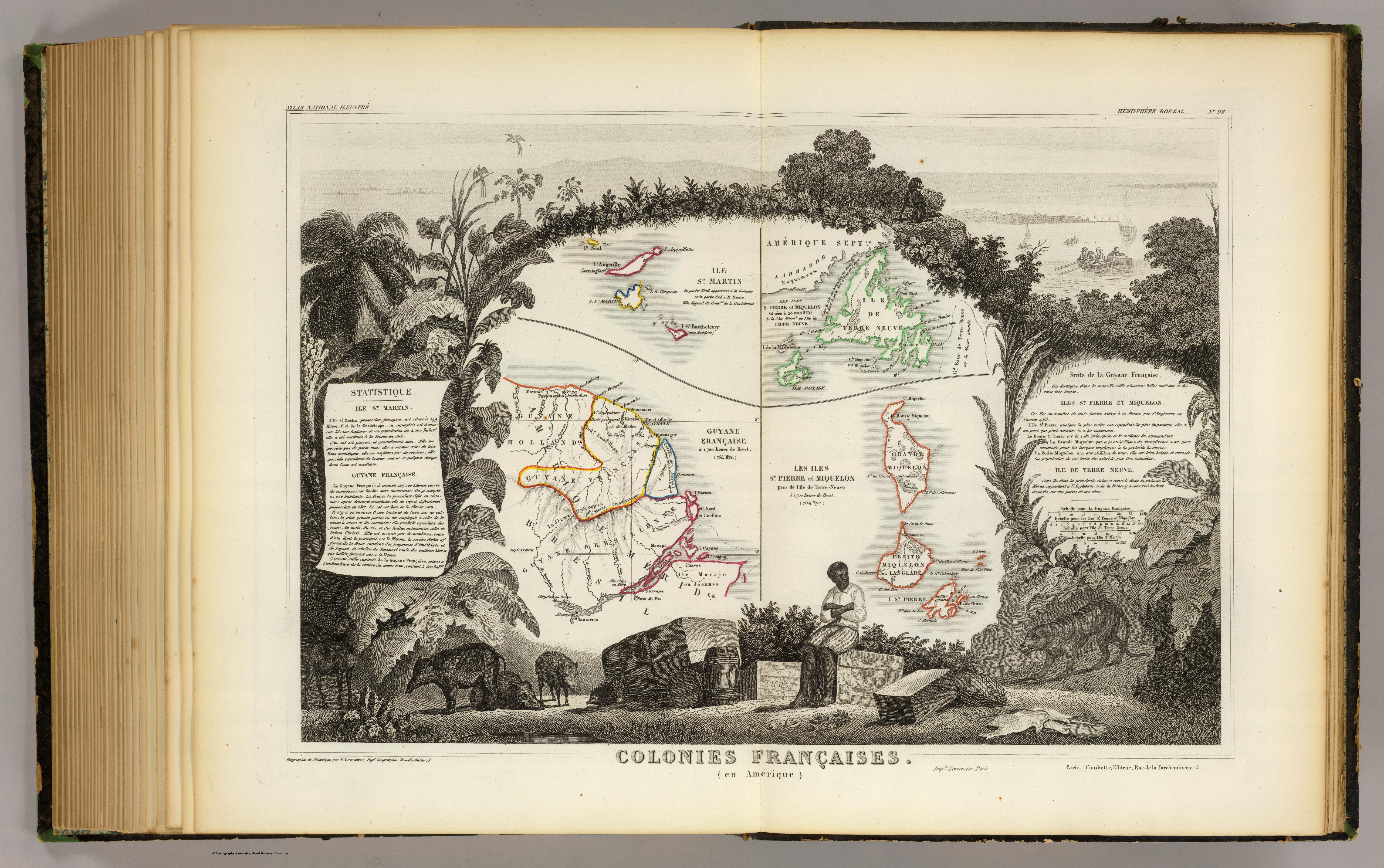
Colonies Francaises (en Amerique)
Mapa 1800 - 1899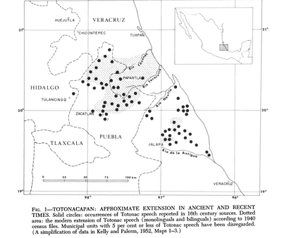
Totocanapan: Approximate Extension in Ancient and Recent Times
Mapa 1940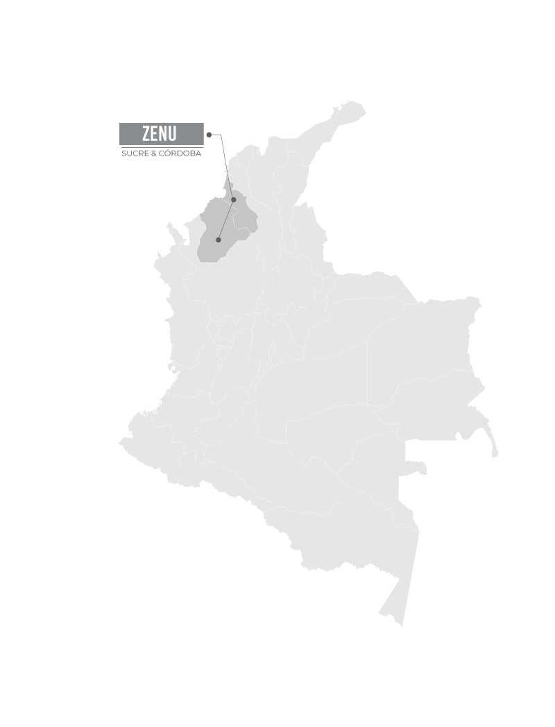
ZENU
Mapa
El punto de no retorno
Obra de Arte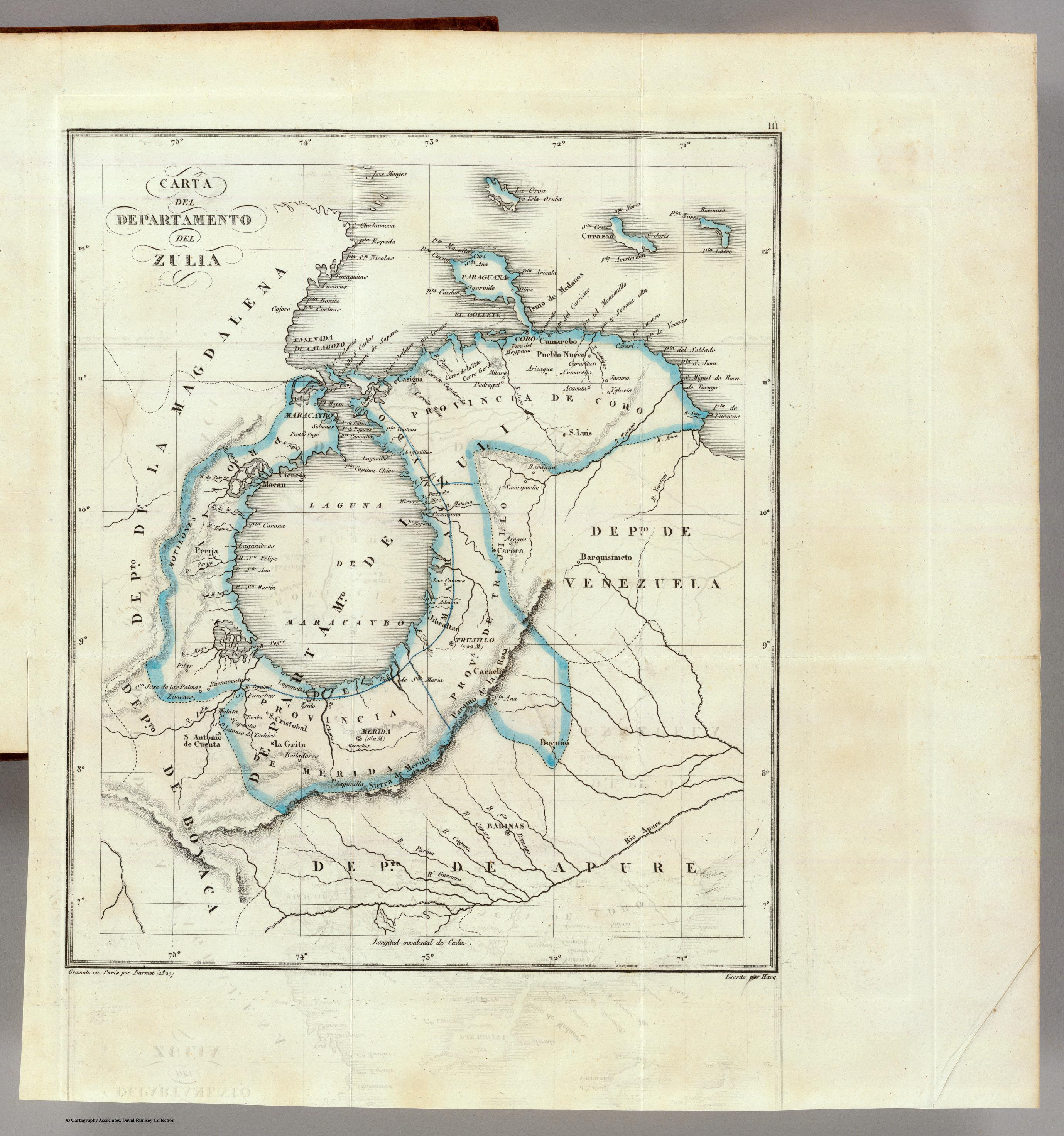
CARTA DEL DEPARTAMENTO DEL ZULIA
Mapa 1827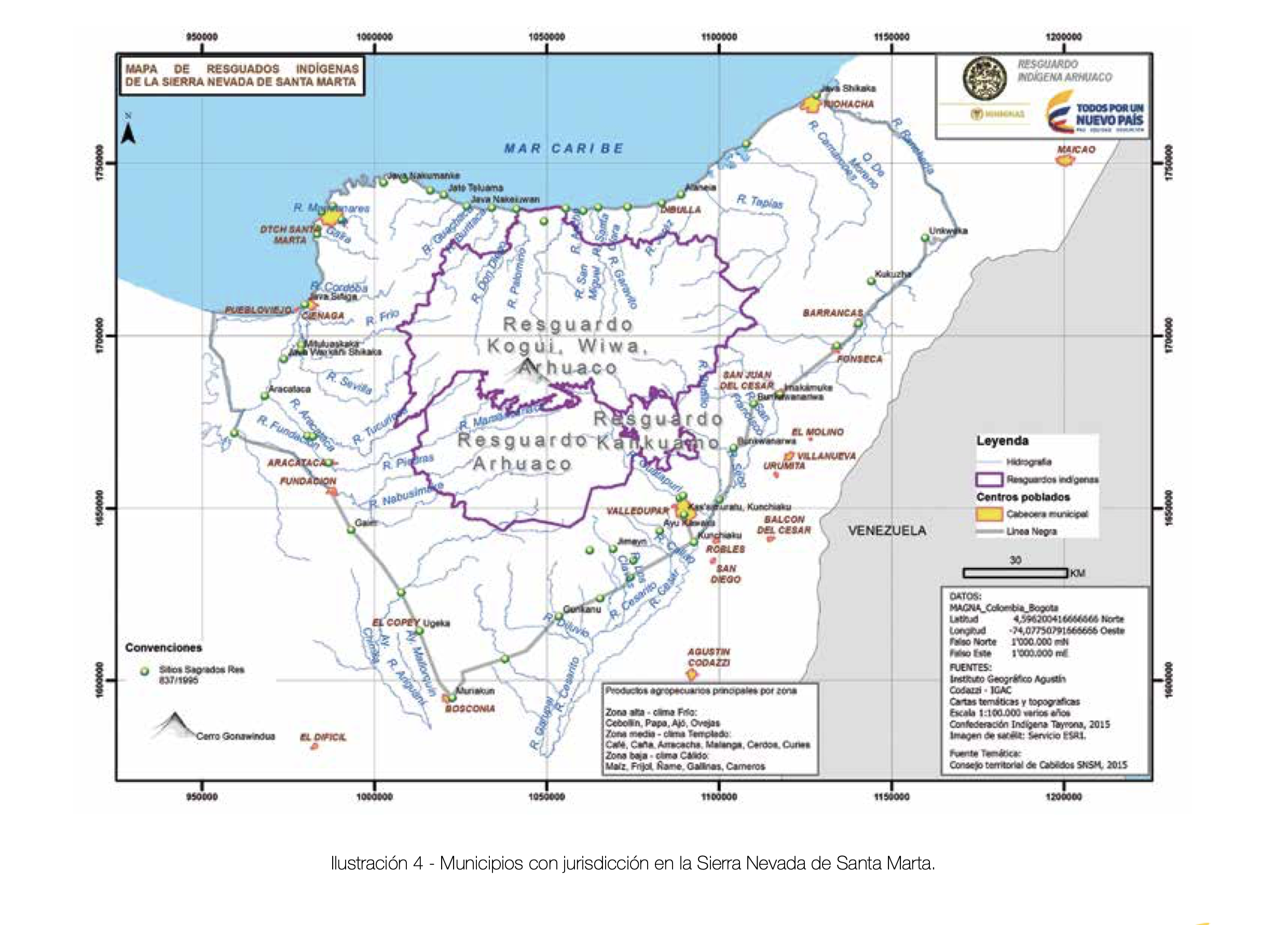
MUNICIPIOS CON JURISDICCION EN LA SIERRA NEVADA DE SANTA MARIA
Mapa 2015
A Sequel of the Seat of War in the West Indies containing… Sub-map title: A large & accurate MAP of part of the Isthmus of Panama, taken from a Spanish drought exhibiting the Country adjacent to that City and Puerto Bello, with the Roads and Course of the River CHAGRE, by which the Treasure of the South Sea is conveyed a cross the Isthmus
Mapa 1740