
Pueblos
- NAHUA
Cita
Instituto Nacional de los Pueblos Indígenas. "Distribución por Entidad Federativa." Atlas de los pueblos indígenas de México. http://atlas.inpi.gob.mx/distribucion-por-entidad-federativa/.

TAJO
Obra de Arte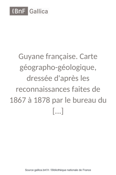
Guyane française. Carte géographo-géologique, dressée d'après les reconnaissances faites de 1867 à 1878 par le bureau du cadastre de Cayenne.
Mapa 1867 - 1878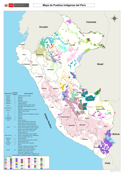
Mapa de Pueblos Indígenas del Perú
Mapa 2021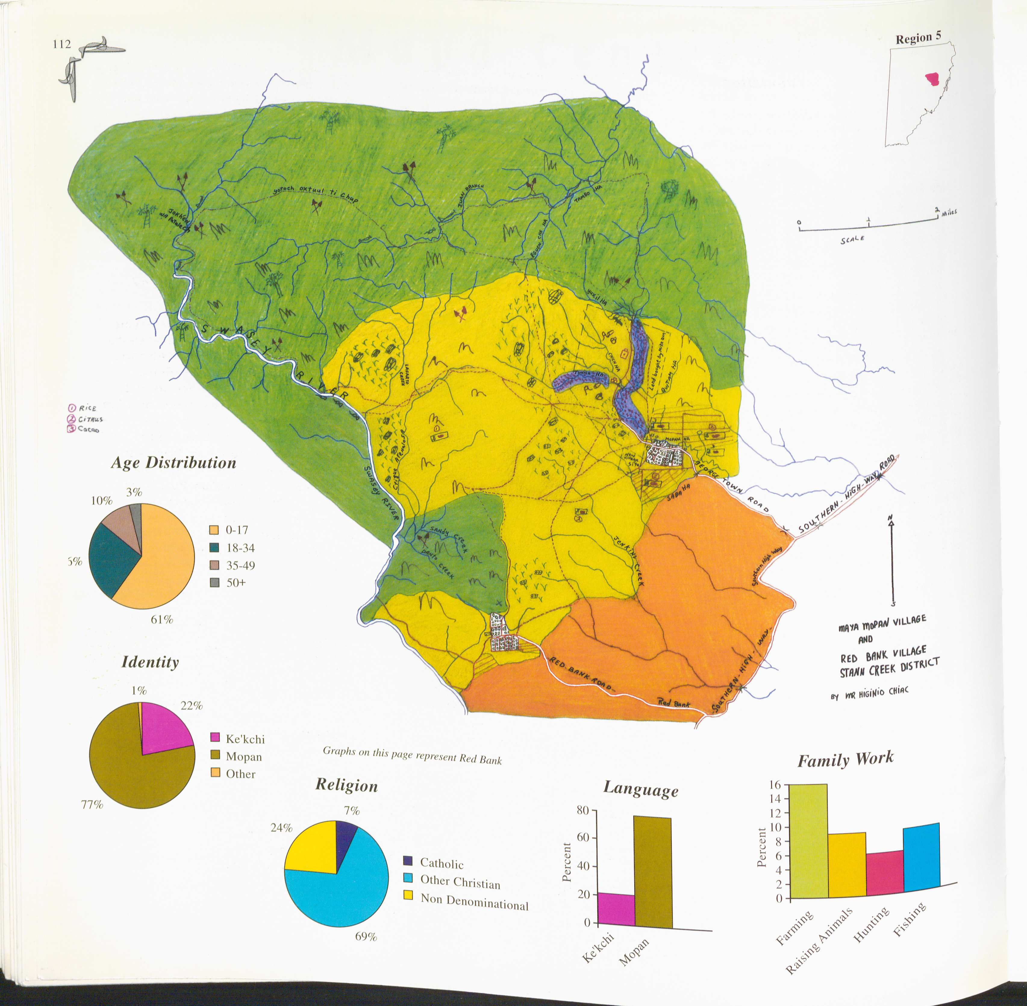
Red Bank and Maya Mopan
Mapa 1997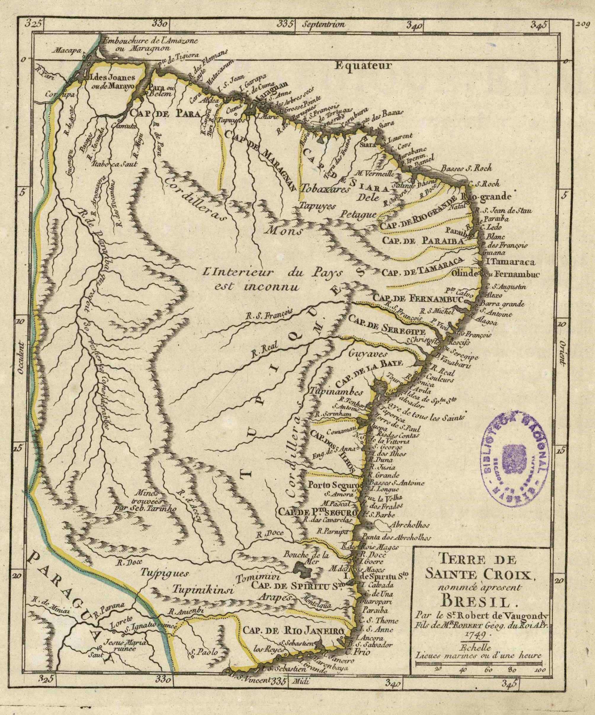
Terre de Sainte Croix, nommée apresent Bresil
Mapa 1749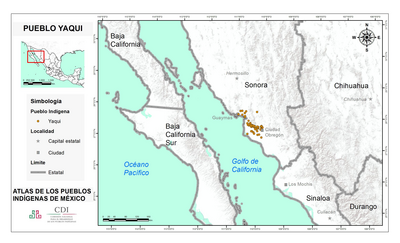
PUEBLO YAQUI
Mapa 2020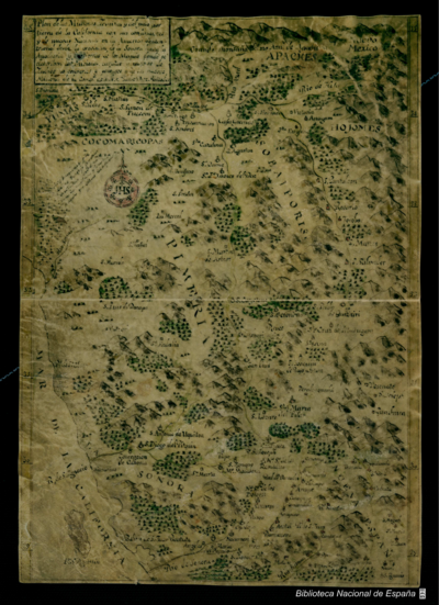
Plan de las Misiones Jesuitas y del paso por tierra de la California con sus confinantes y de nuevas Naciones en la America Septentrional desde la provincia de la Sonora hasta la Apacheria y las tierras de los Moquis donde se describen las Misiones curatos y pueblos de Indios no conversos y salvajes de las nuevas Misiones de la Compa. de J.h.s.
Mapa 1760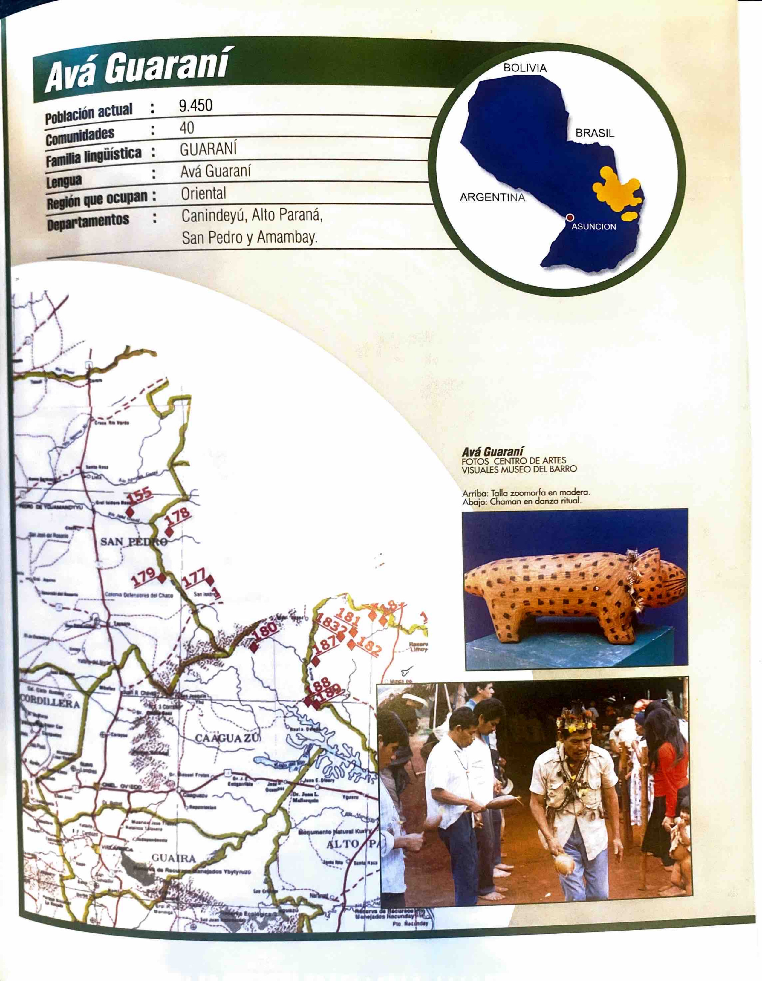
Avá Guaraní
Mapa 2001