
Pueblos
- COCHIMI
- CUCAPA
- KILIWA
- KUAHL
- KUMIAI
- PAIPAI
Cita
Instituto Nacional de los Pueblos Indígenas. "Distribución por Entidad Federativa." Atlas de los pueblos indígenas de México. http://atlas.inpi.gob.mx/distribucion-por-entidad-federativa/.
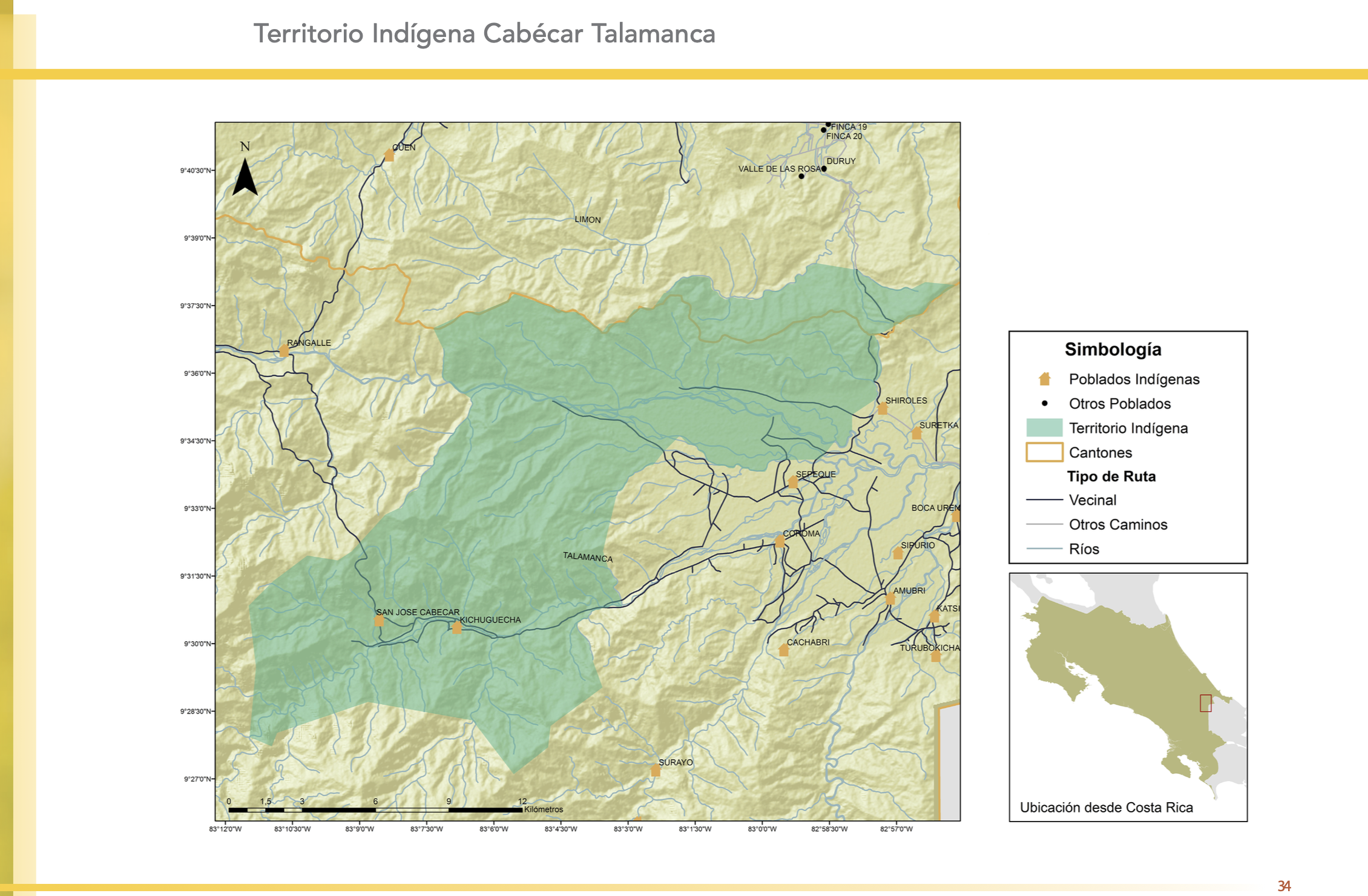
"Territorio Indígena Cabécar Talamanca"
Mapa 2010![[Carta particolare della costa di Guiana]](https://dnet8ble6lm7w.cloudfront.net/maps/CNT/CNT0213.jpg)
[Carta particolare della costa di Guiana]
Mapa 1600 - 1699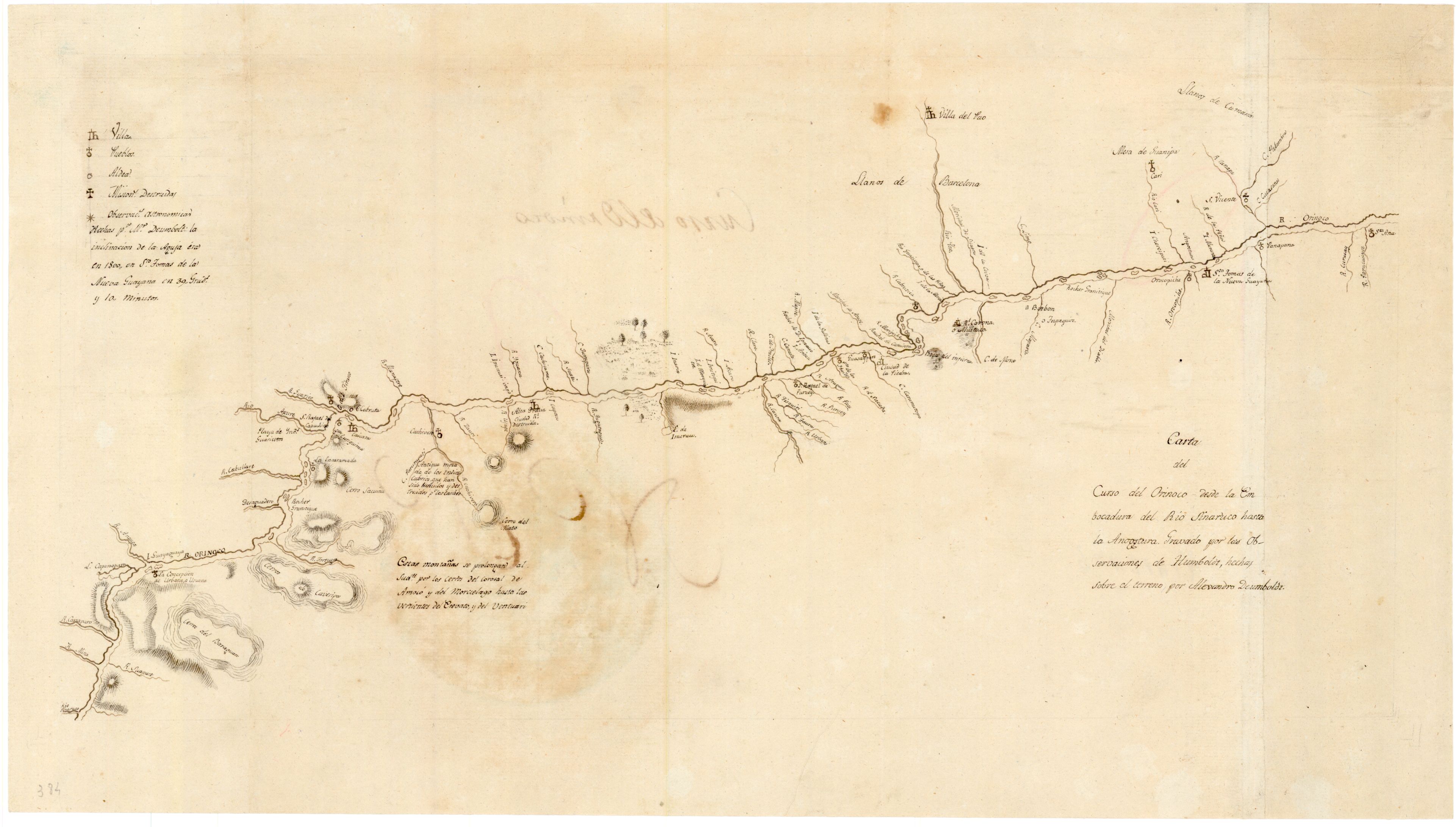
Carta del curso del Orinoco desde la Embocadura del Rio Sinaruco hasta la Angostura
Mapa 1800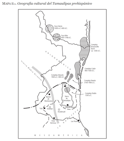
Geografia cultural del Tamaulipas prehispánico
Mapa -5000 - 599![Mapa generl. de la prova de Yndios Guagiros que llaman del Hacha [sic] : Situada entre las de Sta. Marta y Maracaibo, para la inteligencia de su exttenssion y limites, y la de colocacion de los nuevos pueblos a que se redugeron ultimamente los indios sublevados en el año de 1769, y las de otros que se deven fundar de yndios y de españoles en el resstto de la provincia para consseguir y mantener la pacificacion general de ella segun las órdenes del Exmo. Sr. Virrey de esstte nuevo reino Dn. Manuel Guirion acompañado de un discurso en el que se manifiesstta su essttado anttiguo, el pressentte y en el podra ponersse en adelantte](https://dnet8ble6lm7w.cloudfront.net/maps/COL/COL0090.jpg)
Mapa generl. de la prova de Yndios Guagiros que llaman del Hacha [sic] : Situada entre las de Sta. Marta y Maracaibo, para la inteligencia de su exttenssion y limites, y la de colocacion de los nuevos pueblos a que se redugeron ultimamente los indios sublevados en el año de 1769, y las de otros que se deven fundar de yndios y de españoles en el resstto de la provincia para consseguir y mantener la pacificacion general de ella segun las órdenes del Exmo. Sr. Virrey de esstte nuevo reino Dn. Manuel Guirion acompañado de un discurso en el que se manifiesstta su essttado anttiguo, el pressentte y en el podra ponersse en adelantte
Mapa 1773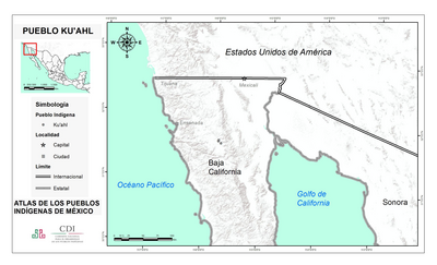
PUEBLO KU'AHL
Mapa 2020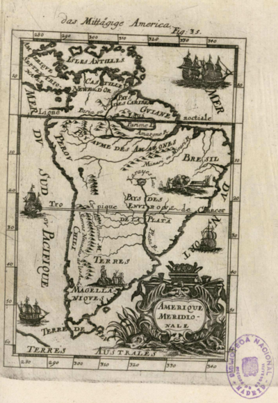
Amerique Meridionale
Mapa 1600 - 1699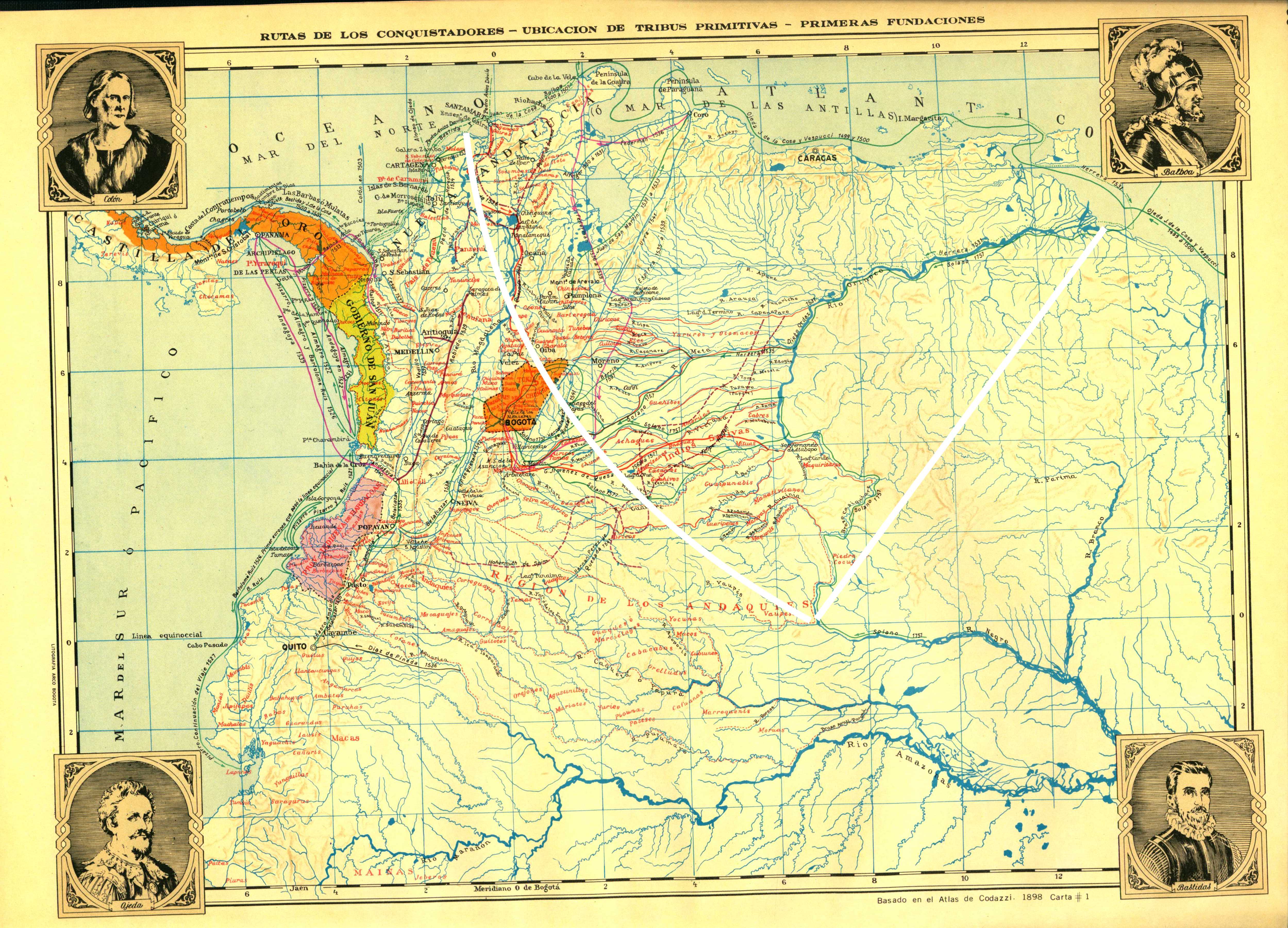
Rutas de los conquistadores. Ubicacion de tribus primitivas. Primeras fundaciones.
Mapa 1500 - 1599