
Cita
National Geographic Society. "Arquelogical Map of Middle America." The National Geographic Magazine, 1968. https://maps.lib.utexas.edu/maps/atlas_mexico/noted_archeological_sites.jpg.
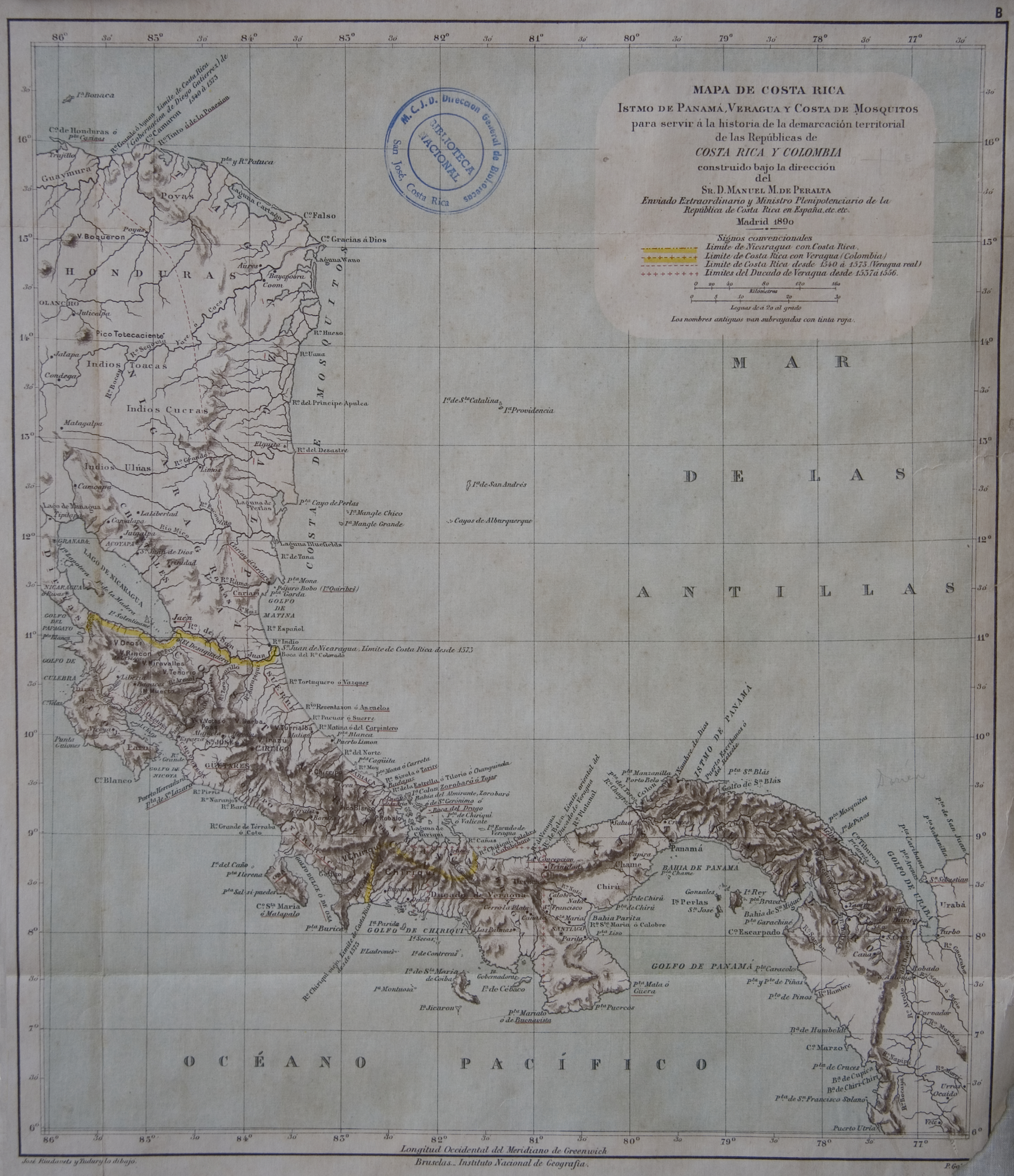
Mapa de Costa Rica, Veragua. Istmo de Panamá. y Costa de Mosquitos, para servir a la historia de la demarcacion territorial de las Republicas de Costa Rica y Colombia
Mapa 1800 - 1899
A Sequel of the Seat of War in the West Indies containing… Sub-map title: A large & accurate MAP of part of the Isthmus of Panama, taken from a Spanish drought exhibiting the Country adjacent to that City and Puerto Bello, with the Roads and Course of the River CHAGRE, by which the Treasure of the South Sea is conveyed a cross the Isthmus
Mapa 1740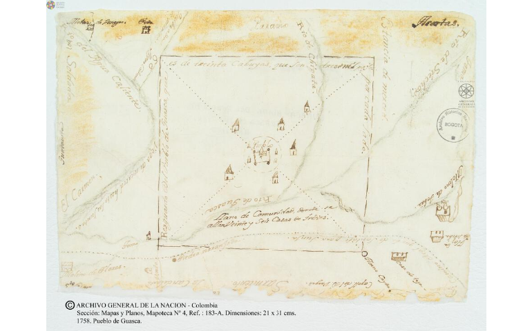
Pueblo de Guasca
Mapa 1758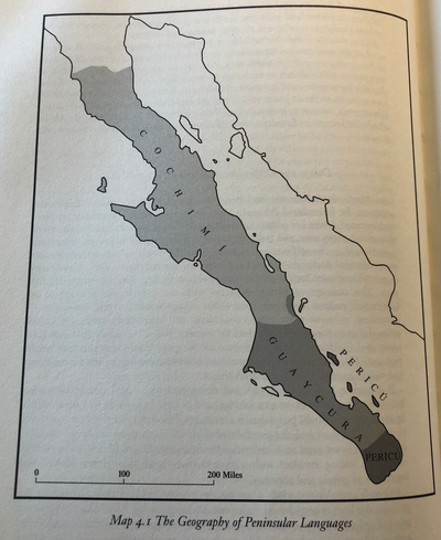
The Geography of Peninsular Languages
Mapa 1994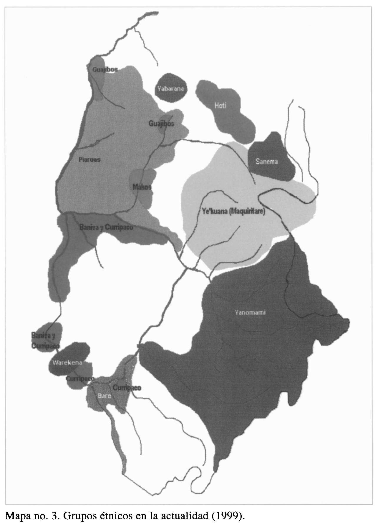
Grupos étnicos en la actualidad (1999)
Mapa 1999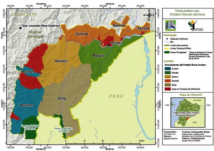
TERRITORIO DEL PUEBLO SHUAR ATRUAM
Mapa 2017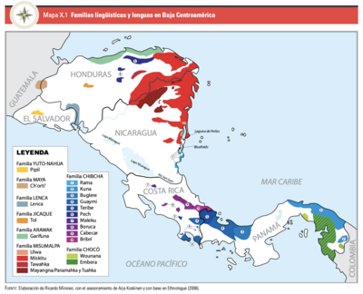
Familias lingüísticas y lenguas en Baja Centroamérica
Mapa 2006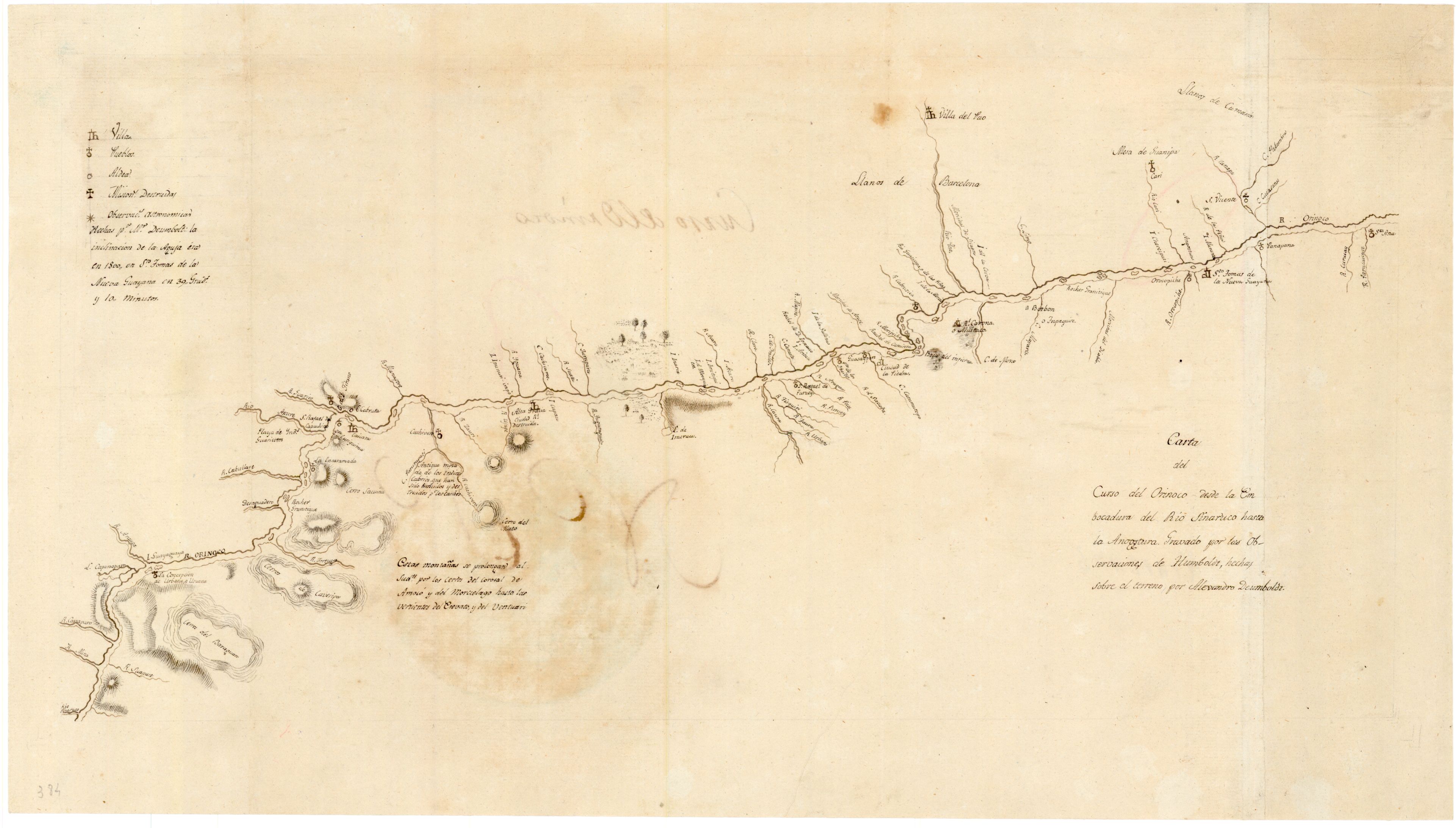
Carta del curso del Orinoco desde la Embocadura del Rio Sinaruco hasta la Angostura
Mapa 1800