
Cita
Tanck de Estrada, Dorothy. Atlas Ilustrado de los Pueblos de Indios: Nueva España, 1800. México: El Colegio de México, 2005. N/A - NO DIGITAL ACCESS
The Course of the River of Amazons.
Mapa 1600 - 1699
Indigenous provinces in El Salvador around 1500. (Adapted from Fowler 1989140-141, figure 5, with additional information from Lehman 1920:719, with modifications by the author.)
Mapa 1500
A Map of part of Yucatan or of that Part of the Eastern Shore Within the Bay of Honduras Alloted to Great Britain for the Cutting of Logwood, in consequence of the Convention Signed with Spain on the 14th July 1786.
Mapa 1700
2. THE JIBARO TRIBES
Mapa 1976 - 1978
PLANTA DO RIO URUBU
Mapa 1875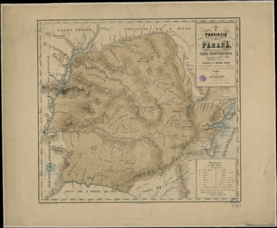
A PROVINCIA do PARANÁ. CARTA CHOROGRAFICA
Mapa 1866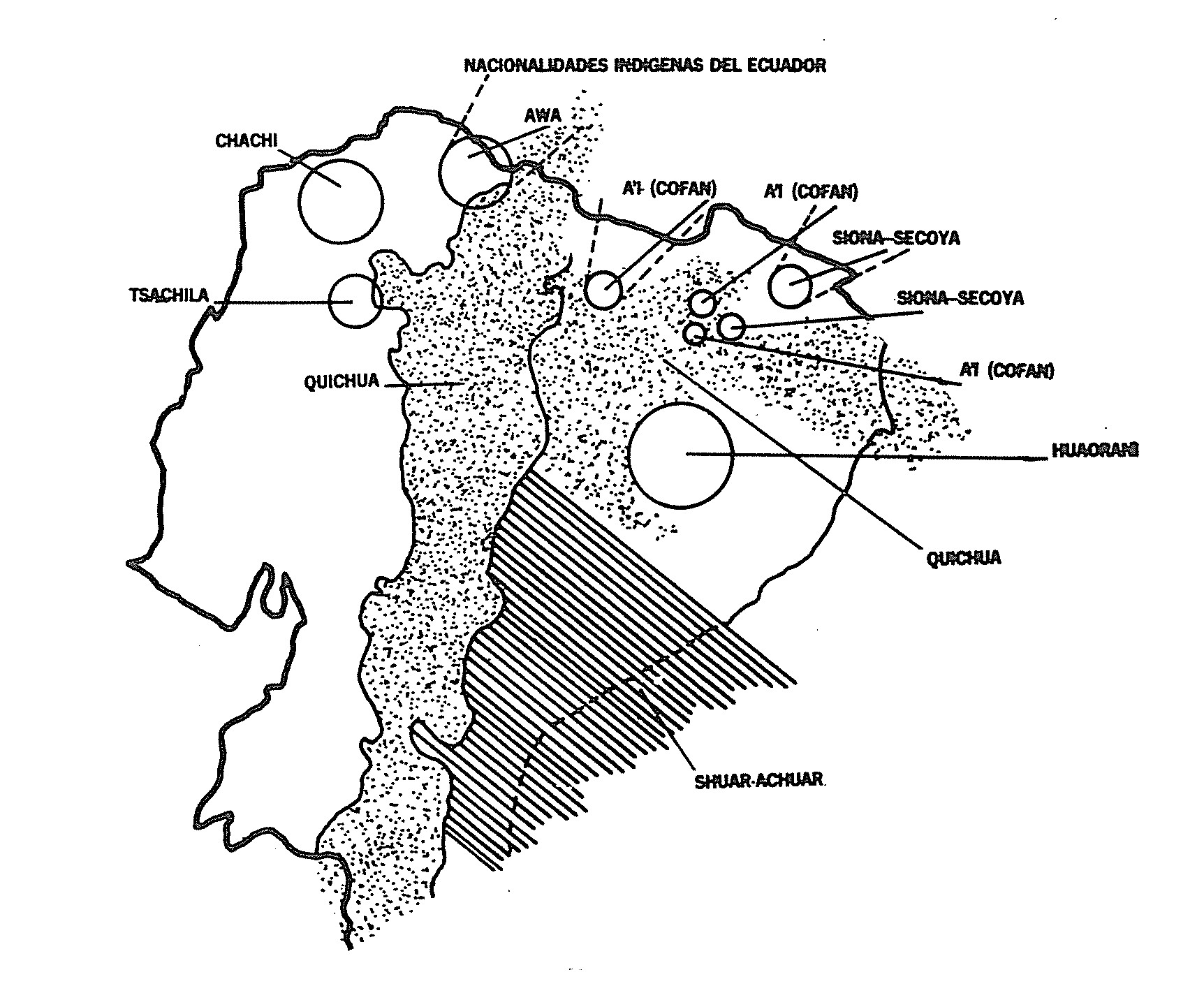
NACIONALIDADES INDÍGENAS DEL ECUADOR
Mapa 1988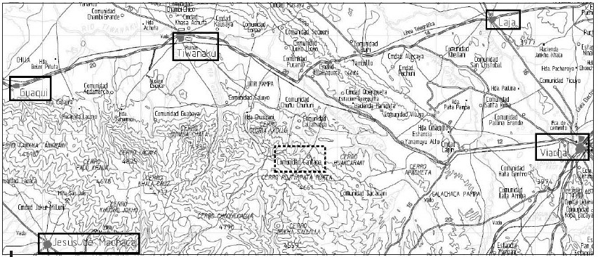
‘INDIAN ROYAL TOWNS’ (REDUCCIONES) AND SACRED SPACES UNDER SPANISH COLONIAL RULE IN THE TERRITORY OF THE PRE-COLONIAL AYMARA POLITY OF THE PAKAXA IN THE LATE 16TH CENTURY
Mapa 1570 - 1650