Cita
Tanck de Estrada, Dorothy. Atlas Ilustrado de los Pueblos de Indios: Nueva España, 1800. México: El Colegio de México, 2005. N/A - NO DIGITAL ACCESS
VENEZUELA
Mapa 1878
Location of three ethno-linguistic groups in the highlands of Guatemala in which joint InHerit-Riecken community-participant mapping took place. Adapted from http://d-maps. com/carte.php?num_car=1717&lang=en)
Mapa 2000
CARTA DA PROVINCIA DE S. PAULO
Mapa 1887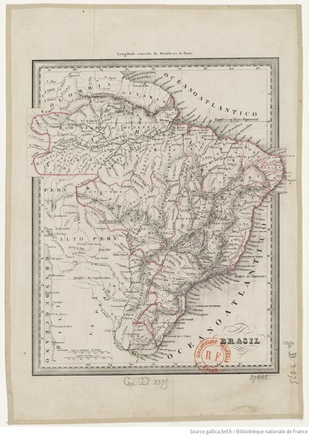
BRASIL
Mapa 1835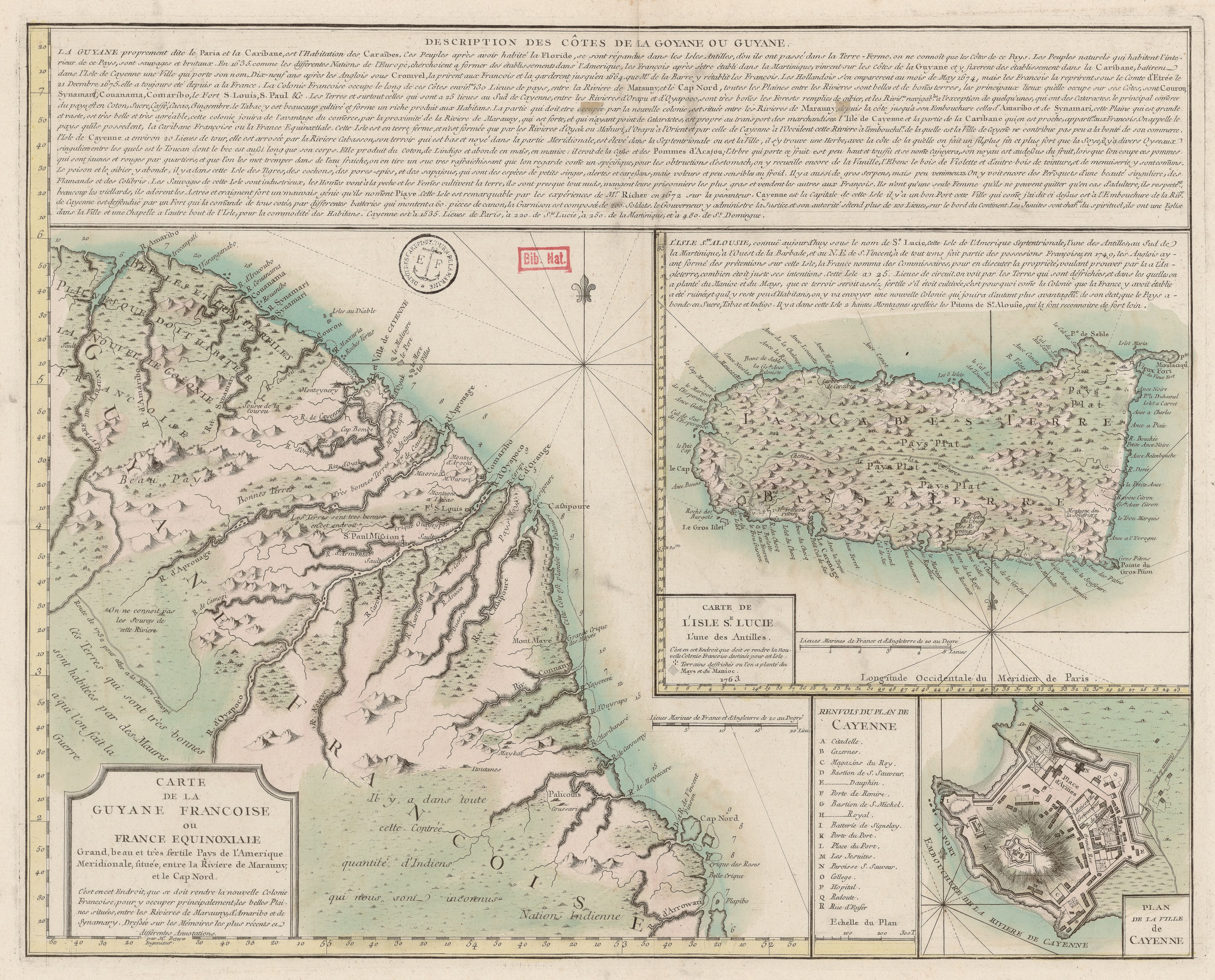
Carte de la Guyane Francoise ou France Equinoxiale. Grand, beau et très fertile Pays de l'Amerique Meridionale, située entre la Riviere de Marauny et le Cap Nord
Mapa 1763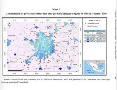
CONCENTRACIÓN DE POBLACION DE TRES Y MAS ANOS QUE HABLAN LENGUA INDÍGENA EN MÉRIDA, YUCATÁN, 2010
Mapa 2012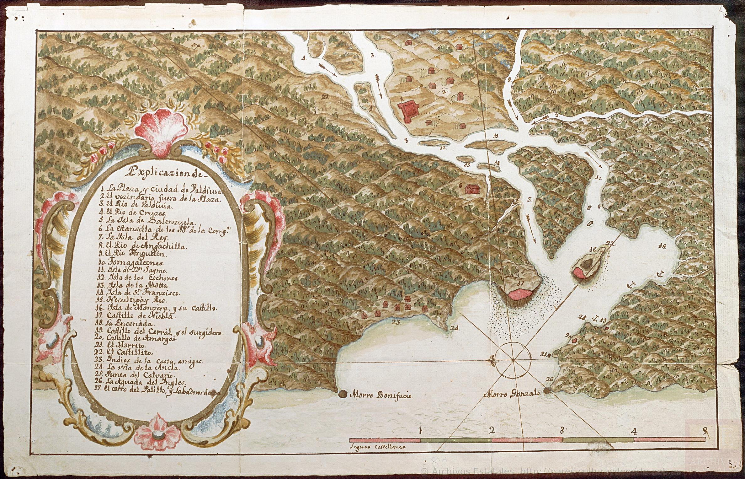
Mapa de la Ciudad de Valdivia y territorios de sus cercanías
Mapa 1785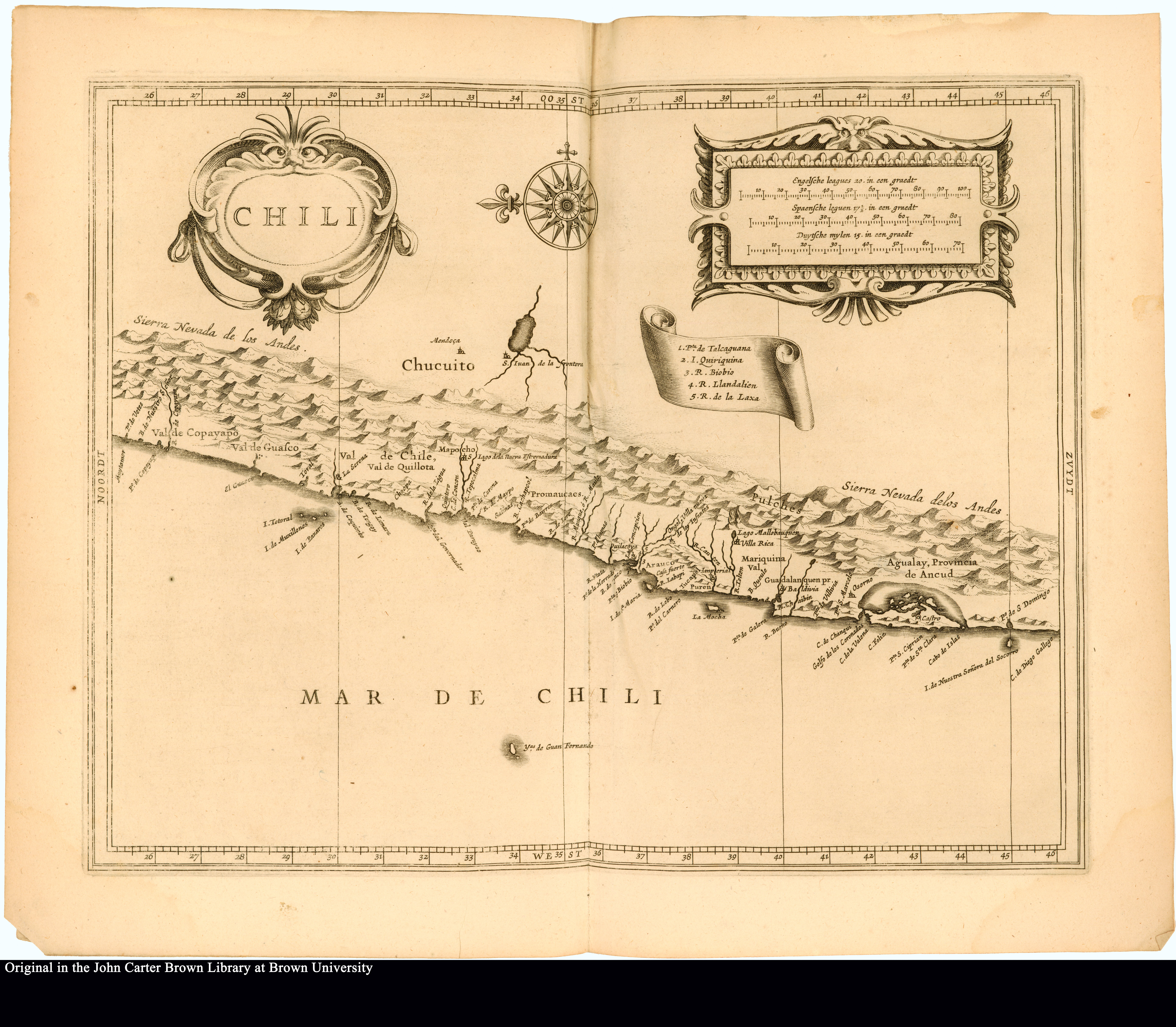
Chili
Mapa 1625