Dispossesions in the Americas

Dispossesions in the Americas

  • Inicio
  • Explorar
  • Autores
  • Sobre
  • Arte
  • Cuerpos
  • Planes de Estudio
  • Herencia Cultural
  • Mapas
  • Territorios
Volver a Explorar

Leyendo en Inglés

Mapa 2009

FAMILIAS LINGUÍSTICAS Y LENGUAS INDÍGENAS EN OASISAMÉRICA

  • RICARDO MIRONES

Publicado: 2009

  • Descargar Imágen
  • Descargar Imágen
Mapa 2009

FAMILIAS LINGUÍSTICAS Y LENGUAS INDÍGENAS EN OASISAMÉRICA

  • RICARDO MIRONES

Publicado: 2009

  • Descargar Imágen

Pueblos

  • CUCUPA
  • KUMIAI
  • KILIWA
  • PAI PAI
  • KIKPAOO
  • SERI
  • CORA
  • HUICHOL
  • PAPAGO
  • PIMA BAJO
  • TEPEHUANO DEL NORTE
  • TEPEHUANO DEL SUR
  • TARAHUMARA
  • GUARIJIO
  • YAQUI
  • MAYO

Citas

Gobierno de España Ministerio de Asuntos Exteriores y de Cooperación. Atlas Sociolingüístico de Pueblos Indígenas en América Latina. By UNICEF and FUNPROEIB Andes. Report no. 1. 2009. Accessed November 7, 2021. https://www.unicef.org/lac/media/9791/file/PDF%20Atlas%20sociolinguistico%20de%20pueblos%20ind%C3%ADgenas%20en%20ALC-Tomo%201.pdf.

  • Descargar Imágen

Artículos Relacionados

THE AYMARA POLITY OF THE LUPAQA: EASTERN INTER-ANDEAN VALLEY COLONIES UNDER INCA RULE 16TH CENTURY

THE AYMARA POLITY OF THE LUPAQA: EASTERN INTER-ANDEAN VALLEY COLONIES UNDER INCA RULE 16TH CENTURY

Mapa 1560 - 1567
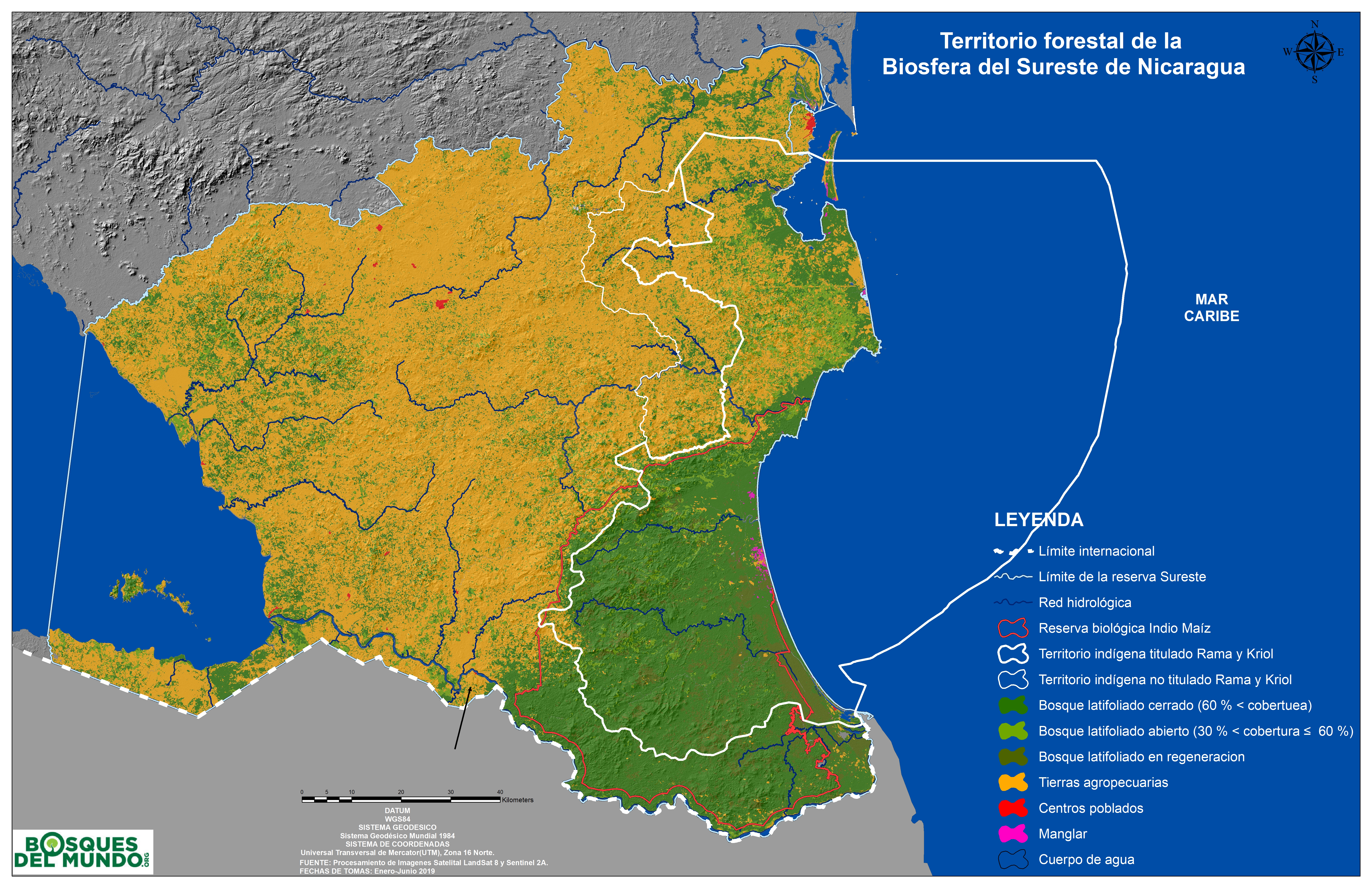
Regiones indígenas;afrodescendientes;y mestizas de Nicaragua

Regiones indígenas;afrodescendientes;y mestizas de Nicaragua

Mapa
PUEBLO NAHUA DE MICHOACAN

PUEBLO NAHUA DE MICHOACAN

Mapa 2020
Mapa IX.1 Familias y lenguas indígenas del Caribe Continental

Mapa IX.1 Familias y lenguas indígenas del Caribe Continental

Mapa 2009
Paskaerte vande cust van Westindien van R. Desaguadera tot C. de Honduras / beschreven door Arent Roggeveen

Paskaerte vande cust van Westindien van R. Desaguadera tot C. de Honduras / beschreven door Arent Roggeveen

Mapa 1675
The Spanish and Musketor shore and the bay of Honduras and the islands adjacent

The Spanish and Musketor shore and the bay of Honduras and the islands adjacent

Mapa 1735
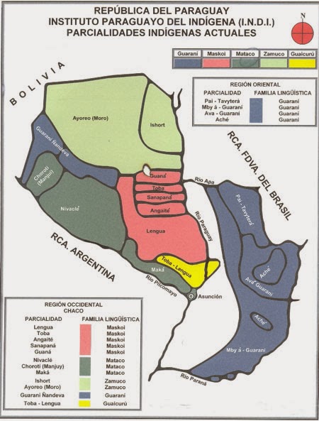
The Tribes of Southern South America;at the first European contact period

The Tribes of Southern South America;at the first European contact period

Mapa 1512
Le Paraguay;où les R.R.P.P. de la Compagnie de Jesus ont répandu leurs missions par le Sr. d'Anville;geographe ordre. du Roi;Octobre 1733

Le Paraguay;où les R.R.P.P. de la Compagnie de Jesus ont répandu leurs missions par le Sr. d'Anville;geographe ordre. du Roi;Octobre 1733

Mapa 1733

Despojos en las Américas

Un Proyecto de

University of Pennsylvania

Copyright 2024

Con el apoyo de

Mellon Foundation

Diseño y Desarrollo del Sitio

Element 84

Créditos Artísticos

Gobierno de España Ministerio de Asuntos Exteriores y de Cooperación. Atlas Sociolingüístico de Pueblos Indígenas en América Latina. By UNICEF and FUNPROEIB Andes. Report no. 1. 2009. Accessed November 7, 2021. https://www.unicef.org/lac/media/9791/file/PDF%20Atlas%20sociolinguistico%20de%20pueblos%20ind%C3%ADgenas%20en%20ALC-Tomo%201.pdf.
Páginas del Sitio

  • Inicio
  • Explorar
  • Autores
  • Sobre
  • Arte
  • Cuerpos
  • Planes de Estudio
  • Herencia Cultural
  • Mapas
  • Territorios