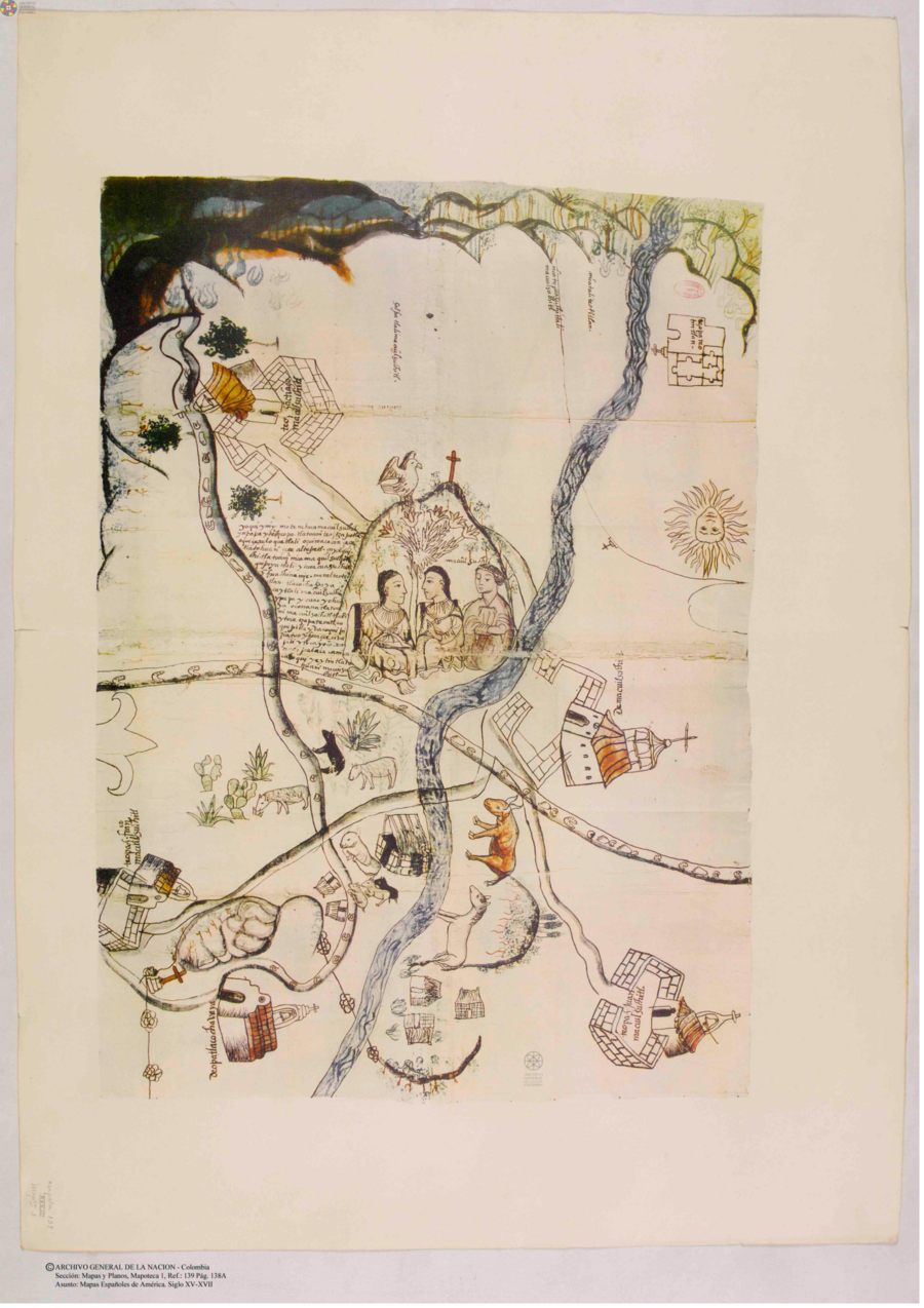
Cita
Mapas españoles de América, siglos XV-XVII. Madrid: Editorial Maestre, 1951. http://consulta.archivogeneral.gov.co/ConsultaWeb/imagenes.jsp?id=3251550&idNodoImagen=3251551&ini=1&total=410
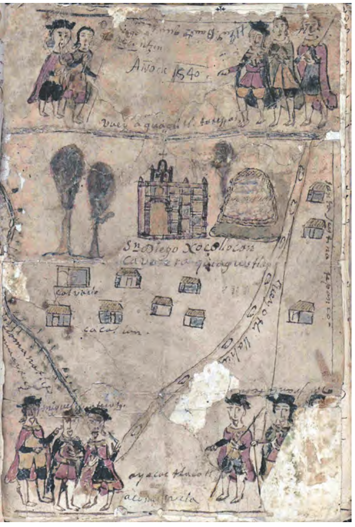
MAPA DE SAN DIEGO XOCOYUCAN
Mapa 1500 - 1599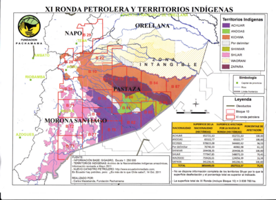
XI RONDA PETROLERA Y TERRITORIOS INDIGENAS
Mapa 2011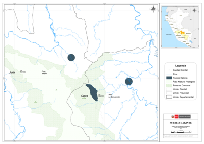
PUEBLO KAKINTE
Mapa 2021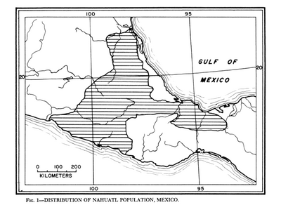
Distribution of Nahuatl Population, Mexico
Mapa 1969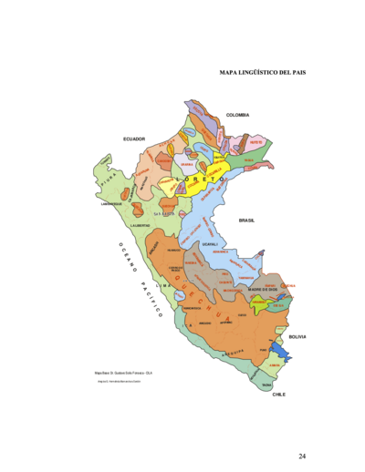
MAPA LINGÜÍSTICO DEL PAIS
Mapa 2009 - 2010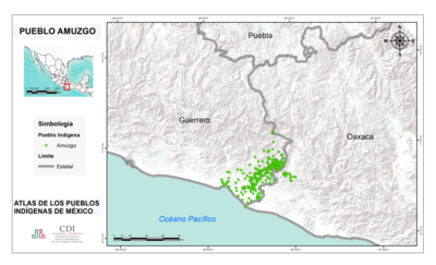
PUEBLO AMUZGO
Mapa 2020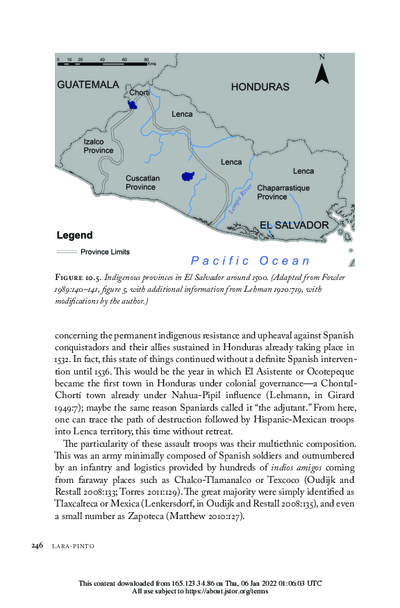
Indigenous provinces in El Salvador around 1500. (Adapted from Fowler 1989140-141, figure 5, with additional information from Lehman 1920:719, with modifications by the author.)
Mapa 1500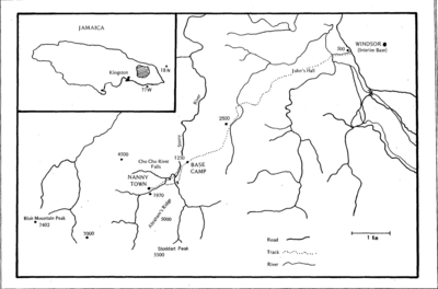
Map showing Windsor route to Base Camp and Nanny Town
Mapa