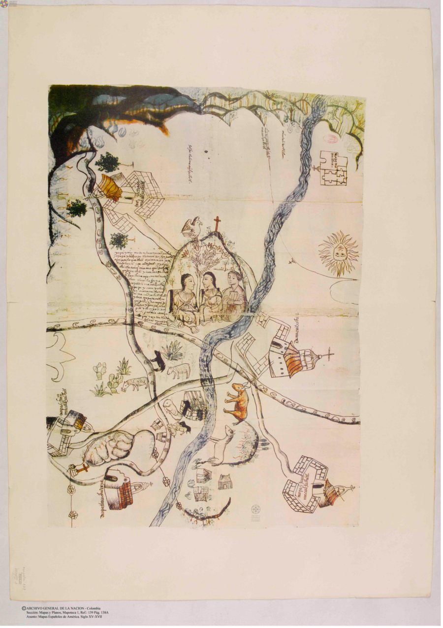
Cita
Mapas españoles de América, siglos XV-XVII. Madrid: Editorial Maestre, 1951. http://consulta.archivogeneral.gov.co/ConsultaWeb/imagenes.jsp?id=3251550&idNodoImagen=3251551&ini=1&total=410
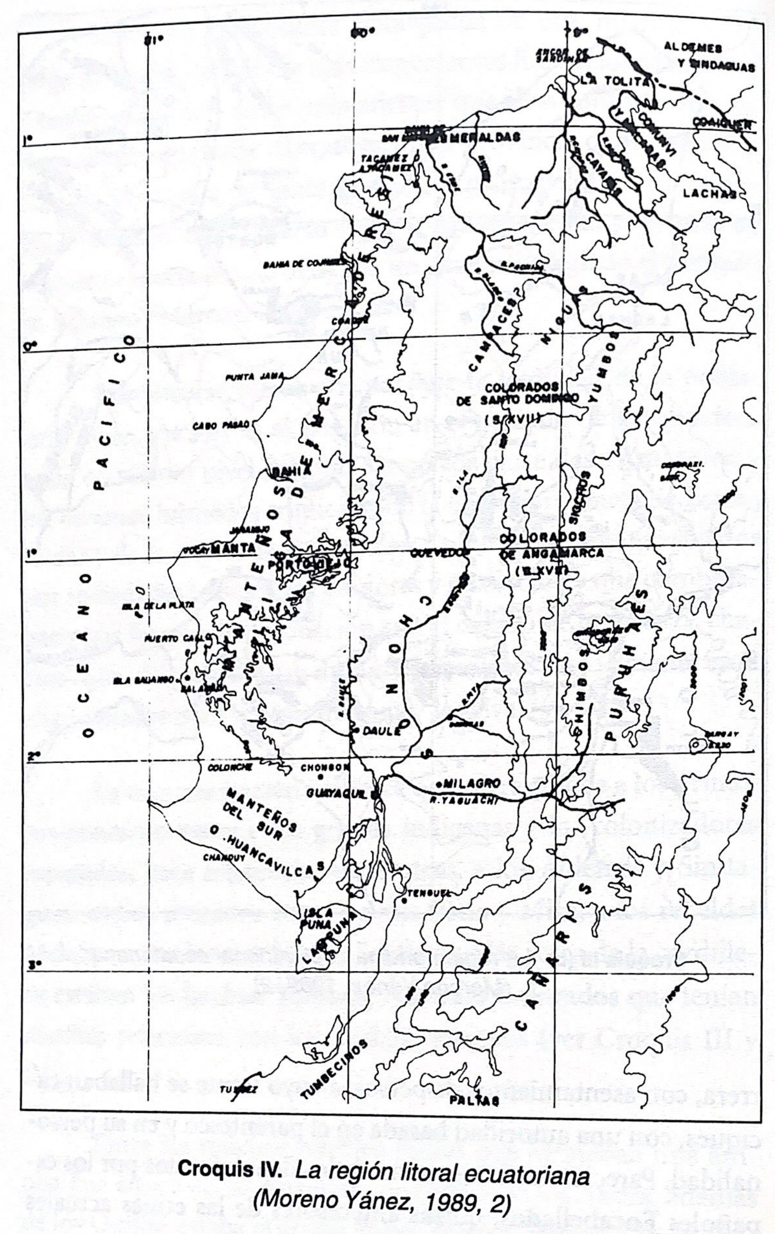
Croquis IV. La región litoral ecuatoriana (Moreno Yanez;1989;2)
Mapa -500 - 1530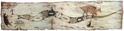
Sachamama
Obra de Arte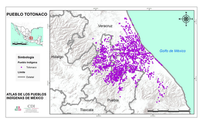
PUEBLO TOTONACO
Mapa 2020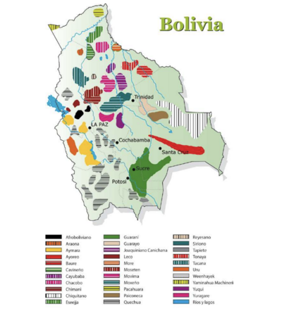
Mapa de los pueblos indigenas Bolivia
Mapa 2010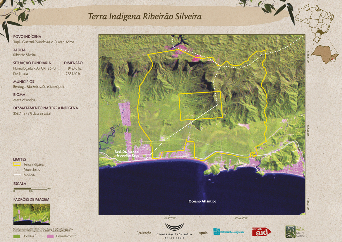
Terra Indígena Ribeirão Silveira
Mapa 2011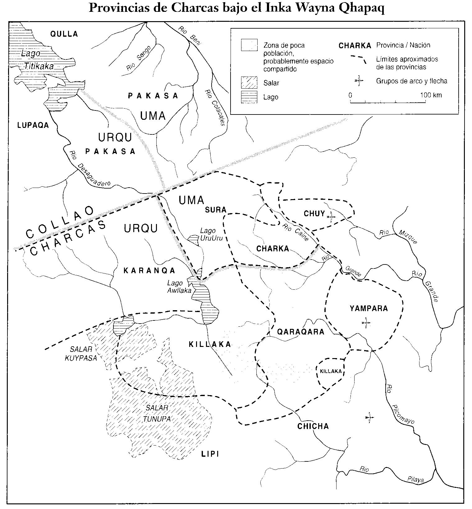
PROVINCIAS DEL QULLASUYU BAJO DOMINIO INCA PRINCIPIOS DEL SIGLO XVI
Mapa 1530 - 1540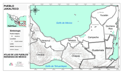
PUEBLO JAKALTECO
Mapa 2020
Monumento V
Obra de Arte