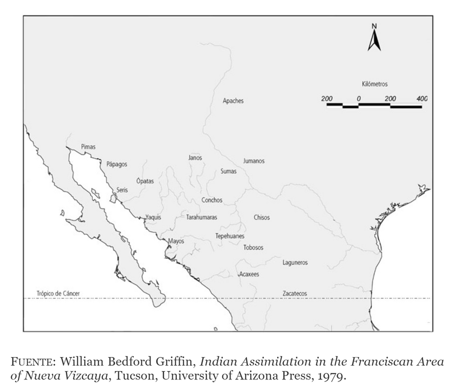
Dispossesions in the Americas

Dispossesions in the Americas

  • Inicio
  • Explorar
  • Autores
  • Sobre
  • Arte
  • Cuerpos
  • Planes de Estudio
  • Herencia Cultural
  • Mapas
  • Territorios
Volver a Explorar

Leyendo en Inglés

Mapa 1500 - 1599

DISTRIBUCIÓN DE LOS GRUPOS INDÍGENAS EN EL SIGLO XVI

  • LUIS ABOITES AGUILAR

Publicado: 1979

  • Descargar Imágen
  • Descargar Imágen
Mapa 1500 - 1599

DISTRIBUCIÓN DE LOS GRUPOS INDÍGENAS EN EL SIGLO XVI

  • LUIS ABOITES AGUILAR

Publicado: 1979

  • Descargar Imágen

Pueblos

  • PIMAS
  • JUMANOS
  • PAPAGOS
  • JANOS
  • OPATAS
  • SERIS
  • SUMAS
  • CONCHOS
  • YAQUIS
  • TARAHUMARAS
  • CHISOS
  • TEPEHUANES
  • MAYOS
  • TOBOSOS
  • ACAXEES
  • LAGUNEROS
  • ZACATECOS

Citas

Aboites Aguilar, Luis. Chihuahua: Historia breve. Ciudad de México: Fondo de Cultura Económica, 2016. https://www-digitaliapublishing-com.proxy.library.upenn.edu/visorepub/64111.

  • Descargar Imágen

Artículos Relacionados

Mapa general de la Republica de Guatemala. Publicado por Maximilian v. Sonnenstern por orden del gobierno, 1859. Printed by J. Rau, 33 Broadway, NY. G Kraetzer lith, East New York Long Island, N.Y. "Entered according to act of Congress in the year 1859 by M.v Sonnenster...New York. (insets) Plando de la Ciudad de Guatemala;and 6 releif profiles.

Mapa general de la Republica de Guatemala. Publicado por Maximilian v. Sonnenstern por orden del gobierno, 1859. Printed by J. Rau, 33 Broadway, NY. G Kraetzer lith, East New York Long Island, N.Y. "Entered according to act of Congress in the year 1859 by M.v Sonnenster...New York. (insets) Plando de la Ciudad de Guatemala;and 6 releif profiles.

Mapa 1800
Amerique Meridionale

Amerique Meridionale

Mapa 1600 - 1699
Peru

Peru

Mapa 1671
Language Groups of Baja California

Language Groups of Baja California

Mapa 1981
CAMINOS DEL KUWAI

CAMINOS DEL KUWAI

Mapa 1399
CARTA COROGRÁFICA DE JALISCO, ZACATECAS Y COLIMA

CARTA COROGRÁFICA DE JALISCO, ZACATECAS Y COLIMA

Mapa 1824
FACSIMILE: PART OF SOUTH AMERICA BY DE VAUGONDY

FACSIMILE: PART OF SOUTH AMERICA BY DE VAUGONDY

Mapa 1750
SKETCH MAP OF THE CAPUCHIN MISSIONS IN GUAYANA ABOUT 1779

SKETCH MAP OF THE CAPUCHIN MISSIONS IN GUAYANA ABOUT 1779

Mapa 1779

Despojos en las Américas

Un Proyecto de

University of Pennsylvania

Copyright 2024

Con el apoyo de

Mellon Foundation

Diseño y Desarrollo del Sitio

Element 84

Créditos Artísticos

Aboites Aguilar, Luis. Chihuahua: Historia breve. Ciudad de México: Fondo de Cultura Económica, 2016. https://www-digitaliapublishing-com.proxy.library.upenn.edu/visorepub/64111.

Páginas del Sitio

  • Inicio
  • Explorar
  • Autores
  • Sobre
  • Arte
  • Cuerpos
  • Planes de Estudio
  • Herencia Cultural
  • Mapas
  • Territorios