Dispossesions in the Americas

Dispossesions in the Americas

  • Inicio
  • Explorar
  • Autores
  • Sobre
  • Arte
  • Cuerpos
  • Planes de Estudio
  • Herencia Cultural
  • Mapas
  • Territorios
Volver a Explorar

Leyendo en Inglés

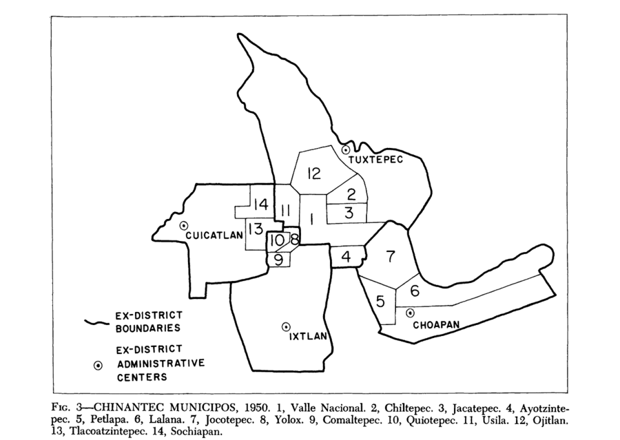
Mapa 1950

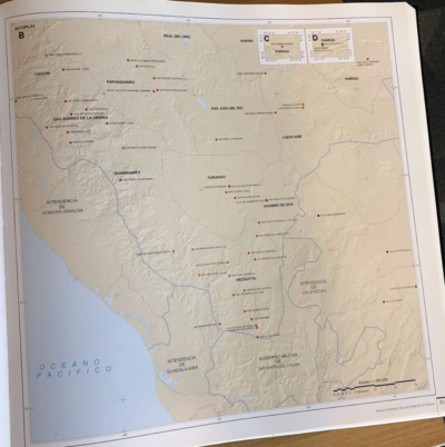
Chinantec Municipios, 1950

  • ROBERTO J WEITLANER, HOWARD F CLINE

Publicado: 1969

  • Descargar Imágen
  • Descargar Imágen
Mapa 1950

Chinantec Municipios, 1950

  • ROBERTO J WEITLANER, HOWARD F CLINE

Publicado: 1969

  • Descargar Imágen

Pueblos

  • CHINANTEC

Citas

Weitlaner, Roberto J., and Howard F. Cline. "The Chinantec." In Ethnology, edited by Robert Wauchope and Evon Z. Vogt, 523. Vols. 7-8 of Handbook of Middle American Indians. Austin: University of Texas Press, 1969. https://ebookcentral-proquest-com.proxy.library.upenn.edu/lib/upenn-ebooks/reader.action?docID=4826335&ppg=544.
  • Descargar Imágen

Artículos Relacionados

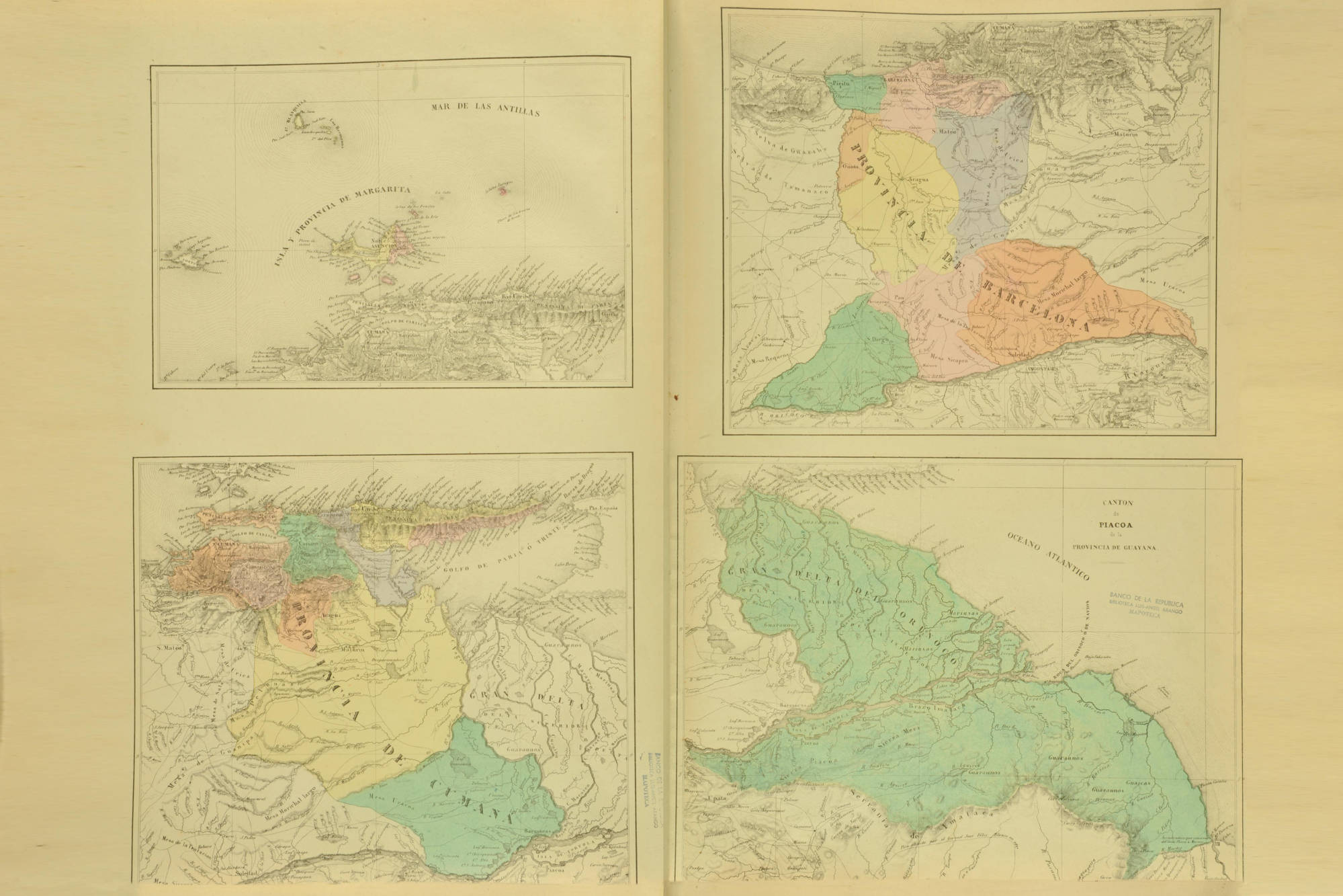
CARTE DE LA CAPITAINERIE GENERALE DE CARACAS Comprenant les Provinces de Venezuela;Maracaibo;Varinas;Cumana;la Guiane;et Isle de la Margeurite;Pour servir au Voyage a la partie oriental de la Terre Ferme dans l'Amerique Meridionale

CARTE DE LA CAPITAINERIE GENERALE DE CARACAS Comprenant les Provinces de Venezuela;Maracaibo;Varinas;Cumana;la Guiane;et Isle de la Margeurite;Pour servir au Voyage a la partie oriental de la Terre Ferme dans l'Amerique Meridionale

Mapa 1801 - 1805
Rutas de los conquistadores. Ubicacion de tribus primitivas. Primeras fundaciones.

Rutas de los conquistadores. Ubicacion de tribus primitivas. Primeras fundaciones.

Mapa 1500 - 1599
Carte de la dépendance du Yapok jusqu'à la rivière des Amazones.

Carte de la dépendance du Yapok jusqu'à la rivière des Amazones.

Mapa 1600 - 1699
DESCRIPCIÓN GEOGRAPHICA E HIDORGRÁPHICA DEL GOVIERNO DE VENEZUELA I SUS PROVINCIAS

DESCRIPCIÓN GEOGRAPHICA E HIDORGRÁPHICA DEL GOVIERNO DE VENEZUELA I SUS PROVINCIAS

Mapa 1634
PUEBLO KILIWA

PUEBLO KILIWA

Mapa 2020
CARTA DO SUL DO IMPERIO BRASIL, comprehandendo as PROVINCIAS RIO GRANDE do SUL, STA. CATHARINA e PARANA

CARTA DO SUL DO IMPERIO BRASIL, comprehandendo as PROVINCIAS RIO GRANDE do SUL, STA. CATHARINA e PARANA

Mapa 1885
[Partie de l'Oyapock]

[Partie de l'Oyapock]

Mapa 1700 - 1799
Carta Del Gran Chaco e Paesi Confinanti

Carta Del Gran Chaco e Paesi Confinanti

Mapa 1700 - 1767

Despojos en las Américas

Un Proyecto de

University of Pennsylvania

Copyright 2024

Con el apoyo de

Mellon Foundation

Diseño y Desarrollo del Sitio

Element 84

Créditos Artísticos

Weitlaner, Roberto J., and Howard F. Cline. “The Chinantec.” In Ethnology, edited by Robert Wauchope and Evon Z. Vogt, 523. Vols. 7-8 of Handbook of Middle American Indians. Austin: University of Texas Press, 1969. https://ebookcentral-proquest-com.proxy.library.upenn.edu/lib/upenn-ebooks/reader.action?docID=4826335&ppg=544.
Páginas del Sitio

  • Inicio
  • Explorar
  • Autores
  • Sobre
  • Arte
  • Cuerpos
  • Planes de Estudio
  • Herencia Cultural
  • Mapas
  • Territorios