
Pueblos
- NAHUA DE MICHOACAN
Cita
Instituto Nacional de los Pueblos Indígenas. "Nahuas de Michoacán – Ubicación." Atlas de los Pueblos Indígenas de México. http://atlas.inpi.gob.mx/nahuas-de-michoacan-ubicacion/.

A Sequel of the Seat of War in the West Indies containing… Sub-map title: A large & accurate MAP of part of the Isthmus of Panama, taken from a Spanish drought exhibiting the Country adjacent to that City and Puerto Bello, with the Roads and Course of the River CHAGRE, by which the Treasure of the South Sea is conveyed a cross the Isthmus
Mapa 1740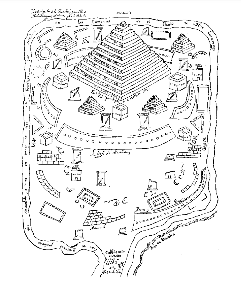
Planta regular de la fortaleza y castillo de Huehuetenango, sobre las márgenas de Socoleo.
Mapa 1672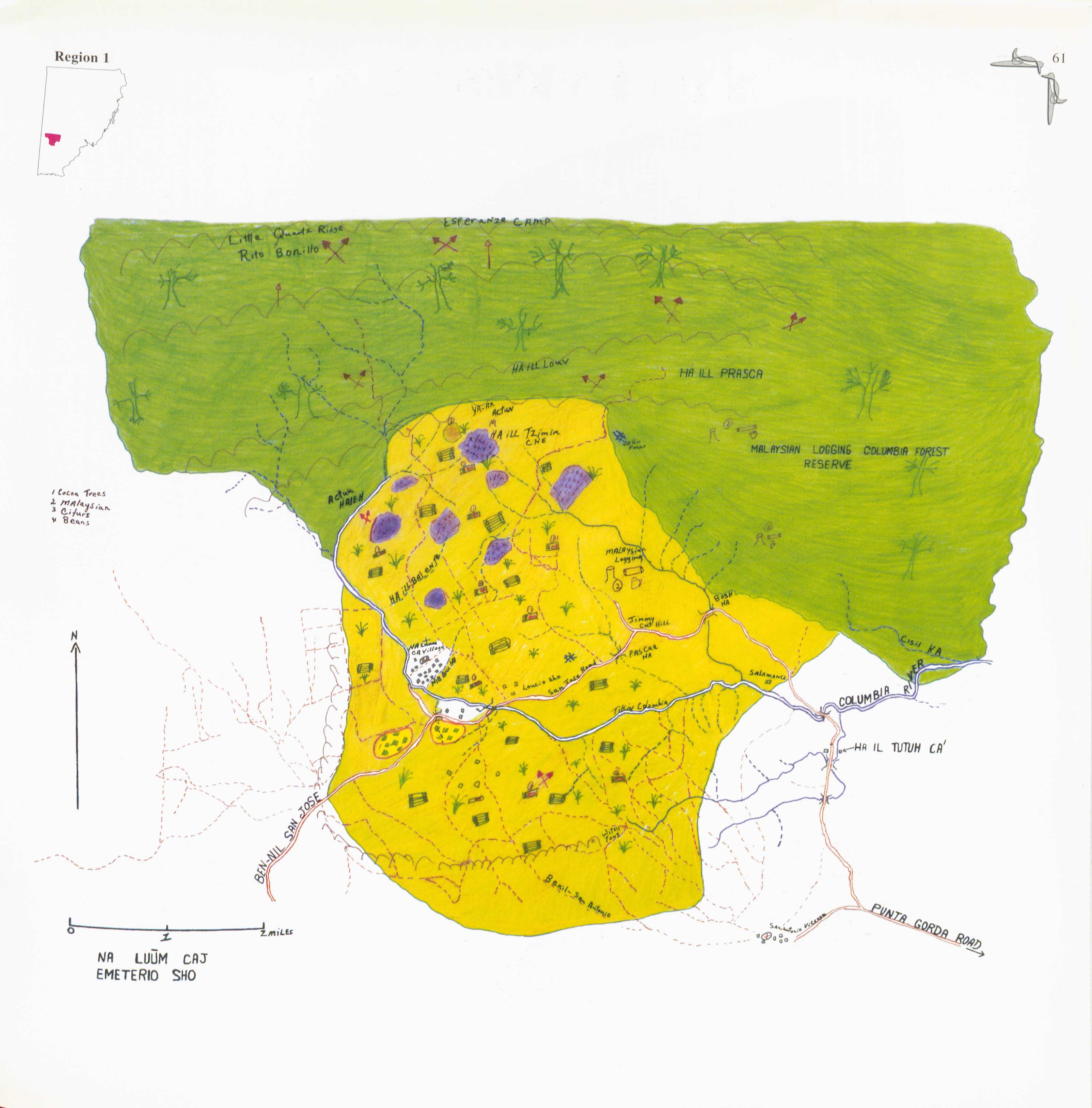
Na Luum Caj
Mapa 1997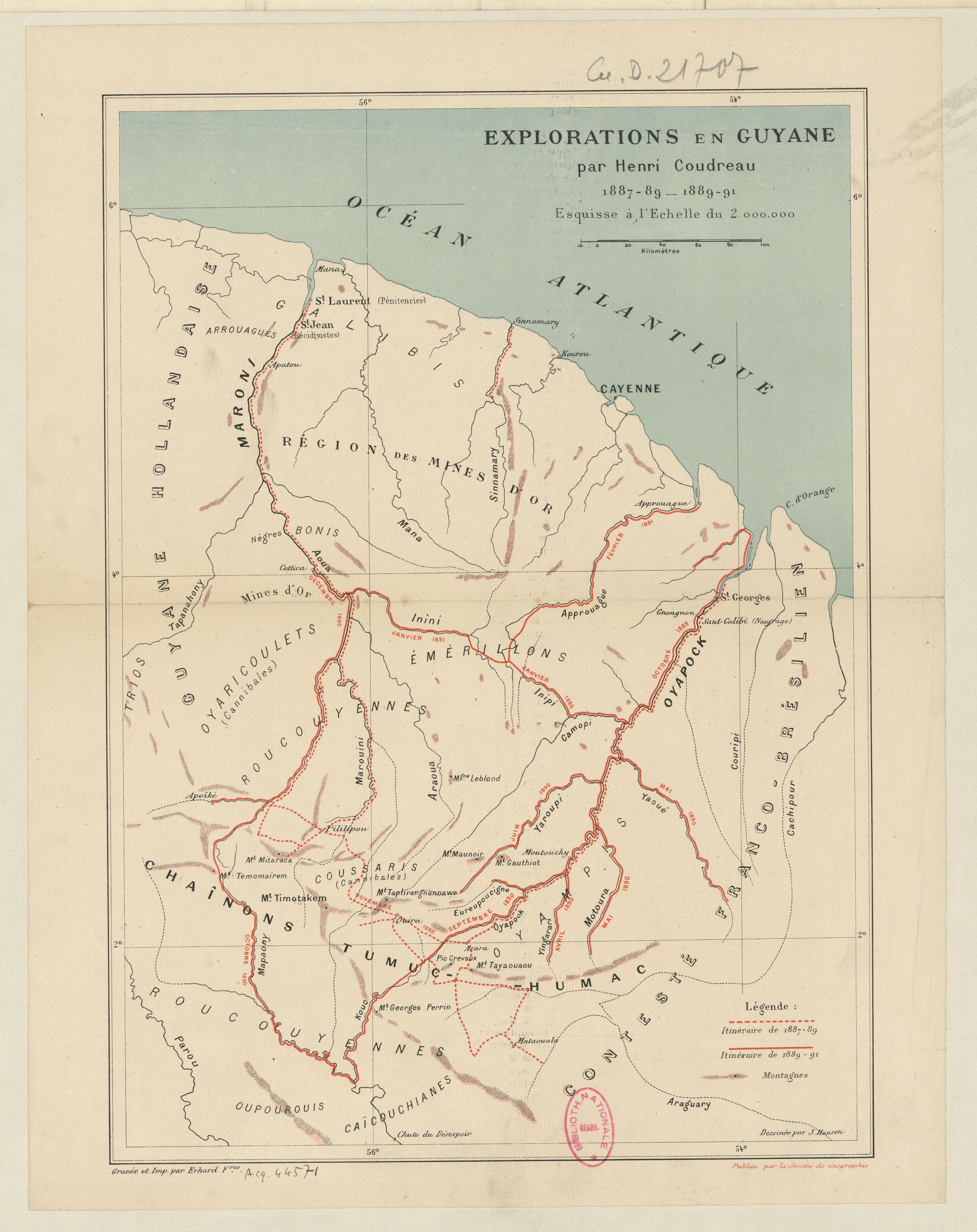
Explorations de la Guyane par Henri Coudreau, 1887-89, 1889-91.
Mapa 1887 - 1891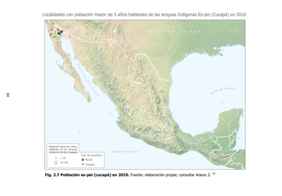
Población es-pei (cucupá) en 2010
Mapa 2010
Ogiva
Obra de Arte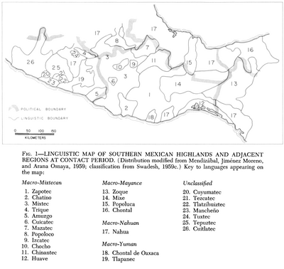
Linguistic Map of Southern Mexican Highlands and Adjacent Regions at Contact Period
Mapa 1969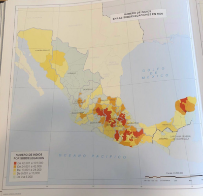
NÚMERO DE INDIOS EN LAS SUBDELEGACIONES EN 1800
Mapa 1800