
Pueblos
- NAHUA DE JALISCO
Cita
Instituto Nacional de los Pueblos Indígenas. "Nahuas de Jalisco – Ubicación." Atlas de los Pueblos Indígenas de México. http://atlas.inpi.gob.mx/nahuas-de-jalisco-ubicacion/.
Carte de l'Isle de Cayenne et de ses environs
Mapa 1764
AMERICA KARATE VON LAUFE DES ORENOCO DES ATABAPO DES CASIQUIARE UND DES RIO NEGRO
Mapa 1850
Lamento Guaraní
Obra de Arte
Indigenous provinces in El Salvador around 1500. (Adapted from Fowler 1989140-141, figure 5, with additional information from Lehman 1920:719, with modifications by the author.)
Mapa 1500
AMERIQUE MERIDIONALE: BRESIL AUX PORTUGAIS: CAPITAINERIE DE RIO-IANEIRO
Mapa 1757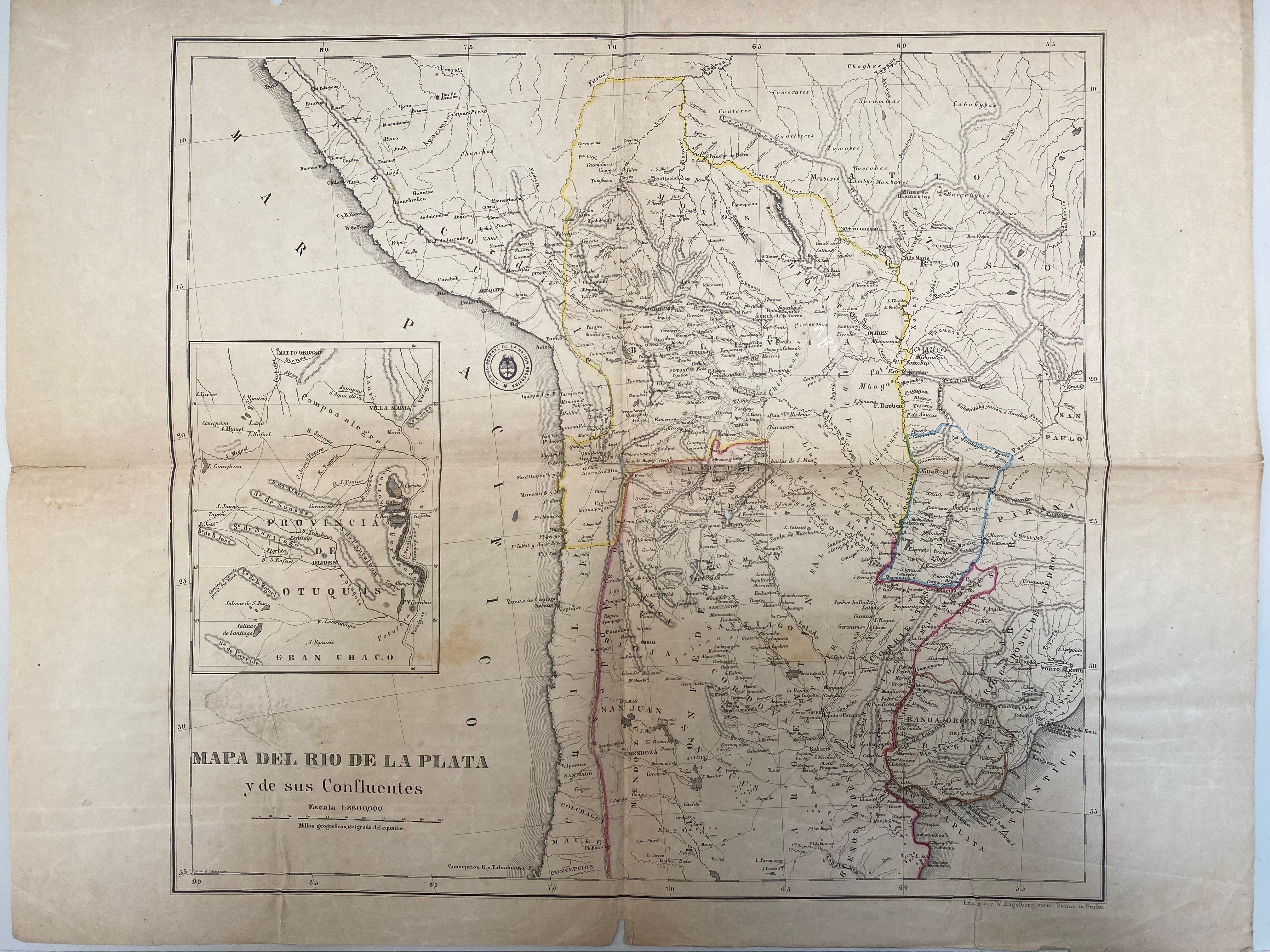
A New Map of Part /of the Great River / De la Plata, /of Tucuman / and the adjacent Countries, from Buenos Ayres to Potosí
Mapa 1716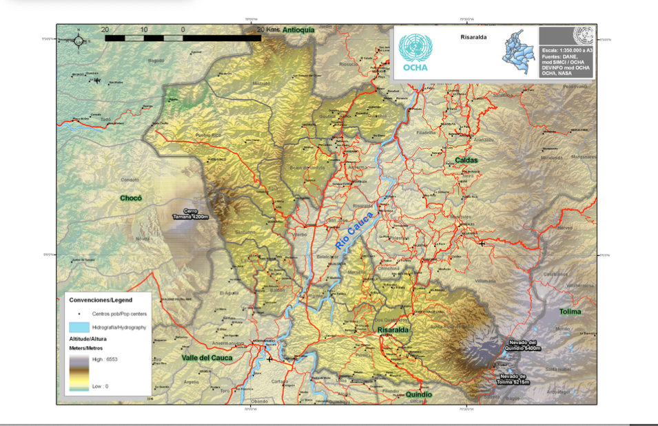
Risaralda
Mapa 2012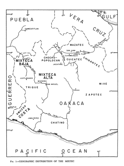
Geographic Distribution of the Mixtec
Mapa 1969