
Pueblos
- MAZATECO
Citas
Instituto Nacional de los Pueblos Indígenas. "Mazatecos – Ubicación." Atlas de los Pueblos Indígenas de México. http://atlas.inpi.gob.mx/mazatecos-ubicacion/.
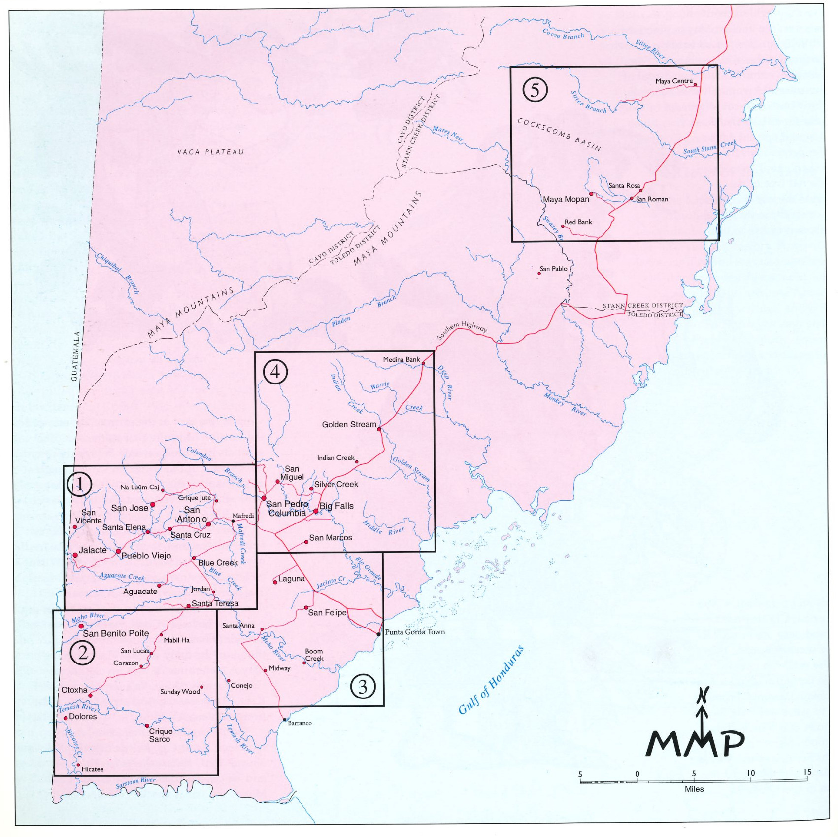
Village Groupings
Mapa 1997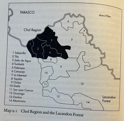
CHOL REGION AND THE LACANDON FOREST
Mapa 1998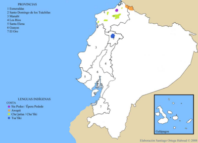
LENGUAS INDIGENAS COSTA
Mapa 2008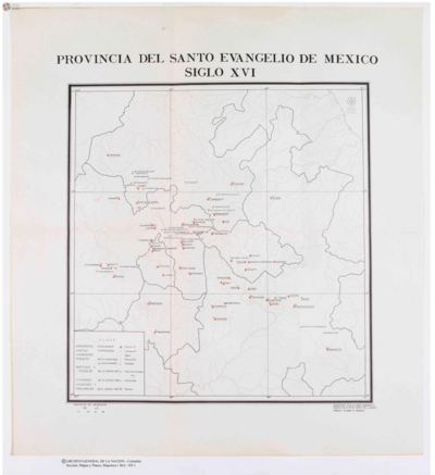
Provincia del Santo Evangelio de Mexico
Mapa 1500 - 1599
A Sequel of the Seat of War in the West Indies containing… Sub-map title: A large & accurate MAP of part of the Isthmus of Panama, taken from a Spanish drought exhibiting the Country adjacent to that City and Puerto Bello, with the Roads and Course of the River CHAGRE, by which the Treasure of the South Sea is conveyed a cross the Isthmus
Mapa 1740
PUEBLO PAME
Mapa 2020
Carte de la coste depuis la Rivière des Amazones jusques à l'Isle de Cayenne / Levée et présentée à Monseigneur le Comte de Pontchartrain Ministre et secrétaire d'Etat ;Par son très-humble et très-obeissant serviteur de Créanton Officier de Marine.
Mapa 1701
Una de las Postales Mentía
Obra de Arte