
Pueblos
- CUICATECO
Cita
Instituto Nacional de los Pueblos Indígenas. "Cuicatecos – Ubicación." Atlas de los Pueblos Indígenas de México. Accessed August 11, 2021. http://atlas.inpi.gob.mx/cuicatecos-ubicacion/.

Government map of Nicaragua : from the latest surveys ordered by President Patricio Rivas and Genl. William Walker ;executed under the supervision of the Señor Fermín Ferrer;Governor of the Western Department;1856
Mapa 1800 - 1856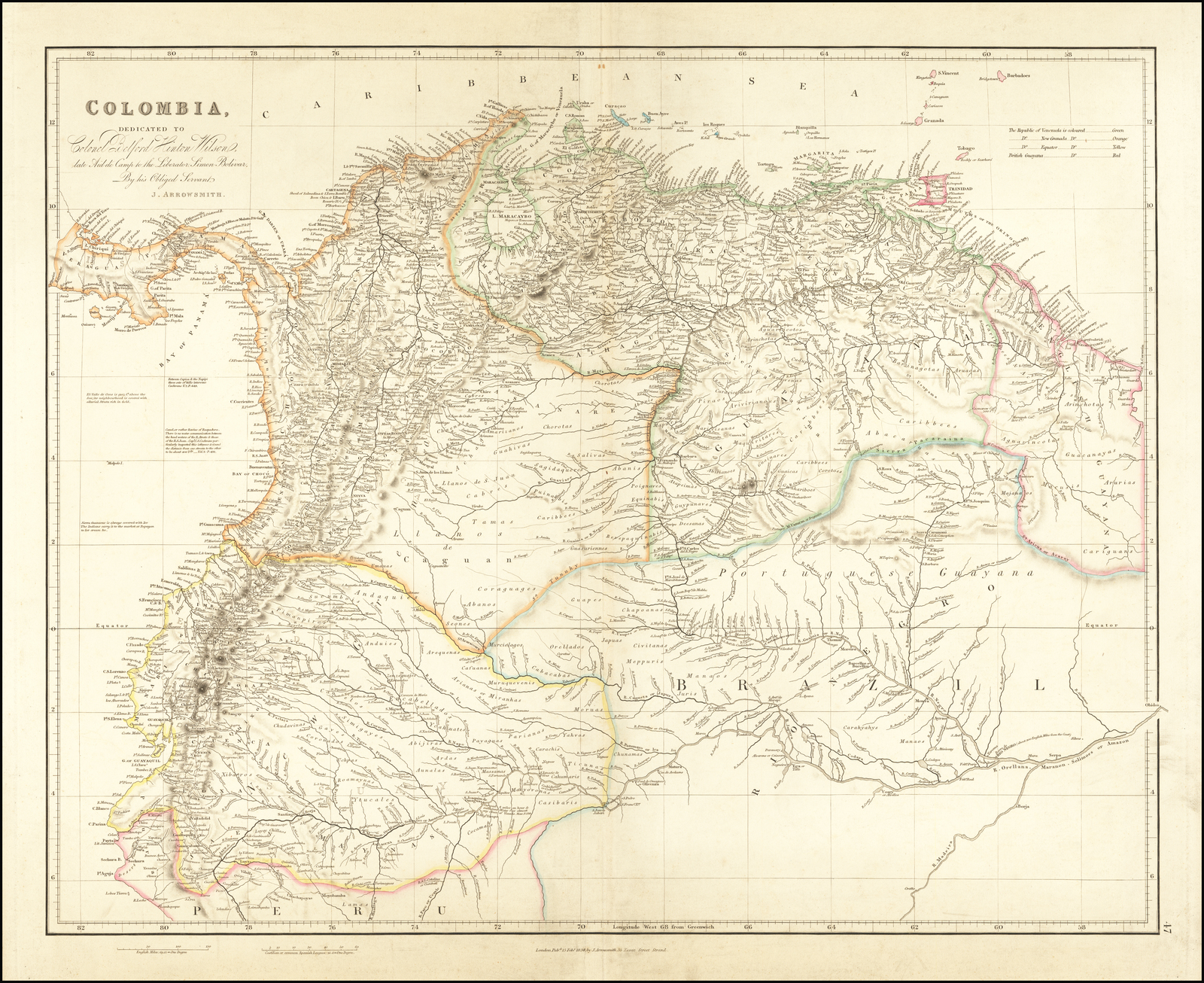
COLOMBIA
Mapa 1834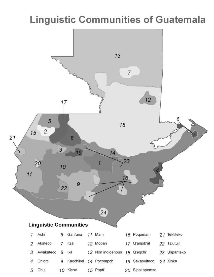
of Amerindians
Mapa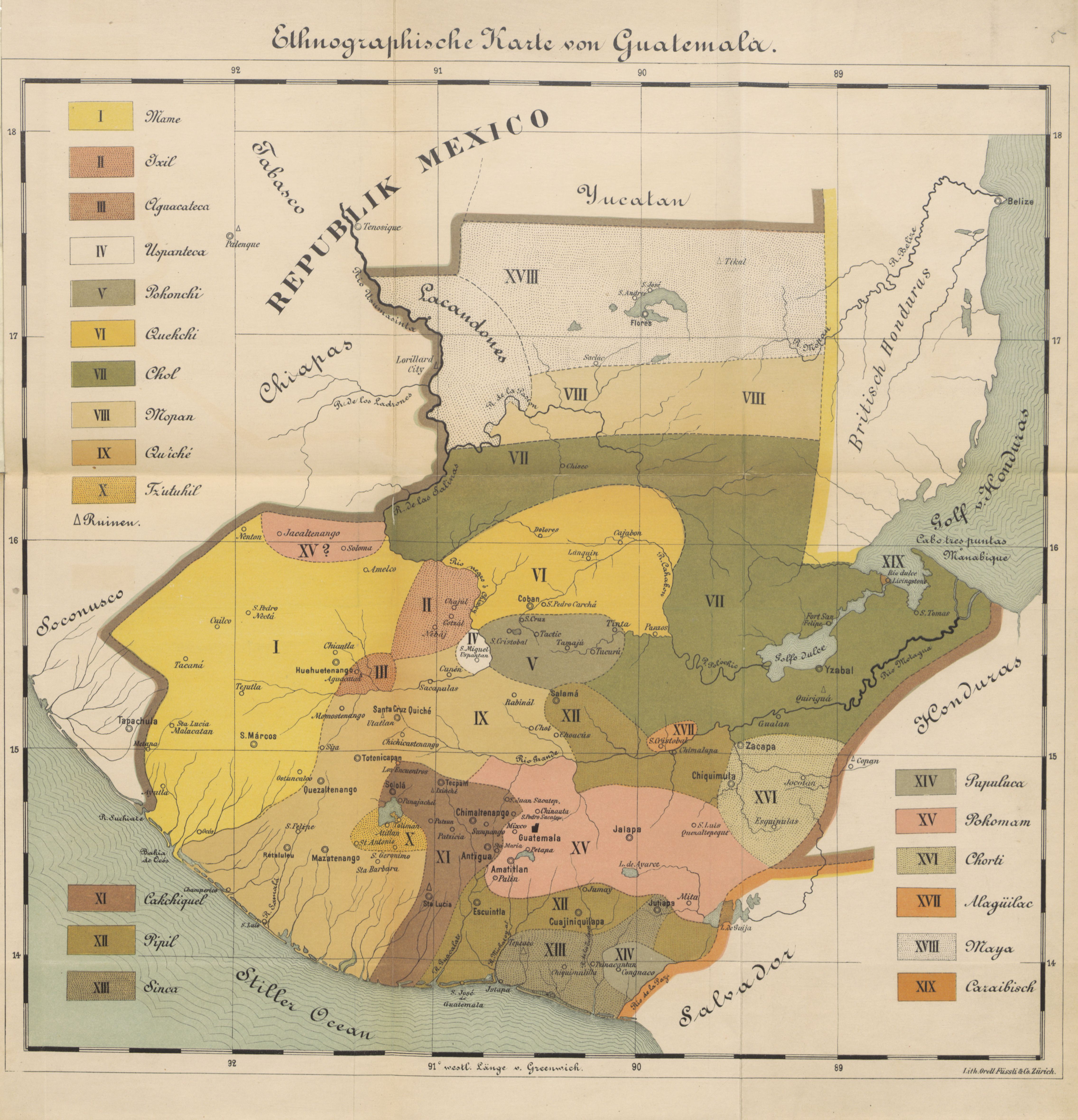
Ethnographische Karte von Guatemala
Mapa 1884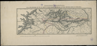
BORRADOR TOPOGRÁFICO DE LA LÍNEA DIVISORIA, QUE CITA EL ARTÍCULO 12º DEL TRATADO PRELIMINAR, Y AJUSTADAS DISTANCIAS HASTA SU PUNTO FINAL
Mapa 1800 - 1850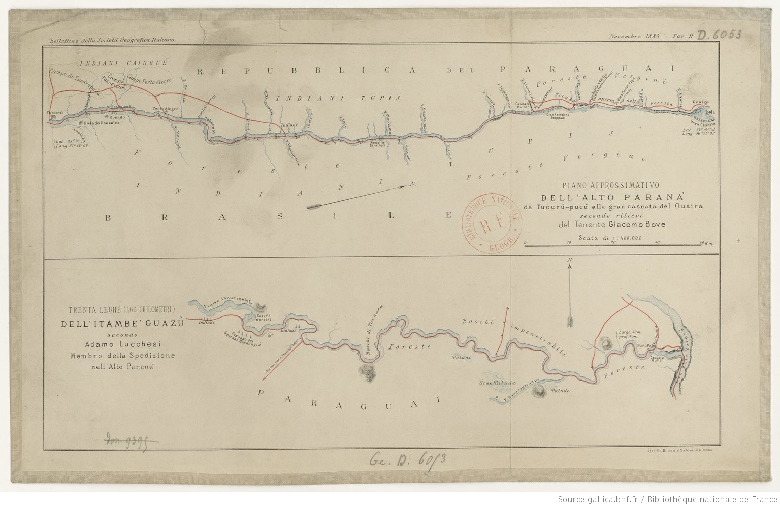
TRENTA LEGHE (166 CHILOMETRI) DELL’ ITAMBE’ GUAZÙ
Mapa 1884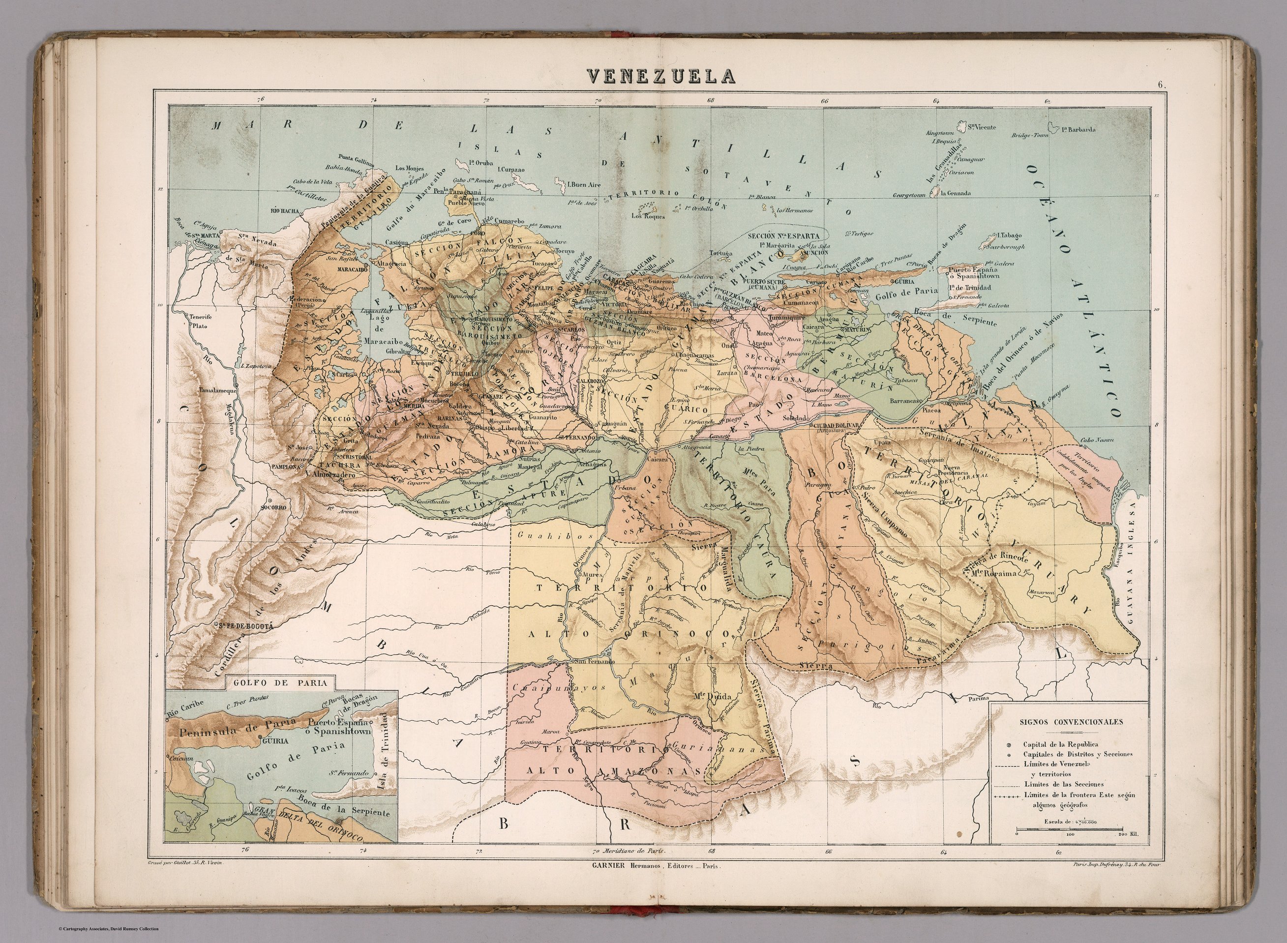
VENEZUELA
Mapa 1885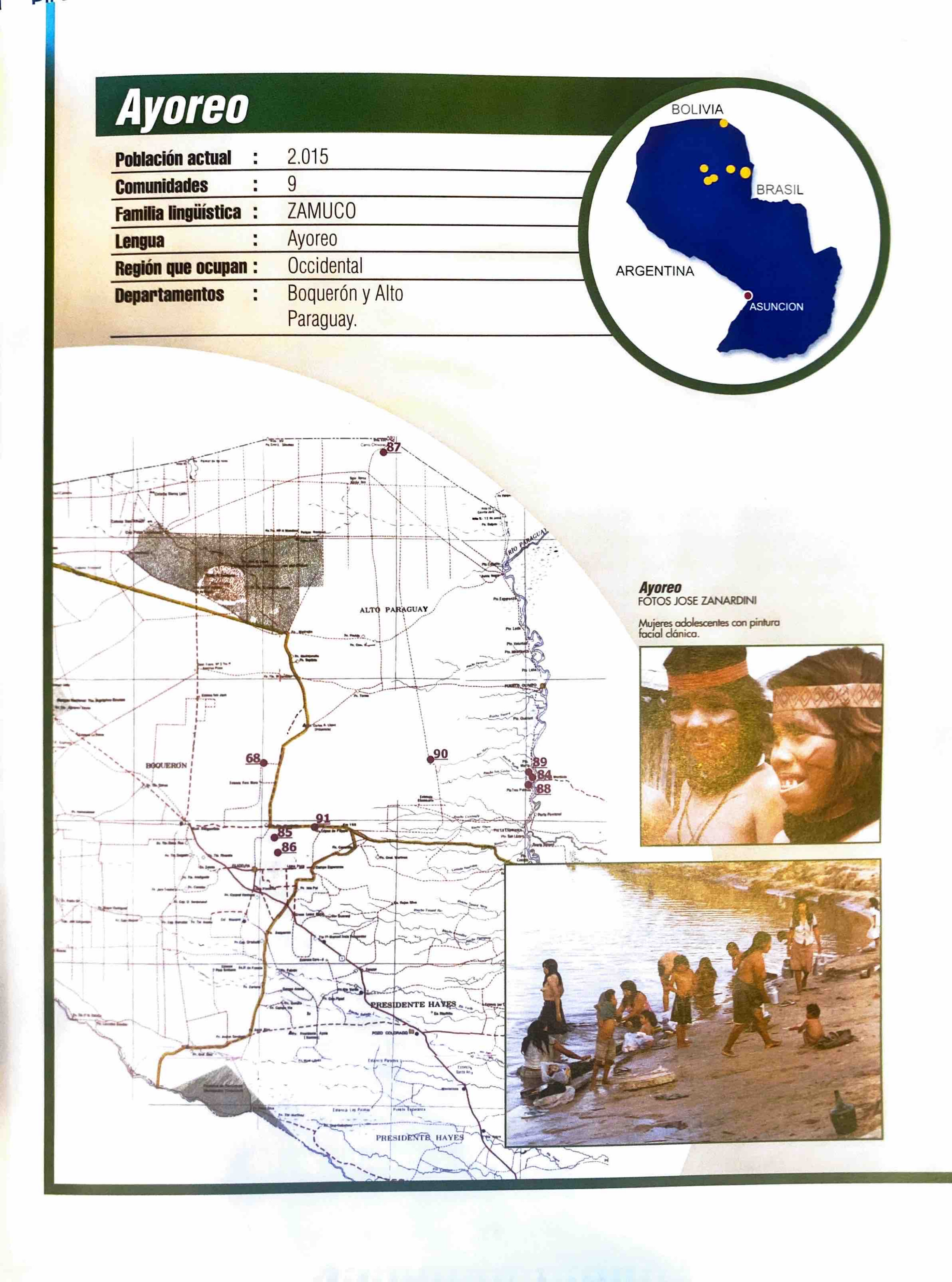
Ayoreo
Mapa 2001