Dispossesions in the Americas

Dispossesions in the Americas

  • Inicio
  • Explorar
  • Autores
  • Sobre
  • Arte
  • Cuerpos
  • Planes de Estudio
  • Herencia Cultural
  • Mapas
  • Territorios
Volver a Explorar

Leyendo en Inglés

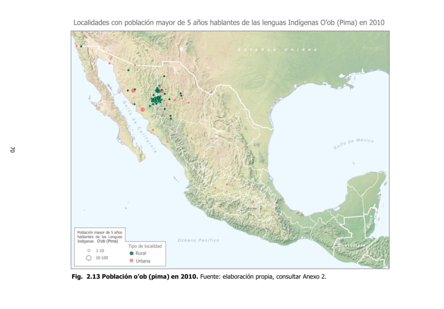
Mapa 2010

Población o'ob (pima) en 2010

  • DIANA LUQUE, ANGELINA MARTINEZ-YRIZAR, ALBERTO BURQUEZ, GERARDO LOPEZ CRUZ, ARTHUR D MURPHY

Publicado: 2016

  • Descargar Imágen
  • Descargar Imágen
Mapa 2010

Población o'ob (pima) en 2010

  • DIANA LUQUE, ANGELINA MARTINEZ-YRIZAR, ALBERTO BURQUEZ, GERARDO LOPEZ CRUZ, ARTHUR D MURPHY

Publicado: 2016

  • Descargar Imágen

Pueblos

  • PIMA

Citas

Luque, Diana, Angelina Martínez-Yrízar, Alberto Búrquez, Gerardo López Cruz, and Arthur D. Murphy. Complejos Bioculturales De Sonora Pueblos y Territorios Indigenas. Hermosillo, Sonora: Centro de Investigación en Alimentación y Desarrollo, A. C., 2016. https://www.researchgate.net/publication/311921880_Complejos_Bioculturales_De_Sonora_Pueblos_y_Territorios_Indigenas.
  • Descargar Imágen

Artículos Relacionados

Le Perou dans l'Amerique Meridionale Dresse sur les divers relations des filibustiers et nouveaux voyageurs

Le Perou dans l'Amerique Meridionale Dresse sur les divers relations des filibustiers et nouveaux voyageurs

Mapa 1719
How Rivers Think [Cómo piensan los ríos]

How Rivers Think [Cómo piensan los ríos]

Obra de Arte
A Map of part of Yucatan or of that Part of the Eastern Shore Within the Bay of Honduras Alloted to Great Britain for the Cutting of Logwood, in consequence of the Convention Signed with Spain on the 14th July 1786.

A Map of part of Yucatan or of that Part of the Eastern Shore Within the Bay of Honduras Alloted to Great Britain for the Cutting of Logwood, in consequence of the Convention Signed with Spain on the 14th July 1786.

Mapa 1700
Pueblos de Indios Diaguita Durante la Colonia.

Pueblos de Indios Diaguita Durante la Colonia.

Mapa 1500 - 1800
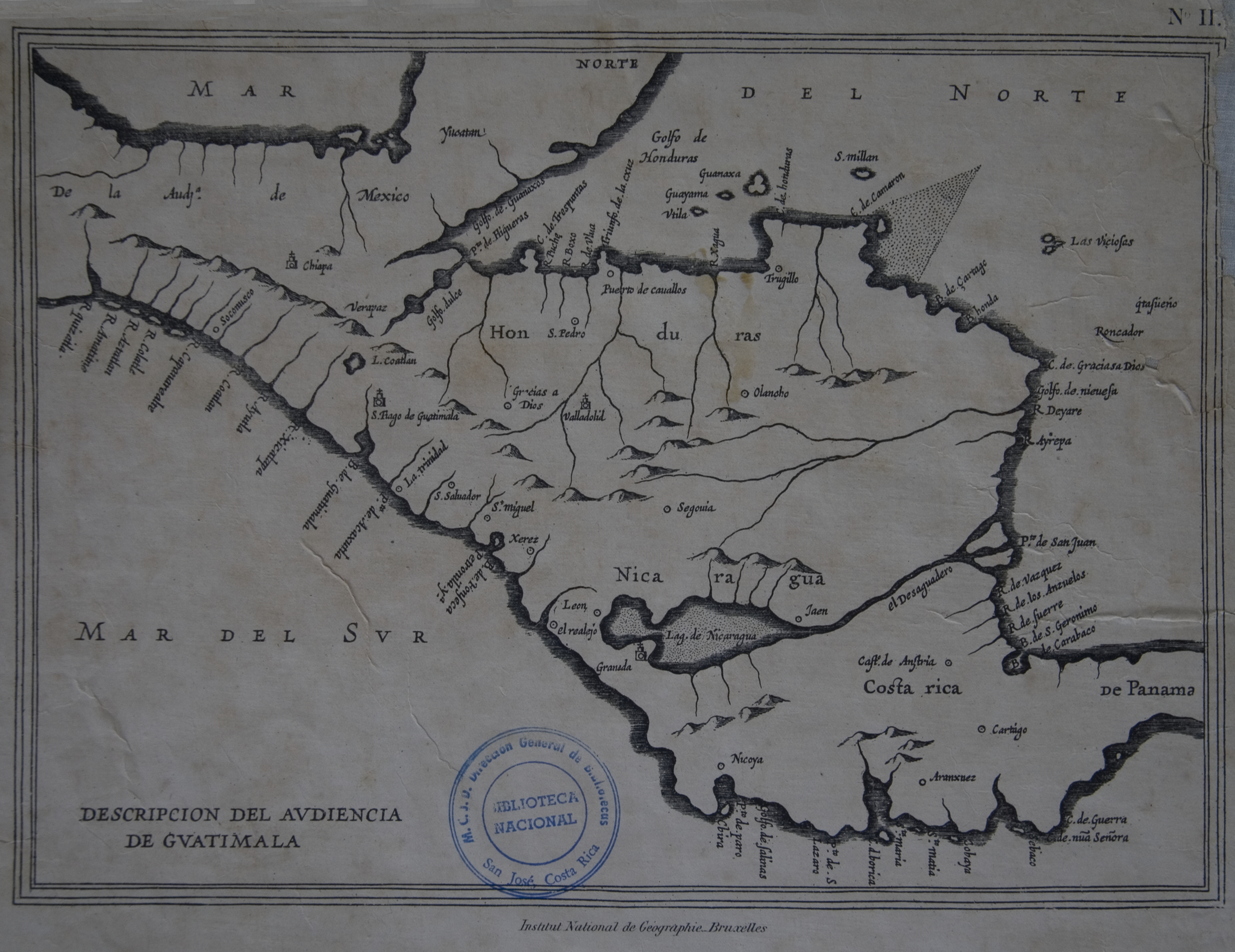
Plan pour ouvrir une communication de la mer du Nord á la mer du Sud par la riviére San Juan;le lac de Nicaragua et la baie del Papagaye.

Plan pour ouvrir une communication de la mer du Nord á la mer du Sud par la riviére San Juan;le lac de Nicaragua et la baie del Papagaye.

Mapa 1700
DIE EHEMALIGE VERBREITUNG und die MUTHMASSLICHEN WANDERUNGEN der TUPIS. Die jetzigen HAUPT-SPRACHENGRUPPEN.

DIE EHEMALIGE VERBREITUNG und die MUTHMASSLICHEN WANDERUNGEN der TUPIS. Die jetzigen HAUPT-SPRACHENGRUPPEN.

Mapa 1875
Maya Land Use in the Toledo and Stann Creek Districts, Southern Belize

Maya Land Use in the Toledo and Stann Creek Districts, Southern Belize

Mapa 1997
Territorio forestal de la Biosfera del Sureste de Nicaragua.

Territorio forestal de la Biosfera del Sureste de Nicaragua.

Mapa 1984 - 2019

Despojos en las Américas

Un Proyecto de

University of Pennsylvania

Copyright 2024

Con el apoyo de

Mellon Foundation

Diseño y Desarrollo del Sitio

Element 84

Créditos Artísticos

Luque, Diana, Angelina Martínez-Yrízar, Alberto Búrquez, Gerardo López Cruz, and Arthur D. Murphy. Complejos Bioculturales De Sonora Pueblos y Territorios Indigenas. Hermosillo, Sonora: Centro de Investigación en Alimentación y Desarrollo, A. C., 2016. https://www.researchgate.net/publication/311921880_Complejos_Bioculturales_De_Sonora_Pueblos_y_Territorios_Indigenas.
Páginas del Sitio

  • Inicio
  • Explorar
  • Autores
  • Sobre
  • Arte
  • Cuerpos
  • Planes de Estudio
  • Herencia Cultural
  • Mapas
  • Territorios