Dispossesions in the Americas

Dispossesions in the Americas

  • Inicio
  • Explorar
  • Autores
  • Sobre
  • Arte
  • Cuerpos
  • Planes de Estudio
  • Herencia Cultural
  • Mapas
  • Territorios
Volver a Explorar

Leyendo en Inglés

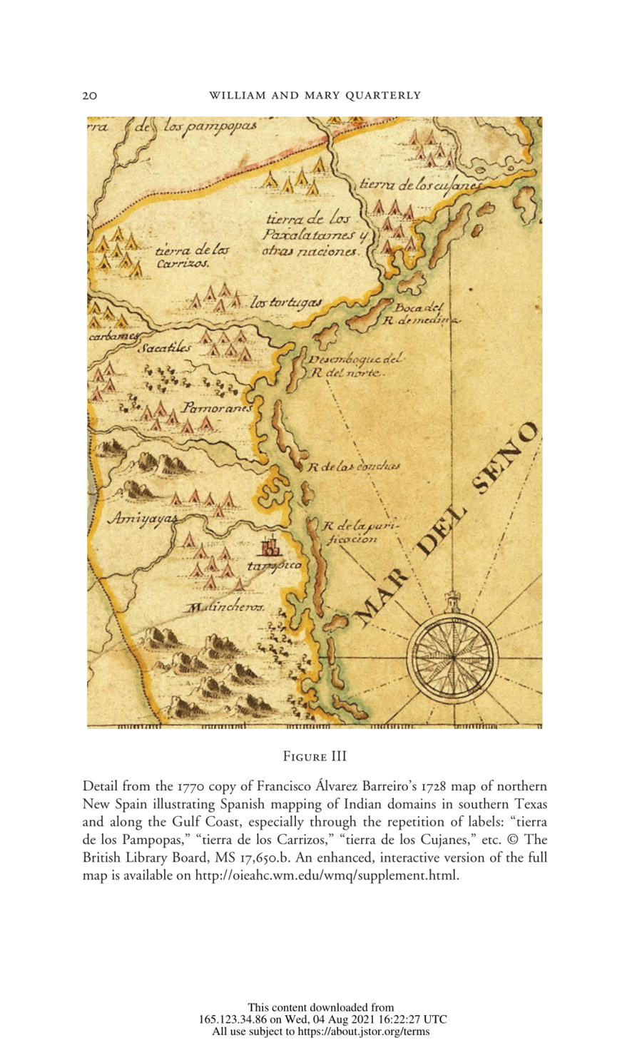
Mapa 1728

Detail from the 1770 copy of Francisco Álvarez Barreiro’s 1728 map of northern New Spain illustrating Spanish mapping of Indian domains in southern Texas and along the Gulf Coast, especially through the repetition of labels: “tierra de los Pampopas,” “tierra de los Carrizos,” “tierra de los Cujanes,” etc.

  • FRANCISCO ALVAREZ BARREIRO

Publicado: 1770

  • Descargar Imágen
  • Descargar Imágen
Mapa 1728

Detail from the 1770 copy of Francisco Álvarez Barreiro’s 1728 map of northern New Spain illustrating Spanish mapping of Indian domains in southern Texas and along the Gulf Coast, especially through the repetition of labels: “tierra de los Pampopas,” “tierra de los Carrizos,” “tierra de los Cujanes,” etc.

  • FRANCISCO ALVAREZ BARREIRO

Publicado: 1770

  • Descargar Imágen

Pueblos

  • CARRIZOS

Citas

Barr, Juliana. "Geographies of Power: Mapping Indian Borders in the 'Borderlands' of the Early Southwest." The William and Mary Quarterly 68, no. 1 January 2011: 5-46. https://www-jstor-org.proxy.library.upenn.edu/stable/10.5309/willmaryquar.68.1.0005#metadata_info_tab_contents.
  • Descargar Imágen

Artículos Relacionados

Carte Du Paraguay et partie des Pays adjacants

Carte Du Paraguay et partie des Pays adjacants

Mapa 1771
Plan del Puerto de Bahiahonda, Provincia del Rio del Hacha, Auitado su terreno de varias naciones de Yndios Guagiros

Plan del Puerto de Bahiahonda, Provincia del Rio del Hacha, Auitado su terreno de varias naciones de Yndios Guagiros

Mapa 1761
CARTE DU THÉÂTRE DE LA GUERRE ENTRE LE BRÉSIL, LA CONFÉDÉRATION ARGENTINE, LA RÉPUBLIQUE DE L'URUGUAY & LE PARAGUAY

CARTE DU THÉÂTRE DE LA GUERRE ENTRE LE BRÉSIL, LA CONFÉDÉRATION ARGENTINE, LA RÉPUBLIQUE DE L'URUGUAY & LE PARAGUAY

Mapa 1864 - 1865
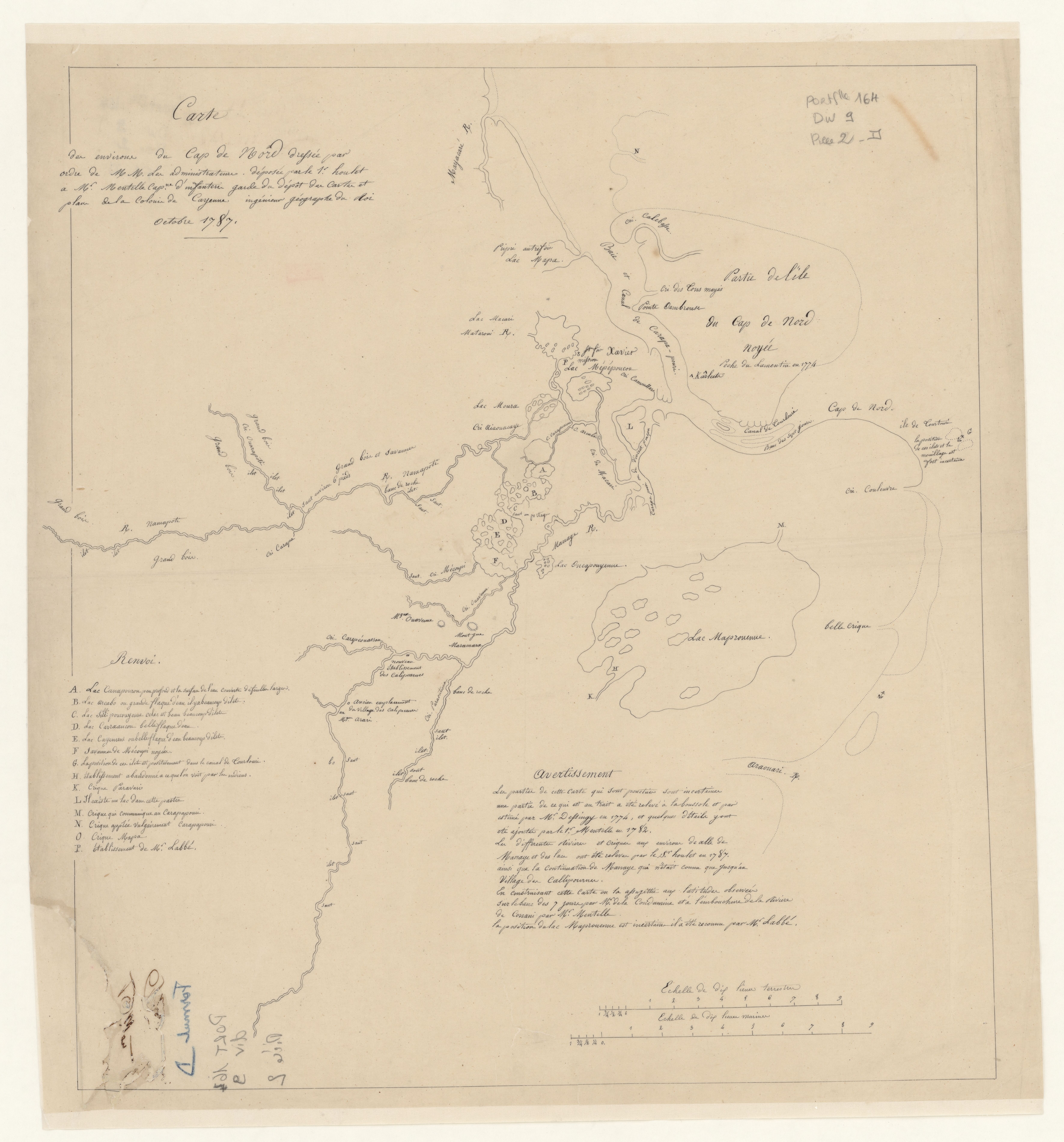
Carte du Gouvernement de Cayenne.

Carte du Gouvernement de Cayenne.

Mapa 1700 - 1799
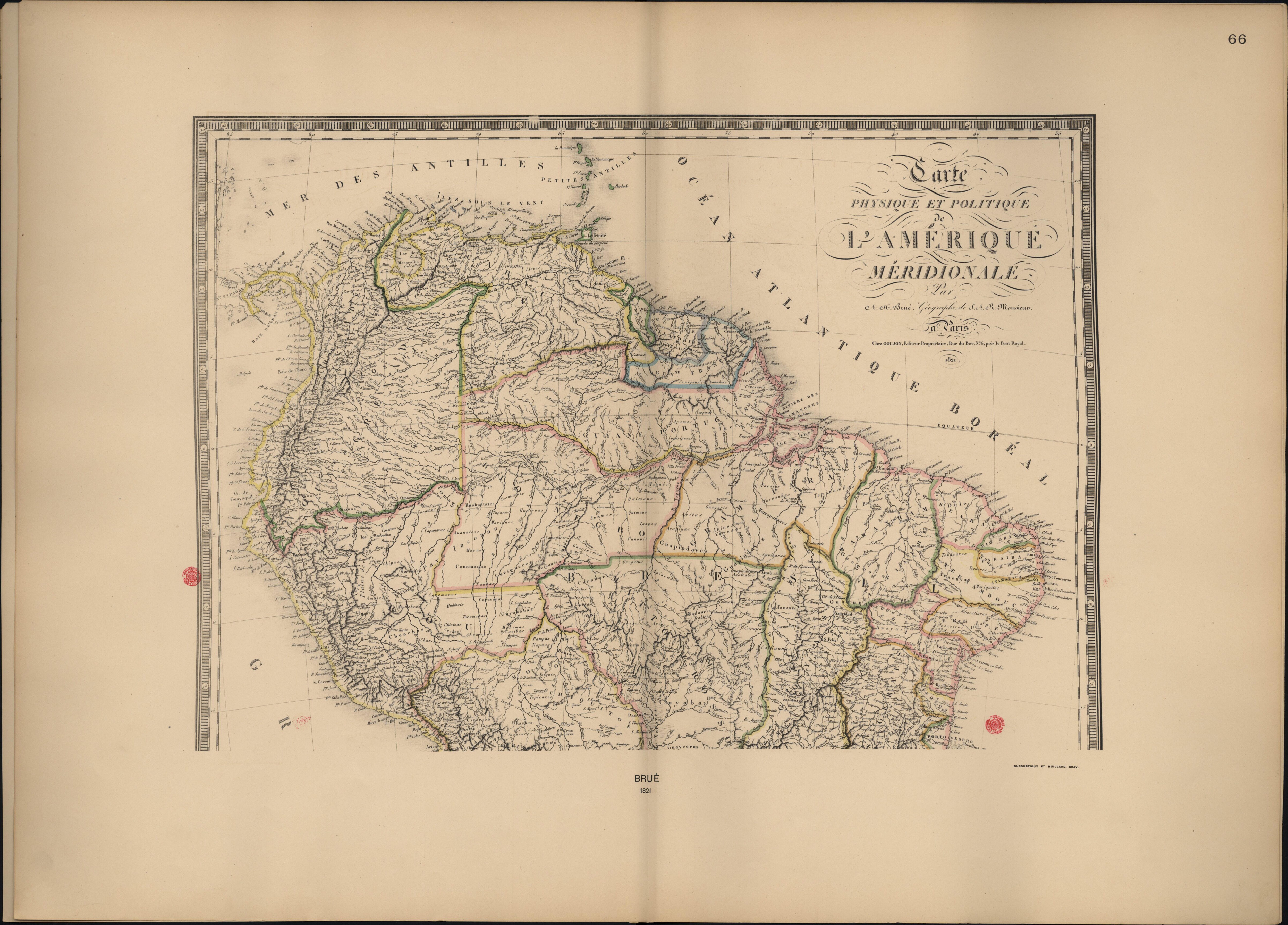
[Carte de la Guyane depuis le Marony jusqu'au Yary]

[Carte de la Guyane depuis le Marony jusqu'au Yary]

Mapa 1766
Indigenous territories and Bosawás in Nicaragua.

Indigenous territories and Bosawás in Nicaragua.

Mapa 2000
MAPA DEL ANTIGUO REINO DE GUATEMALA EN LA EPOCA DE SU DESCUBRIMIENTO Y CONQUISTA

MAPA DEL ANTIGUO REINO DE GUATEMALA EN LA EPOCA DE SU DESCUBRIMIENTO Y CONQUISTA

Mapa 1900 - 1999
Tenencia de Tierra en la Isla de Pascua hacia 1871.

Tenencia de Tierra en la Isla de Pascua hacia 1871.

Mapa 1871

Despojos en las Américas

Un Proyecto de

University of Pennsylvania

Copyright 2024

Con el apoyo de

Mellon Foundation

Diseño y Desarrollo del Sitio

Element 84

Créditos Artísticos

Barr, Juliana. “Geographies of Power: Mapping Indian Borders in the ‘Borderlands’ of the Early Southwest.” The William and Mary Quarterly 68, no. 1 January 2011: 5-46. https://www-jstor-org.proxy.library.upenn.edu/stable/10.5309/willmaryquar.68.1.0005#metadata_info_tab_contents.
Páginas del Sitio

  • Inicio
  • Explorar
  • Autores
  • Sobre
  • Arte
  • Cuerpos
  • Planes de Estudio
  • Herencia Cultural
  • Mapas
  • Territorios