Pueblos
- INDIAN CONIES
Cita
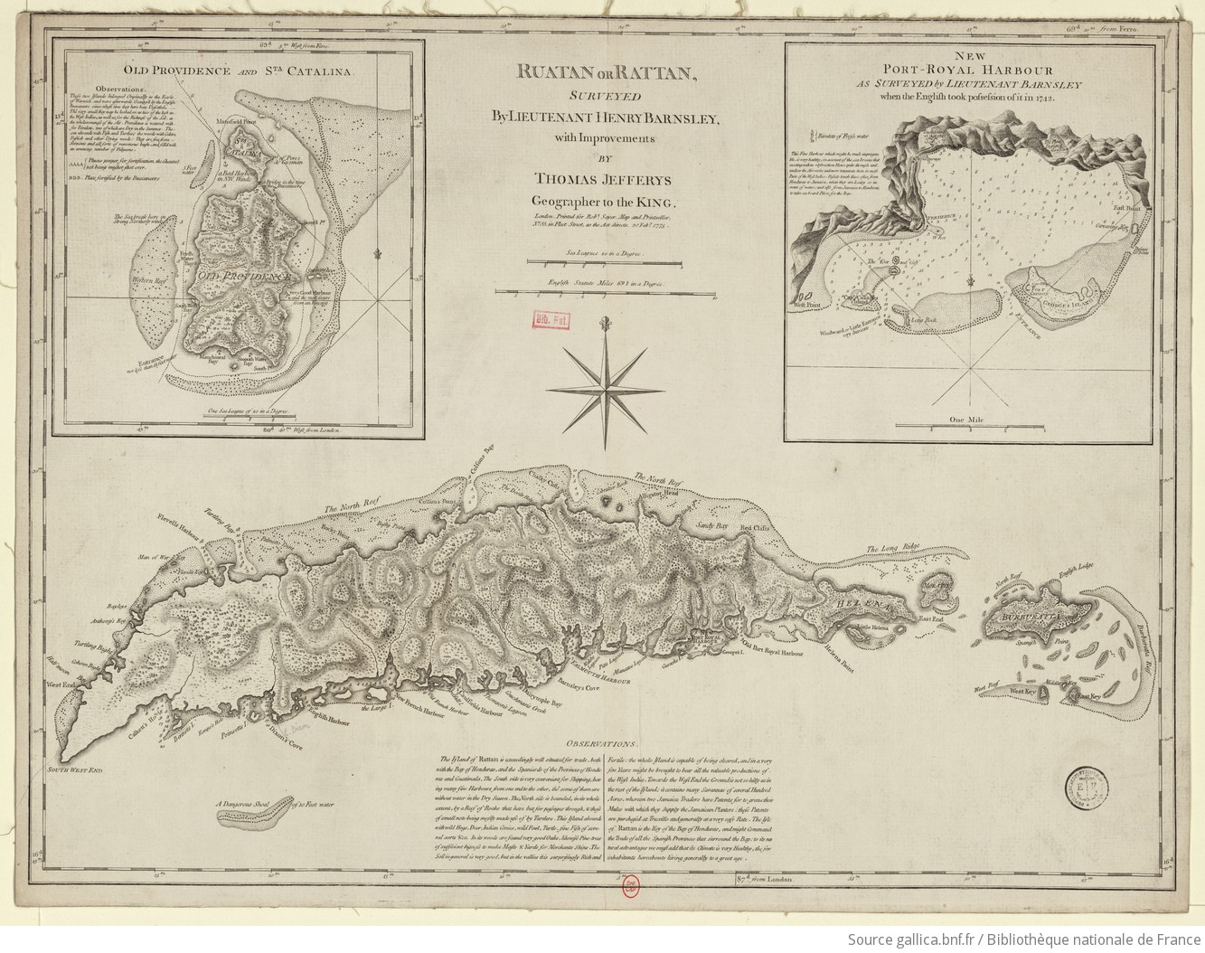
Barnsley, Henry, and Thomas Jefferys. Ruatan or Rattan. Map. London, England: Robert Sayer, 1775. Accessed August 10, 2023. https://gallica.bnf.fr/ark:/12148/btv1b59707979.r=Honduras?rk=300430;4.
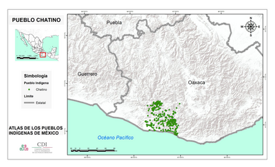
PUEBLO CHATINO
Mapa 2020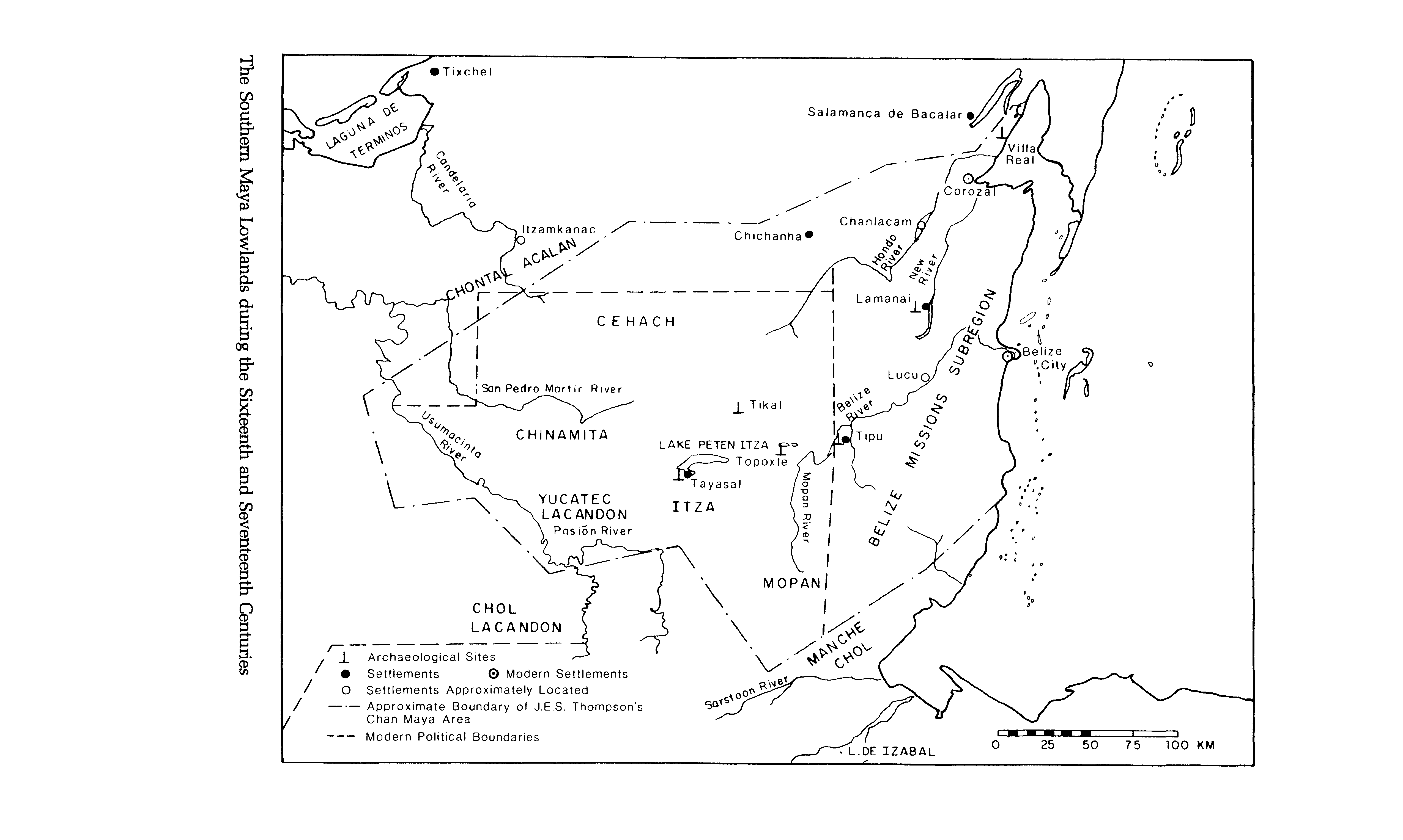
The Southern Maya Lowlands during the Sixteenth and Seventeenth Centuries
Mapa 1500 - 1700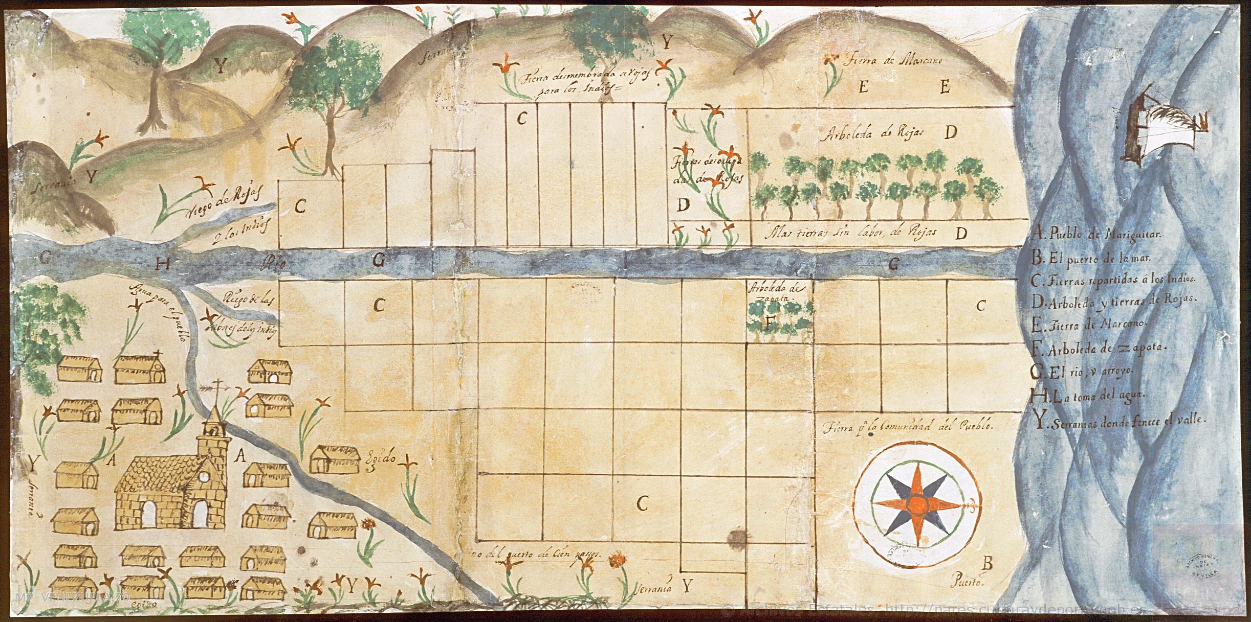
Plano del pueblo de Mariguitar y de las tierras repartidas a los indios
Mapa 1703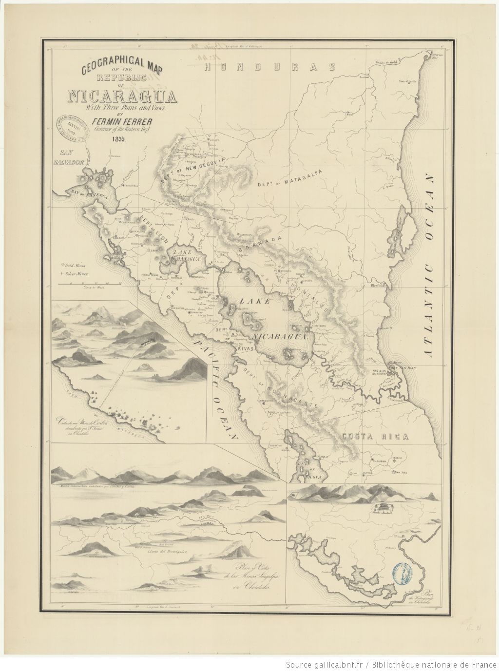
Geographic Map of the Nicaragua with three plans and views.
Mapa 1855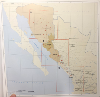
INTENDENCIA DE SONORA-SINOLOA
Mapa 1800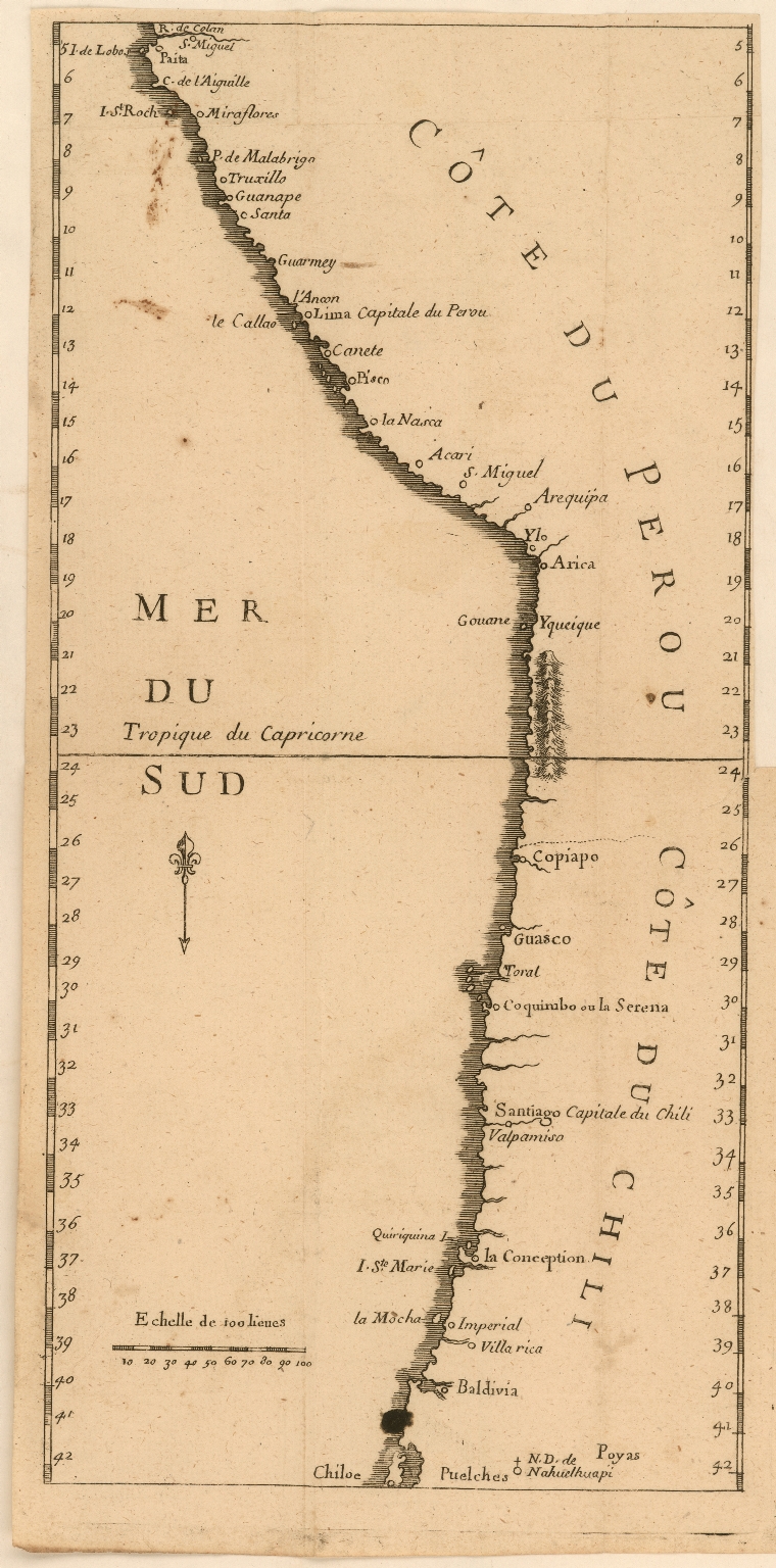
Côte du Perou
Mapa 1707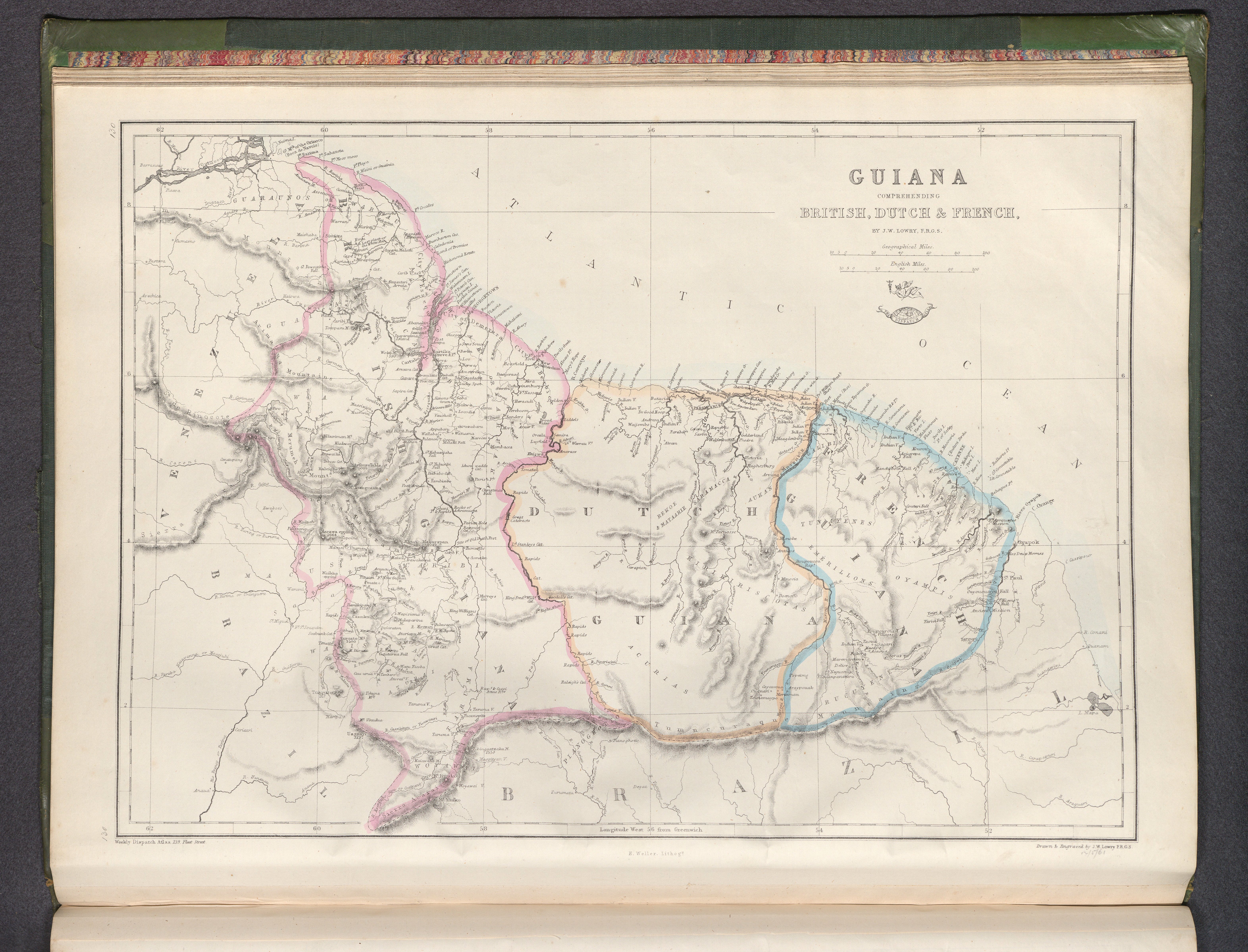
Guiana, comprehending British, Dutch & French
Mapa 1800 - 1899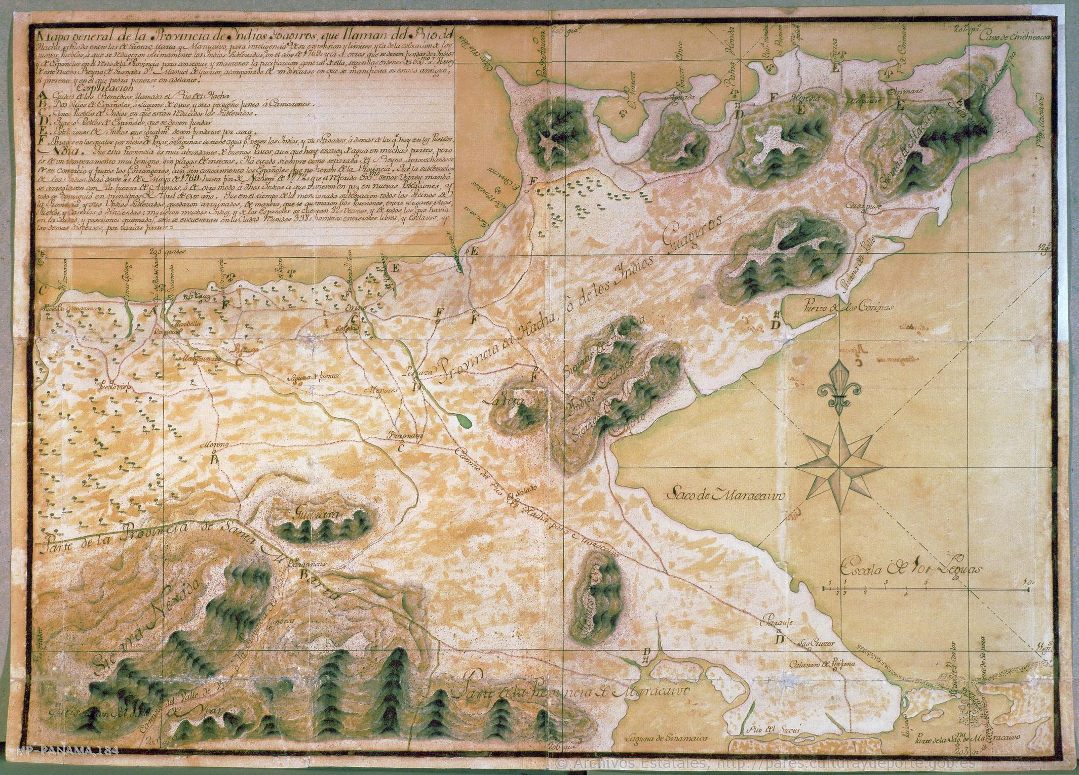
Mapa general de la Provincia de yndios Goagiros que llaman del Río del Hacha
Mapa 1773