
Pueblos
- MUSKETOR
Cita
Penhallow, Samuel. The Spanish and Musketor shore and the bay of Honduras and the islands adjacent. Map. London, England, 1735. Accessed August 6, 2023. https://gallica.bnf.fr/ark:/12148/btv1b5970790d/f1.item.r=Honduras.zoom.
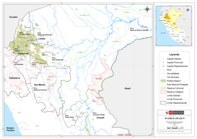
PUEBLO AWAJÚN
Mapa 2021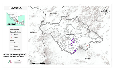
TLAXCALA
Mapa 2015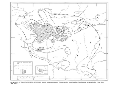
Area of Tarascan Speech around 1800
Mapa 1800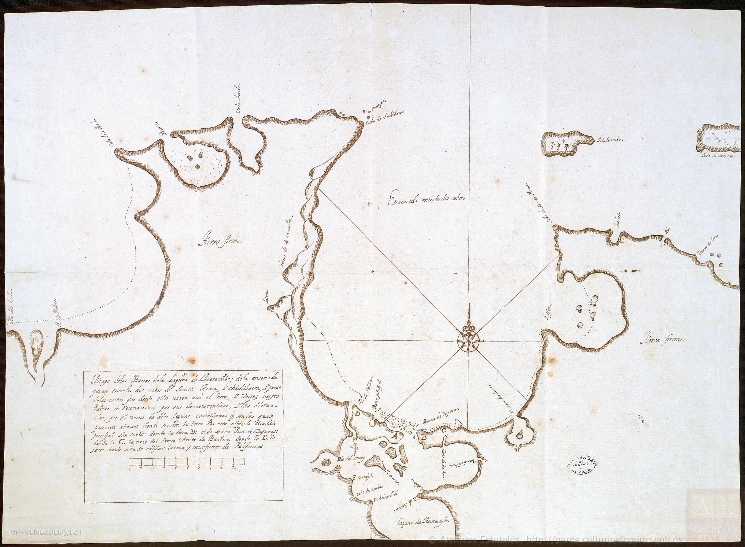
Mapa de las barras de la laguna de Maracaibo;de la ensenada que ay entre los dos cabos de Sancta Anna y Chichibacoa;y parte de las costas que desde ellos corren assí al este y vueste;cuyos paízes se reconocerán por sus demonstratibos;y las distancias por el tronco de dies leguas castellanas que son las que parecen abaxo
Mapa 1740 - 1750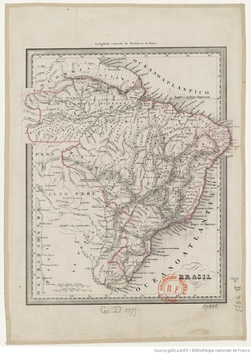
BRASIL
Mapa 1835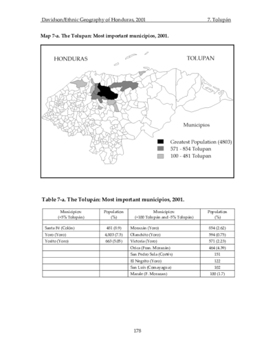
The Tolupan: Most important municipios, 2001
Mapa 2001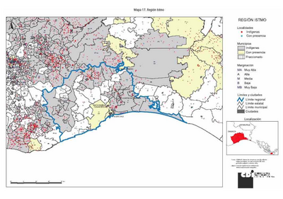
REGIÓN ISTMO
Mapa 2000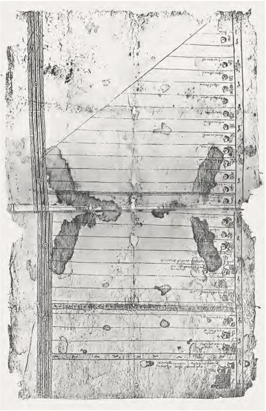
FRAGMENTO HUMBOLDT 2
Mapa 1500 - 1599