
Pueblos
- TAWAHKA
Cita
Davidson, William V. Ethnic Geography of Honduras, 2001: Tables and Maps based on the National Census. Memphis, TN, 2011. PDF. http://williamvdavidson.com/pdf/Ethnic-Geography-of-Honduras-2001-Davidson.pdf
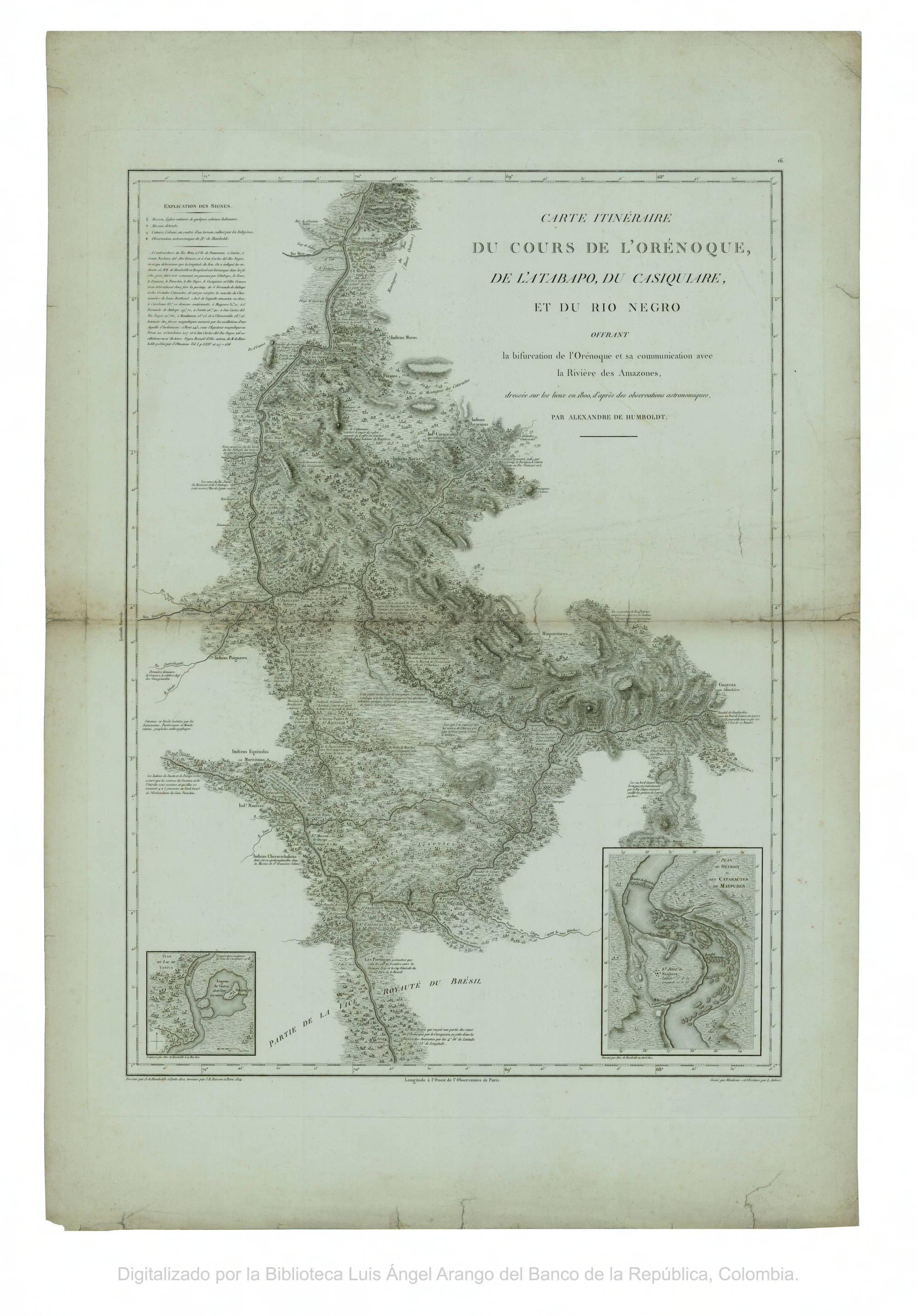
CARTE ITINÉRAIRE DU COURS DE L’ORÉNOQUE;DE L’ATABAPO;DU CASIQUIARE;ET DU RIO NEGRO OFFRANT la bifurcation de l’Orénoque et sa communication avec la Rivière des Amazones
Mapa 1802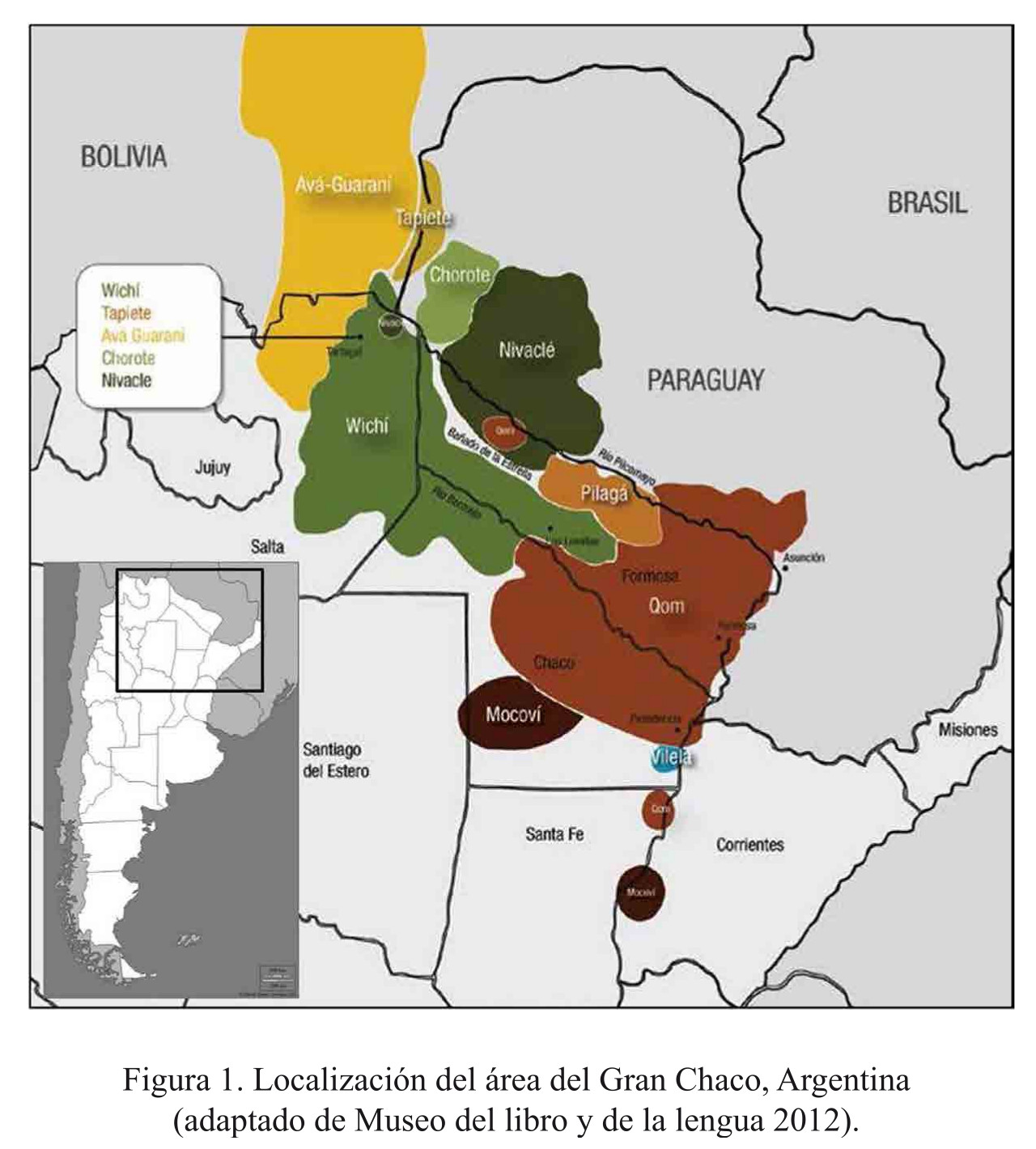
Localización del área del Gran Chaco, Argentina
Mapa 2016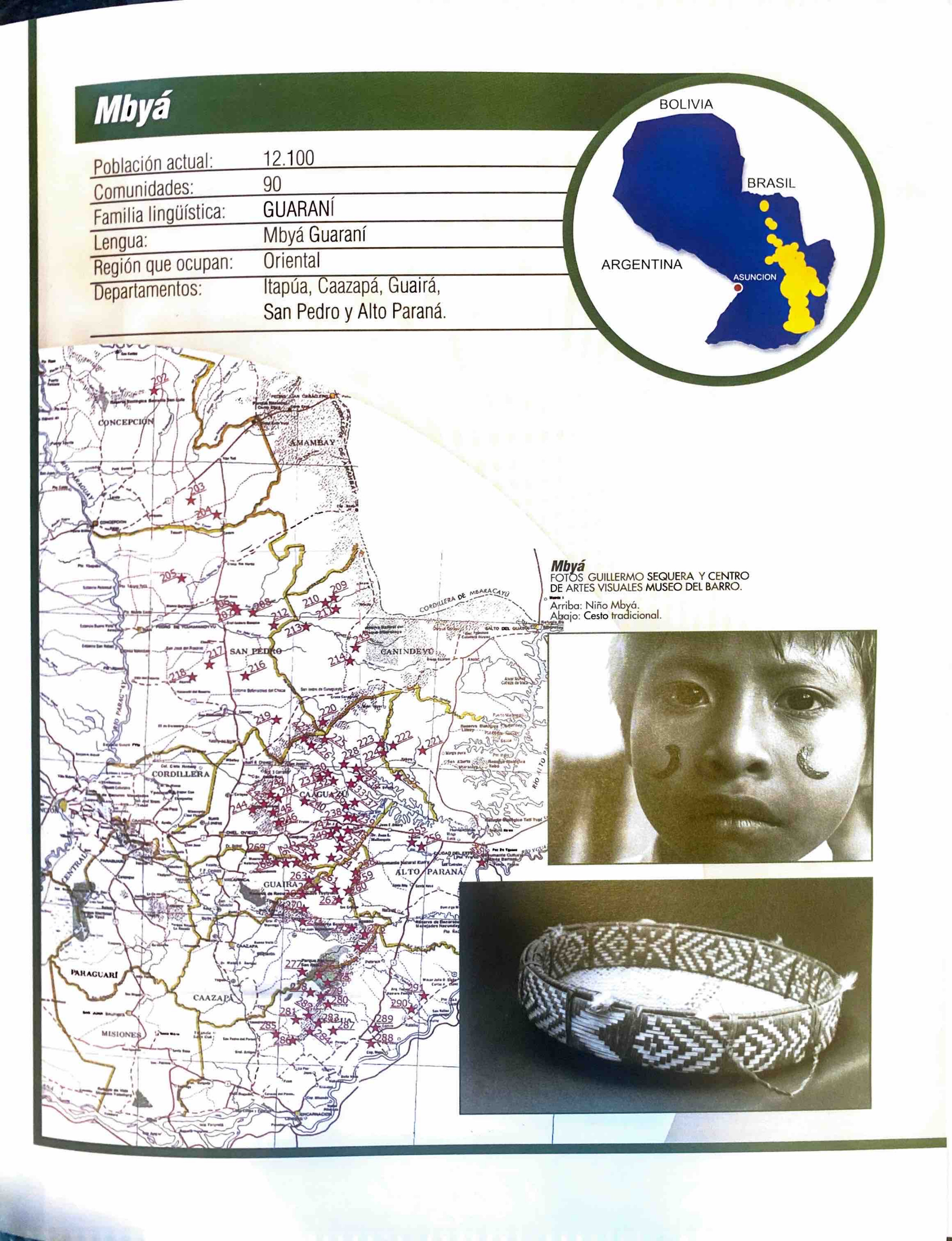
Mbyá
Mapa 2001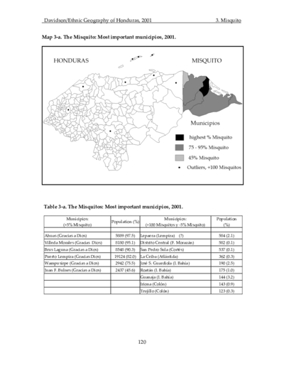
The Misquito: Most important municipios, 2001
Mapa 2001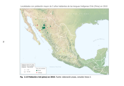
Población o'ob (pima) en 2010
Mapa 2010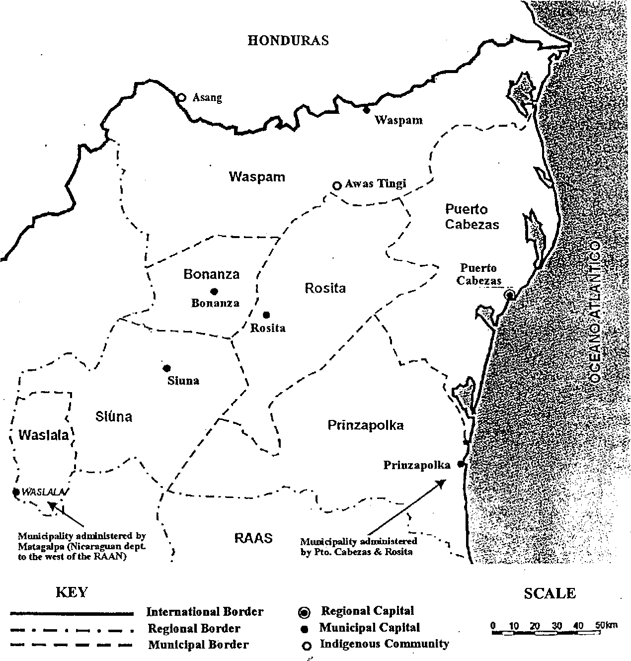
Map of the North Atlantic Autonomous Region (RAAN);Northeastern Nicaragua.
Mapa 1900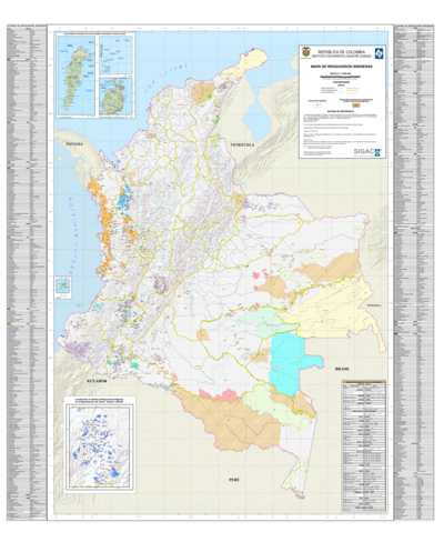
Mapa de resguardos indígenas
Mapa 2012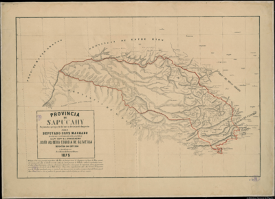
PROVINCIA DE SAPUCAHY
Mapa 1873