
Pueblos
- TOLUPAN
Cita
Davidson, William V. Ethnic Geography of Honduras, 2001: Tables and Maps based on the National Census. Memphis, TN, 2011. PDF. http://williamvdavidson.com/pdf/Ethnic-Geography-of-Honduras-2001-Davidson.pdf
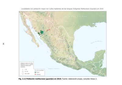
Población mahkurawe (guarijío) en 2010
Mapa 2010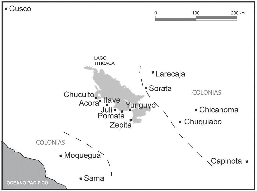
THE AYMARA POLITY OF THE LUPAQA: COMMERCIAL DESTINIES AND VERTICALITY IN THE 16TH CENTURY
Mapa 1500 - 1599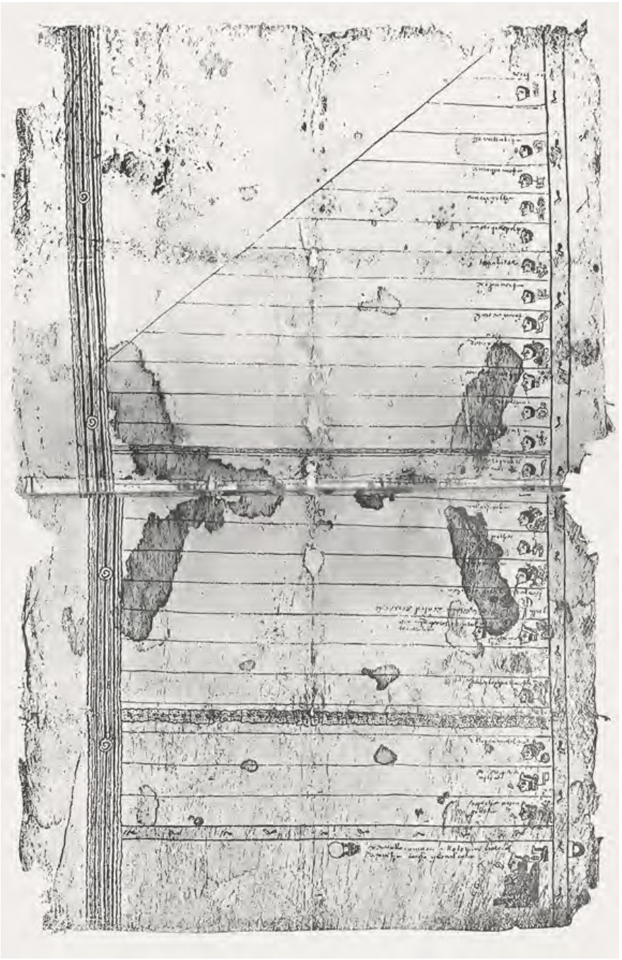
FRAGMENTO HUMBOLDT 2
Mapa 1500 - 1599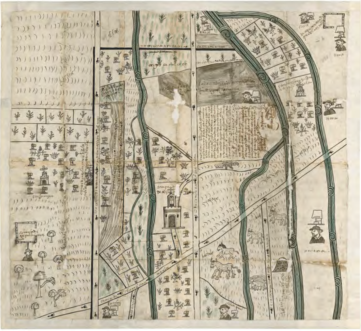
MAPA DE SAN PEDRO AZCAPOTZALTONGO
Mapa 1500 - 1599
Totocanapan: Approximate Extension in Ancient and Recent Times
Mapa 1940
Reclamo de la Comunidad Indígena Negra Creole de Bluefields y Territorio Títulados en la RAAS.
Mapa 2000
Corregimiento de Santiago Atitlan
Mapa 1550 - 1580
Carte du Pérou, ou se trouvent les Audiences de Quito, Lima et la Plata projettée et assujettie aux observations astronomiques
Mapa 1771