Dispossesions in the Americas

Dispossesions in the Americas

  • Inicio
  • Explorar
  • Autores
  • Sobre
  • Arte
  • Cuerpos
  • Planes de Estudio
  • Herencia Cultural
  • Mapas
  • Territorios
Volver a Explorar

Leyendo en Inglés

Mapa 300 - 400

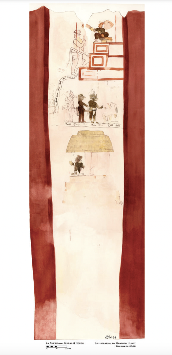
Reproduction of a 4th century mural painted on the wall of a royal residence at La Sufricaya in the Peten region of Guatemala. Mural 6 North.

    Publicado: 300-400

    • Descargar Imágen
    • Descargar Imágen
    Mapa 300 - 400

    Reproduction of a 4th century mural painted on the wall of a royal residence at La Sufricaya in the Peten region of Guatemala. Mural 6 North.

      Publicado: 300-400

      • Descargar Imágen

      Pueblos

      • MAYA
      • CLASSIC MAYA

      Citas

      Reproduction of a 4th century mural painted on the wall of a royal residence at La Sufricaya in the Peten region of Guatemala. Mural 6 North. Illustration by Heather Hurst 2006. IN Sarah Kurnick and David Rogoff, "Maya cartographies: two maps of Punta Laguna, Yucatan Mexico." Journal of Social Archaeology 20(2) 2020: 127. https://journals.sagepub.com/doi/pdf/10.1177/1469605320914105
      • Descargar Imágen

      Artículos Relacionados

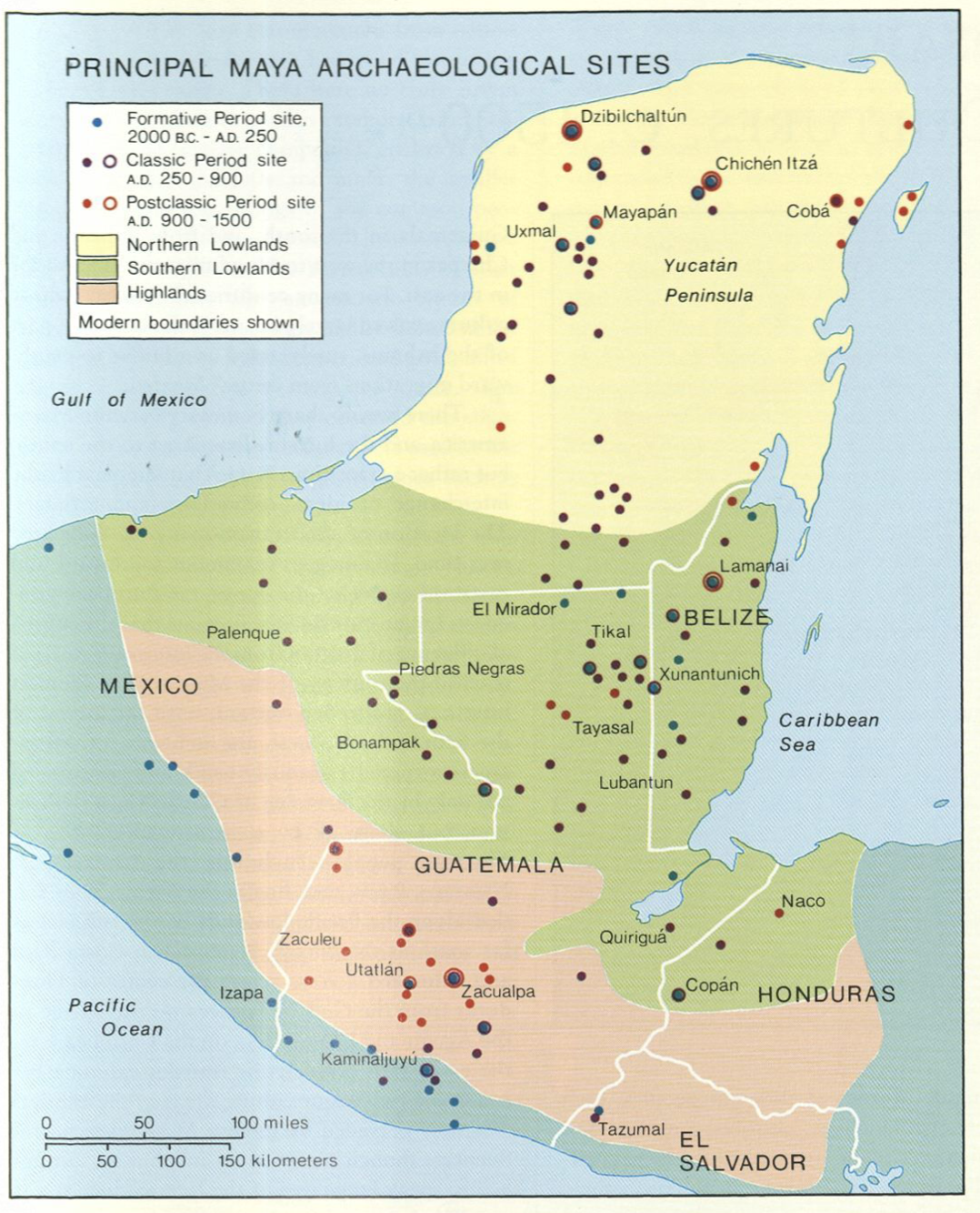
      Maya Land Use in the Toledo and Stann Creek Districts, Southern Belize

      Maya Land Use in the Toledo and Stann Creek Districts, Southern Belize

      Mapa 1997
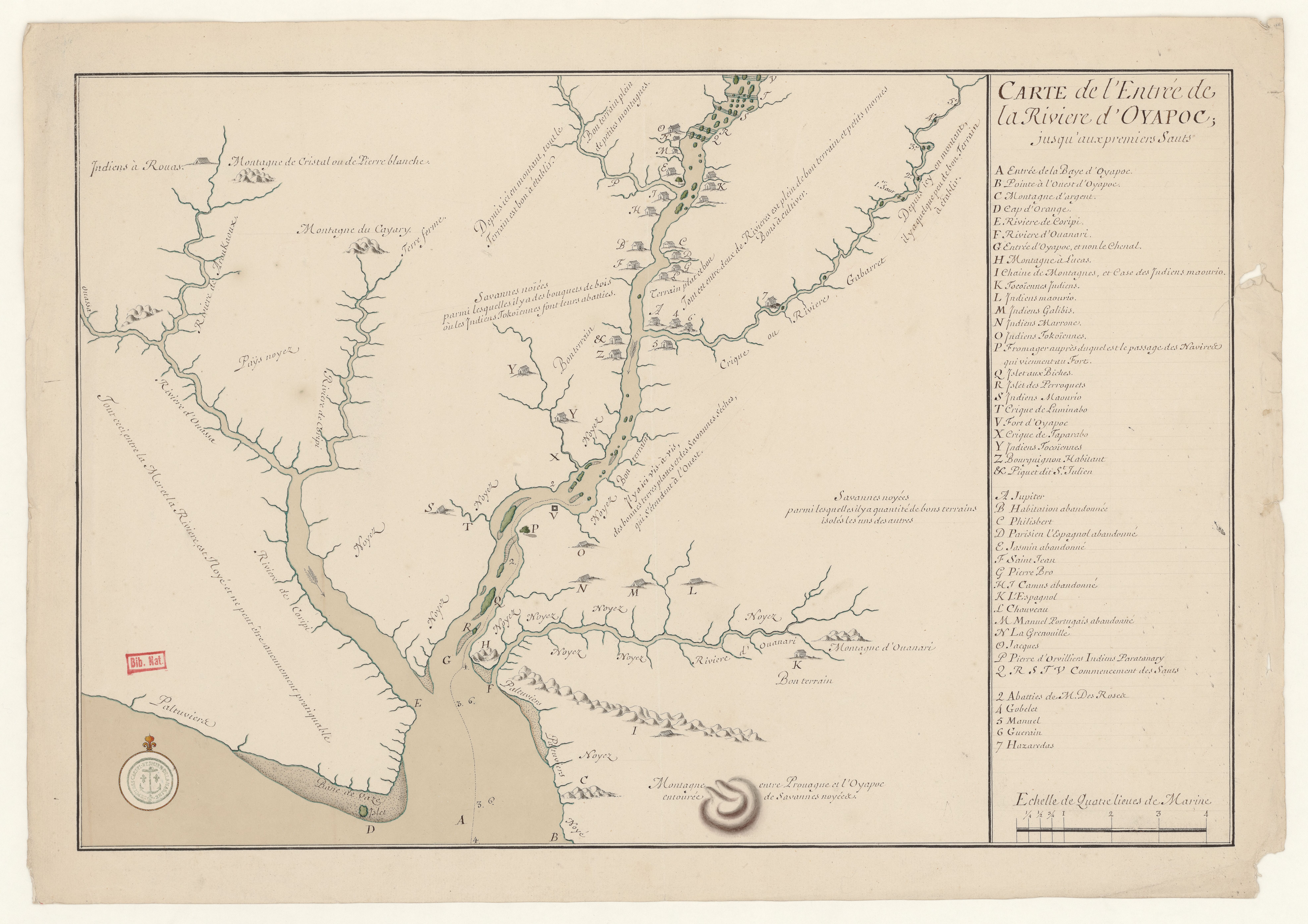
      Carte de la Guiane Française dressée sur les Observations les plus récentes.

      Carte de la Guiane Française dressée sur les Observations les plus récentes.

      Mapa 1700 - 1799
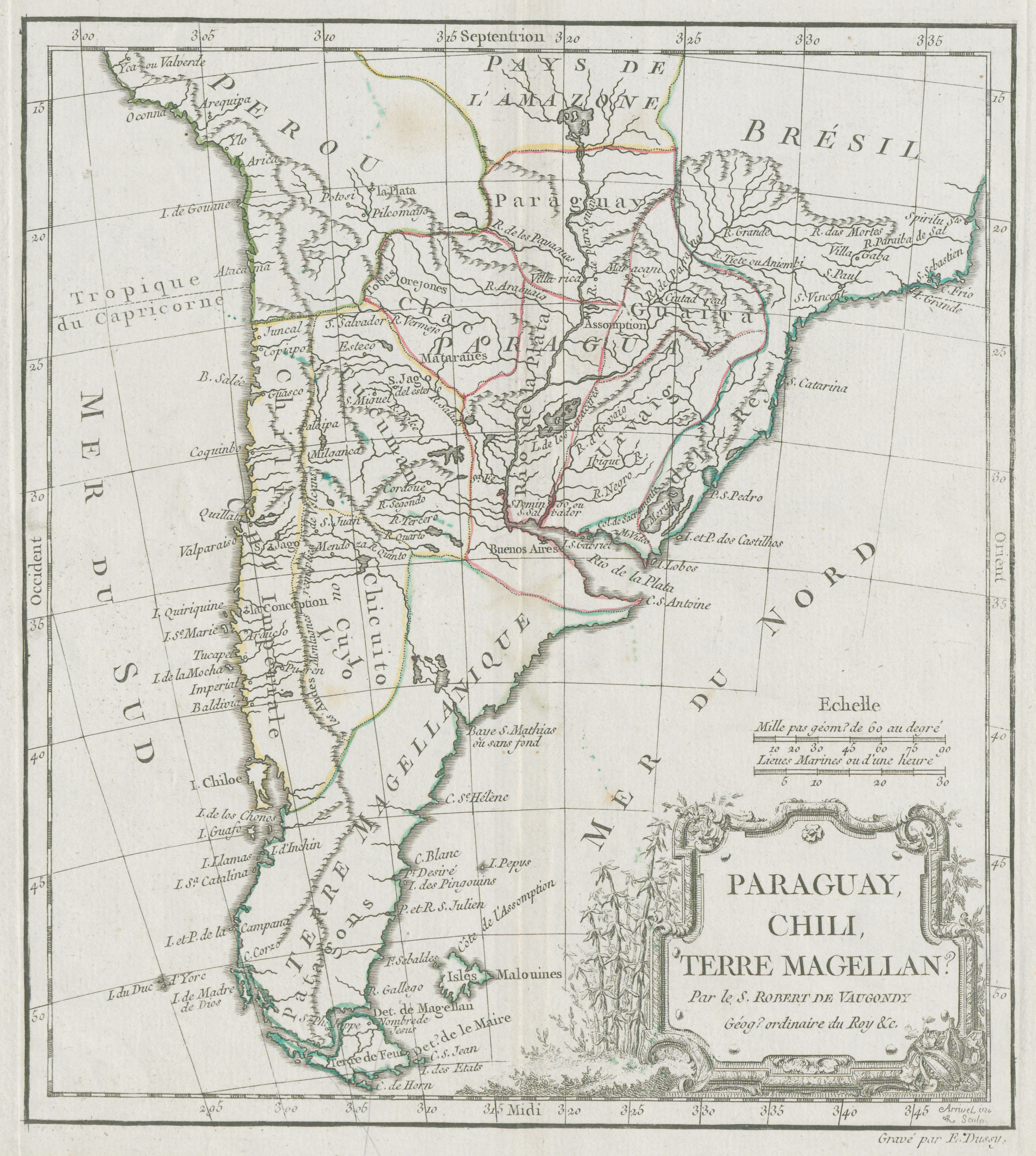
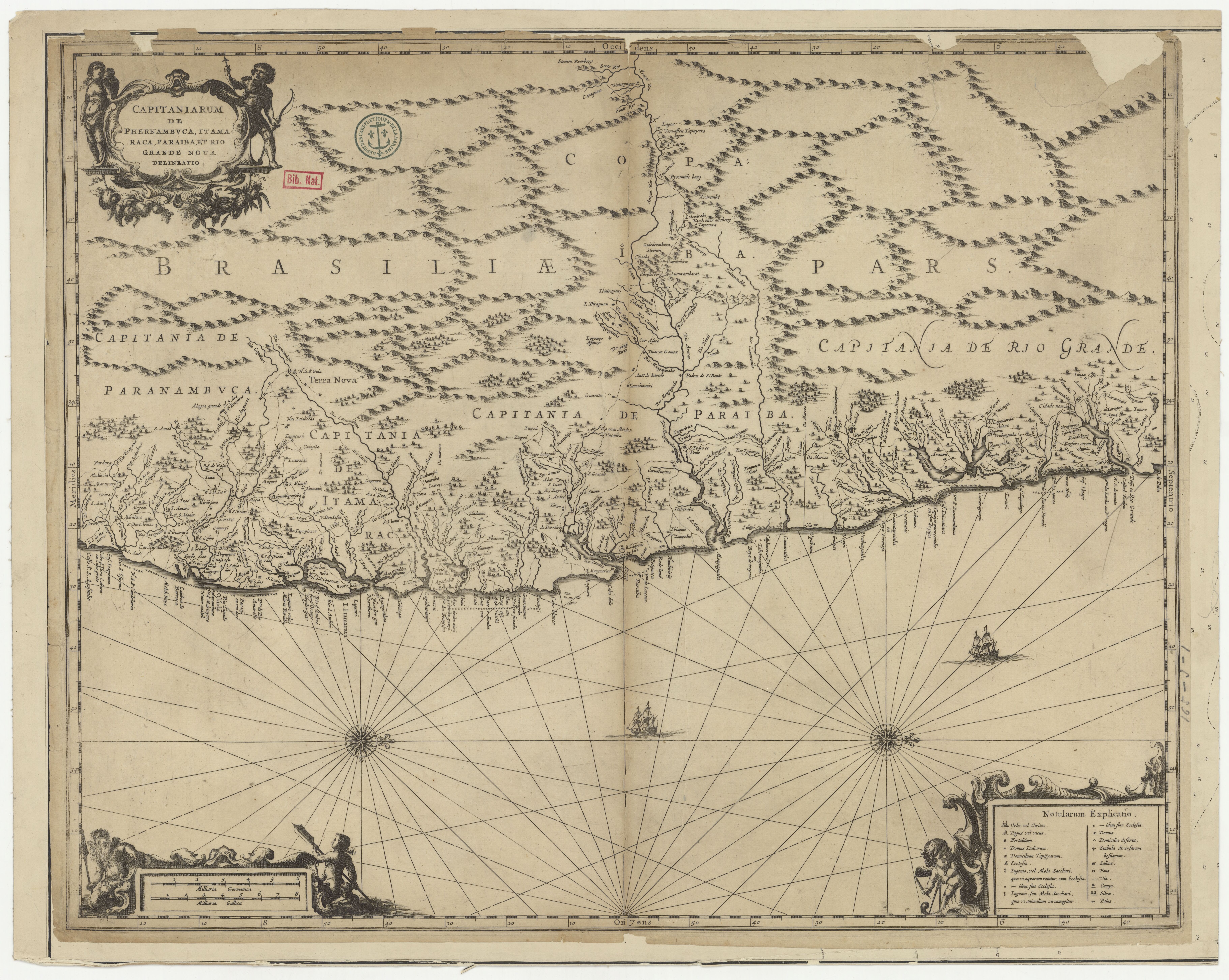
      CARTE que représente la Partie Méridionale DU BRÉSIL ET DU PEROU;LE CHILI SEPTENTRIONAL;EL LE PARAGUAY;Ce qui fait la Pártie de milieu DE L’AMÉRIQUE MERIDIONALE PAR LE SR. D’ANVILLE À VENISE Par P. Santini 1779. Chez M’.Remondiri.

      CARTE que représente la Partie Méridionale DU BRÉSIL ET DU PEROU;LE CHILI SEPTENTRIONAL;EL LE PARAGUAY;Ce qui fait la Pártie de milieu DE L’AMÉRIQUE MERIDIONALE PAR LE SR. D’ANVILLE À VENISE Par P. Santini 1779. Chez M’.Remondiri.

      Mapa 1779
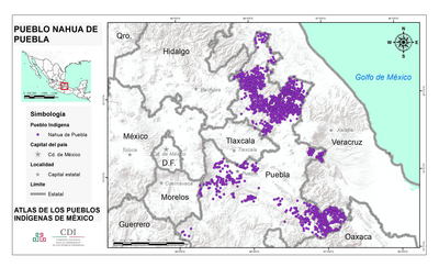
      PUEBLO NAHUA DE PUEBLA

      PUEBLO NAHUA DE PUEBLA

      Mapa 2020
      TERRITORIO DE YUKPA DE PERIJA

      TERRITORIO DE YUKPA DE PERIJA

      Mapa 2018
      PARTE DEL MAR DEL SUR DESDE C. DE S. FRANCISCO HASTA PAIJTA EN LA COSTA DE PERÚ

      PARTE DEL MAR DEL SUR DESDE C. DE S. FRANCISCO HASTA PAIJTA EN LA COSTA DE PERÚ

      Mapa 1628
      El Territorio de los Chibchas

      El Territorio de los Chibchas

      Mapa 1500 - 1599
      CARTE COMMERCIALE des ÉTATS UNIS de VENEZUELA

      CARTE COMMERCIALE des ÉTATS UNIS de VENEZUELA

      Mapa 1888

      Despojos en las Américas

      Un Proyecto de

      University of Pennsylvania

      Copyright 2024

      Con el apoyo de

      Mellon Foundation

      Diseño y Desarrollo del Sitio

      Element 84

      Créditos Artísticos

      Reproduction of a 4th century mural painted on the wall of a royal residence at La Sufricaya in the Peten region of Guatemala. Mural 6 North. Illustration by Heather Hurst 2006. IN Sarah Kurnick and David Rogoff, “Maya cartographies: two maps of Punta Laguna, Yucatan Mexico.” Journal of Social Archaeology 20(2) 2020: 127. https://journals.sagepub.com/doi/pdf/10.1177/1469605320914105
      Páginas del Sitio

      • Inicio
      • Explorar
      • Autores
      • Sobre
      • Arte
      • Cuerpos
      • Planes de Estudio
      • Herencia Cultural
      • Mapas
      • Territorios