Dispossesions in the Americas

Dispossesions in the Americas

  • Inicio
  • Explorar
  • Autores
  • Sobre
  • Arte
  • Cuerpos
  • Planes de Estudio
  • Herencia Cultural
  • Mapas
  • Territorios
Volver a Explorar

Leyendo en Inglés

Mapa 1700 - 1800

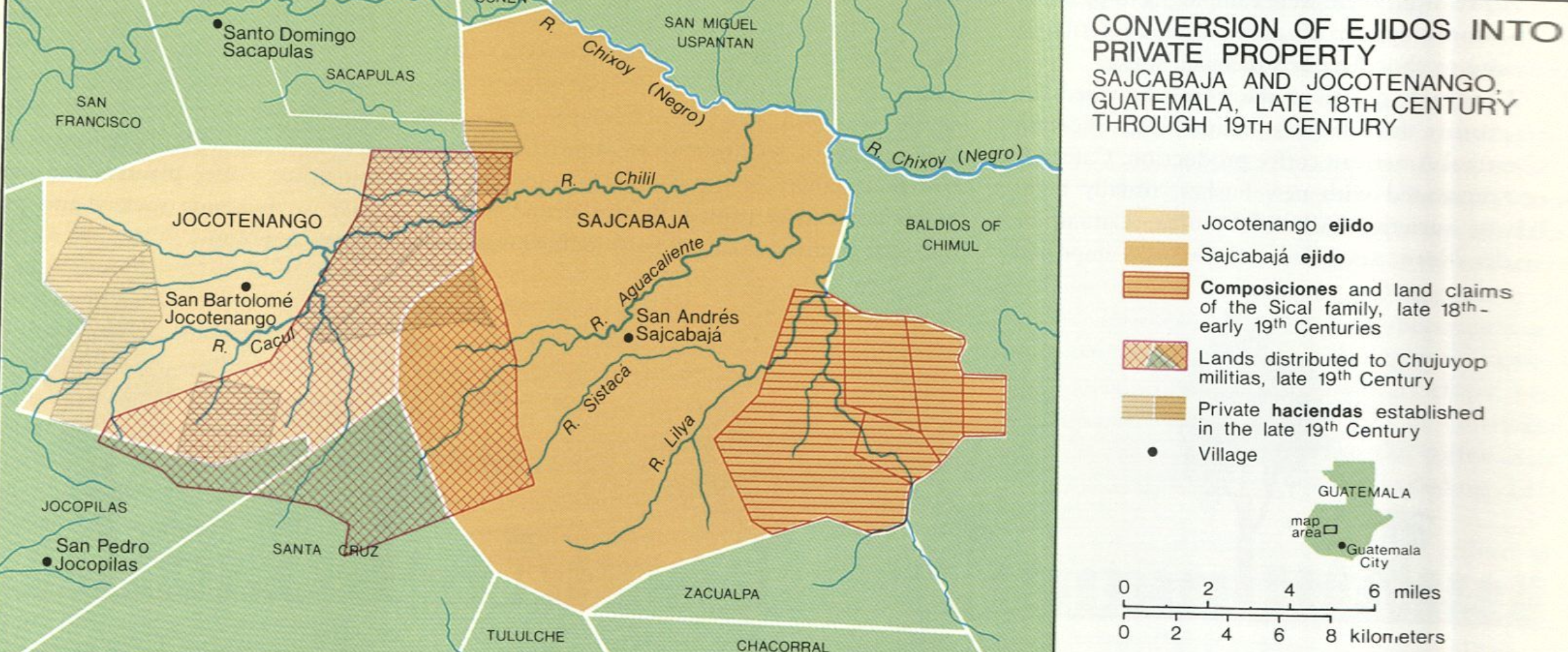
Conversion of Ejidos into Private Property, Sajcabaja and Jocotenango, Guatemala, Late 18th Century through 19th Century

    Publicado: 2005

    • Descargar Imágen
    • Descargar Imágen
    Mapa 1700 - 1800

    Conversion of Ejidos into Private Property, Sajcabaja and Jocotenango, Guatemala, Late 18th Century through 19th Century

      Publicado: 2005

      • Descargar Imágen

      Citas

      "Conversion of Ejidos into Private Property, Sajcabaja and Jocotenango, Guatemala, Late 18th Century through 19th Century" IN Historical Atlas of Central America by Carolyn Hall and Héctor Pérez Brignoli. PG. 196. University of Oklhoma Press, 2005.
      • Descargar Imágen

      Artículos Relacionados

      Indian Creek

      Indian Creek

      Mapa 1997
      "Territorio Indígena Cabagra (Bribri)

      "Territorio Indígena Cabagra (Bribri)

      Mapa 2010
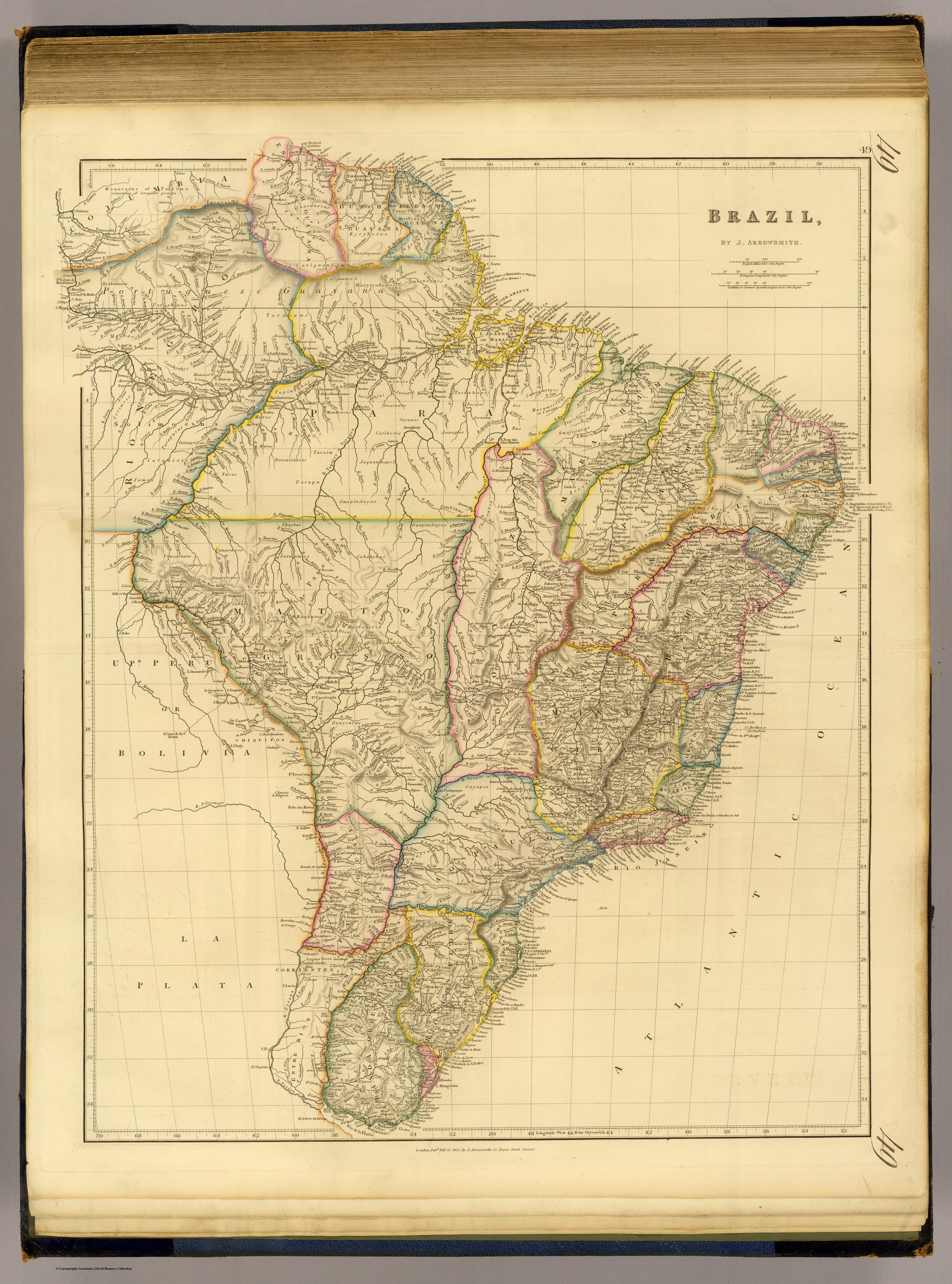
      BRASIL

      BRASIL

      Mapa 1822
      Carte des provinces de Nicaragua et Costa Rica

      Carte des provinces de Nicaragua et Costa Rica

      Mapa 1764
      PUEBLO VACACOCHA

      PUEBLO VACACOCHA

      Mapa 2021
      Caracoles zapatistas

      Caracoles zapatistas

      Mapa 2016
      Guaraní en Argentina 2016, Pueblos Guaraníes en América del Sur 2016

      Guaraní en Argentina 2016, Pueblos Guaraníes en América del Sur 2016

      Mapa 2016
      PUEBLO CHICHIMECA JONAZ

      PUEBLO CHICHIMECA JONAZ

      Mapa 2020

      Despojos en las Américas

      Un Proyecto de

      University of Pennsylvania

      Copyright 2024

      Con el apoyo de

      Mellon Foundation

      Diseño y Desarrollo del Sitio

      Element 84

      Créditos Artísticos

      “Conversion of Ejidos into Private Property, Sajcabaja and Jocotenango, Guatemala, Late 18th Century through 19th Century” IN Historical Atlas of Central America by Carolyn Hall and Héctor Pérez Brignoli. PG. 196. University of Oklhoma Press, 2005.
      Páginas del Sitio

      • Inicio
      • Explorar
      • Autores
      • Sobre
      • Arte
      • Cuerpos
      • Planes de Estudio
      • Herencia Cultural
      • Mapas
      • Territorios