Pueblos
- WAYAPI
Cita
Grenand, Pierre. Ainsi parlaient nos ancêtres : essai d'ethnohistoire « waŷapi ». Paris: ORSTOM, 1982.
![Pátria, sangue e nada mais [Patria, sangre y nada más]](https://dnet8ble6lm7w.cloudfront.net/art_sm/ABRA010.png)
Pátria, sangue e nada mais [Patria, sangre y nada más]
Obra de Arte
A draught of the Bay of Honduras and part of the Musquetto Shore by George Robertson
Mapa 1766
LE BRESIL divisé en ses capitaineries suivant les relations les plus nouvelles
Mapa 1600 - 1650
Serie Fatherland / Padre Patria
Obra de Arte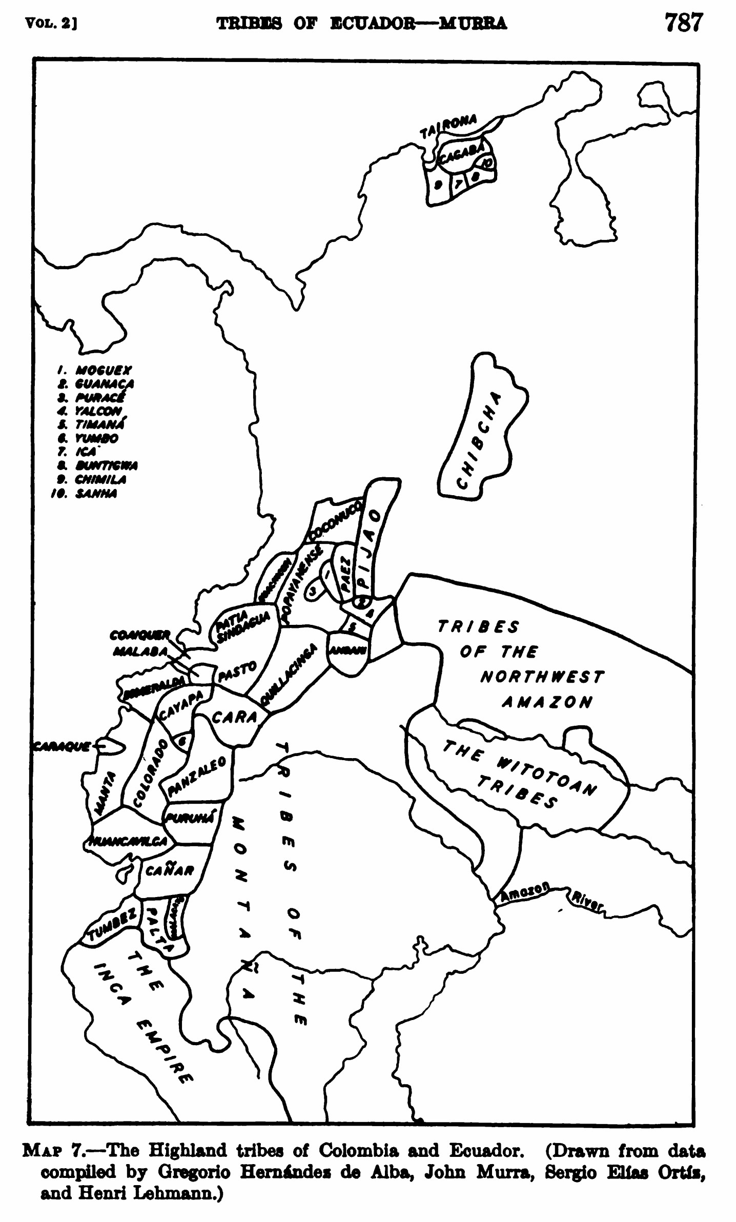
MAP 7.—The Highland tribes of Colombia and Ecuador. (Drawn from data compiled by Gregorio Hernández de Alba;John Murra;Sergio Elías Ortíz;and Henri Lehmann.)
Mapa 1400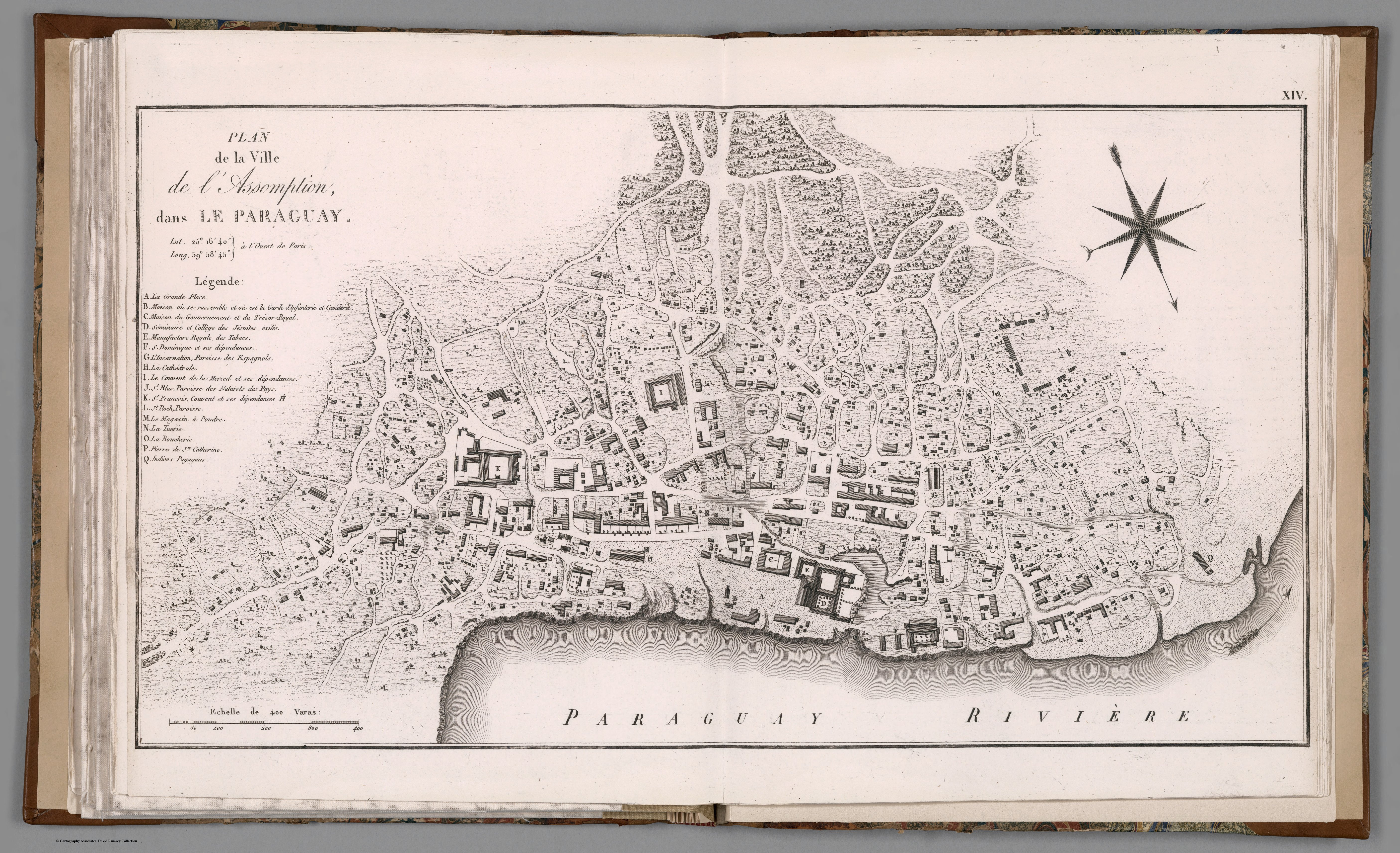
PLAN de la Ville de l’Assomption, dans LE PARAGUAY
Mapa 1781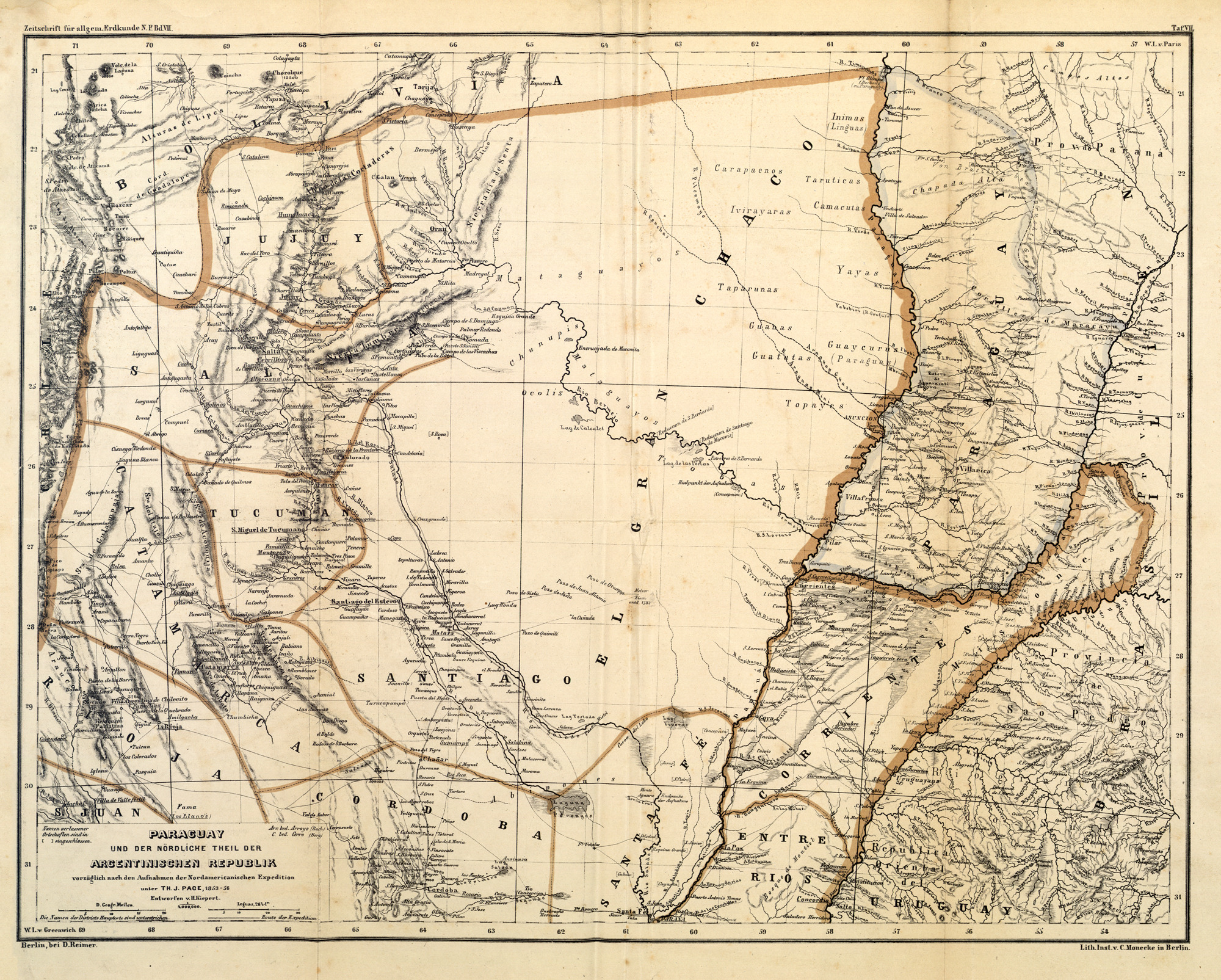
PARAGUAY UND DER NÖRDLICHE THEIL DER ARGENTINISCHEN REPUBLIK
Mapa 1853 - 56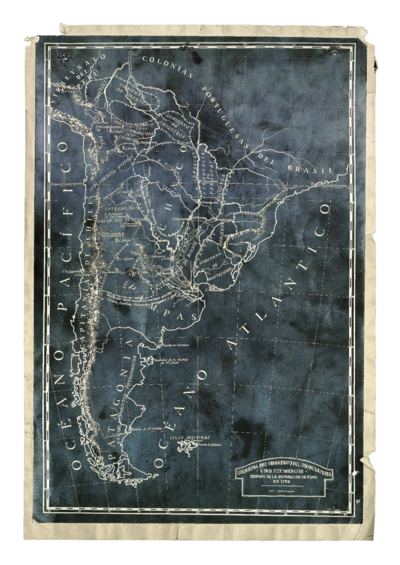
Esquema del virreinato del Río de la Plata y sus Intendencias después de la separación de Puno
Mapa 1796