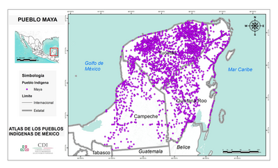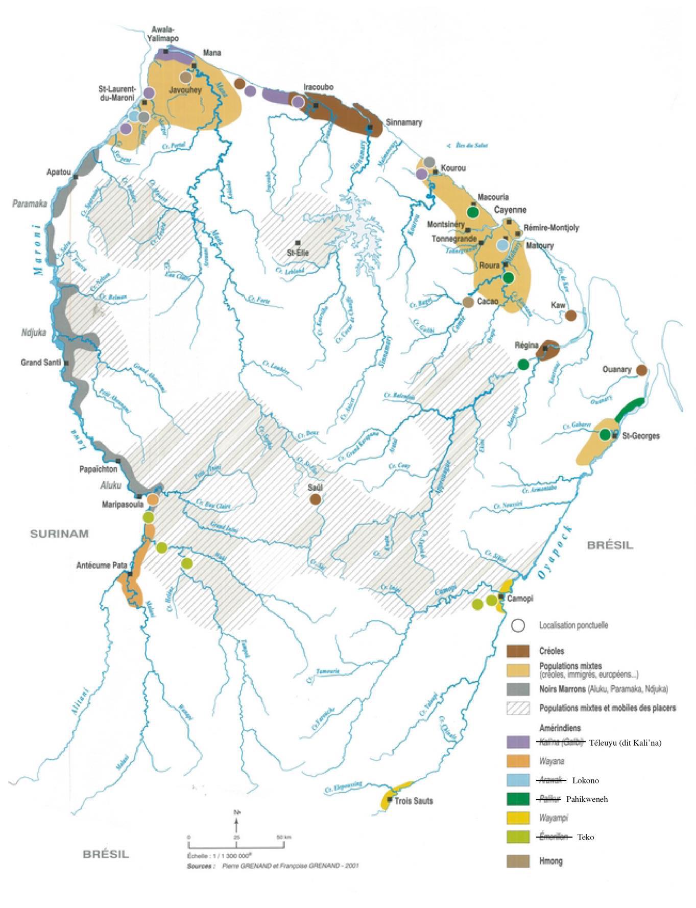
Pueblos
- ARAWAK
- EMERILLON
- GALIBI
- KALI'NA
- LOKONO
- PAHIKWENEH
- PALIKUR
- TELEUYU
- TEKO
- WAYAMPI
- WAYANA
Cita
Organisation des nations autochtones de Guyane. "Préresntation d'un rapport alternatif au repport présenté par la France (108ème session). Cayenne, October 24, 2022. Accessed, February 09, 2024. https://tbinternet.ohchr.org/_layouts/15/TreatyBodyExternal/DownloadDraft.aspx?key=O90nI6yyRdZ8GMFUzhgnmUzD8z1ecEWLPQmfK30xIqSBuPDeSPw77+lQTKXYffGlNEYSNjOO8WVRf0D5TzRwhw==

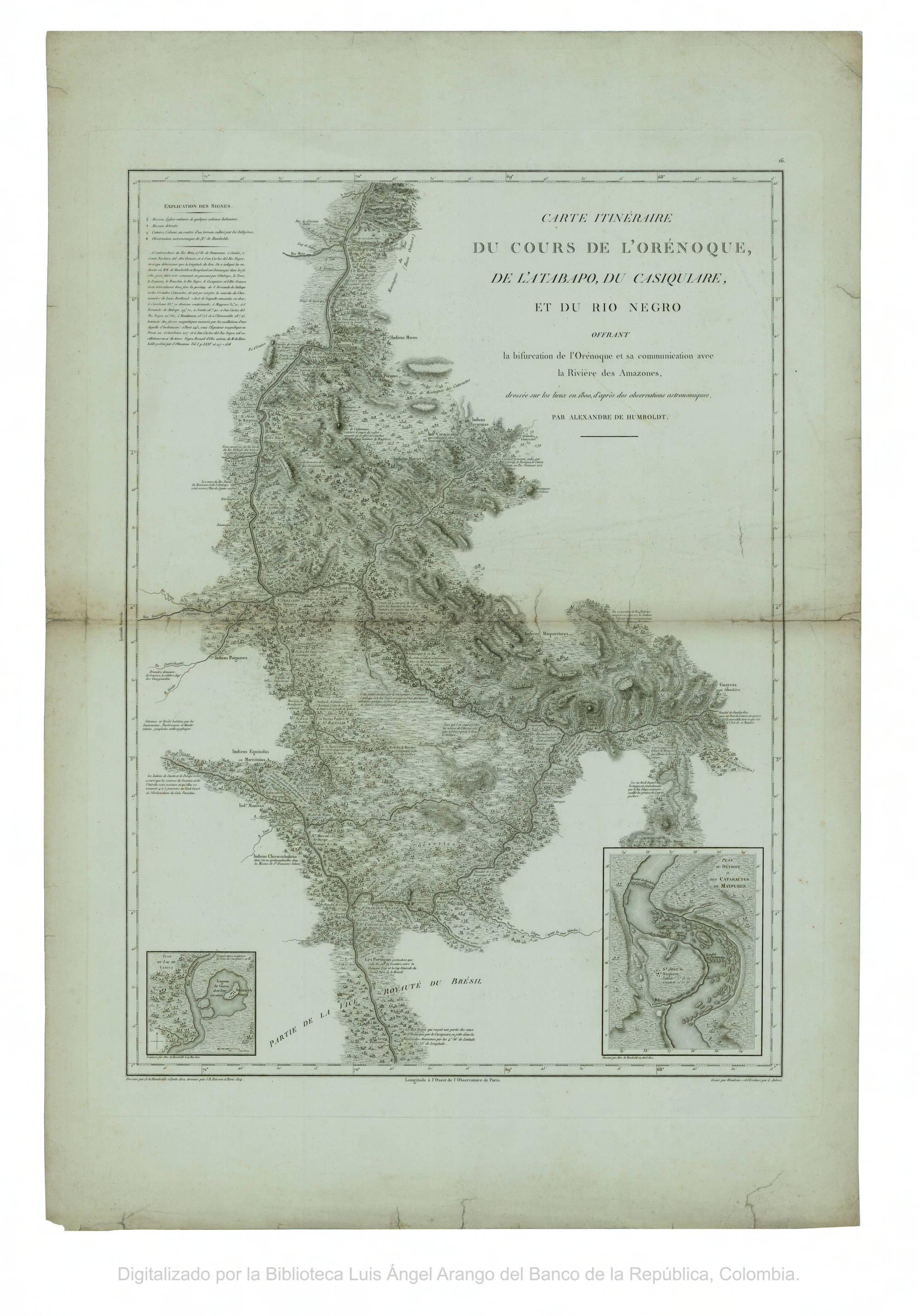
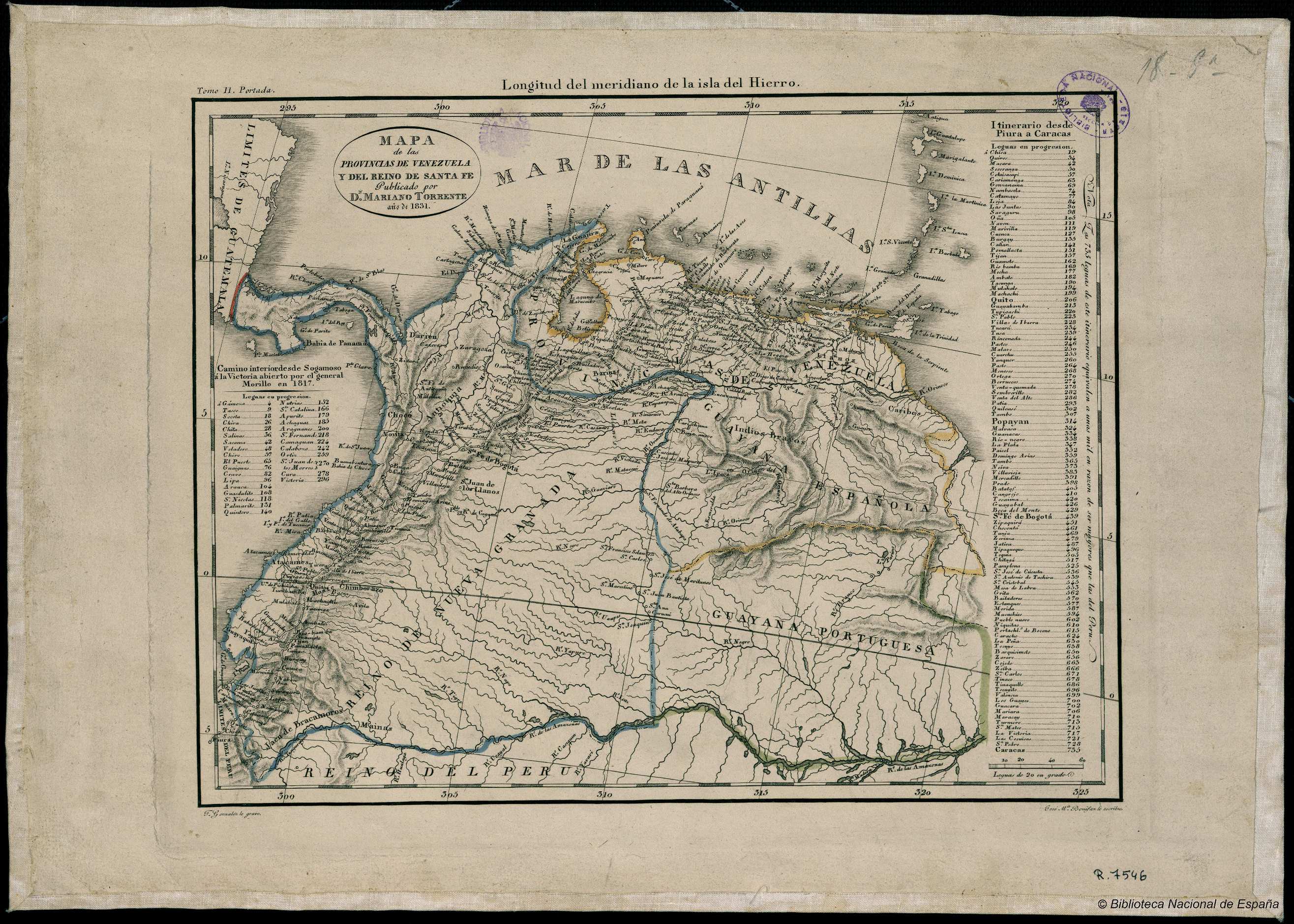
![[Carte de la Guyane, des bassins de l'Orénoque et de l'Amazone]](https://dnet8ble6lm7w.cloudfront.net/maps/CNT/CNT0174.jpeg)