
Pueblos
- AOUARA
- EMERILLON
Cita
Carte de la Guyane française au 1 : 500.000. Gallica. Last modified: September 21, 2015. Accessed, August 29, 2023. https://gallica.bnf.fr/ark:/12148/btv1b53192567g
El Territorio de los Chibchas
Mapa 1500 - 1599
Mapa de la Republica de Guatemala
Mapa 1800
Guiana verdeelt in Guiana en Caribana. door N. Sanson d.'Abbeville, Geogr ordre. du Roÿ
Mapa 1600 - 1699
Pueblos Indígenas en Paraguay
Mapa 2009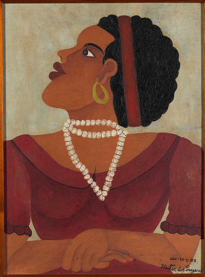
Mulata
Obra de Arte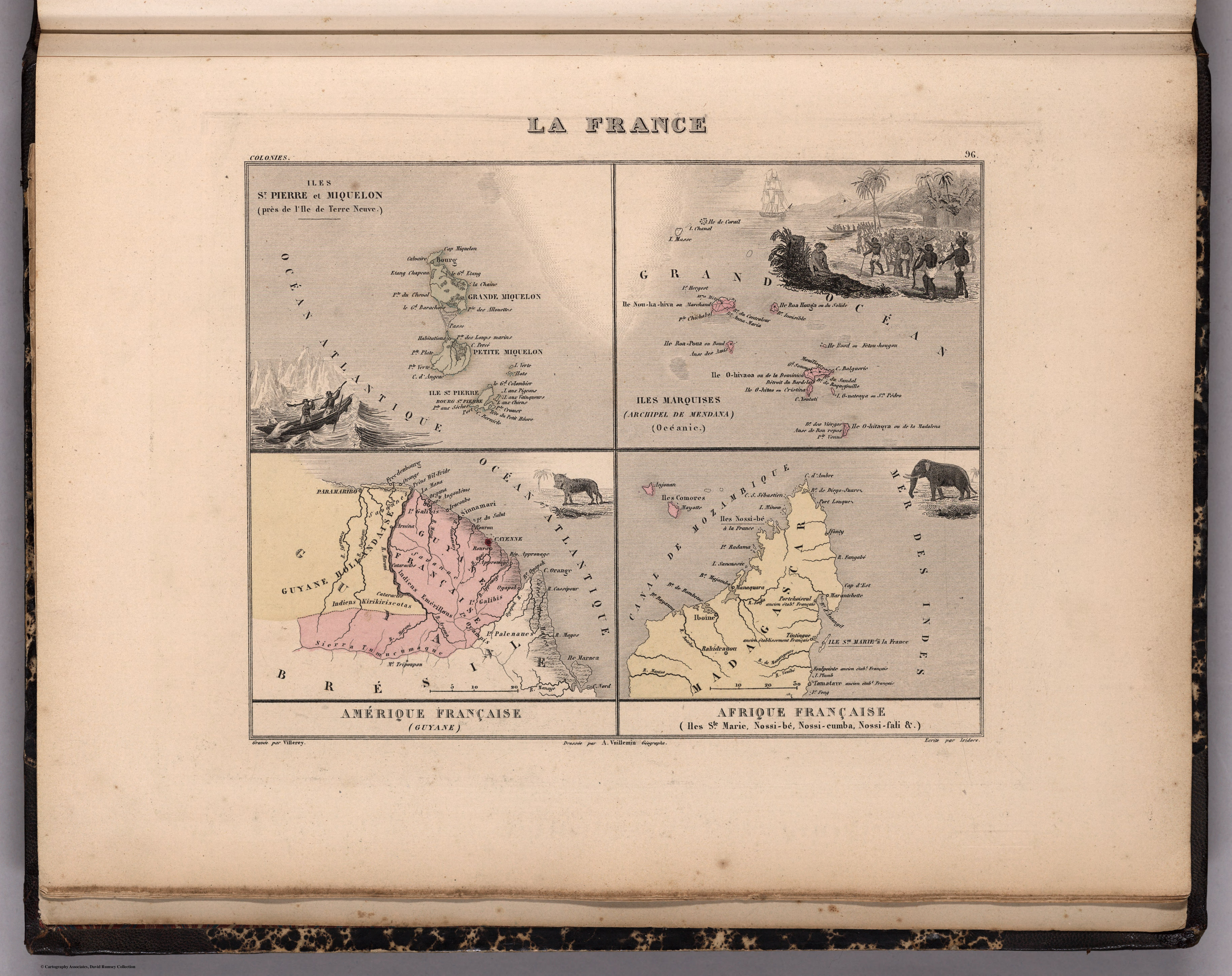
La France. Amérique Française (Guyane). Afrique Française (Illes S.te Marie, Nossi-bé, Nossi-cumba, Nossi-fali &.).
Mapa 1869
PUEBLO BORA
Mapa 2021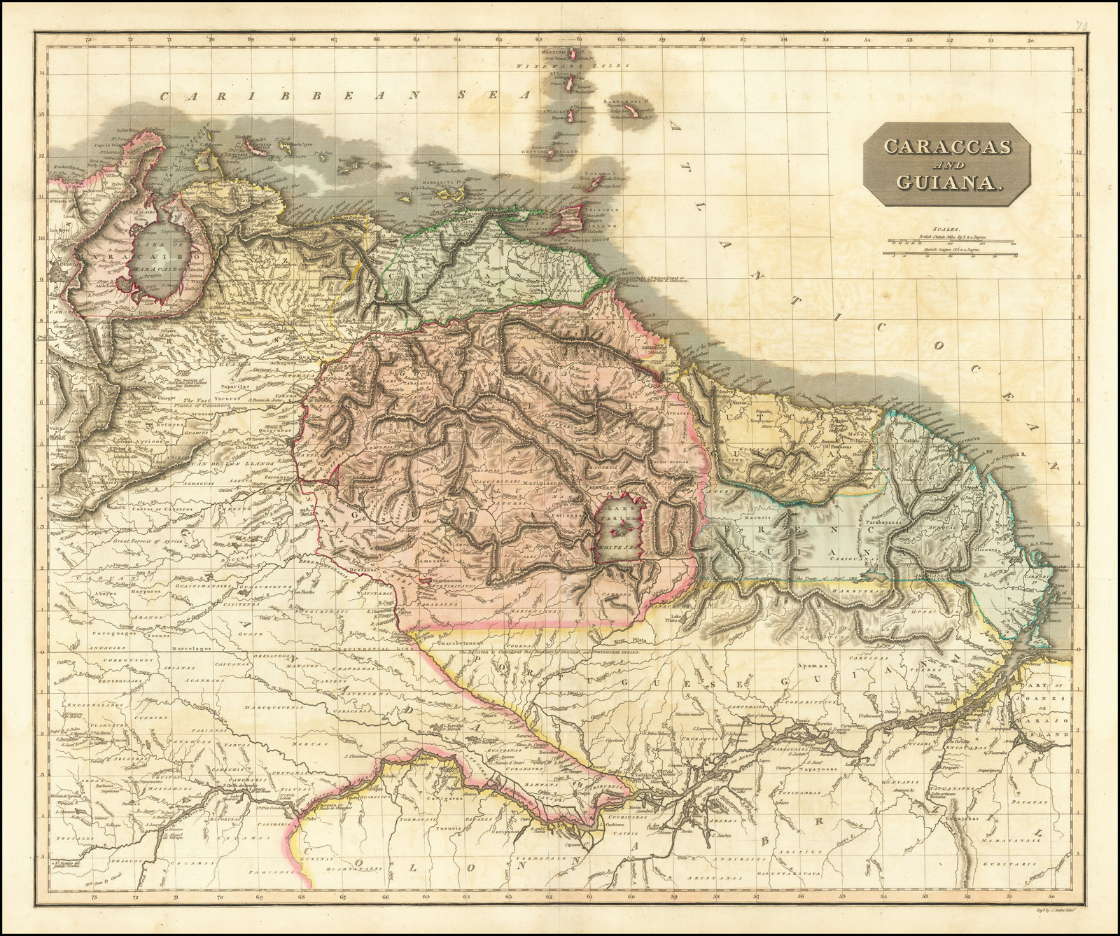
CARACCAS AND GUIANA
Mapa 1814