Pueblos
- ROCOUYENNES
Cita
Carte de la Guiane françoise dressée d'après plusieurs nouvelles reconnaissances. Gallica. Last modified: September 21, 2015. Accessed, August 29, 2023. https://gallica.bnf.fr/ark:/12148/btv1b531032438

PUEBLO BORA
Mapa 2021![The Lighthouse [El faro]
MAM Rio](https://dnet8ble6lm7w.cloudfront.net/art/ABRA004.jpeg)
The Lighthouse [El faro] MAM Rio
Obra de Arte
PUEBLO JAKALTECO
Mapa 2020
LOCALIZACIÓN GEOGRÁFICA DE BORAS Y MIRAÑAS
Mapa
Mapa Mundi
Mapa 1615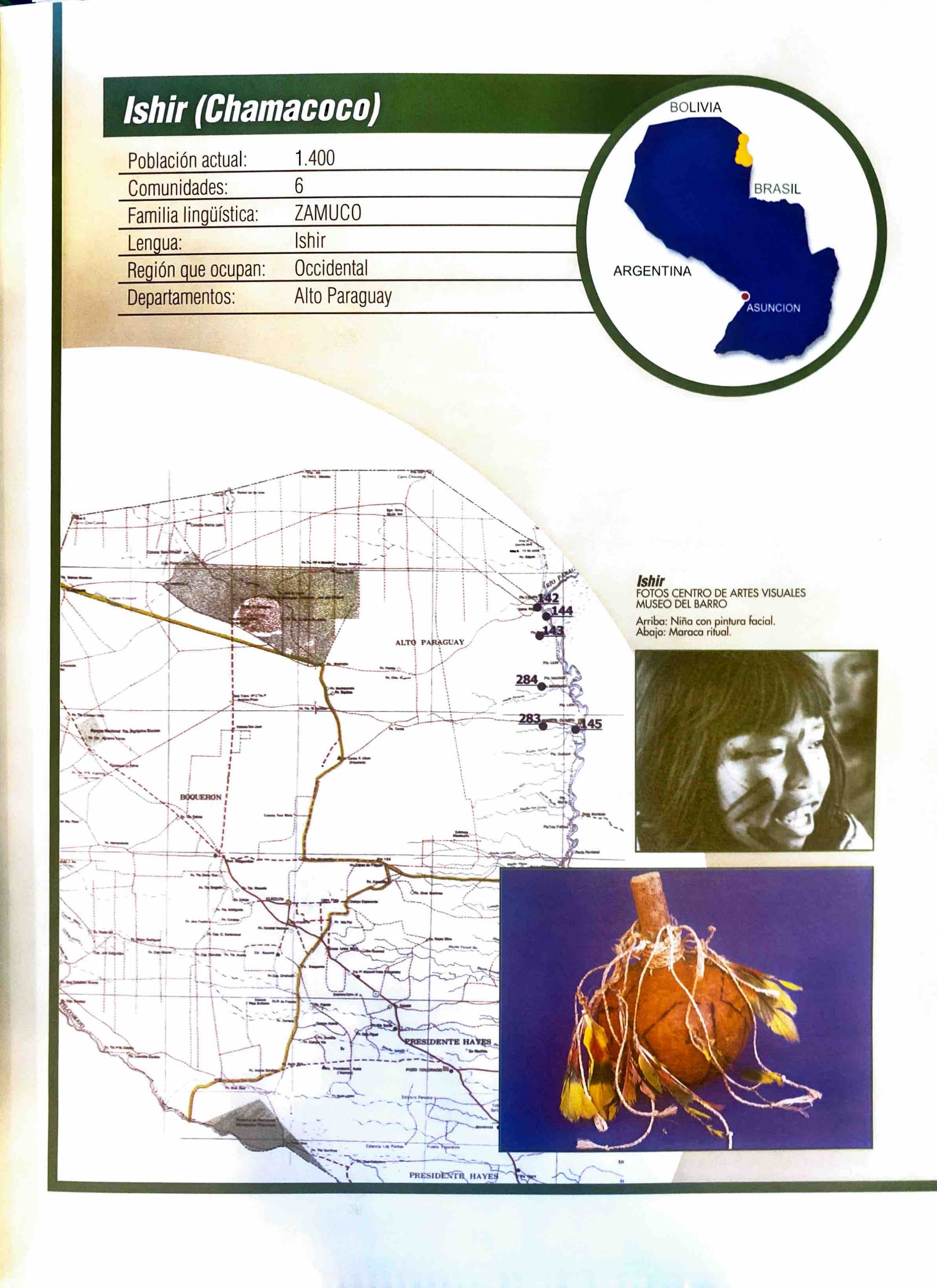
Ishir (Chamacoco)
Mapa 2001
The modern departments of Ahuachapán, La Libertad, Santa Ana, and Sonsonate (highlighted in red) now contain the highest concentration of Indigenous communities in El Salvador.
Mapa 2010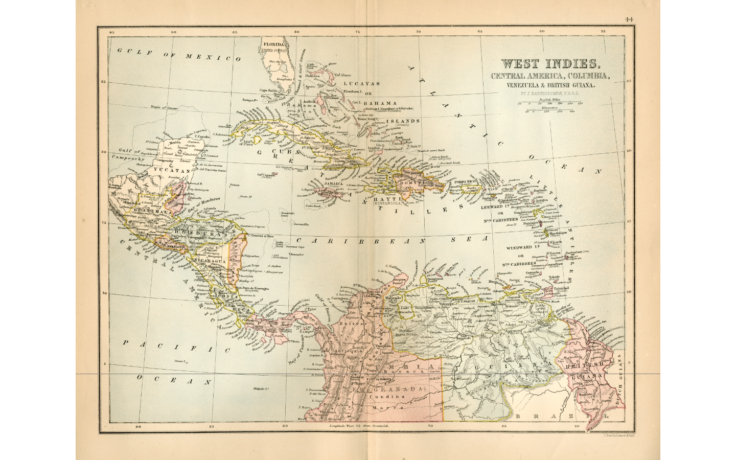
WEST INDIES;CENTRAL AMERICA;COLUMBIA;VENEZUELA & BRITISH GUIANA
Mapa 1876