Pueblos
- AROUAS
Cita
The Island and Colony of Cayenne subject to the French, on the Continent of South America. The JCB Library. Accessed, August 15, 2023. https://jcb.lunaimaging.com/luna/servlet/detail/JCBMAPS~1~1~2160~109480001
Map of Tenango (Valley of Mexico), 1587, Archivo General de la Nación, no. 1822
Mapa 1587
EL SEÑORÍO AYMARA DE LOS SURAS: COLONIAS DE SURA BAJO EL DOMINIO INCA EN EL SIGLO XVI
Mapa 1500 - 1599
Mapa Corografico De la Provincia de Sta. Marta y parte de las de Cartagena de Yndias, Giron, Pamplona, Maracaybo, Y Rio del Hacha sus confinante
Mapa 1811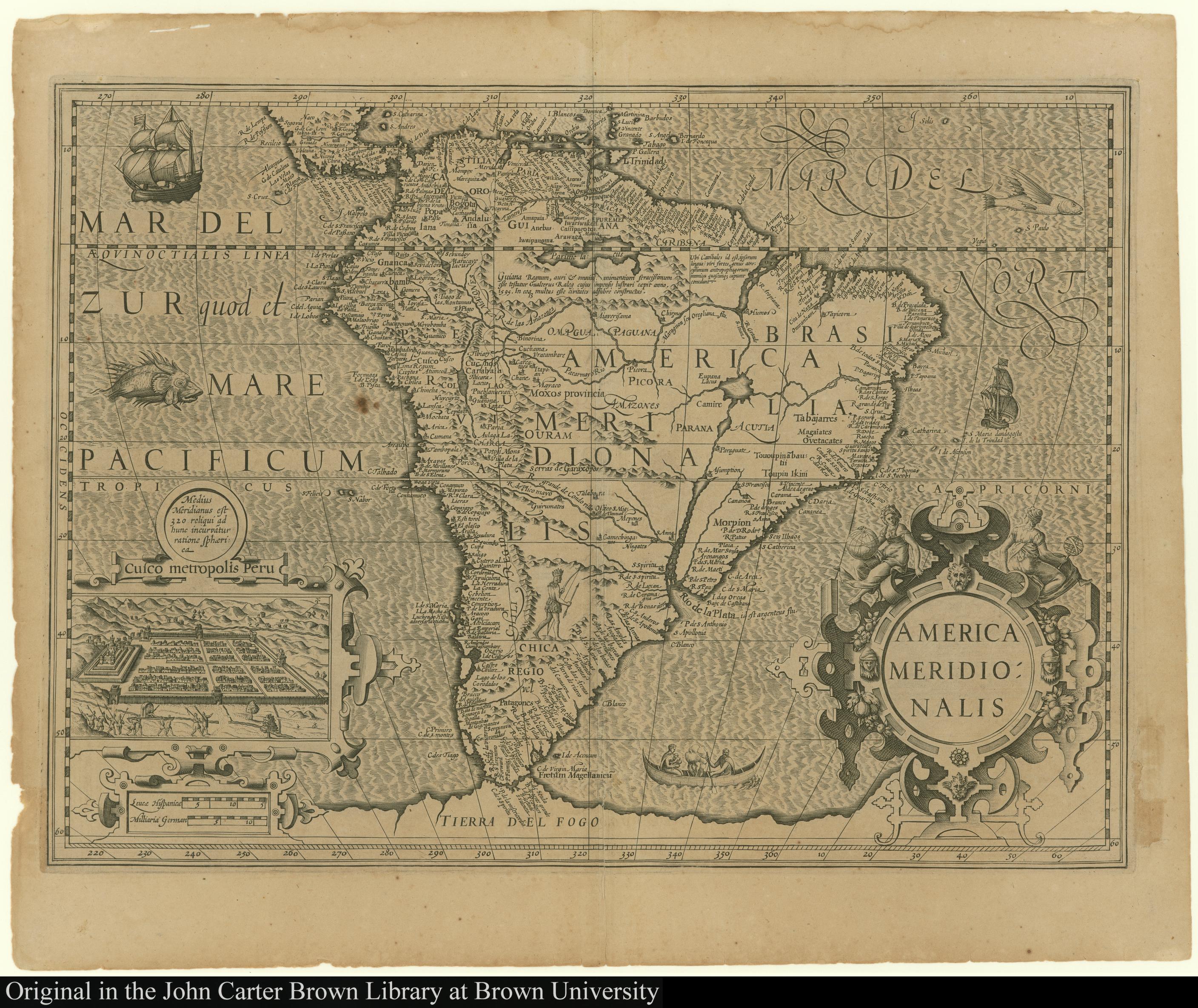
America Meridionalis
Mapa 1619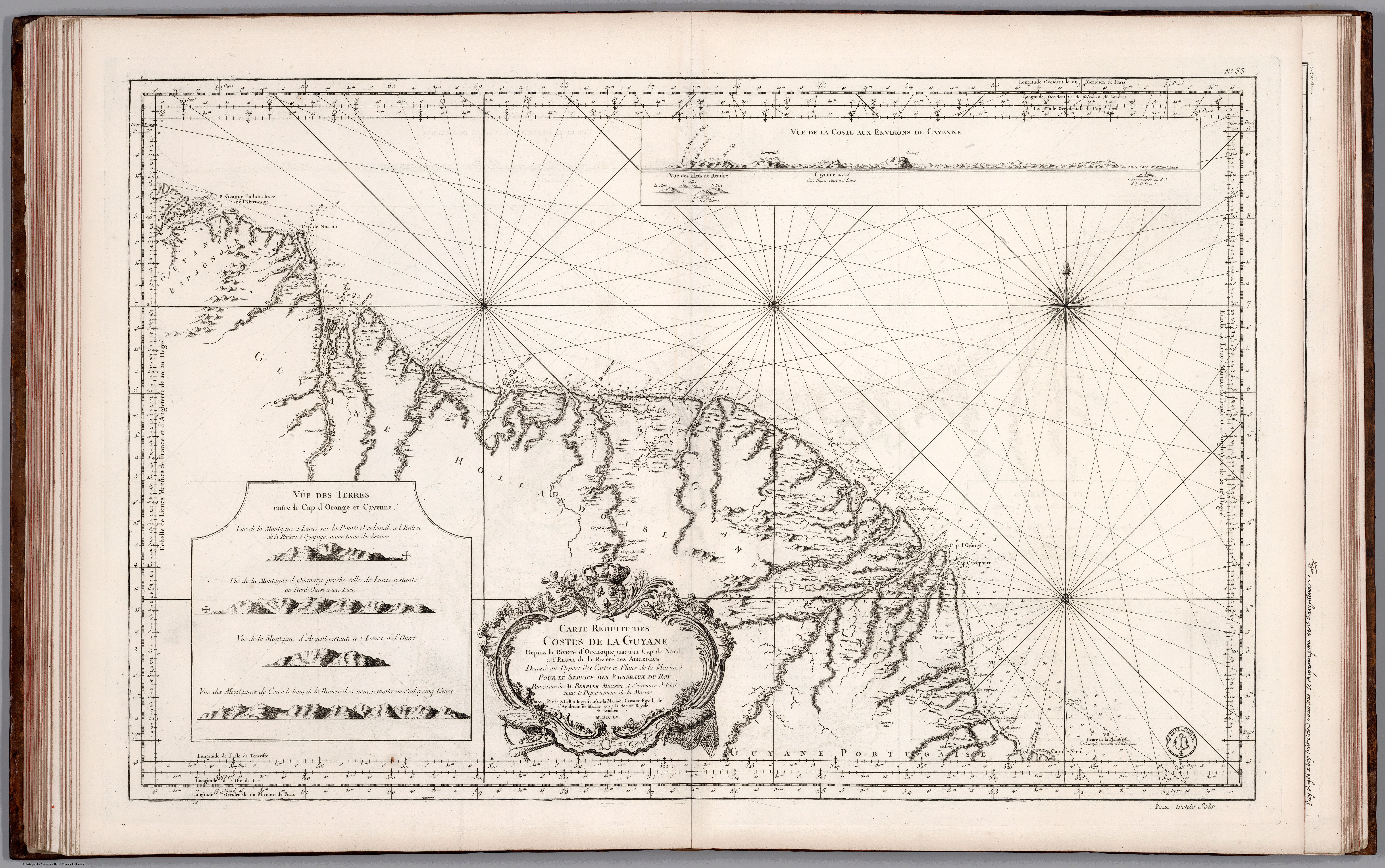
Carte Réduite des Costed de la Guyane Despuis la Riviere d'Orenoque jusqu'au Cap de Nord à l'Entrée de la Riviere des Amazones.
Mapa 1760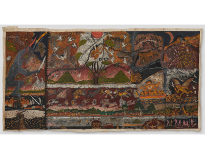
Cosmovisión huitoto
Obra de Arte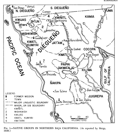
Native Groups in Northern Baja California
Mapa 1939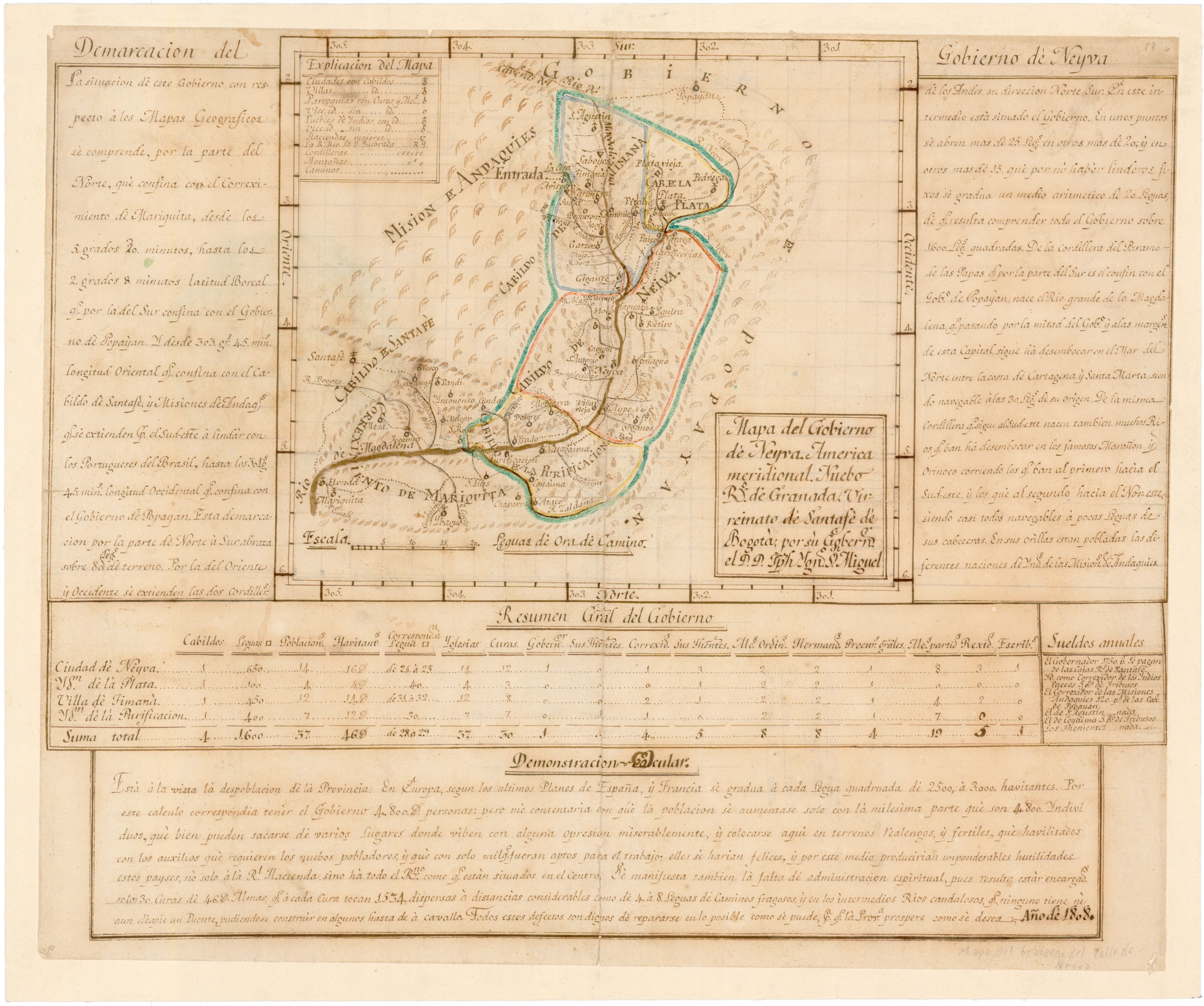
Mapa del Gobierno de Neyva: America Meridional: Nuebo Ro. de Granada : Virreinato de Santafé de Bogota
Mapa 1808