Pueblos
- ACOQUAS
- AMICOUANES
- MAYEZ
- PAPOUROUIS
- PIRIOUS
- POLICOURS
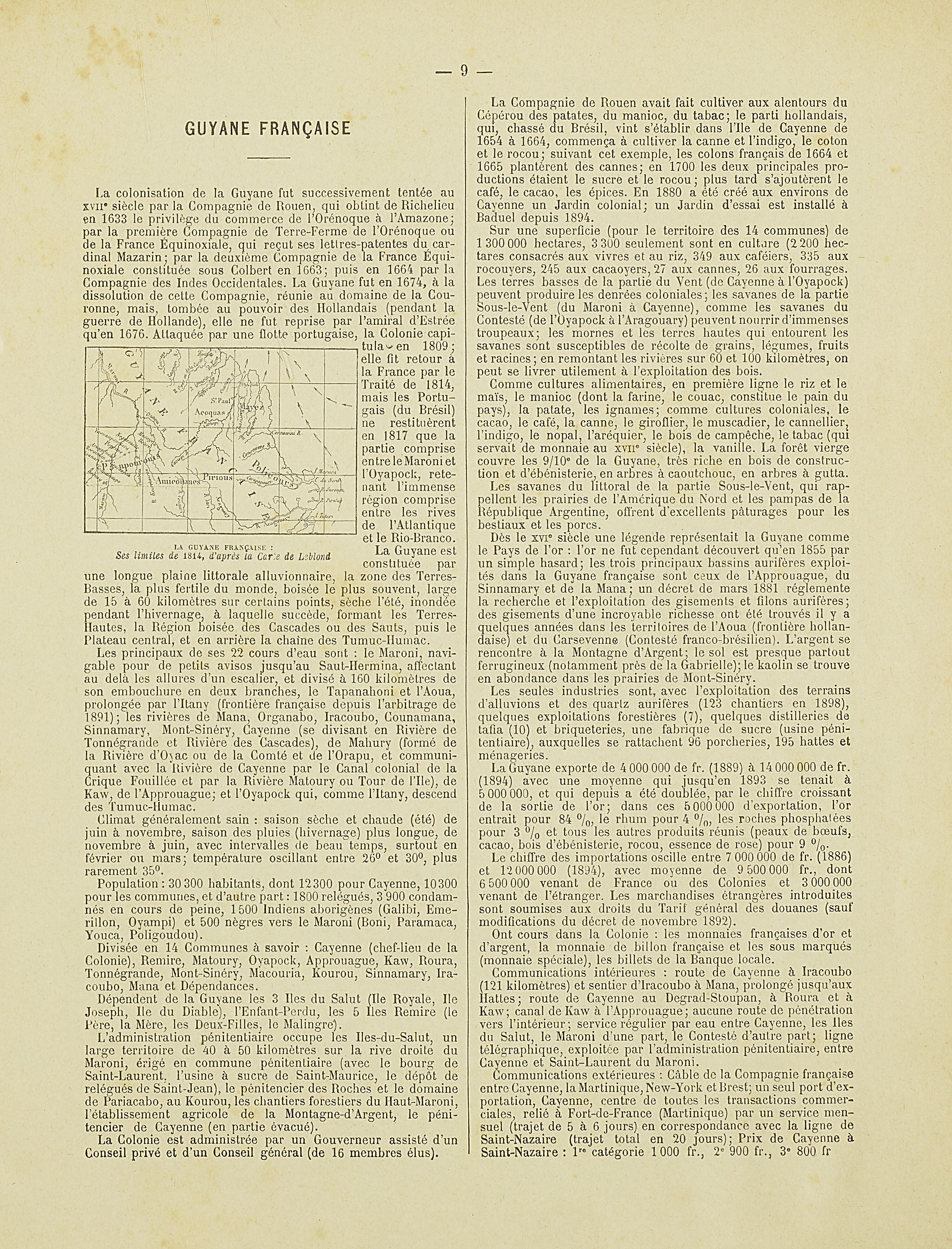
Cita
Nouvel Atlas colonial. Gallica. Last modified: May 24, 2020. Accessed, August 1, 2023. https://gallica.bnf.fr/ark:/12148/bpt6k1100234w/f10.item
MAPA DE TEPETLAOZTOC
Mapa 1500 - 1599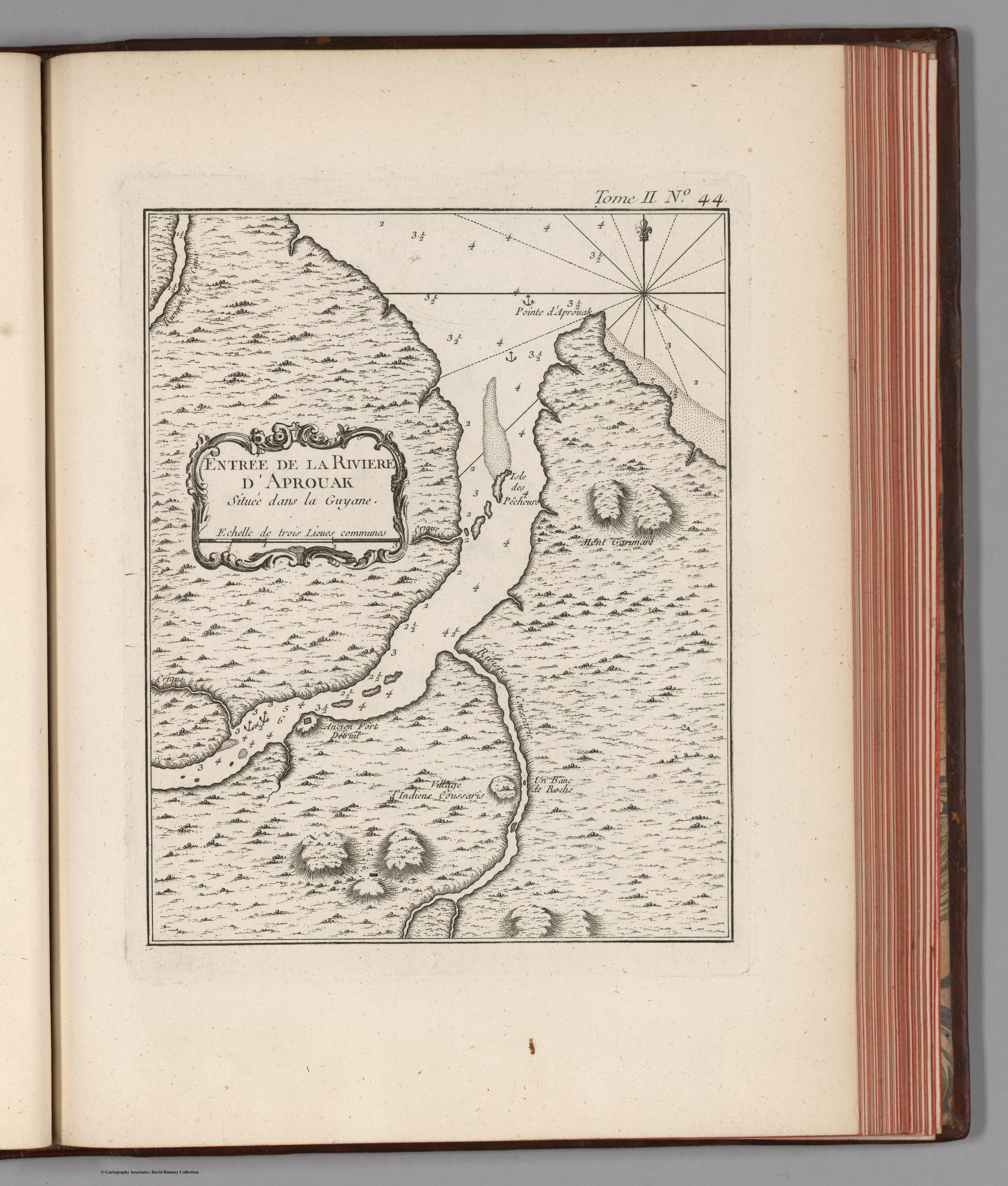
Entree de la Riviere d'Aprouak situee dans la Guyane
Mapa 1767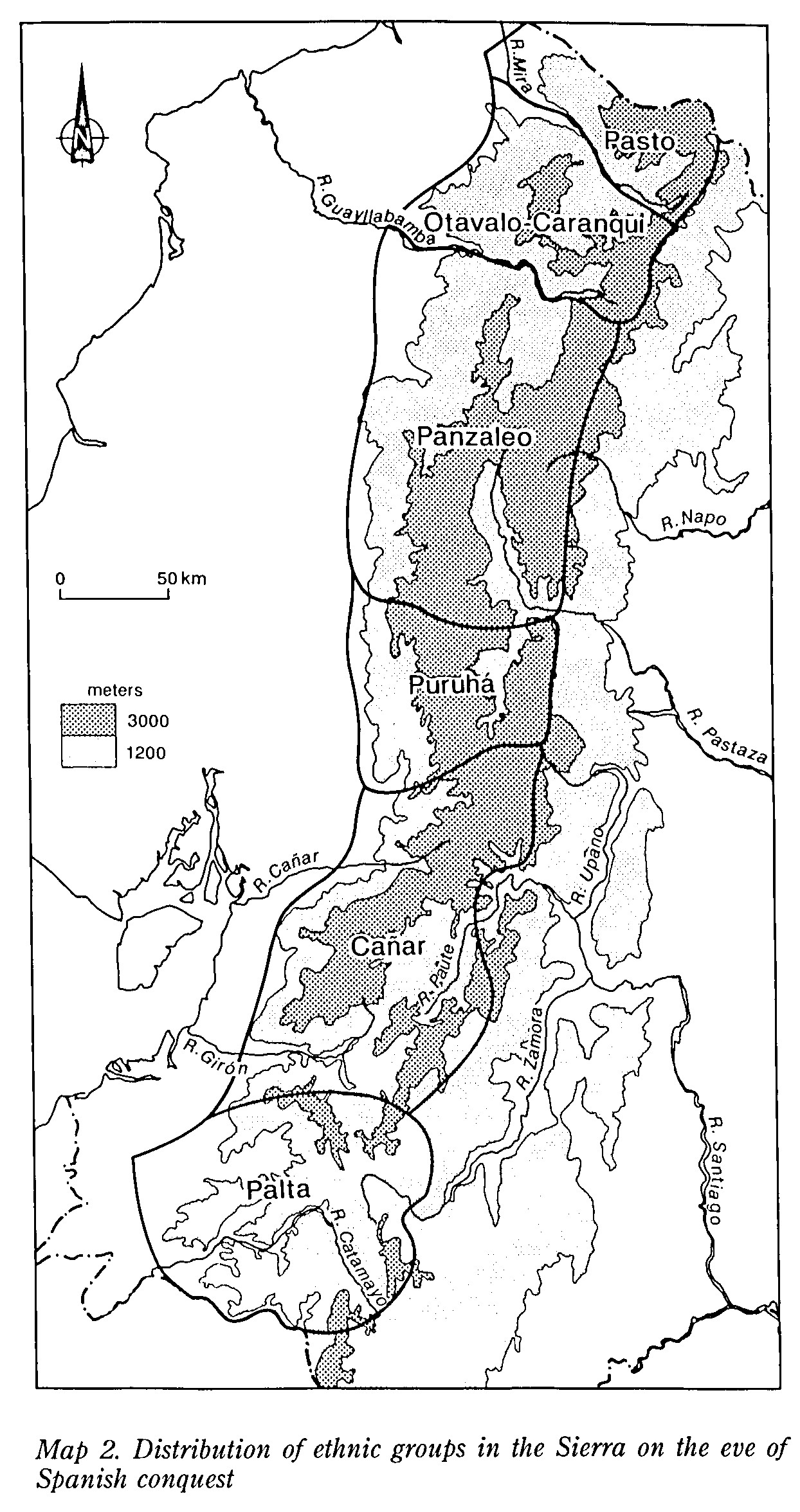
MAP 2. DISTRIBUTION OF ETHNIC GROUPS OF THE SIERRA ON THE EVE OF SPANISH CONQUEST
Mapa 1490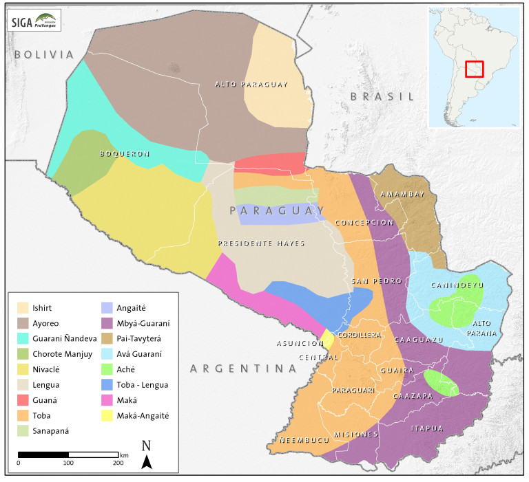
Paraguay Tribal Map
Mapa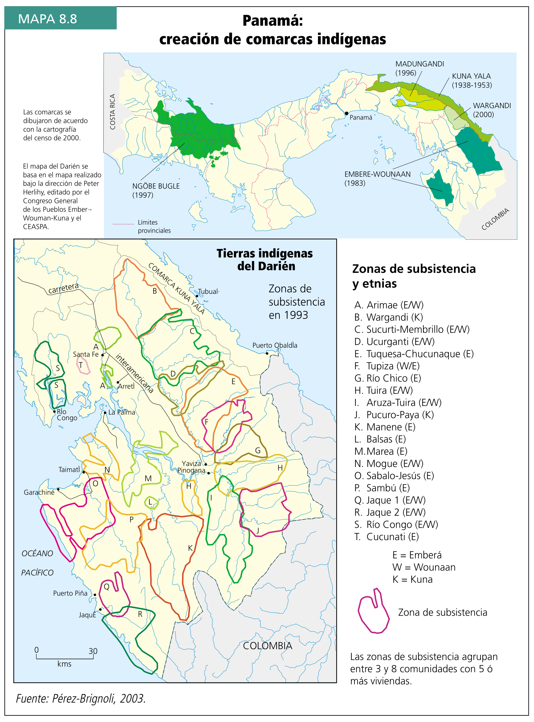
Panamá: creación de comarcas indígenas
Mapa 2000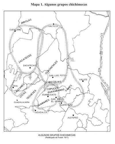
Algunos grupos chichimecas
Mapa 2014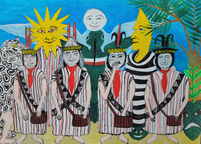
Saweto
Obra de Arte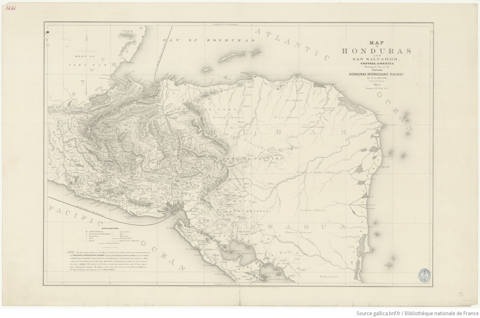
Map of Honduras and San Salvador, Central America, Showing the line of the proposed Honduras Interoceanic Railway
Mapa 1854